May / June 2022 Vacation Day 5 · · PAGE 9.
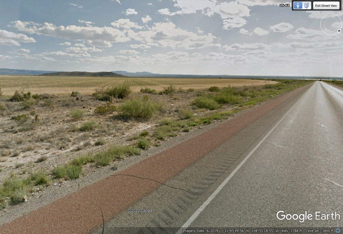
May 27, 2022: Texas has a number of
mountains and irrigated farm land south of New Mexico heading west toward El
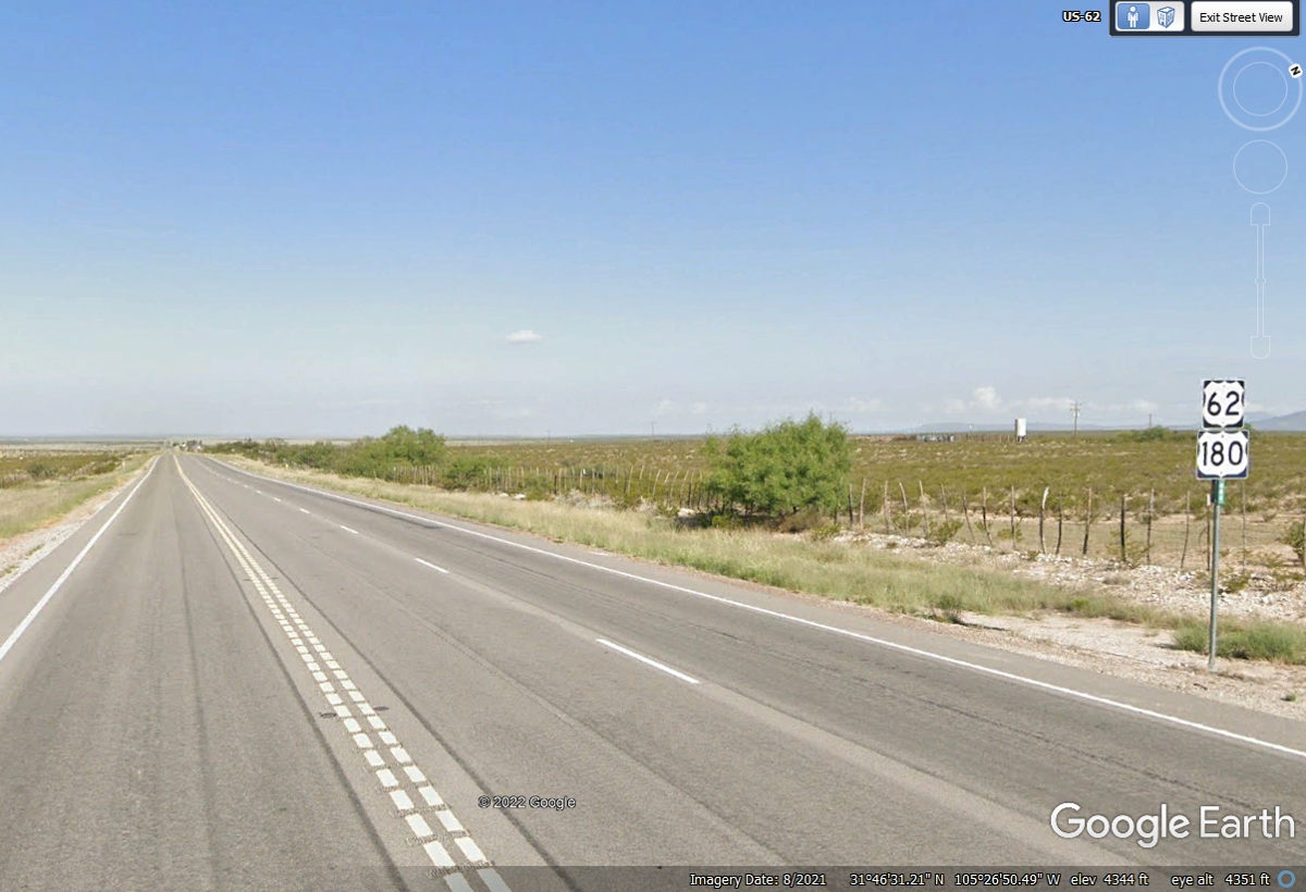
Paso, Texas. US 62 passes very close to a large circular irrigation farm
field after the highway has wound its way out of the mountains coming south to this
point where the road has turned to a westerly course. This is a lonely
stretch of highway.
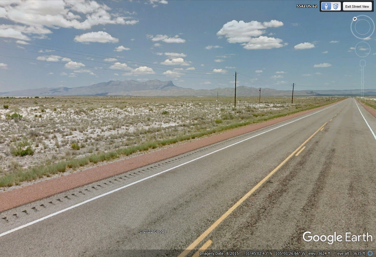
This location below on US 62/US 180 is west of the first irrigation fields looking NORTHEAST
back at the Guadalupe Mountains about 23.5 miles from here to the tallest peak,
El Capitan. The soil here is white sand.
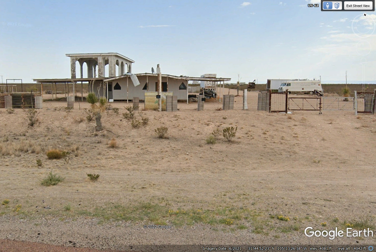
With the gate open and some trucks and trailers parked here, this place
could be related to irrigation farming.
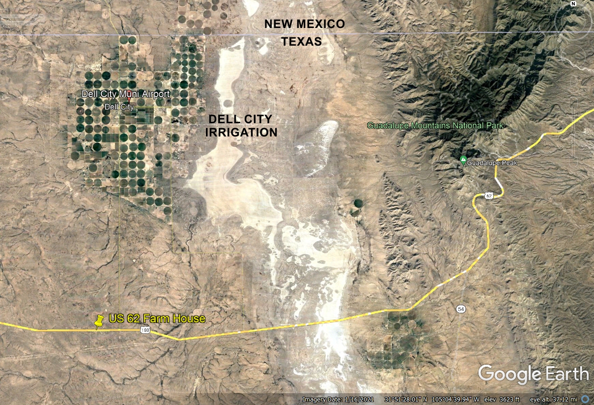
There are a number of homes near the center of Dell City, TX. There
are a lot of irrigation wells here compared to the fields down at US 62.
North is UP in this image below with US 62 going west to the El Paso area of west
Texas.
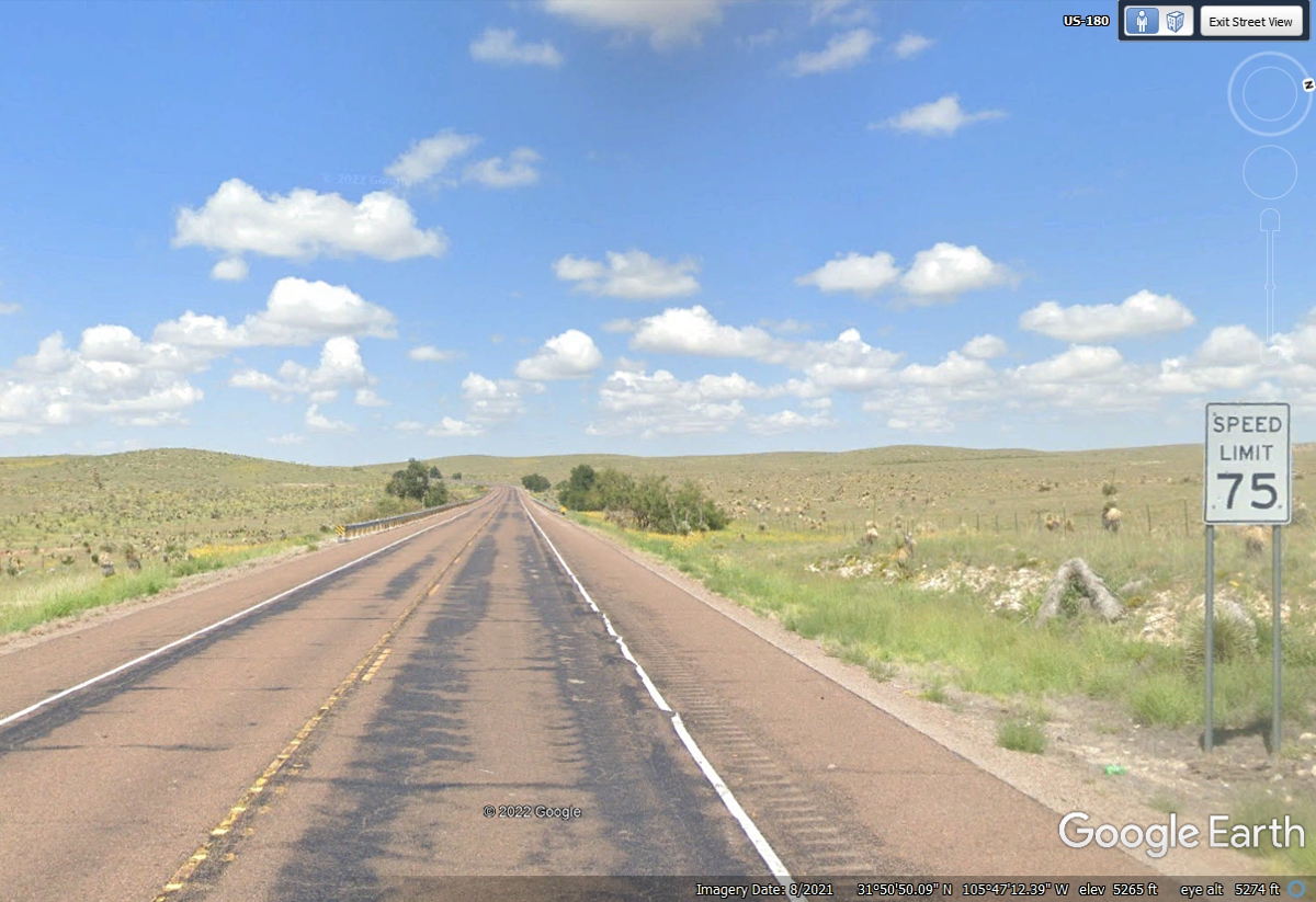
This route has plenty of open road with 2 and 3 lanes as needed for
passing slower traffic.
West Texas has a number of two lane highways with 75 MPH speed limits like
this one.
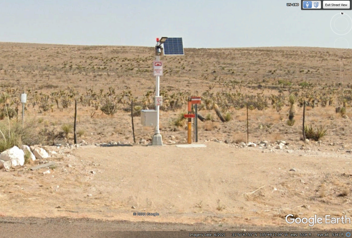
There must not be any strong CELL PHONE towers near this place on US 62/US
180 since there appears to be a land line phone here. I would guess the
solar panel is there to keep the battery charged for the LED light and the
orange light at the top of the pole.
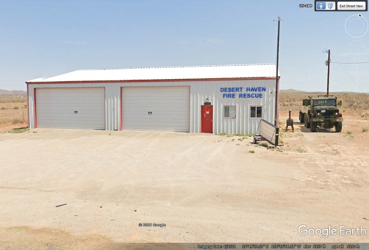
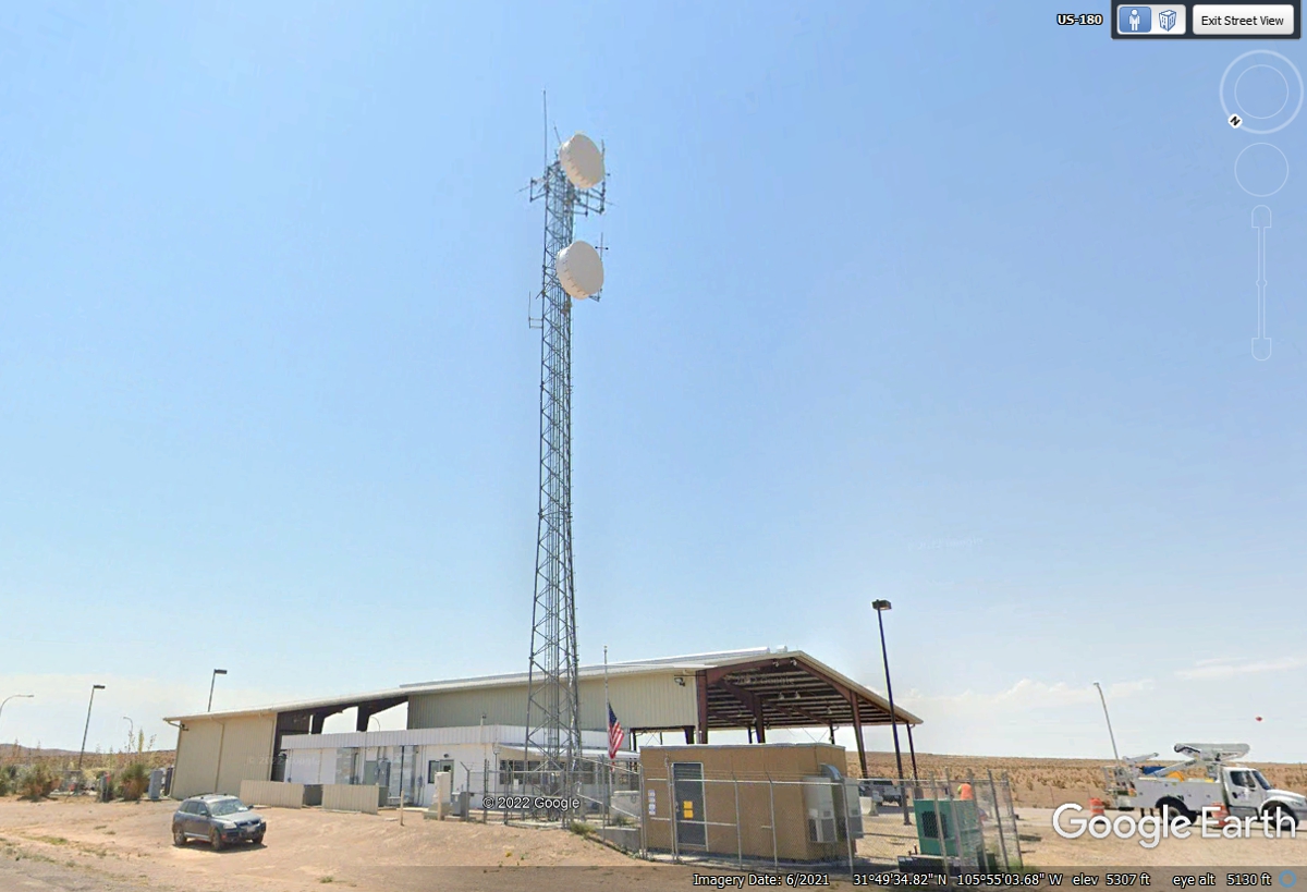
This fire rescue station is directly across from a terrestrial microwave
tower where we see the first signs of civilization.
Here is that microwave antenna array on the south side of the highway
pointed toward El Paso to the West. The other antennas up there are
typical UHF and VHF antennas used by law enforcement and fire rescue services.
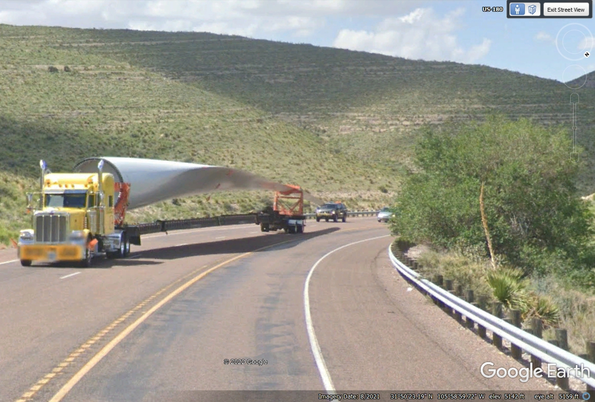
I have seen these wind generator blades out on the Interstate Highway, but
this is the first one I have seen on a US highway climbing up to the high desert
EAST of El Paso. This is US 62 and US 180. The SUV following the rig
with flashing red lights keeps other traffic from running up under the end of
the blade.
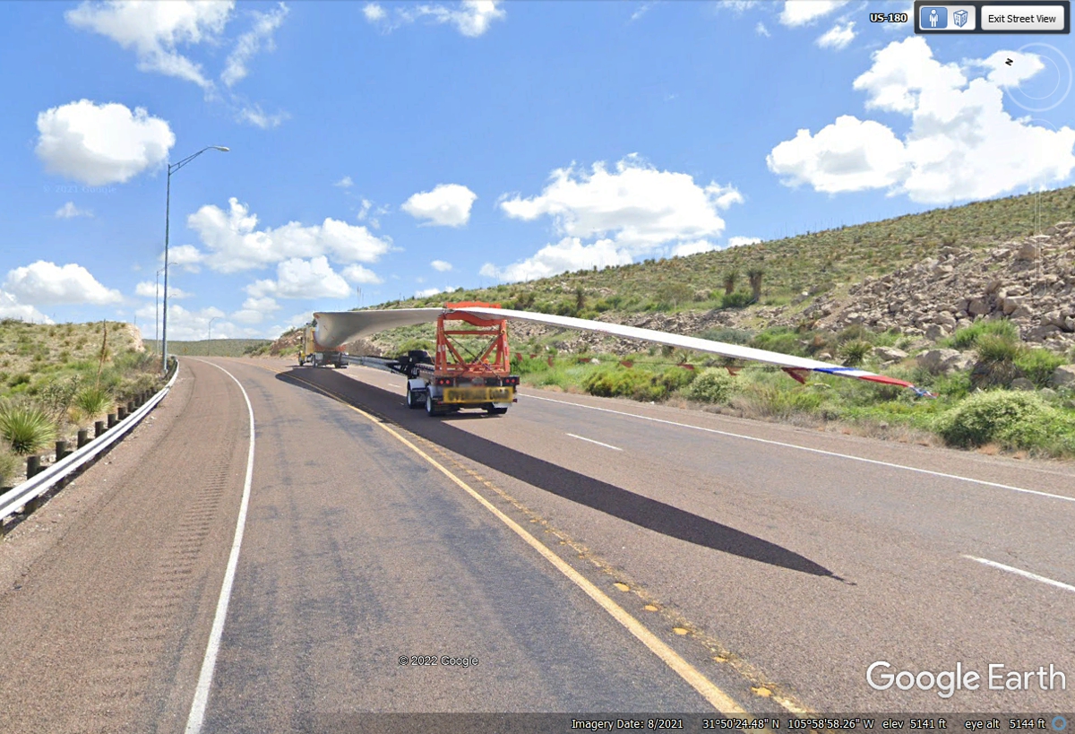
Look at the shadow from the rear of the blade. It shows a rod
extending backward with
a light and a ribbon waving in the wind behind the blade.
This is the area at the bottom of the hill seen above down to the level of the road
going to the El Paso area.
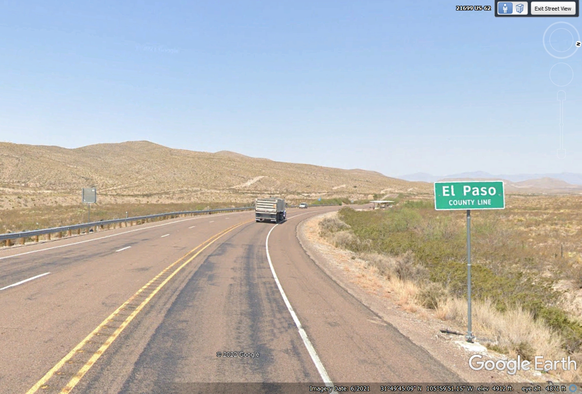
Here are some early signs of civilization east of the first towns
around El Paso on US 62. There is a single-phase power line and a fiber
optic cable on those utility poles.

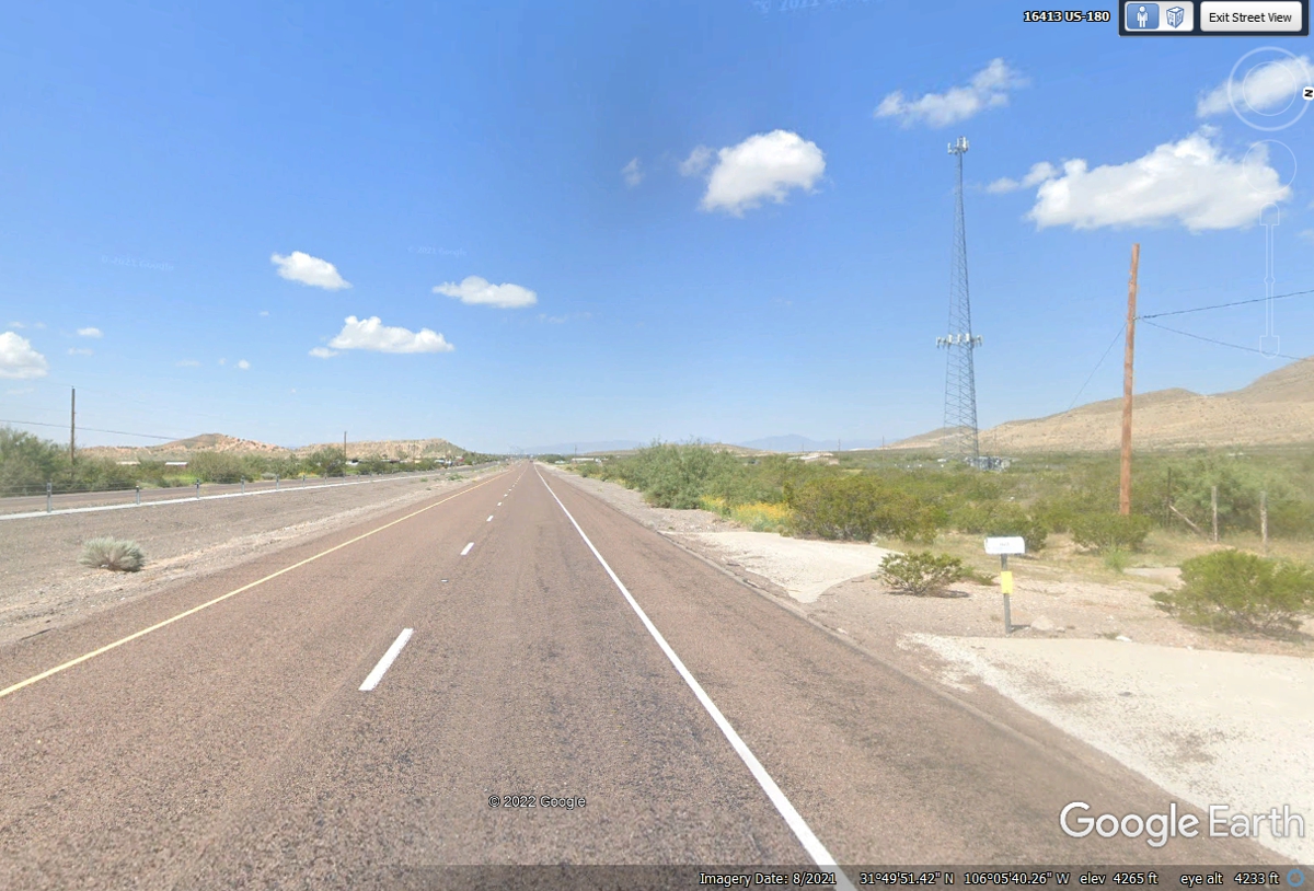
Here is another sign of civilization with a cell phone tower.
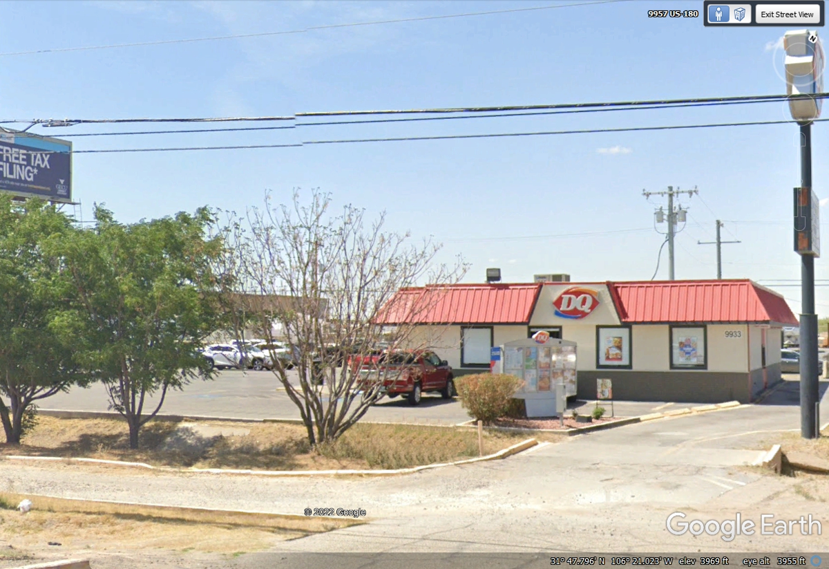
Linda asked to stop at this Dairy Queen on the East side of El Paso.
She ordered a favorite item of SIX chicken strips with country cream gravy at
the drive-through window.. I had a half-pound burger. As usual, we
consumed our meals in the parking lot hidden behind the trees.
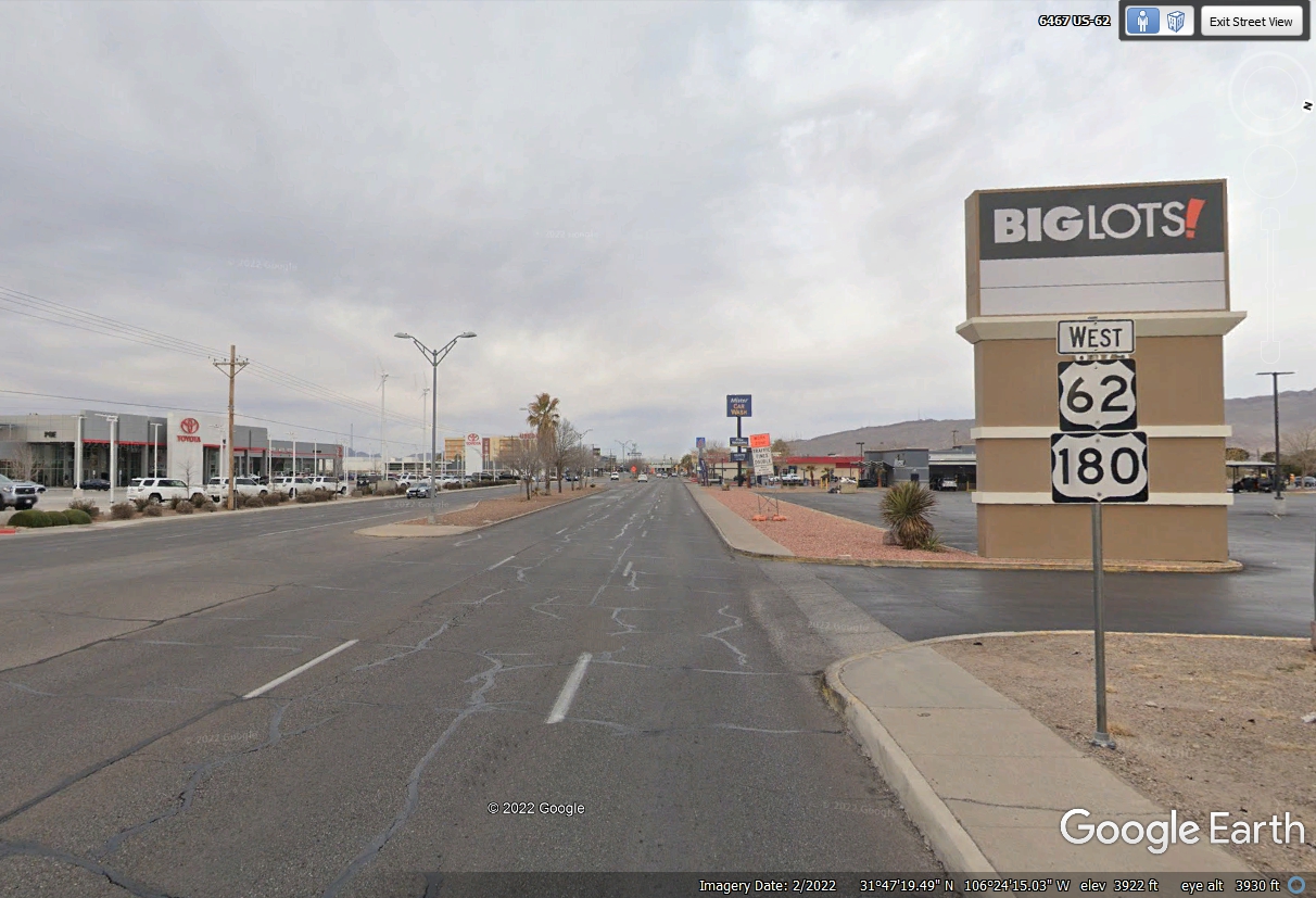
This area of the highway close to the city has car lots and stores as it approaches the
heart of the city heading west.
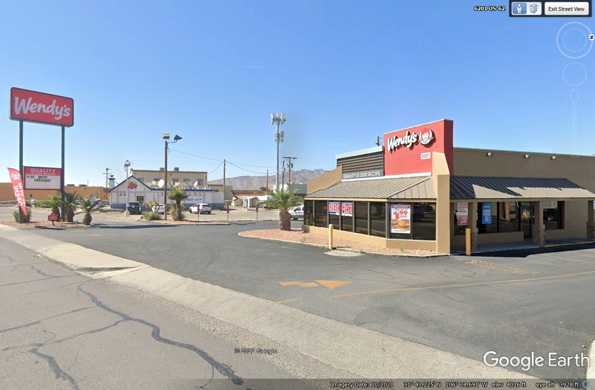
I planned for this Wendy's location in
El Paso, TX should be where we get our take-out lunch with our dog Chase.
Since we stopped at a Dairy Queen on the East side of town, this Wendy's was a
landmark before we turned to get on Interstate 10 West. We did not stop here.
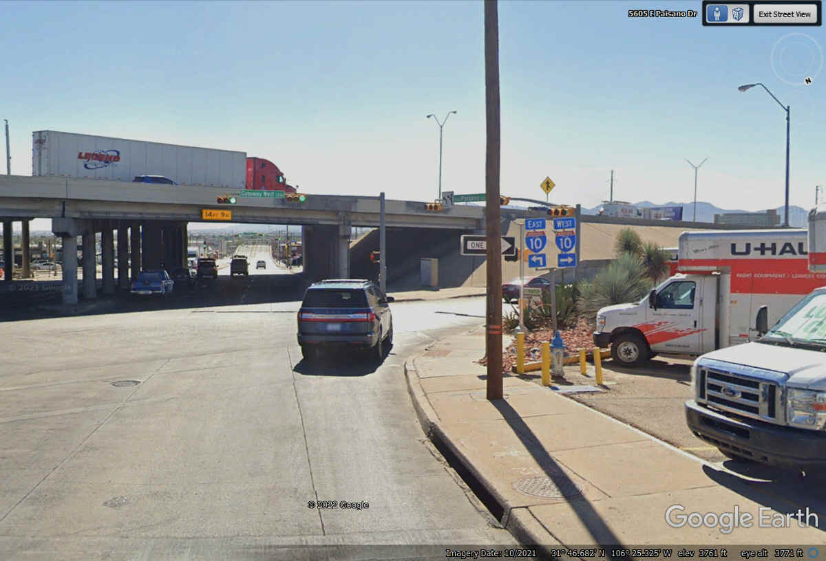
This is where US 62 and US 180 head over to join Interstate 10 to continue
westbound.
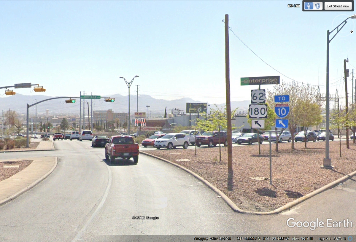
Interstate 10 can take us all the way to Phoenix, Arizona and intermediate
stops when we leave Texas. This location seen here is close to the border,
but not adjacent to it.
| NEW MEXICO and WESTWARD - PAGE10 | RETURN TO WESTERN TOUR INDEX PAGE |