May / June 2022 Vacation Day 4 · · PAGE 6.
May 26, 2022: This page continues west
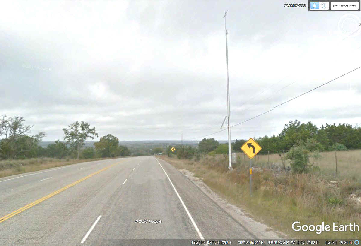
into the Hill Country of Texas on US 290. This hill top location is named
Honey Hill showing 2102 feet above sea level according to Google Earth. It is less than 10 miles west of
Fredericksburg. There are plenty of small trees out here since a number of
creeks are visible driving on US 290.
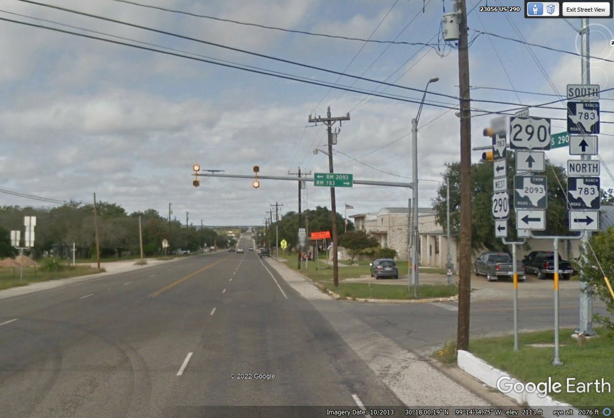
Harper, Texas is a small unincorporated place about 23 miles west of
Fredericksburg on US 290.
US 290 joins with Interstate 10 about 40 miles west of Fredericksburg.
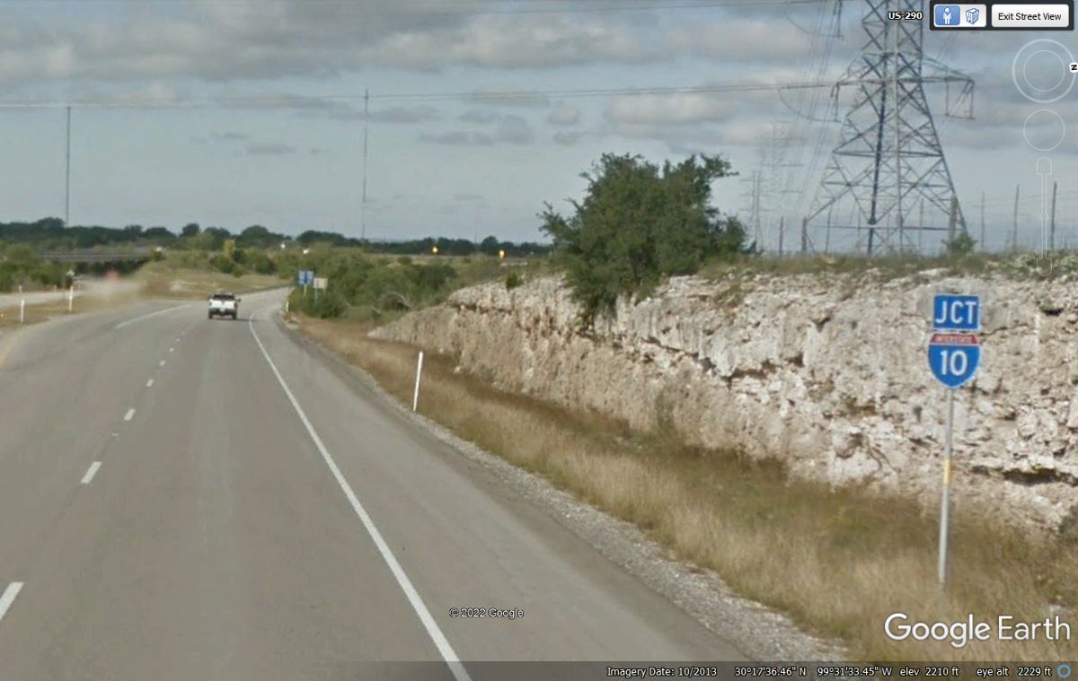
US 290 and Interstate 10 run together or parallel until they reach the
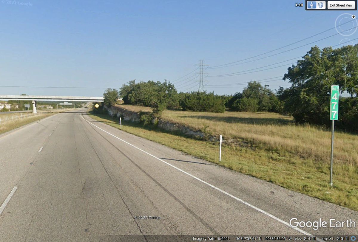
western end of Interstate 20. Since our goal today is to reach Carlsbad,
New Mexico, we will follow US 285 going northwest from Fort Stockton, Texas
about 216 miles from this mile marker 477. It is 477 miles to where
Interstate 10 enters New Mexico north of El Paso, TX. Our next planned
stop is for lunch at Ozona, Texas about 112 miles west from here.
There are times on the road when seeing the towns bypassed by the
interstate highways can provide scenic views and new places to have a meal break
from the boredom of the "BIG ROAD" the truckers travel.
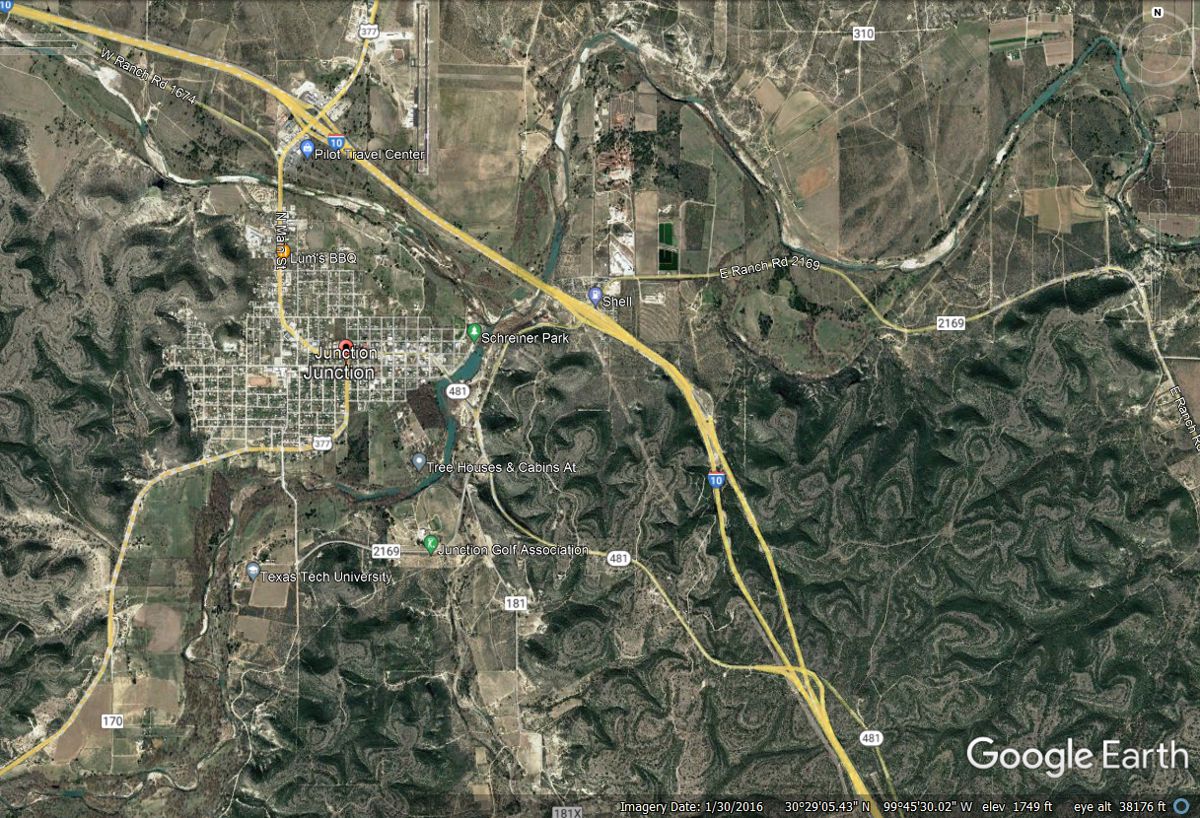
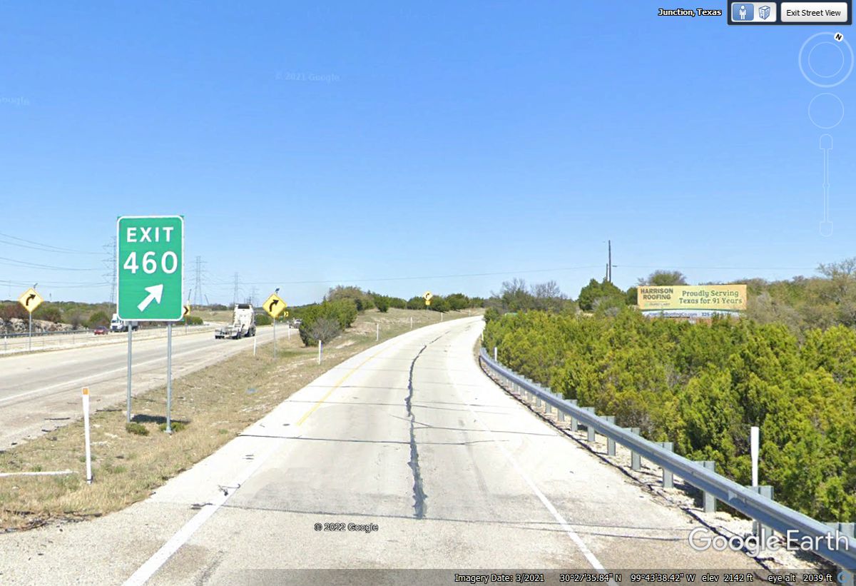
This exit will take us on a scenic route to the south side of the town of
Junction, Texas. WE DID NOT USE EXIT 460 when we passed this way on MAY
26, 2022.
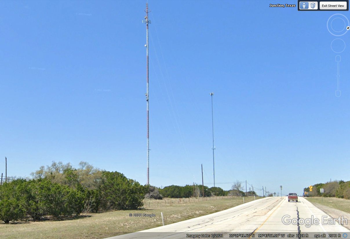
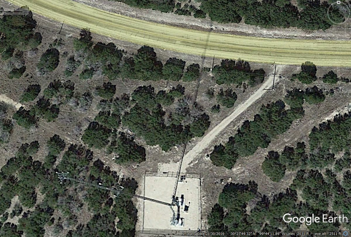
When I am looking at Google Earth aerial views and find a LONG SHADOW on
the ground, it is usually from a broadcast television tower as seen here.
This view of the tall tower is from the ramp coming from I-10 onto the
Loop 481 route. At the very top of this big tower is the actual television
transmitter antenna. There are several small terrestrial microwave dish antennas, and a cellular telephone antenna array to provide plenty of coverage
over this area along the interstate highway. The shorter tower is probably
for cell phone service. There is a road sign facing the other way in the
median near the red pickup truck. The speed limit sign on the right
shoulder of the road says 60 MPH.
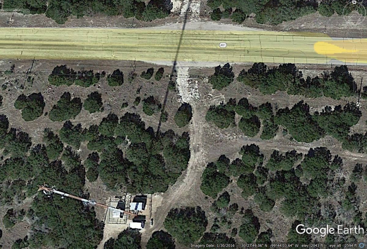
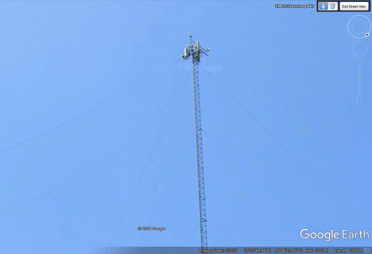
When I changed my view to continue on Loop 481, I found the second tall
antenna view with better detail of the top of that tower. I discovered SIX
antennas at the top similar to broadcast towers I have seen in the Miami/Fort
Lauderdale area. Each one of those six antennas could be FM radio or UHF
television antennas.
With all my years in the broadcast and CATV industry, I see these tall
towers and wonder what is up there. Here is a zoom close up from Google
Earth of the second tower.
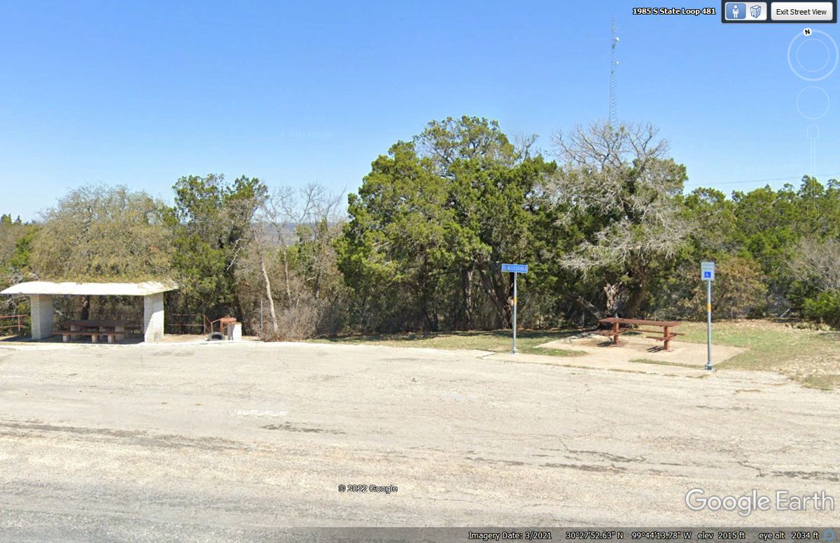
I was looking at the road after capturing the tower images above when I
noticed this roadside stop with picnic tables. The table on the right is
wheel chair accessible. There is another communications tower north of
here along the ridge line.
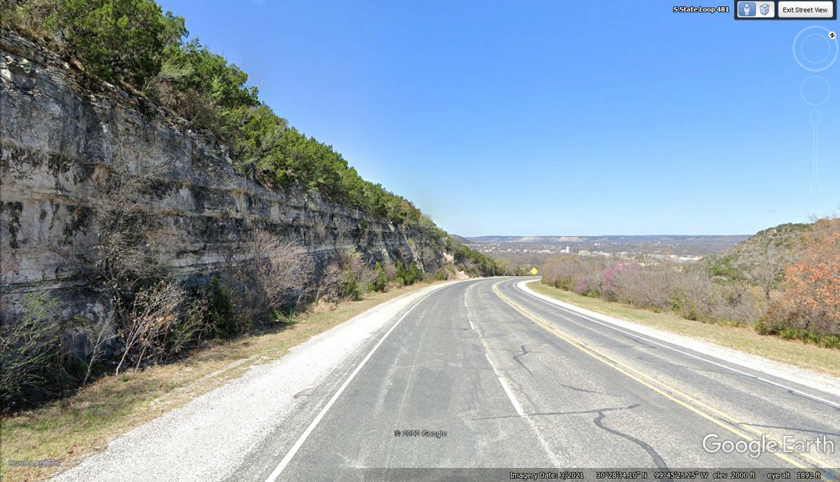
Coming down from the high ground reveals this rock face on the west side
of the roadway, and a view of the valley ahead where the town of Junction is
located.
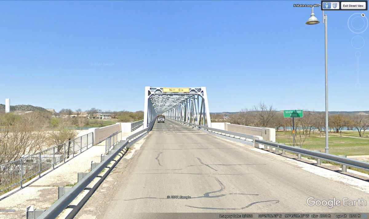
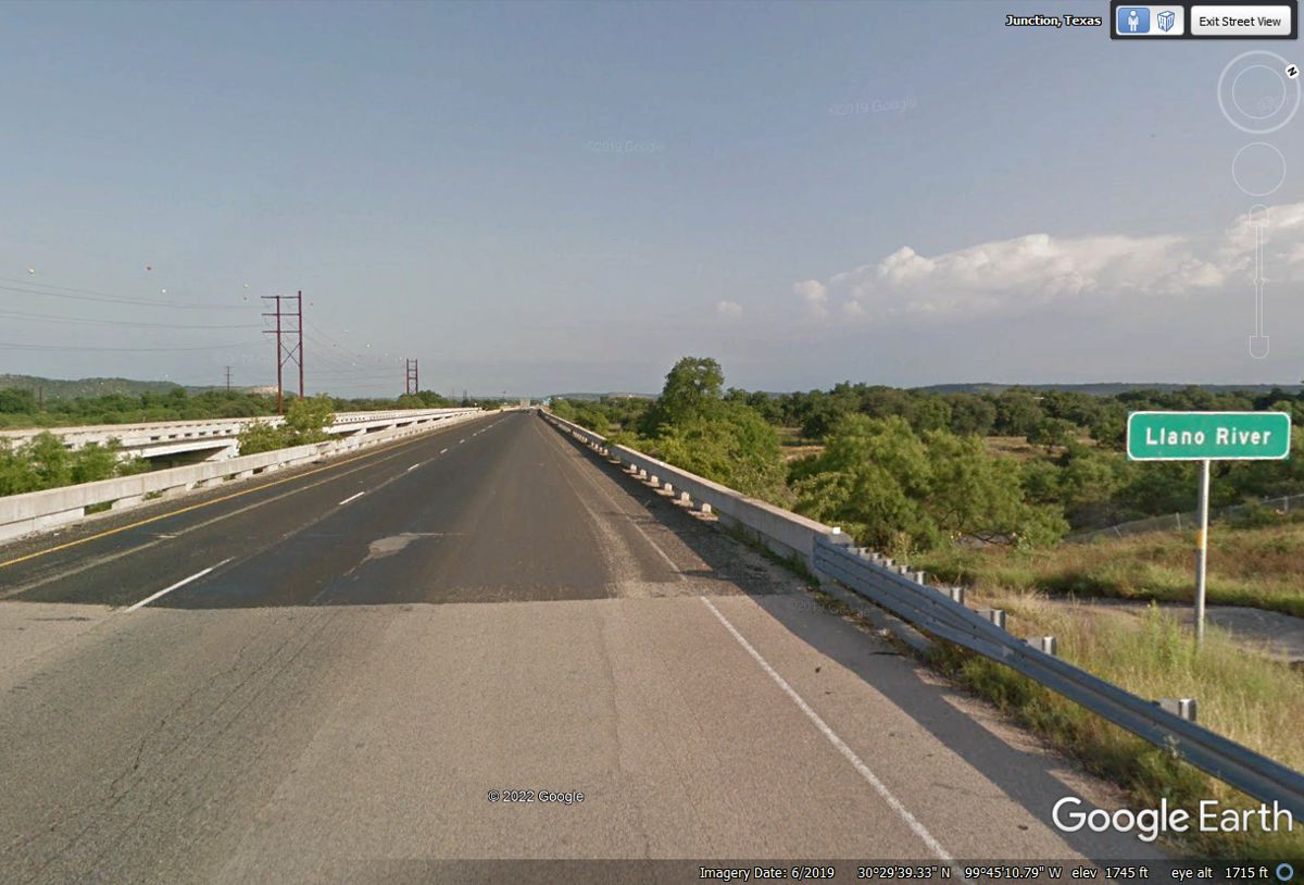
Here is the first thing you see when reaching the valley floor. This
long truss bridge on Loop route 481 crosses the South Llano River which is the
south city limits of the town of Junction, Texas. The shadow on the sign
comes from the street light. Google Earth indicates the elevation here at
1,772 feet above sea level. The elevation at the TV towers was 2,043 feet.
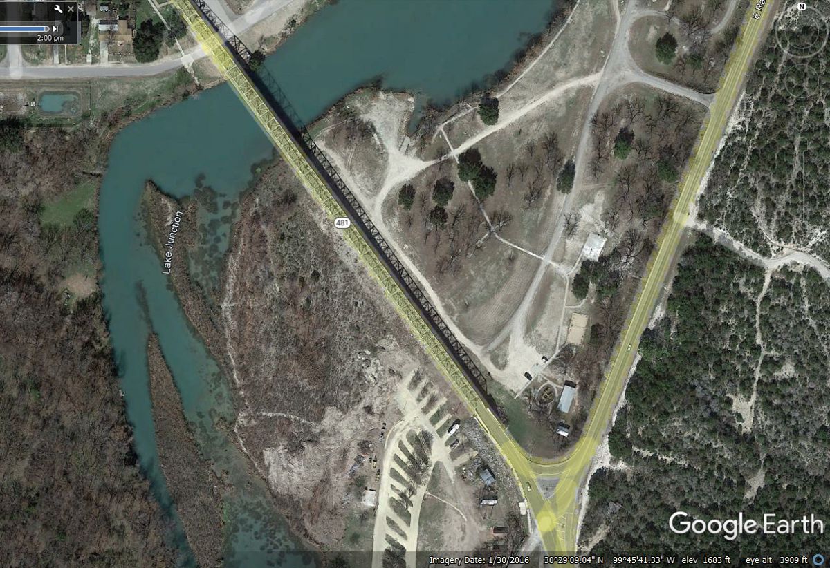
Here is an aerial view of the bridge showing the shadow of the truss beams
and the length of the bridge to stay above the flood plain on the south side of
the river.
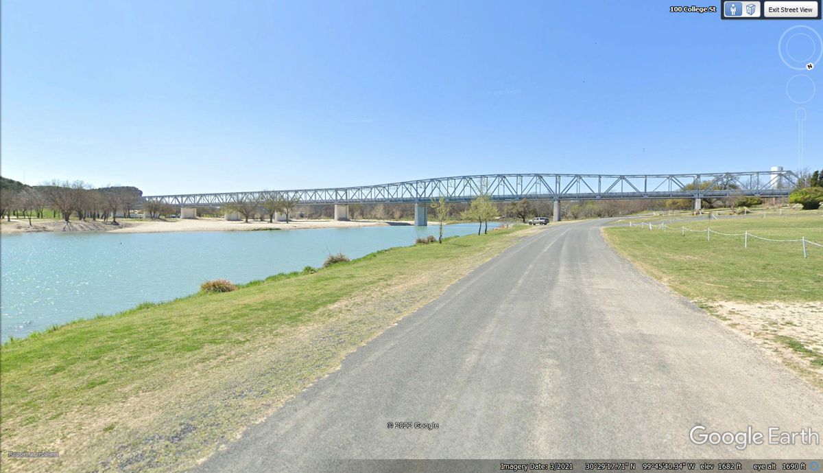
Here is the view of the truss bridge from the north shore of the
river. The white sand on the other side of the river is the flood plain I
mentioned earlier.
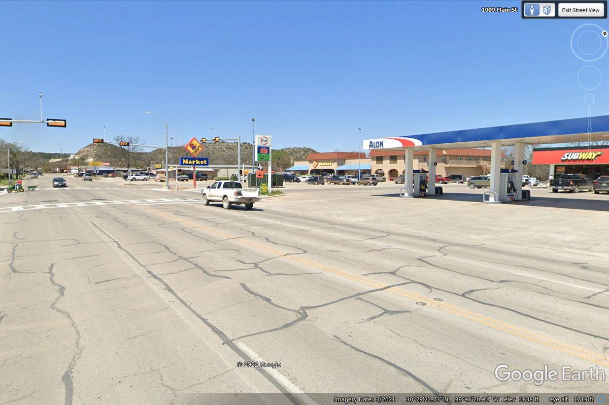
This is the intersection designated as the center of the town of Junction,
Texas. The Subway would be a good source for takeout food. We did not
drive through the town when we passed this way on May 26, 2022.
Taking I-10 direct to Junction reveals the way the interstate highway was
lowered to give a more leveled roadway for the heavy trucks to climb from the
river valley to the hill country average elevation.. A lot of dynamite and
rock hauling put the road below average ground level where that change is
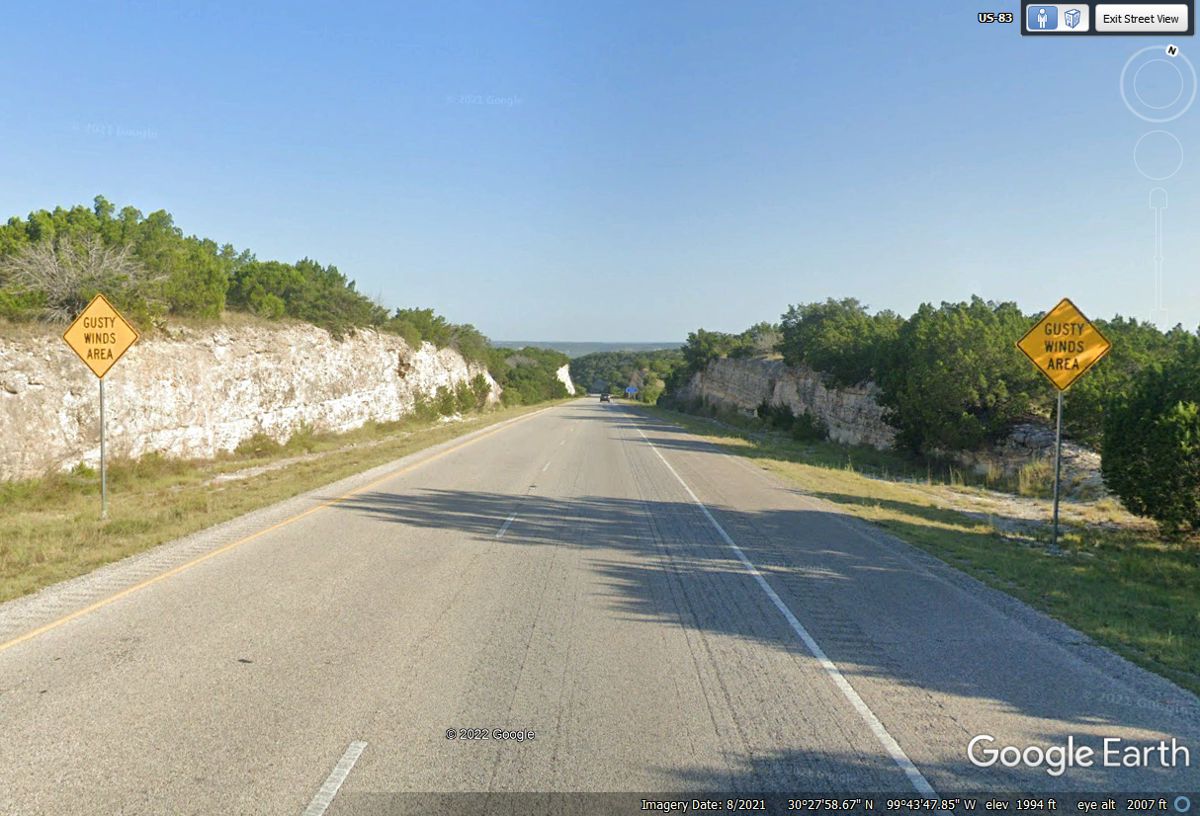
revealed in this image below. The gusty winds are in areas where the road
is not in between the average terrain hills. THIS IS THE PATH WE USED when
we passed this way on Interstate 10 passing by the town of Junction, Texas.
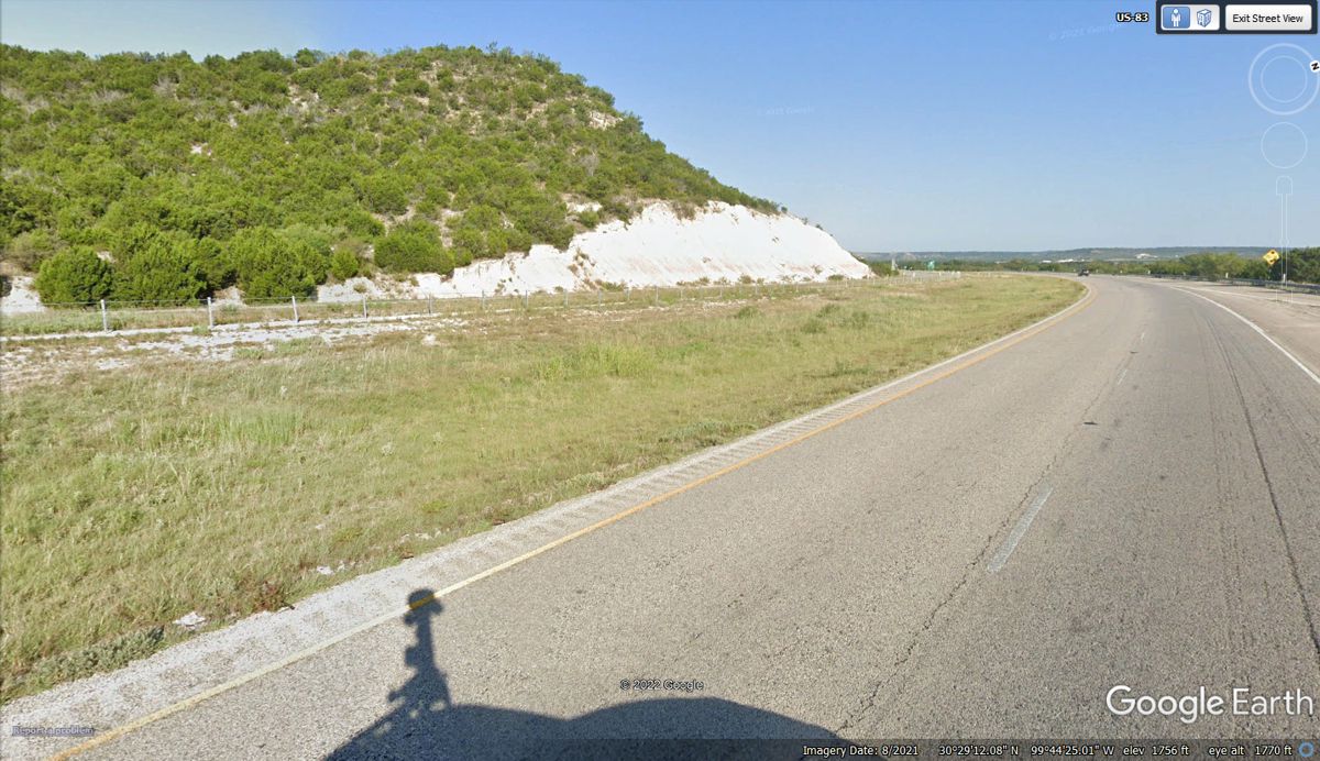
This hill is at the north end of a ridgeline from the tall towers. Around
this corner is a straight road down to the Llano River near Junction, TX.
The shadow on the road at the bottom of this image is showing the camera mast
mounted on the Google Earth vehicle collecting these images. The camera
lenses are in the ball at the top of the mast.
We have seen a lot about the hill country, so lets get going westbound.
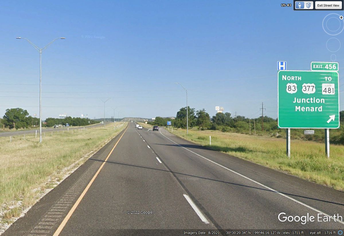
Here is the big exit for the town of Junction, Texas with US 83 heading north and US 377 with
access to the town on the south side of the Interstate. There are a few
good motels here and McDonald's of course.
McDonald's is not on the road sign, but the golden arches are plainly
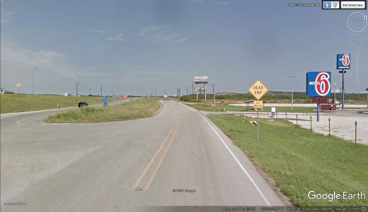
visible ahead. There is a Motel 6 on the north side of the intersection
but not seen in this image.
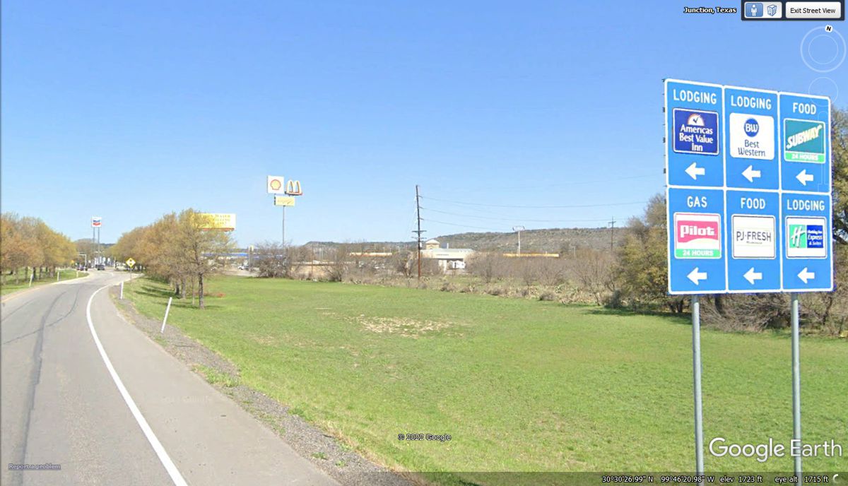
Here are the signs for the three motels on the south side of this
intersection with I-10 and US 290. A Sonic Drive-In is south of this sign
location.
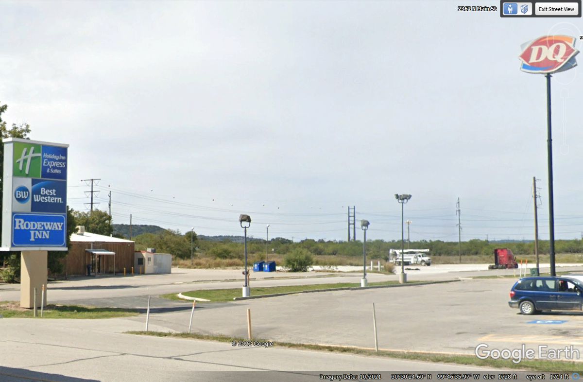
The entry to access I-10 westbound is a two-way street that continues for 3.5 miles. Motel 6
is easy access from the street. The ramp to I-10
is clearly marked at the LEFT side of this image.
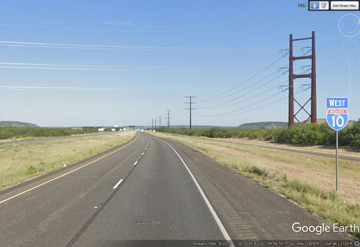
US 290 is running with I-10 although there are no signs except I-10.
| CENTRAL TEXAS and WESTWARD - PAGE7 | RETURN TO WESTERN TOUR INDEX PAGE |