Heading South in Georgia and Florida · · PAGE 40.
July 28, 2019: It is
SUNDAY after lunch and a visit with Linda's daughter in Atlanta. Now we
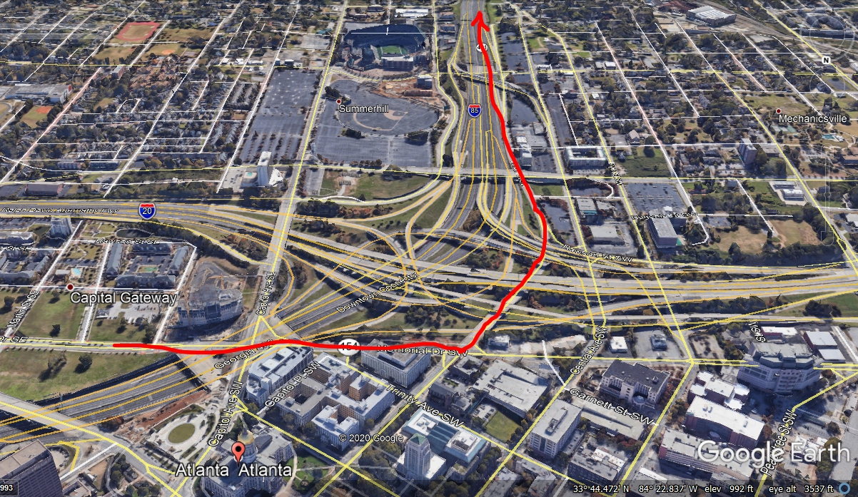
get to see what traffic problems lay ahead of us today. This aerial image
looking south shows the crossing and junctions of three interstate highways just
south of the State Capitol and near where the first Atlanta Braves Stadium was
located. A new stadium was built to accommodate the 1996 Olympic
Games. The old stadium location is painted on one of the parking lots for
the new stadium. I-75 and I-85 joined north of the main business district
and I-20 cuts across the middle of the city going East and West and connects to
I-75 and I-85 as seen below.
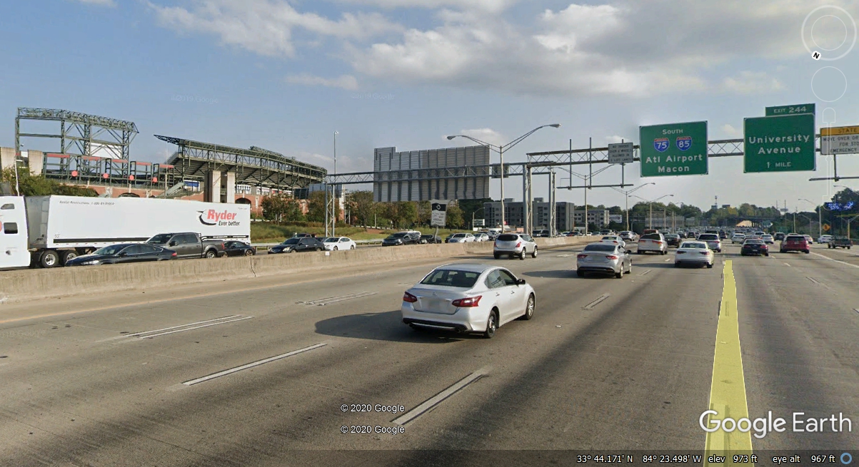
I-75 and I-85 pass the Olympic Stadium going south as seen here at the
left side of this image.
Southbound traffic starts to open up here, while northbound traffic can get
heavy with some traffic getting on I-20 going East and West. The majority
of northbound traffic here is following I-75 and I-85 via the downtown connector
around the big curve and up past Georgia Tech as seen on page 39 from earlier
today.
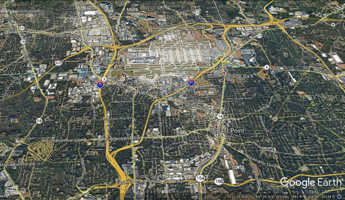
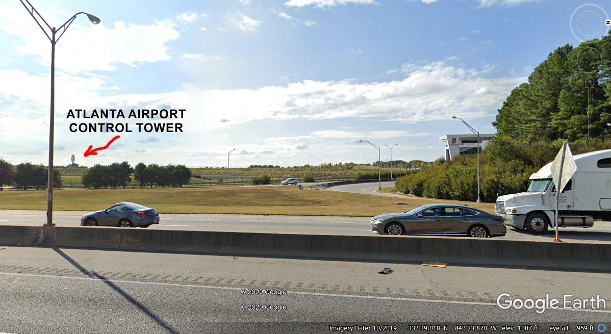
Here is another aerial view of the south side of Atlanta and the world's
busiest airport. There are FIVE parallel runways with their adjacent
taxiways. There are SIX terminal buildings connected by underground
subway trains. The intersection where I-75 and I-85 split to pass by the
airport on the East and West sides is evident in the bottom of this image.
That 63-mile loop around the city known as I-285 is seen at the right side of the
image without a route number. I-85 exits southwest near the top right
corner of the image at the same intersection where I-285 turns East and passes
on the south side of the airport. When the southernmost runway was built,
the runway and the associated taxiway were built on OVERPASSES across the
interstate highway. Over at the left of this image you can see a RED and
BLUE interstate shield covered with a state highway symbol 407, which is the
state of Georgia route number for Interstate 285. We are following I-75
down past the East side of the Atlanta Airport near the little town of Mountain
View.
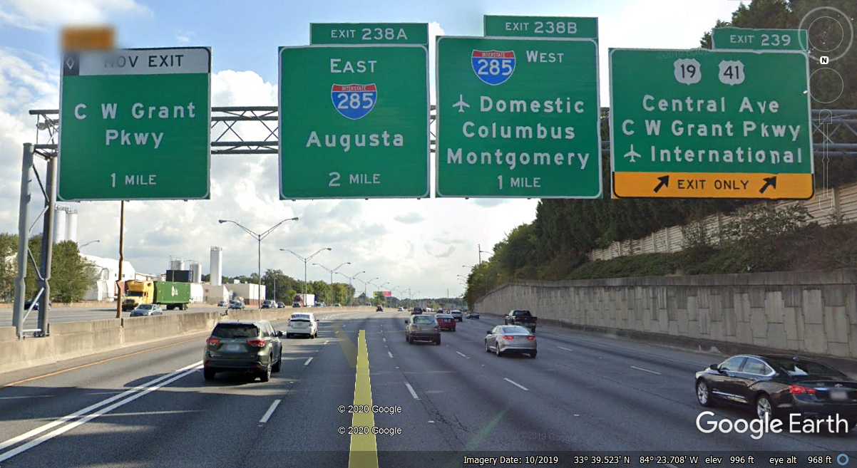
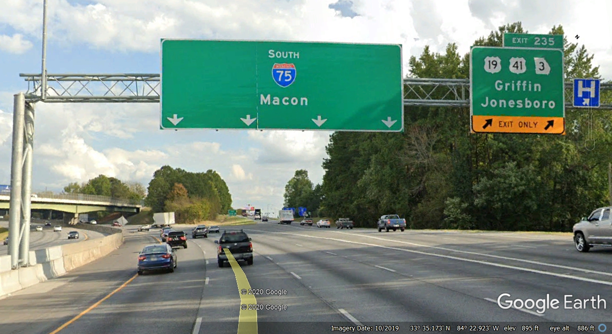
The southbound traffic on I-75 passes this signage for the old US 41 and
US 19 highways going south toward Griffin, Georgia beyond I-285. The
westbound I-285 route is another way to the airport terminal.
Back in the 1960's there was a Ford Motor Company assembly plant located
here just below the US 41 and US 19 routes adjacent to the NEW I-75. The
airport was much smaller then with the only passenger terminal on the north side
of the runways at that time.
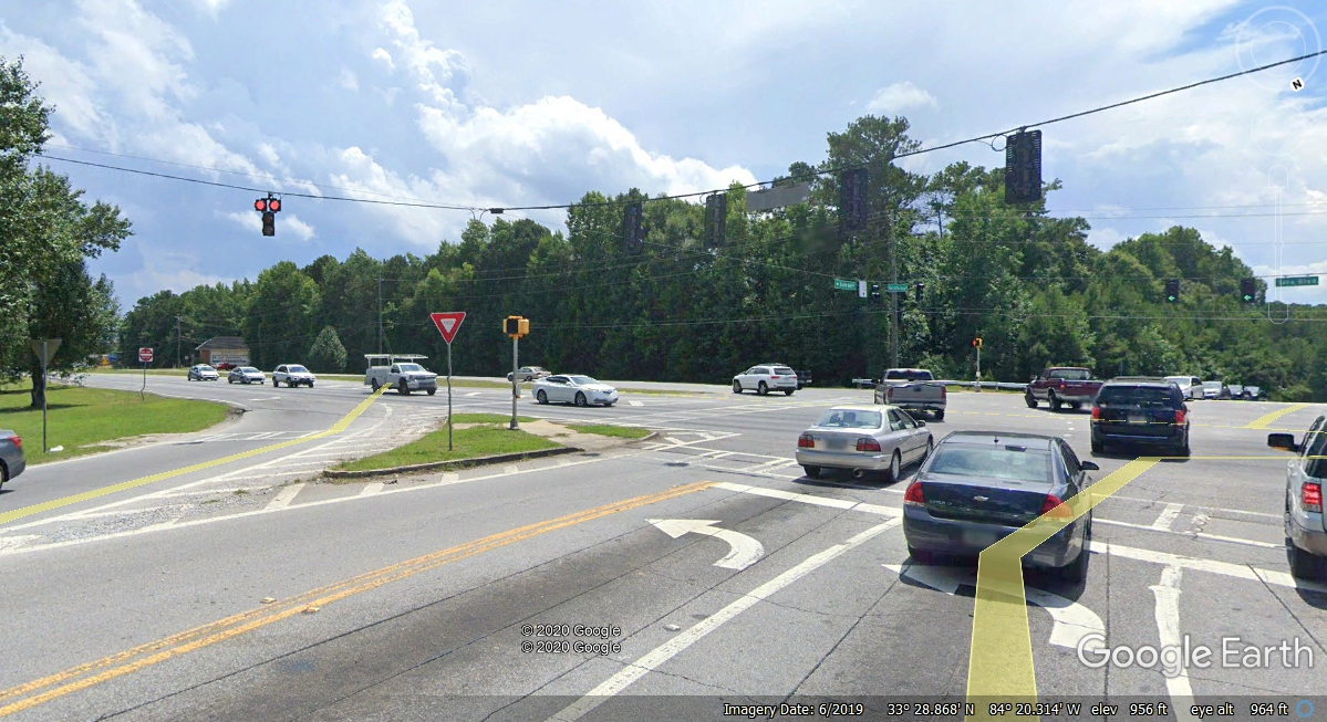
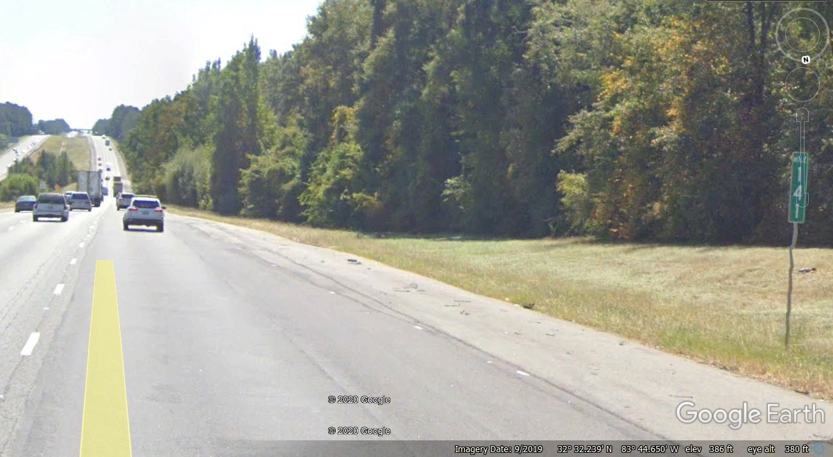
This is an exit I think about every time I pass this way. Staying on
I-75 for another 7 miles could put you into a big traffic jam. US 41 and
US 19 is a local four-lane highway with cross roads and traffic lights for about
10 miles that can be slow. After that, the four-lane highway goes 42 miles
from this exit to the south side of the town of Barnesville, Georgia.
Beyond that point US 341 continues down to cross I-75 at the town of Perry,
Georgia. It is a more scenic route in some areas, and there are a couple
of good restaurants in the first 10 miles south of here on US 41.
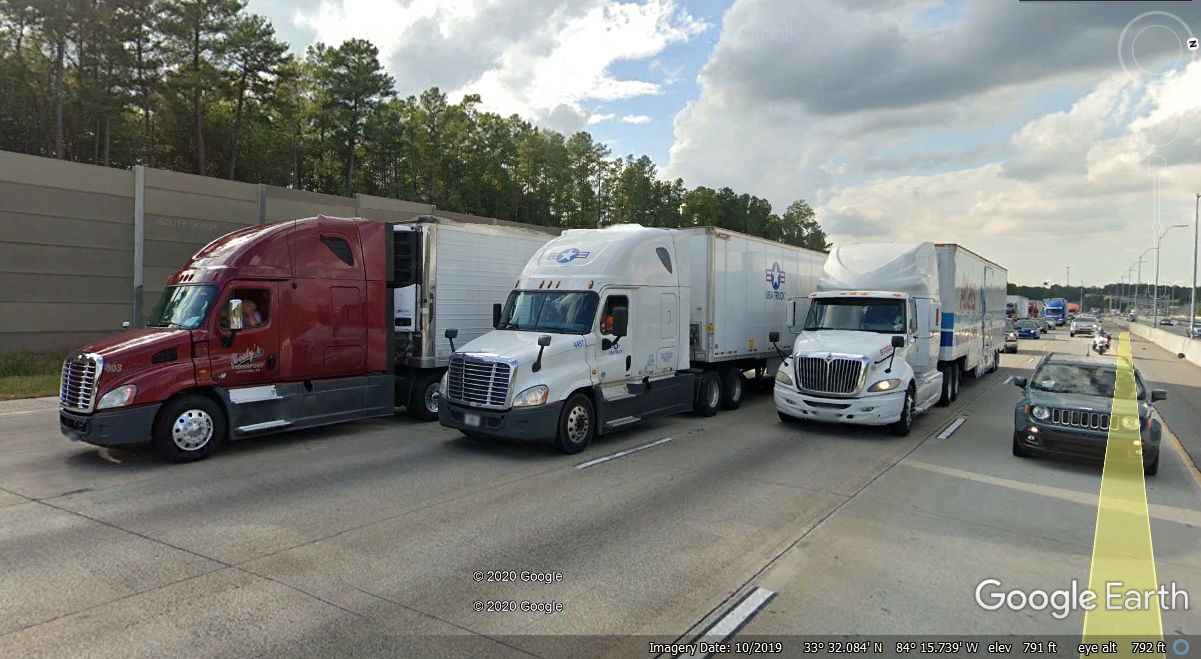
My usual concern with heavy traffic came true on I-75 as we reached the
connection of I-675 to I-75 southeast of Atlanta. We got into slow traffic
just before the merge and for about five miles south of there. There are truck terminals in the southeast parts of Atlanta.
Trucks from I-285 from the East side of the city are merging here from FIVE lanes down
to FOUR lanes. I rarely see traffic flowing easily here unless it is late
at night.
When I
reached exit 225, we were on a hill and I could see traffic ahead that confirmed
I needed to get off I-75. The southbound I-75 had been reduced to three
lanes and it got slow enough I decided to get off here and head west to US 41 to
go south completely away from I-75 and all the truck traffic. I am amazed
how Google Earth has used a number of satellite images that do not contain
traffic, or they have touched up the images to show empty roads. I turned right
at the end of this ramp on to Hudson Bridge Road. Over the years I have
passed this location at multiple times of day and it is always a busy place.
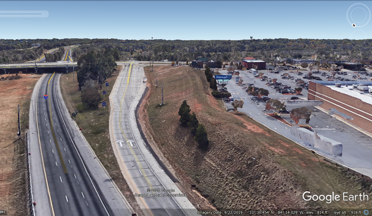
I went west on some local roads until I connected to the US 41 four-lane
highway going south to Griffin and Barnesville, Georgia.
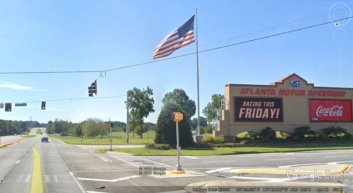
Once each year there is a famous NASCAR 500-mile race held at the Atlanta
Motor Speedway on US 41 near Hampton, Georgia here with all
big-name pro race car drivers .
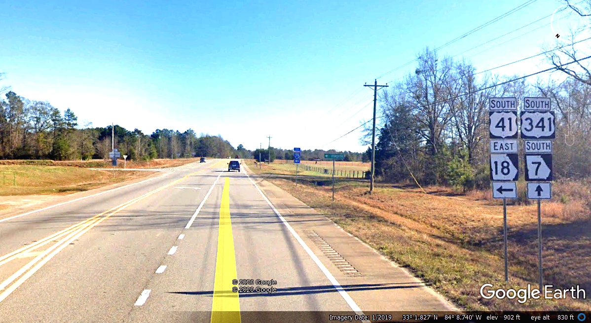
About 30 miles south of the raceway and below Griffin, Georgia and
Barnesville is where US 41 heads East toward Macon, Georgia. The four-lane
highway ended about 2 miles north of this intersection. I
continued south on US 341 two-lane until I got to Fort Valley, Georgia.
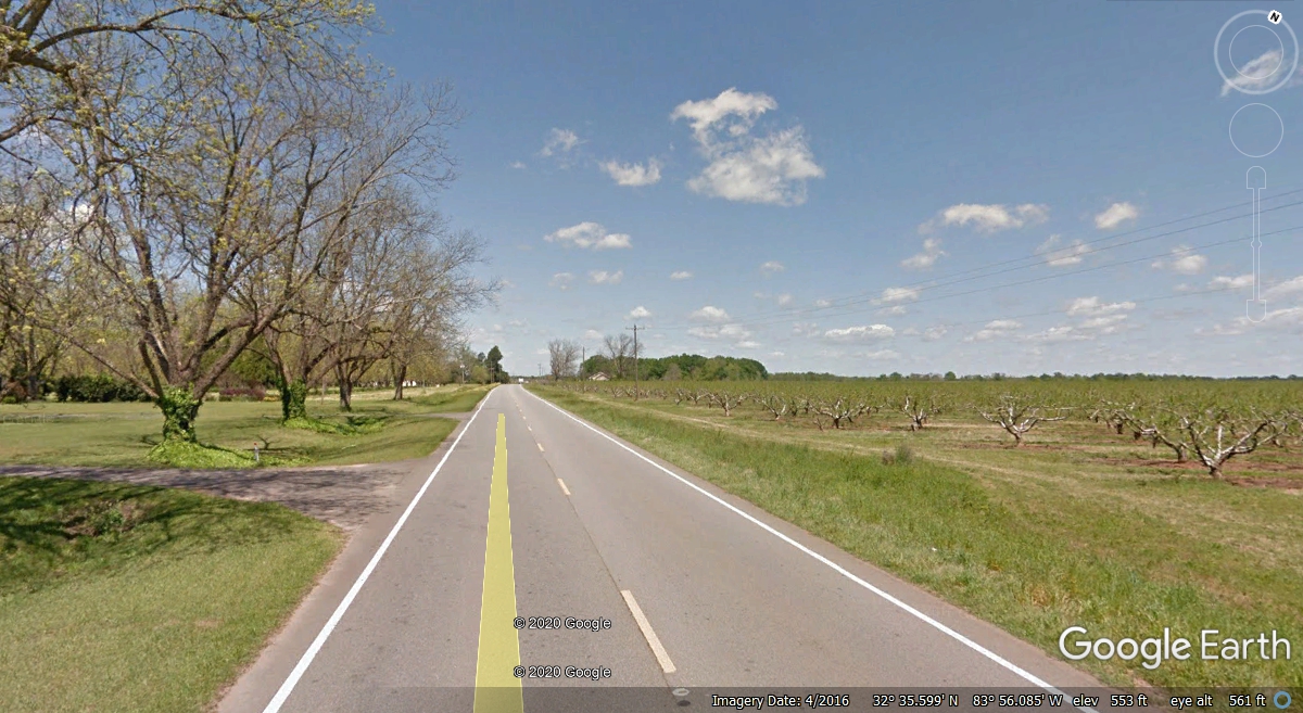
This highway has plenty of PEACH TREE groves, and Pecan groves. That is
the area that made Georgia "The Peach State" as seen on their license
plates.
Just north of Fort Valley on US 341 you will find some areas with TALL
Pecan trees on one side of the road, and short PEACH trees on the other side of
the road.
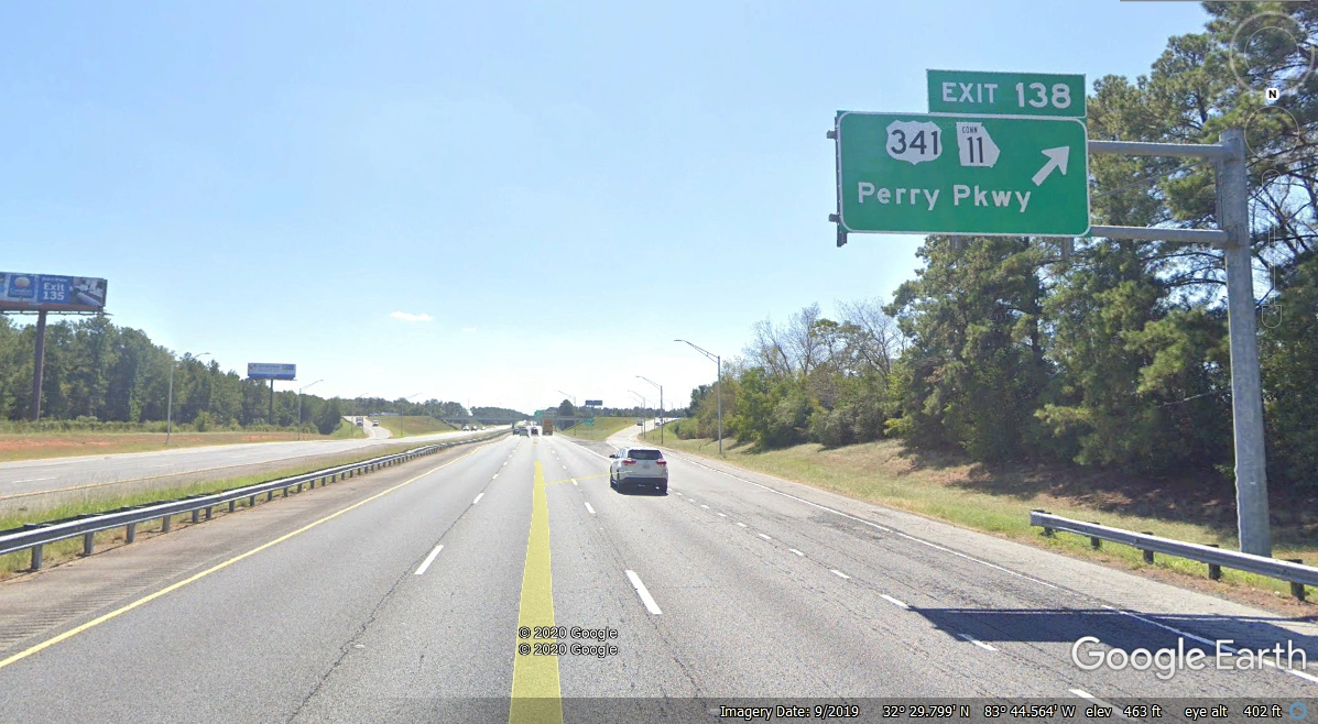
From Fort Valley I headed East on Georgia route 96 to get on I-75 and found another traffic jam between Exits 142 and
138. The Google Camera car drove down this part of I-75 in September
2019. When we got here on Sunday, July 28, 2019 - - THIS was a three-lane
parking lot moving very slowly.
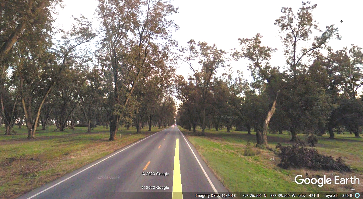
I took the US 341 bypass around Perry down to Hawkinsville.
About 2 miles past where the bypass connects to US 341 going to
Hawkinsville, we went through a grove of Pecan Trees that covered the highway.
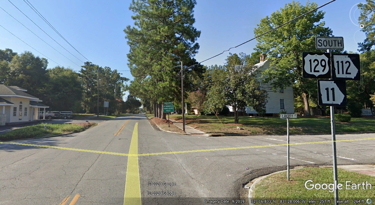
US 341 took us to Hawkinsville, then
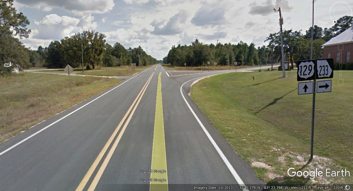
south on US 129 about 20 miles to Georgia route 233 then south on GA route
112. I love these small towns in central Georgia.
Leaving US 129 on Georgia route 233, then south on GA route 112 south to
US 280 west.
This aerial view of Georgia Route 233 reveals plenty of farm land and not
much traffic. We did not see much traffic when we went this way back to
I-75 southbound. 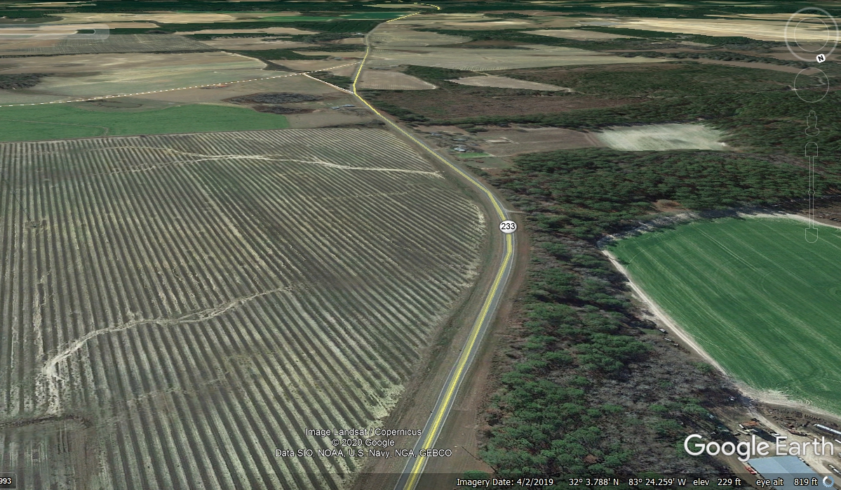
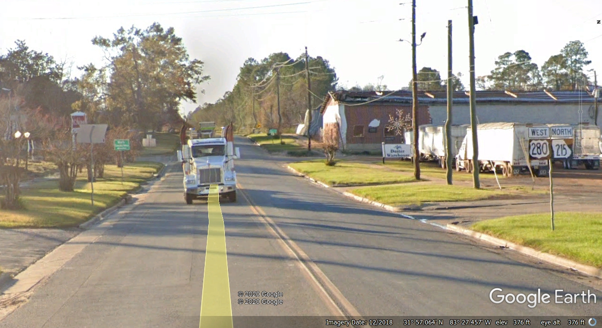
US 280 is an alternate route through small towns from Savannah to
Columbus, Georgia. US 80 goes through bigger towns north of here like
Dublin and Macon, GA. This is Rochelle, Georgia, a farm town for
sure. At US 280, we went west to the little town of Pitts,
Georgia, then south on Georgia route 159 south to join I-75 south Exit 84 at Ashburn, Georgia.
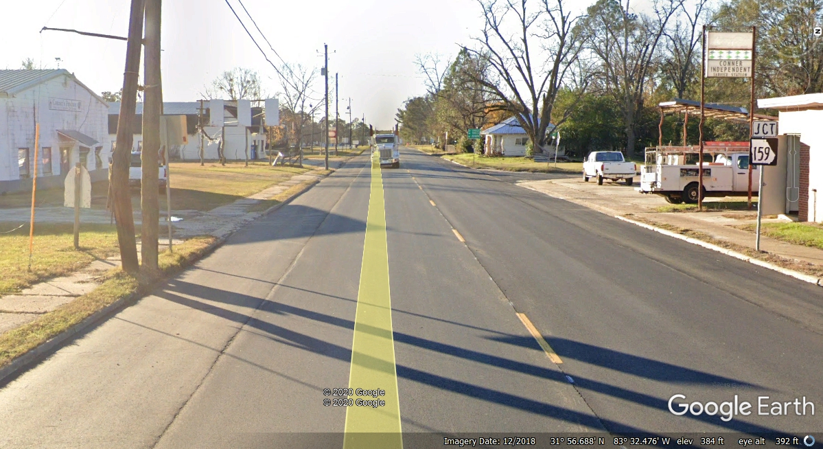
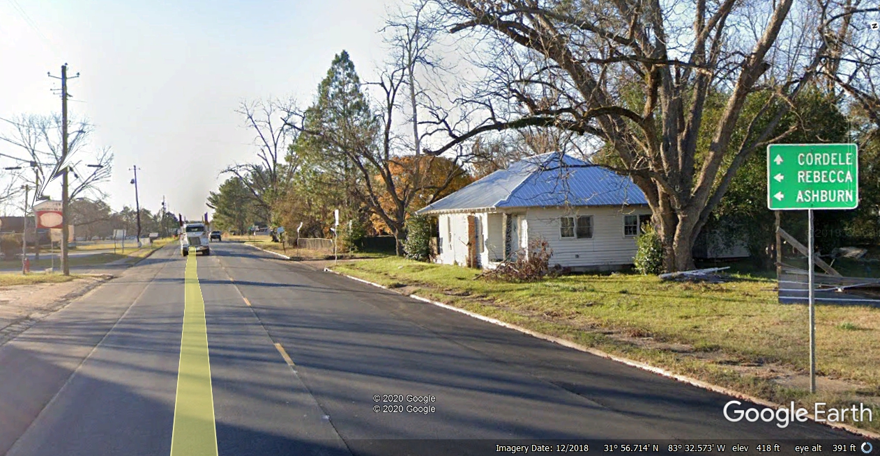
Here is the small town of Pitts, Georgia. When I was in college in
the late 1960's, there was a guy in my electrical engineering classes whose
middle name was Pitts. He preferred the name "Pitts" over his
first name: "Eugene." The intersection for Georgia route 159 is
in the block just past the green sign ahead.
Ashburn is our next town located on Interstate 75. I am showing
these images from East to West as we are traveling in that direction on July 28,
2019. The Google Earth camera vehicle drove this route from West to
East. That is the reason you see the same truck in these images as it
follows the Google Vehicle.
We finally get back to I-75 Exit 84 via Georgia Route 159 through more
farm land all the way to the Ashburn exit. This view is looking south on a
normal traffic day in this part of Georgia 84 miles north of the Florida state
line.
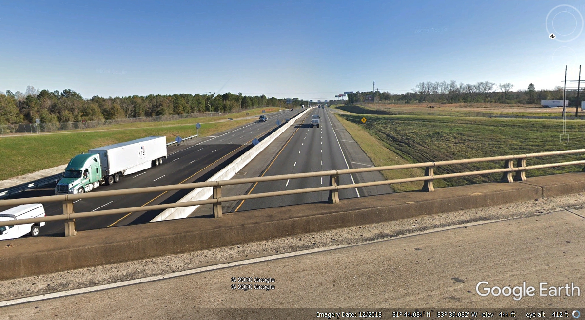
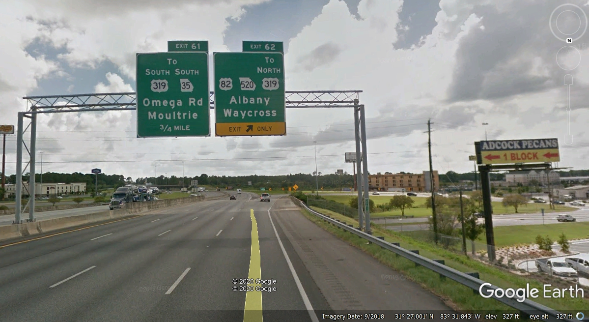
Our next stop was only 22 miles south of where we got back on I-75 at exit
82. Linda wanted to go to Adcock Pecans near Exit 62 to buy a couple of bags of shelled
pecans.
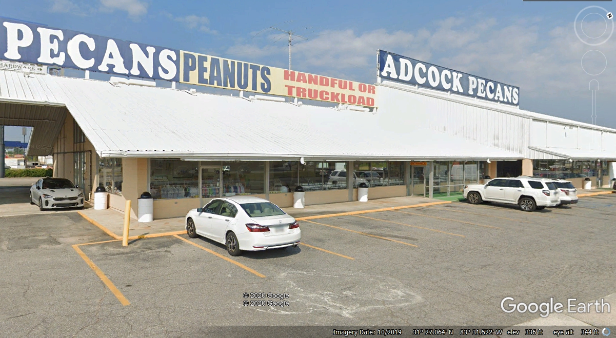
Here is the "famous" Adcock Pecans" tourist attraction and
rest stop in Tifton, Georgia. We stopped here at 5:55 PM today. We
got out of here at 6:11 PM after a quick break and with the bags of pecans
tucked away in the car.
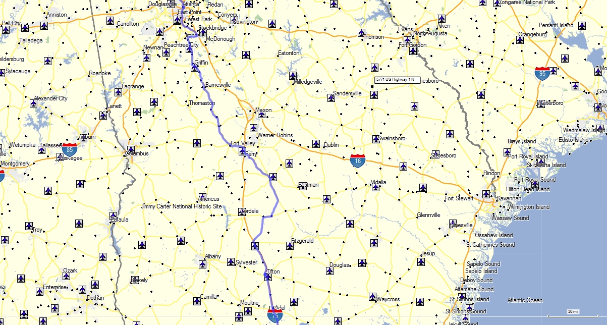
Here is the BLUE GPS ground track showing how we dodged some traffic jams on
I-75 at two different locations.
Our next stop was for dinner in Valdosta at this Longhorn Steakhouse at
6:52 PM with our departure at 8:15 PM. This startup data point was the
last one for the trip as the coaxial cable at the input to the GPS finally lost
contact with the GPS antenna. 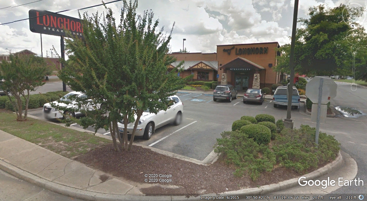
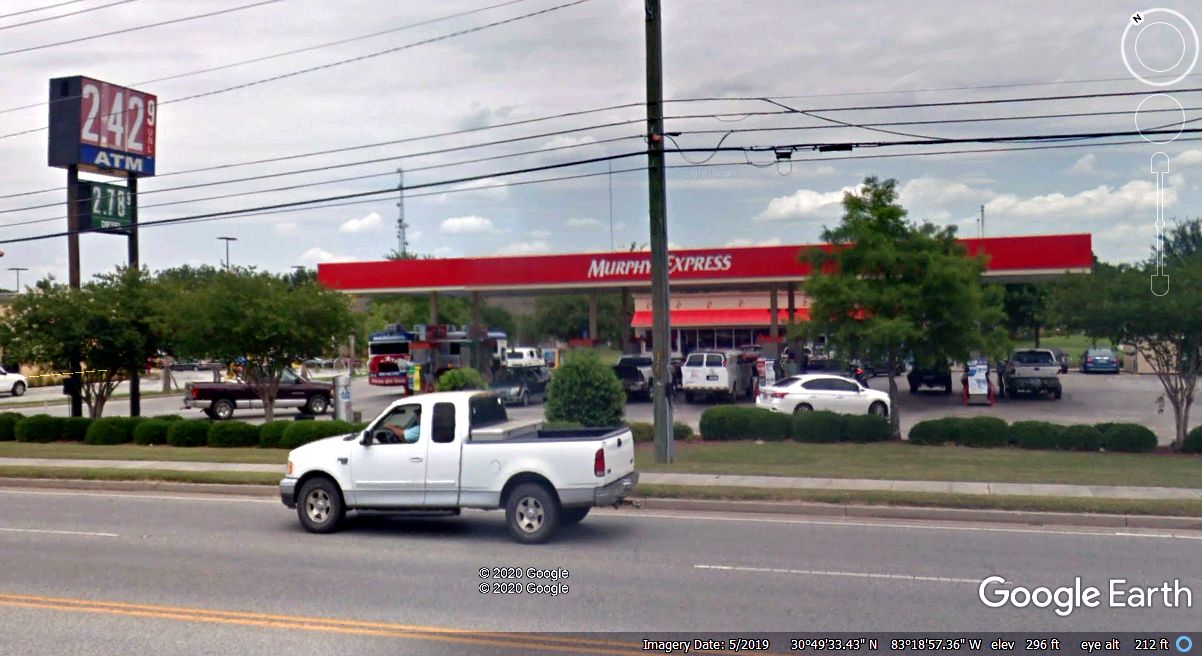
We got the last fuel for the trip at the same Murphy Oil station we used
going north when we started our trip.
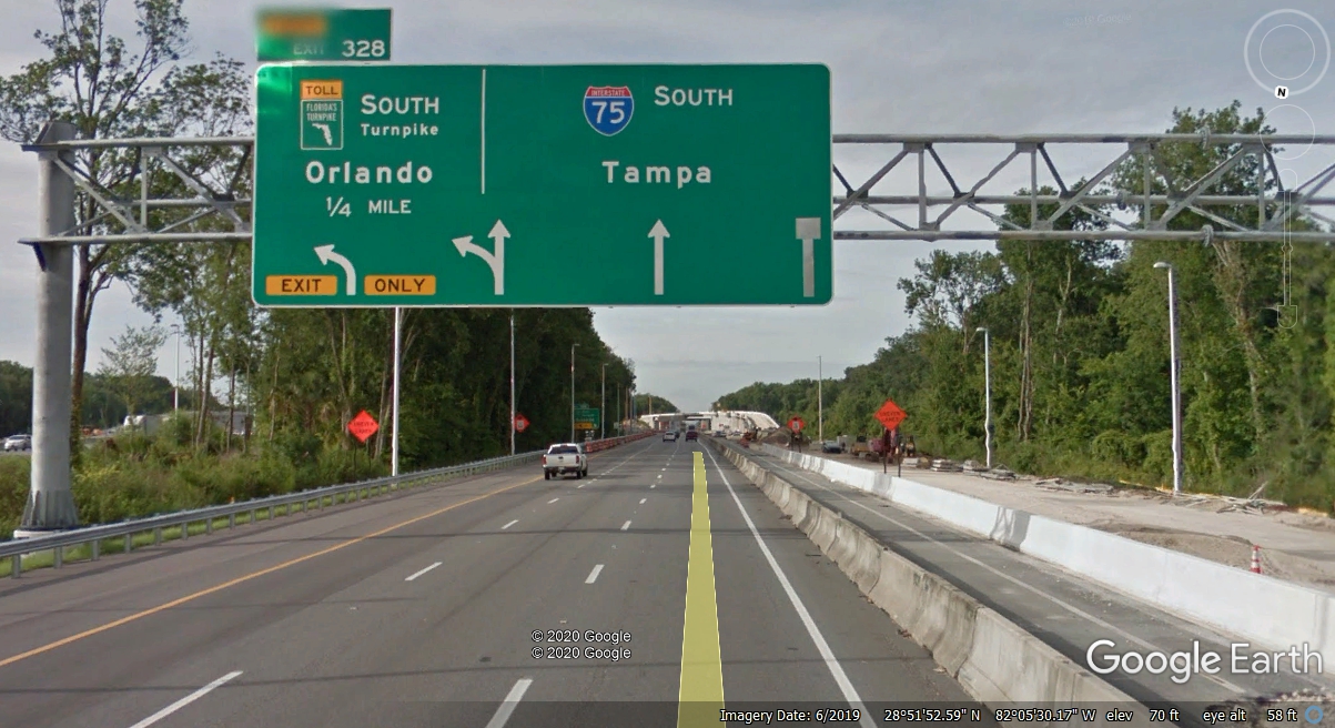
The distance from the gas station in Valdosta to home in Kissimmee, Florida
is 228 miles. It was dark when we got off I-75 and on the Florida
Turnpike.
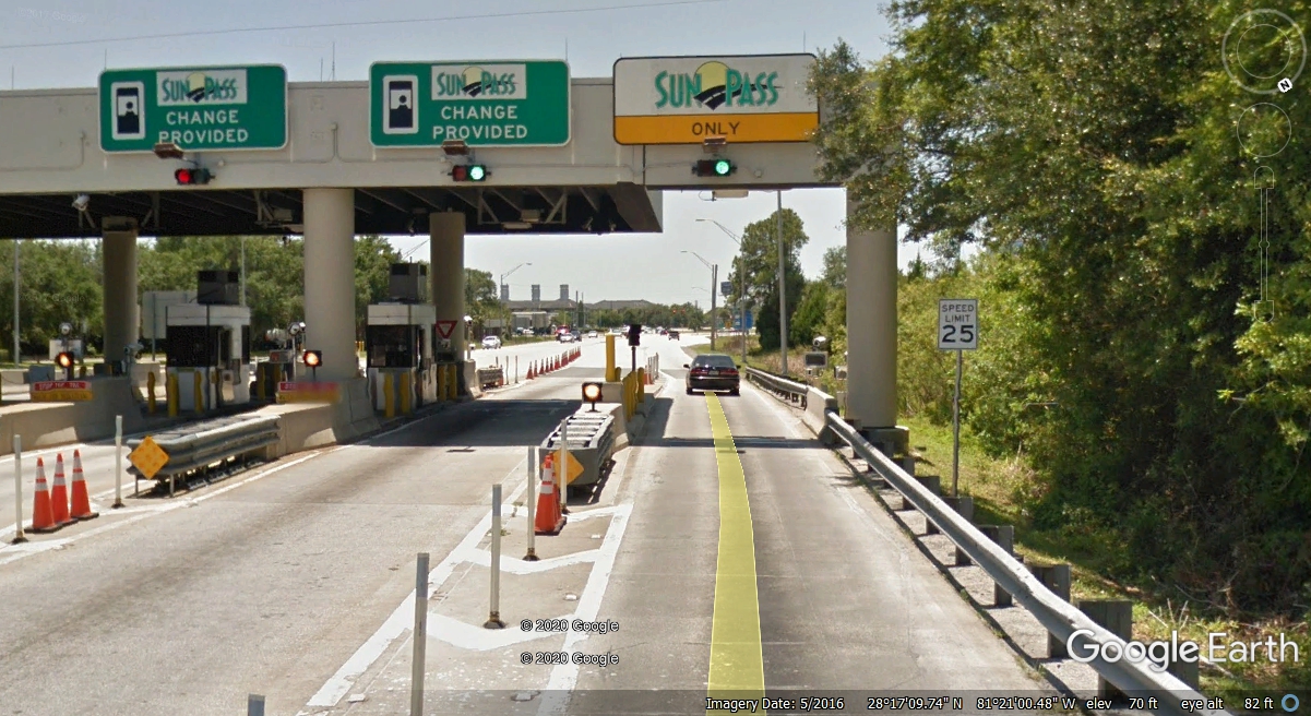
Since my GPS was out of service, I looked at Linda's Sunpass
toll road account and found we got off the Florida Turnpike at 11:34 PM.
We got home just after 11:38 PM just a few miles south on US 441 from this
Turnpike exit for Kissimmee and Saint Cloud. It felt really good to be
home and not in a motel on this night.
April 19, 2020: I have been working to create these 40 web pages about our July 2019 vacation for quite a while. Today, I finished the last changes to this page with this entry. I just revisited my Delorme Street Atlas version 9 map of the entire trip from beginning to end. I have accounted for the detours and the gaps in GPS coverage due to my coaxial cable damage on the right-angle BNC connector from the GPS antenna. I also added in the route from the dinner I had with Wendell and his wife from the restaurant near Chickamauga on Georgia route 2 over to my old condo in East Ridge, Tennessee. I forgot to turn on the GPS when leaving the restaurant. The total trip mileage now stands at 3,985.1 miles traveled from July 19 to July 28, 2019.
|
HOME AT LAST AFTER NINE DAYS |