US 41 & US 2 - Escanaba, Michigan Toward Manistique, Michigan · · PAGE 25.
July 26, 2019: This day begins at
8:45 AM with travel north on US 41 and US 2 up to the point where US 41 and US 2 go
their separate ways. US 2 is our route across the north shore of Lake
Michigan this morning.
US 41 and US 2 reach a point where there is a large body of water near the
highway.
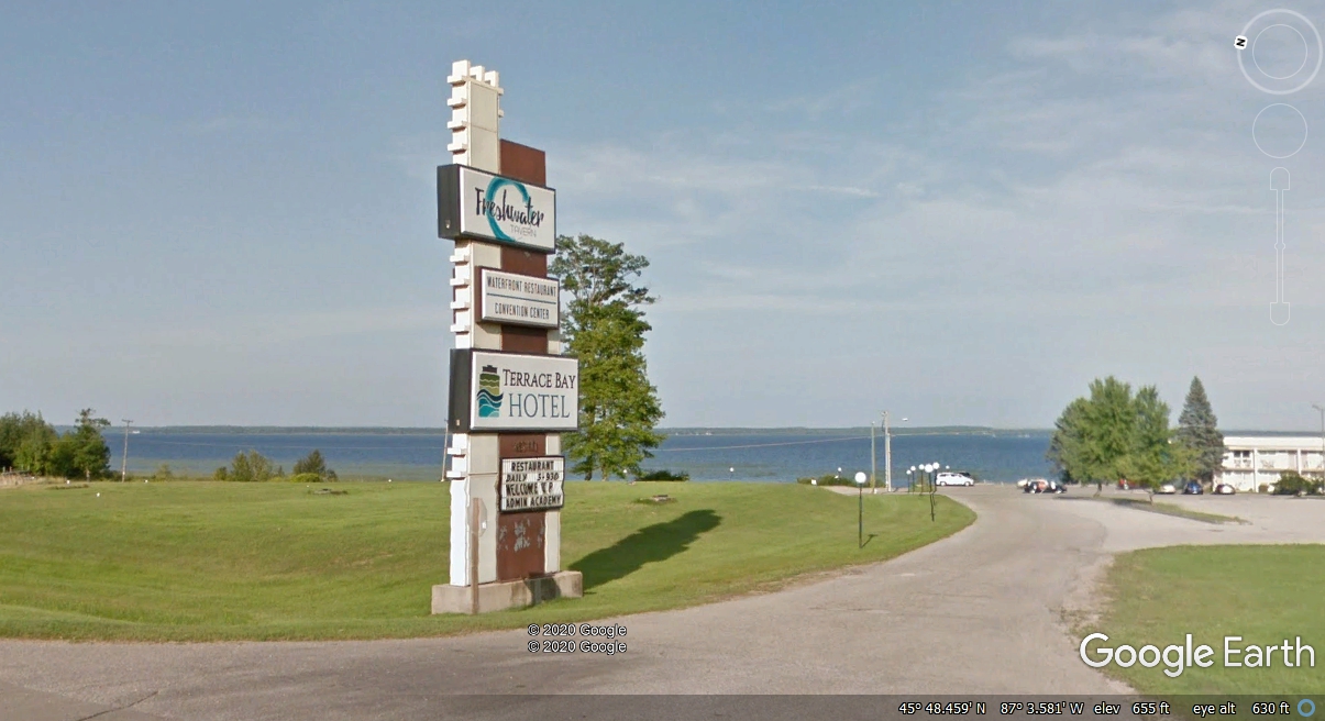
This is Little Bay De Noc that connects to Lake Michigan further south
from the location seen here. This LINK
to Wikipedia gives the details about this county and this bay in Michigan
north of Escanaba. The shadow on the road is the "camera ball"
on a post ten feet above ground on the Google Earth vehicle collecting these
images.

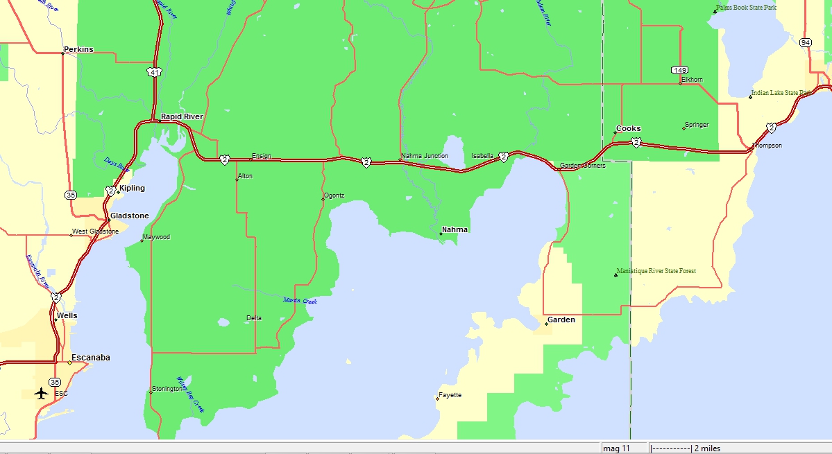
The map below shows US 41 and US 2 about 13 miles north of Escanaba where we
came down to the motel last night. This morning we will head EAST across
the lower part of the Upper Peninsula of Michigan with views of Lake Michigan
beginning near the town of Manistique, Michigan.
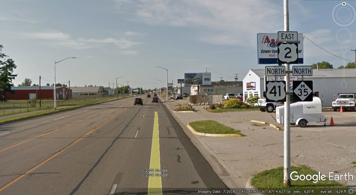
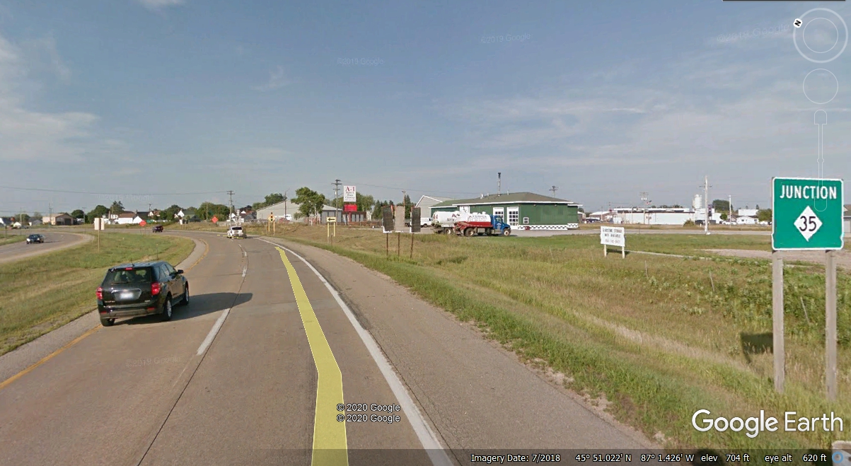
This junction of Michigan route 35 is shown in the map above taking a
northbound route away from US 2 and US 41 at the town of Gladstone seen here.
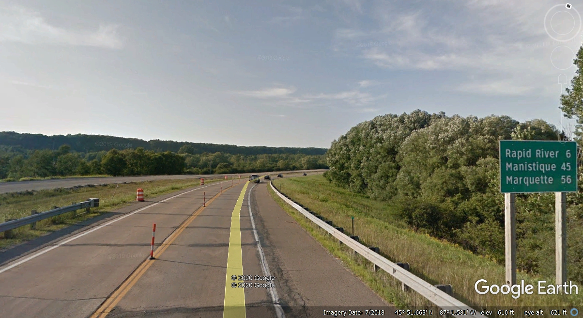
Rapid River is near the junction of US 41 and US 2 where US 2 continues EAST
to Manistique and over to the Mackinac Bridge to the "Hand of
Michigan." Marquette is
north of that junction on US 41. We came from that direction yesterday
evening.
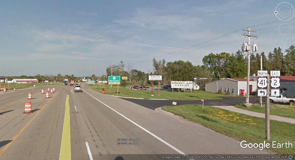
Here is that US 41 intersection going North where US 2 going East is our route
from here today. We passed by this intersection at 9:15 AM heading for
Manistique..
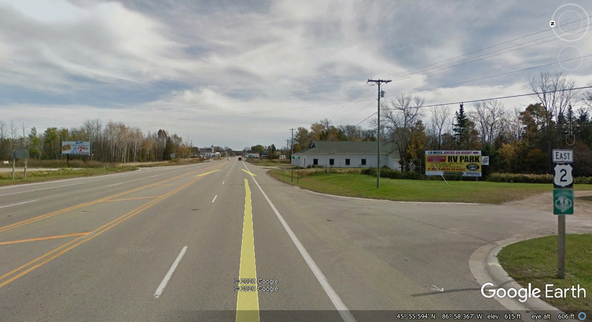
The small town of Rapid River, Michigan is EAST of the US 41 / US 2
intersection. This area seems lonely compared to the larger towns back
down south of here.
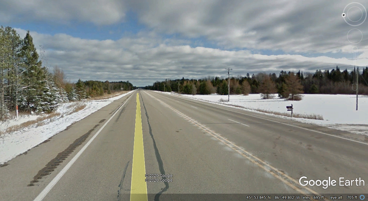
This area of the Upper Peninsula is mostly 2-lane highway along US
2. This sign gives motorists hope of getting ahead of slow traffic every
10 miles. This Google Earth image and others on this web page were captured in November
2016 when there was some snow on the ground. We passed this way on July
26, 2019 with not a snow flake in sight.
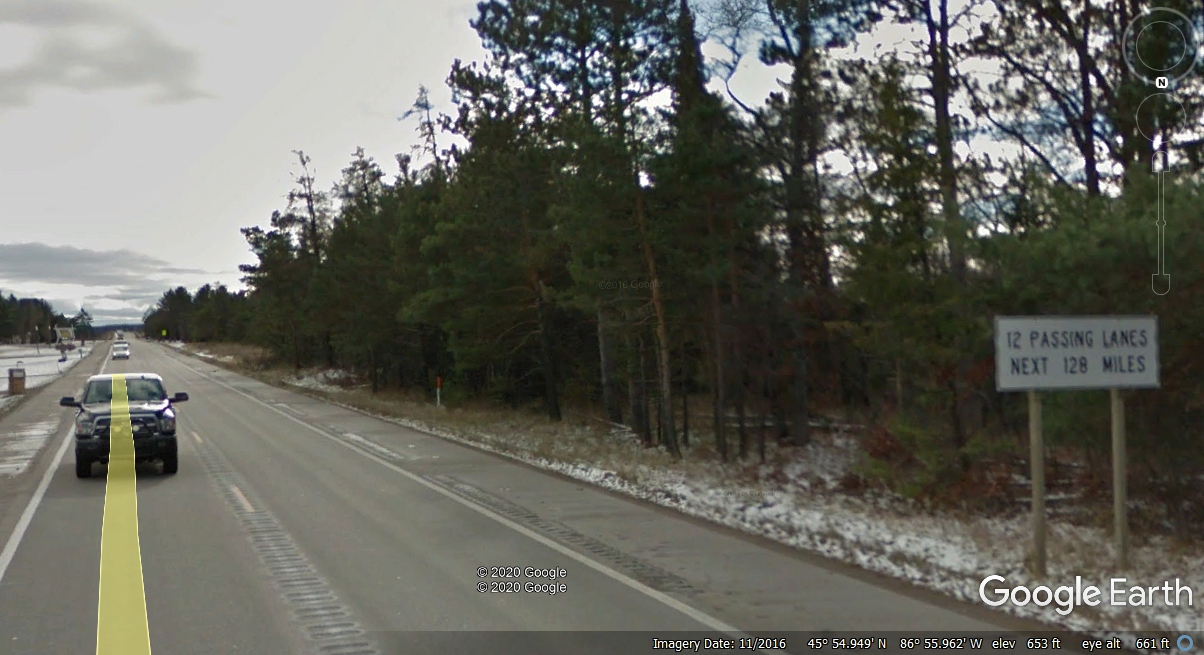
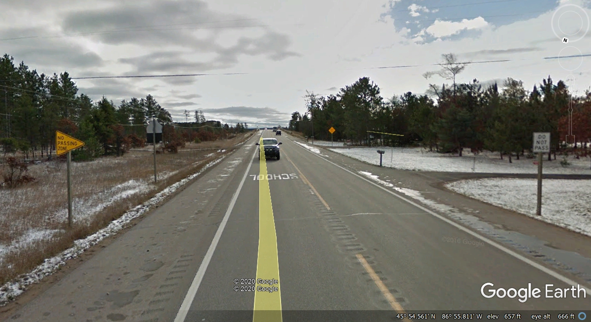
Less than a mile after the 12 passing lanes sign seen above, is of course
a NO PASSING ZONE in a section of US 2 East of Rapid River were the highway has
turned southeast for about 1.5 miles before resuming an Eastbound path.
The Google Earth photo vehicle was going WEST on the day these images were
taken. The cameras on the vehicle are mounted in a "ball" about
ten feet above the roadway. Multiple cameras are pointed in various
directions. The image below and the one above are from a rear-facing
camera. I chose the rear-facing images since we were heading EAST on the
day we were on US 2.
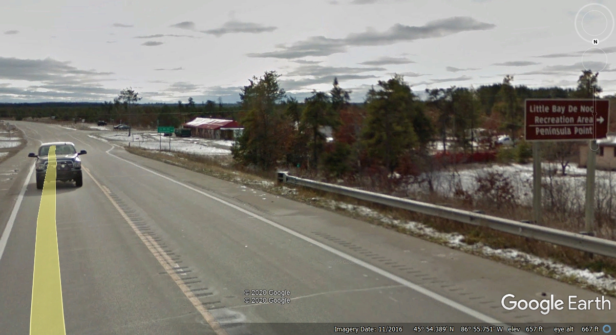
Here is a reminder of Little Bay De Noc being near US 2. This gentle
curve to the East is shown on the map seen UP above on this web page.
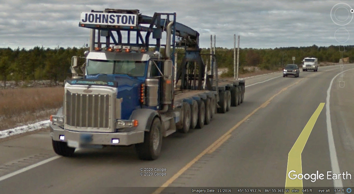
With all the forest land in the Upper Peninsula, logging trucks are part
of the landscape. There are FIVE axles on the rear of this empty truck
with only TWO axles touching the road. The trailer also has FIVE
axles. The crane mounted at the rear of the truck loads and unloads the
logs from the truck and the trailer.
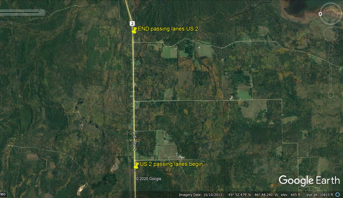
Here is one of those passing lane areas along US 2 on the road to
Manistique, Michigan. This part of the passing area favors Eastbound
traffic. It changes up the road to four lanes. The passing lanes end just
over two miles ahead. I measured the distance using the Google Earth ruler
while looking down on this stretch of US 2.
Here is the passing lanes ZONE looking down from above using Google
Earth. Those two side roads are one mile apart, confirming the passing
zone is just over two miles long. This satellite image is from October 10,
2013.