US 41 Copper Harbor at Lake Superior · · PAGE 21.
July 25, 2019: I am creating this new
web page with some older photos from 2004 and new photos taken on July 25,
2019. US 41 to the northern
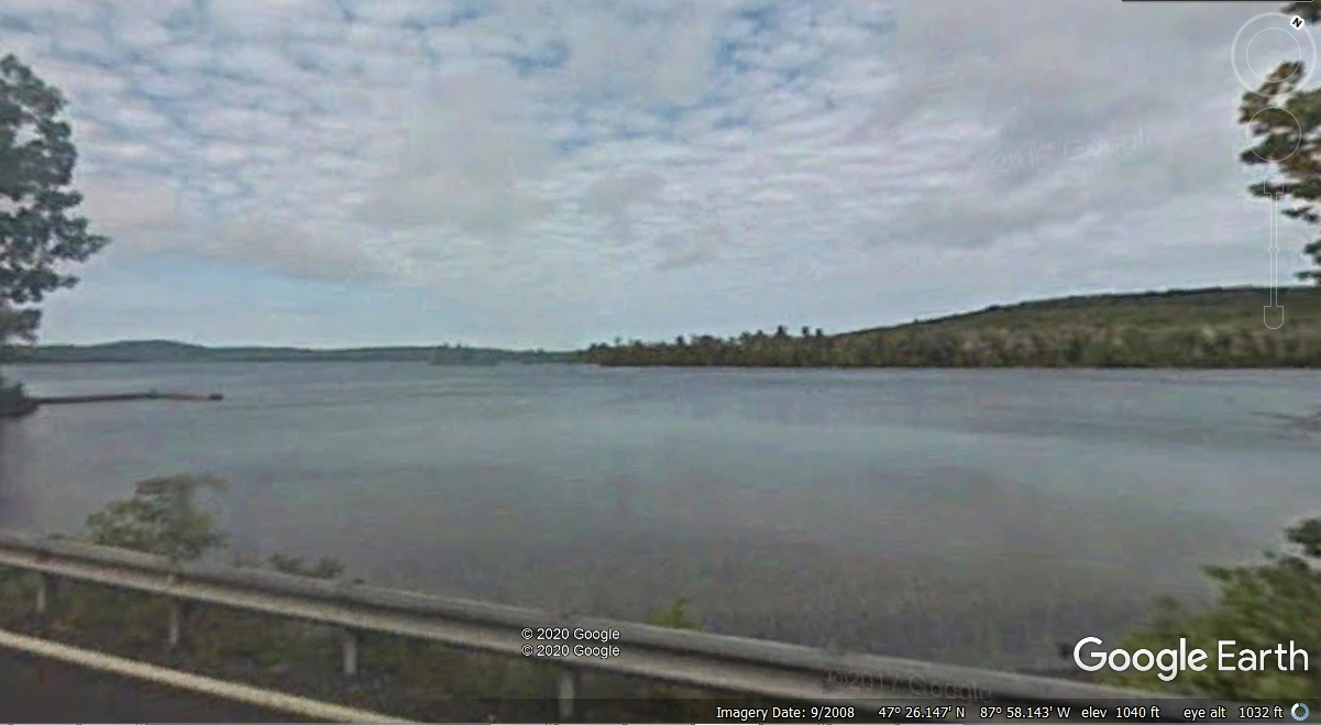
Keweenaw Peninsula can be a boring ride through the forests. US 41 passes
along the south shore of Lake Medora seen here about 4.3 miles from Copper
Harbor.
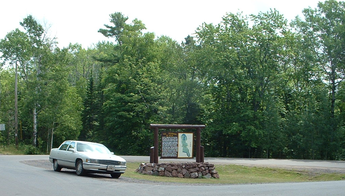
This sign marks the end of the boredom.
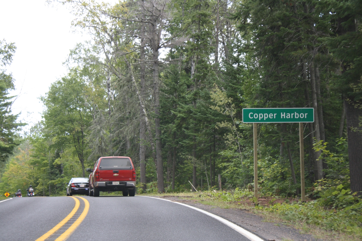
The ride into town ends with this first view of Copper Harbor and
Lake Superior beyond the harbor itself in my 2004 image.
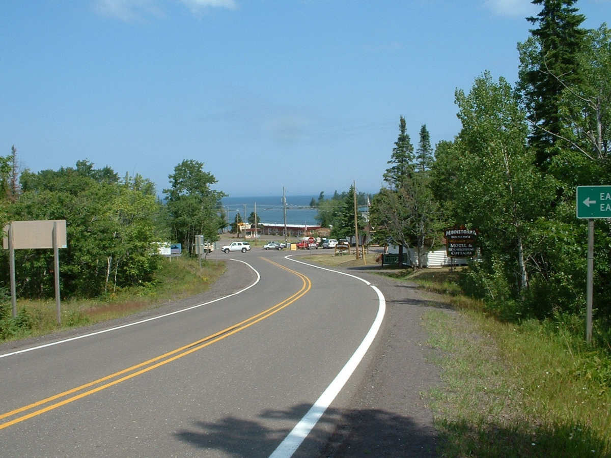
When you get to the town of Copper Harbor, turn right and follow US 41
until you get to this sign at the end of the paved road. When I got here
in July 2004, I was alone for a while.
About those old photos, I have reprocessed them for better resolution for
use in these 2019 vacation pages. I first visited this area in 2004 when I
was up this way for Oshkosh 2004.
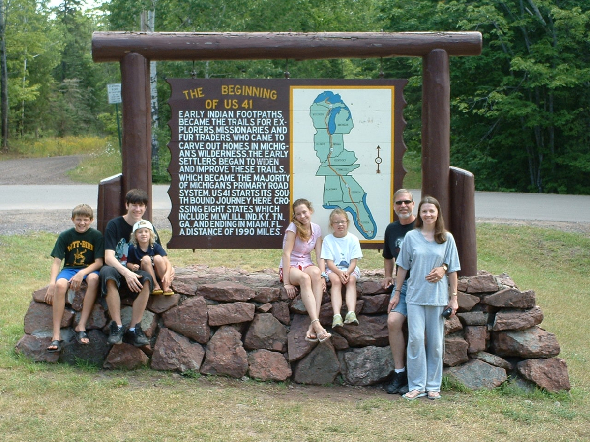
Here is a photo I took of a family posed at the beginning of US 41 sign
back in July 2004. I used their camera first and asked them to let me take
a photo with my camera.
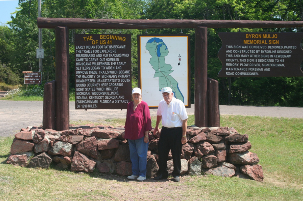
Here is the photo of Linda and I at the same sign seen above, taken on
July 25, 2019. You can compare this photo with the two above to see the
changes since 2004. My Canon digital SLR did a good job on the 10-second
delayed shutter setting. I had Linda stand in "just the right
spot." I pushed the button and had time to take my position before the
shutter snapped.
Linda took this photo while I was getting my tripod and camera set up for
the photo you see above.
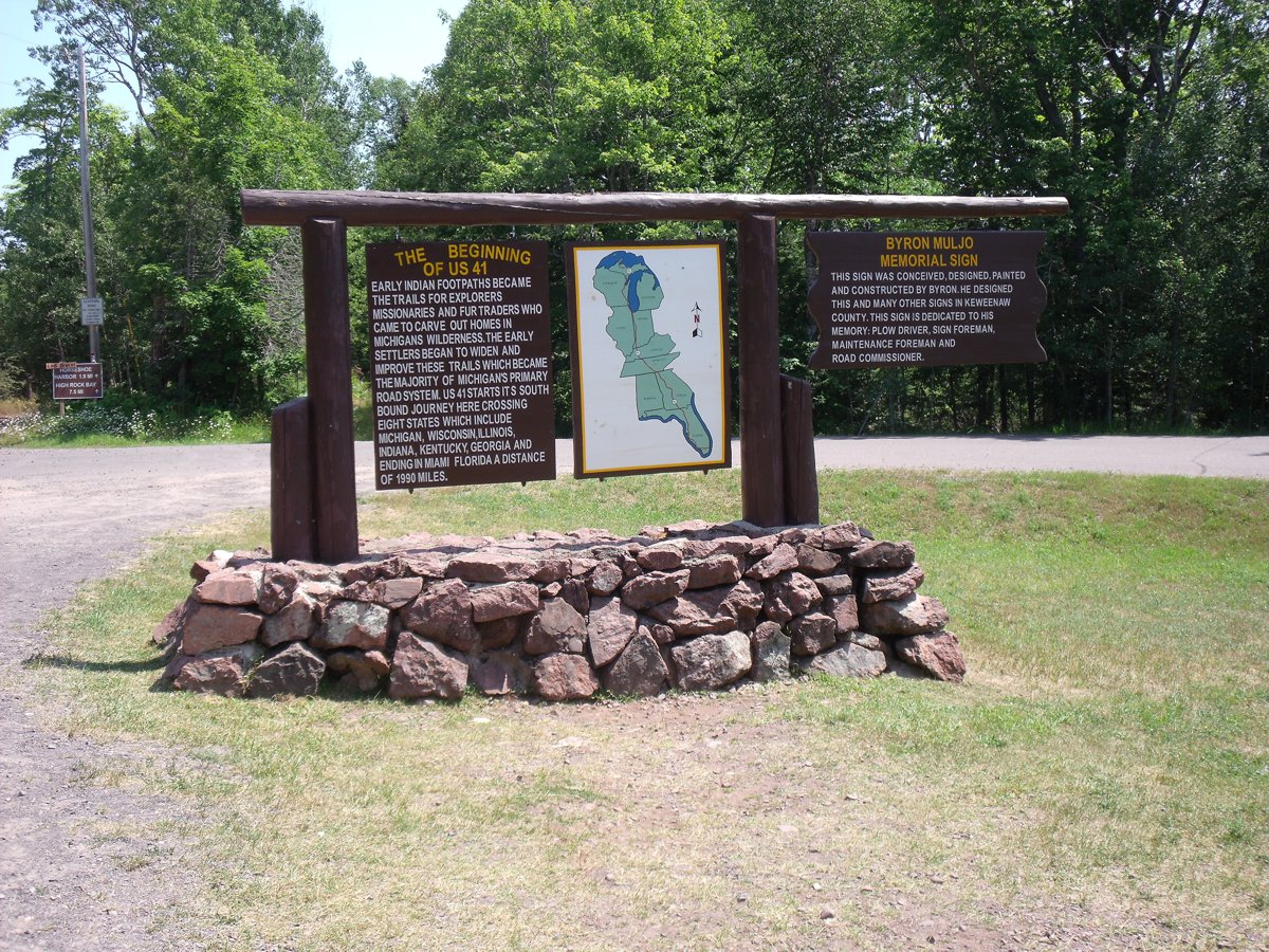
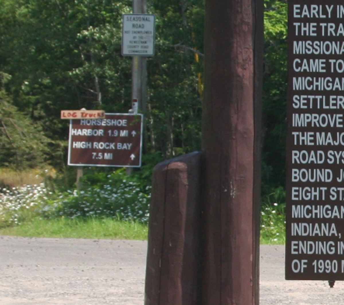
I noticed another sign in the background at the dirt road exit from the
circle. That road continues east to the end of the upper peninsula land at
High Rock Bay.
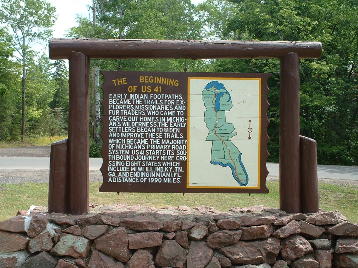
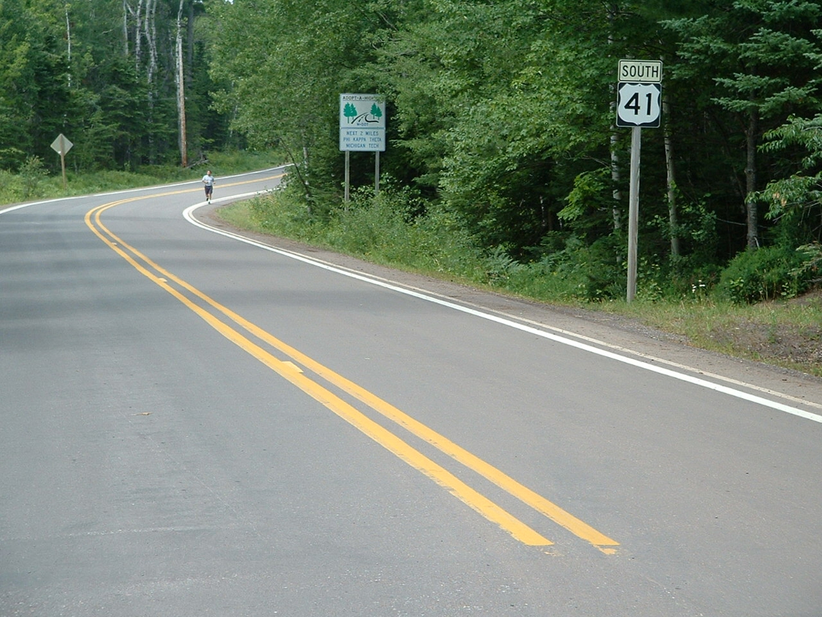
The US 41 SOUTH sign from 2004 is still here in July 2019. There was
another sign nearby that said "Miami 1,990 miles", but it was stolen
several times over the years.
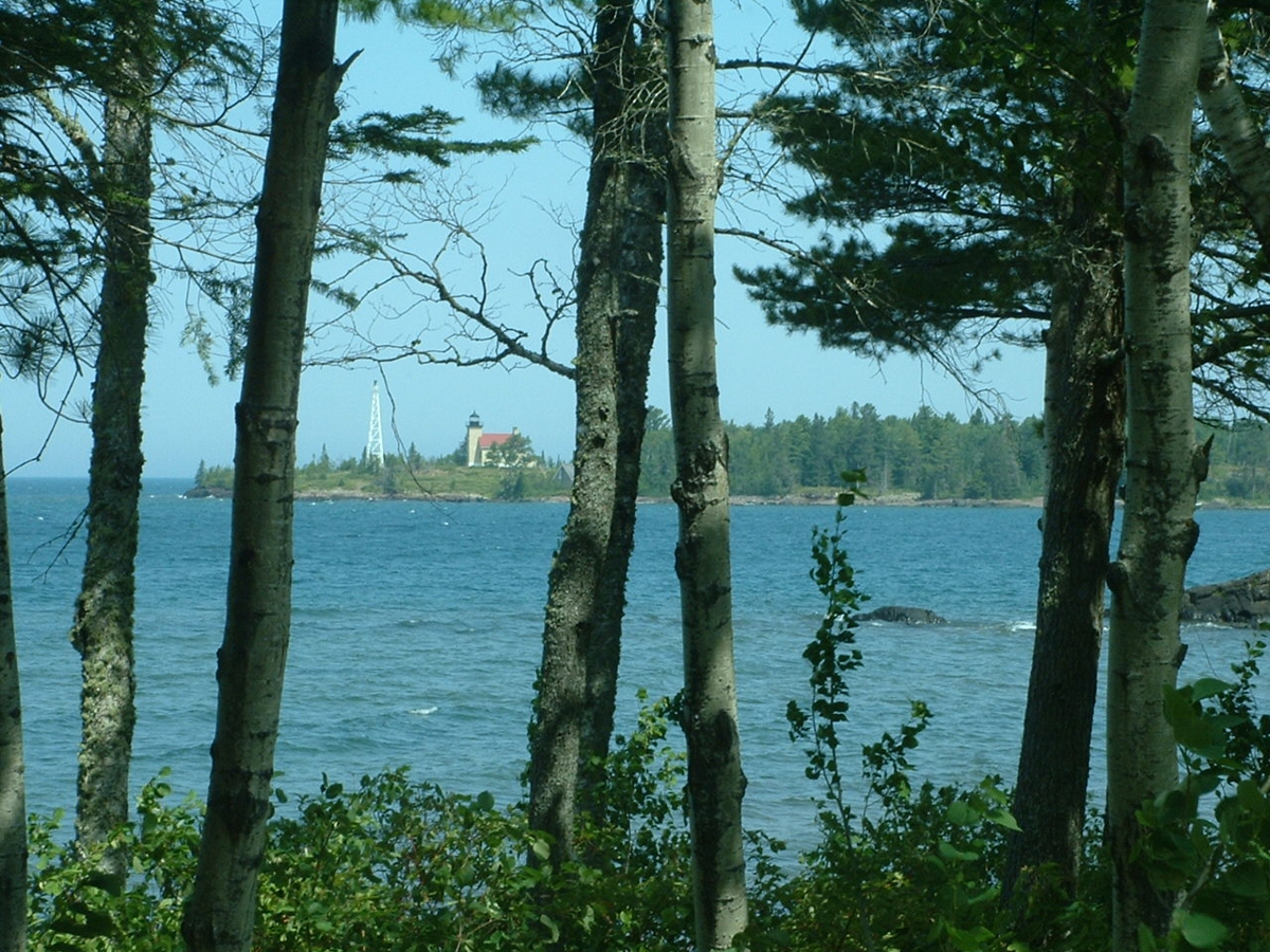
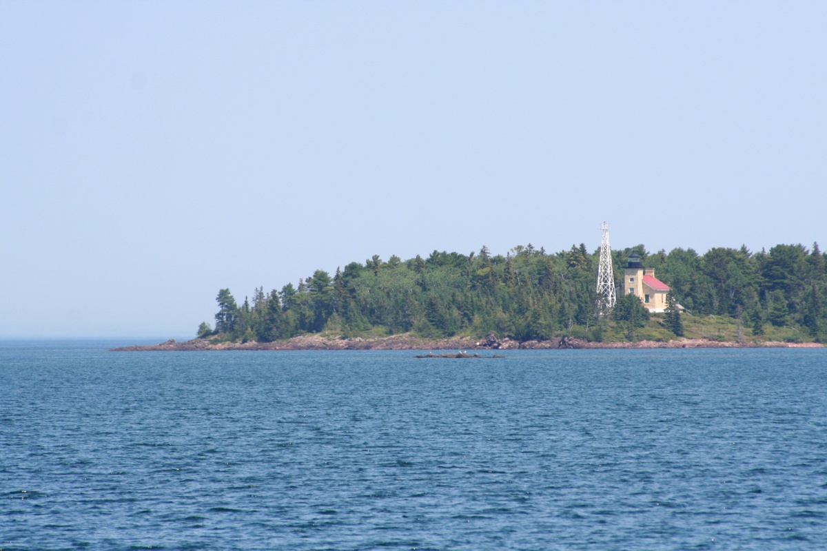
On my way back to the town of Copper Harbor in 2004, I realized there was
a good shot of the light house on the north side of the harbor. I parked
on the side of the road and took this photo from US 41 near Fort Wilkins state
park.
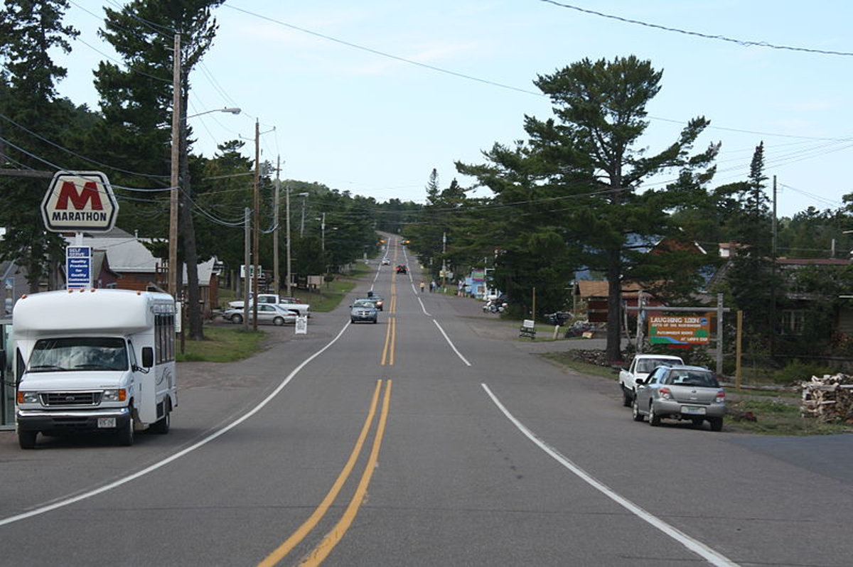
Here is the view as you come back from the end of the road to the main
street of US 41 in Copper Harbor.
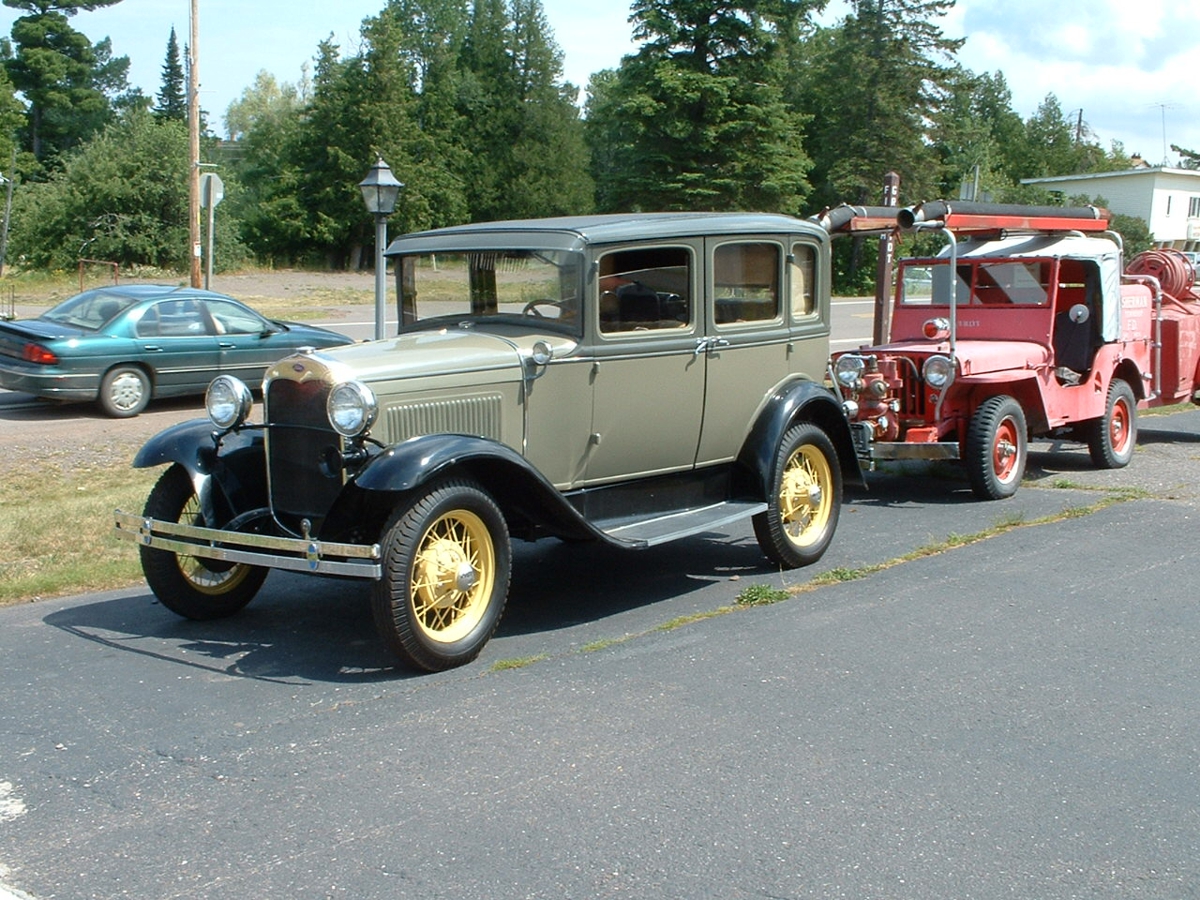
My first ride down this part of US 41 In 2004 had a few old cars on
display in this area.
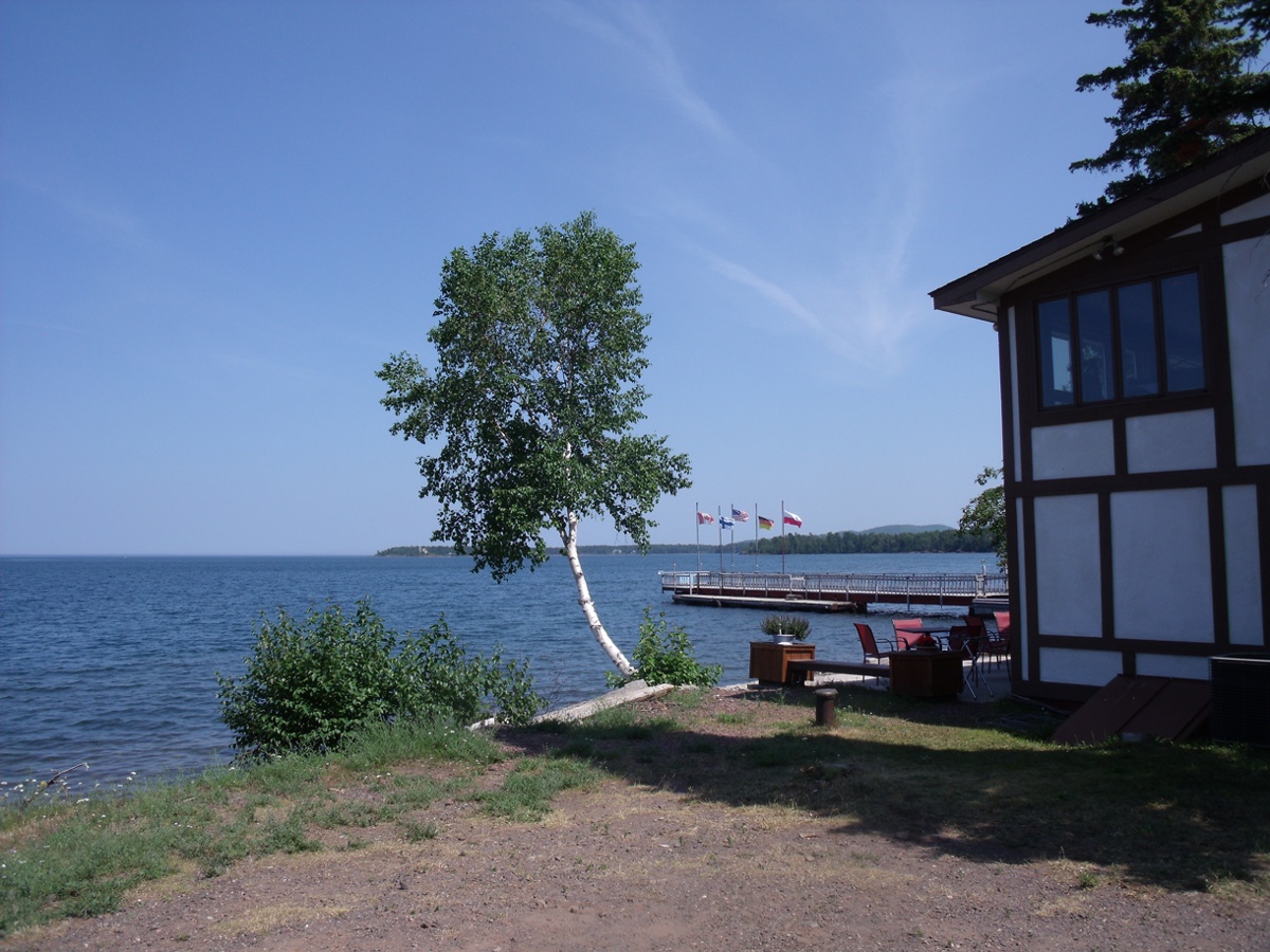
We went down to the end of First Street and parked near the edge of Lake
Superior to take a few photos. Linda took this photo.
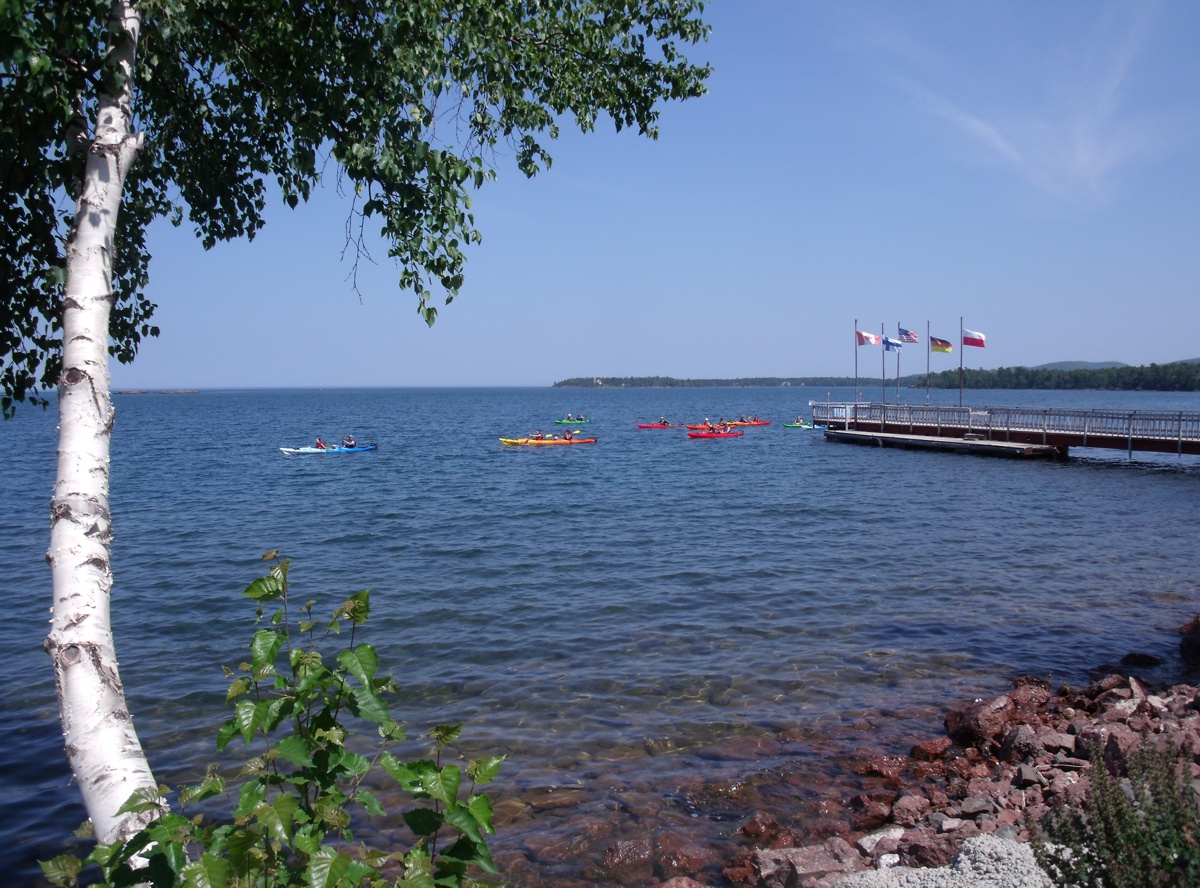
Her second photo shows a number of kayaks here in the relative calm water
in Copper Harbor. The flags attest to the breeze from the cold water of
the lake and the warmer air over the land mass that is the final tip of the
Upper Peninsula.
I set up my tripod and my long lens on my Canon digital SLR to get images
of the light house.
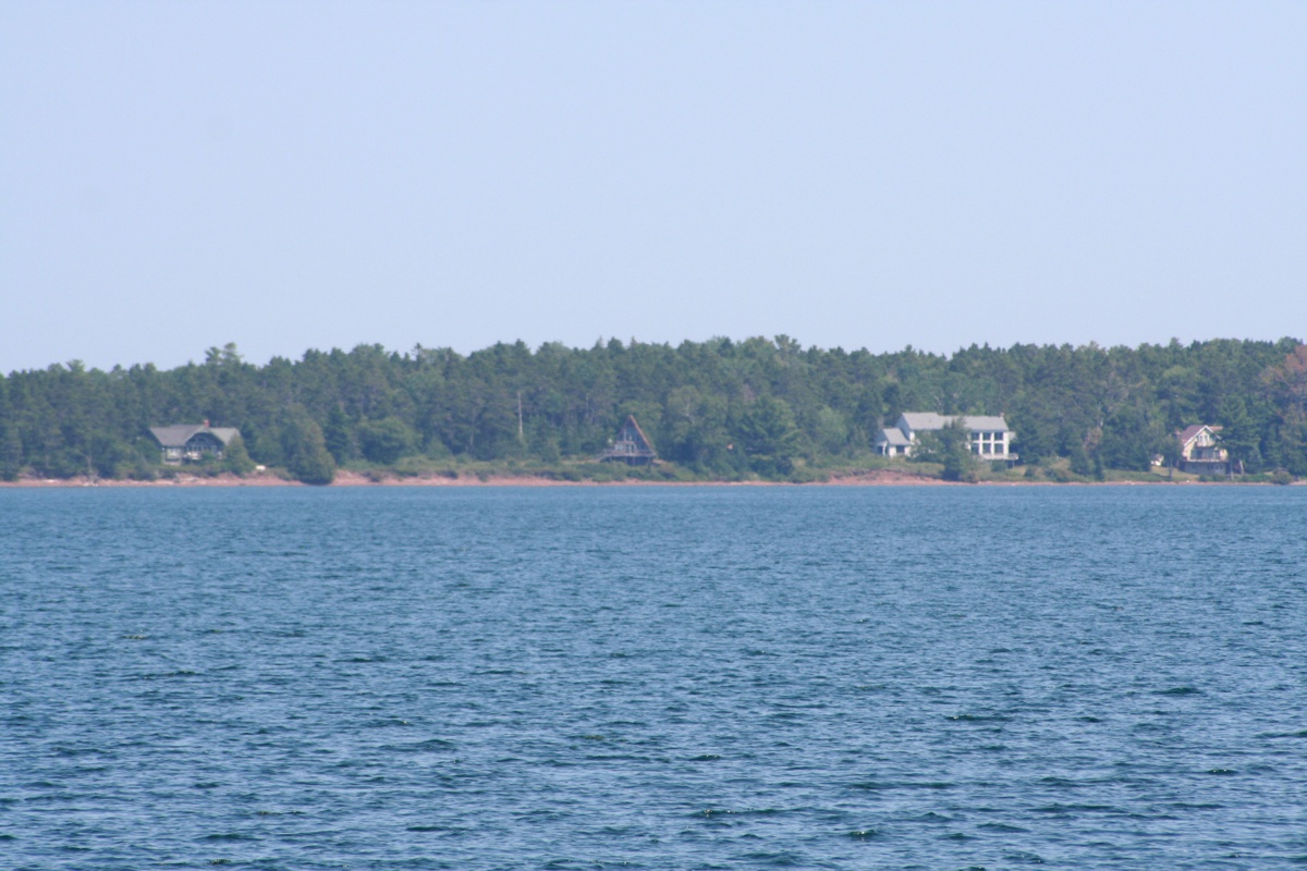
There are a few other houses on that side of the harbor.
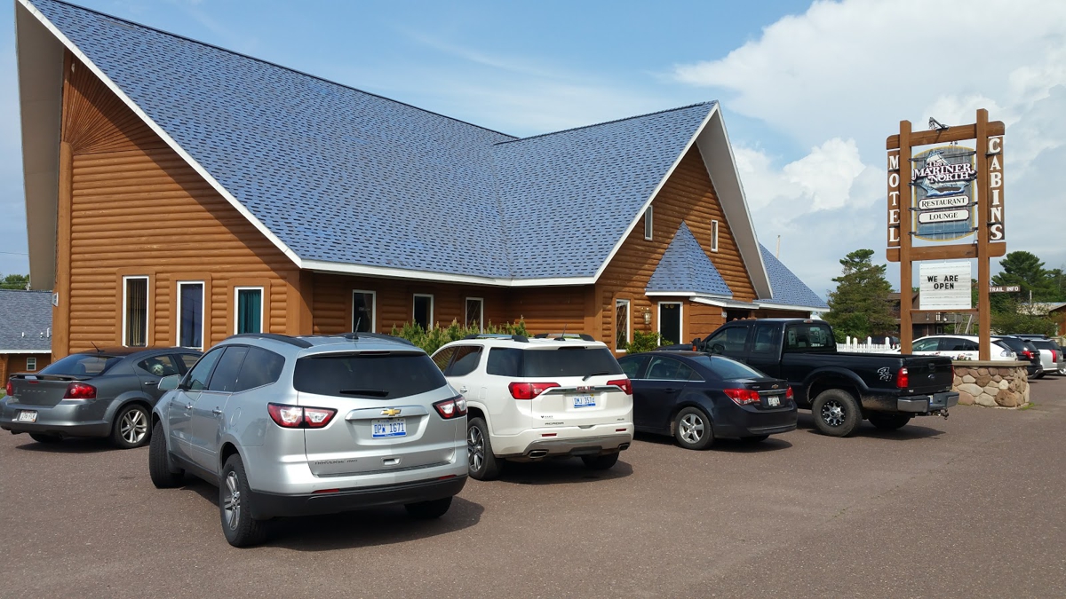
The Mariner North restaurant was where we had lunch before starting our
trip southward. The waiter told us about a scenic drive along a nearby
mountain ridge. The GPS recorded our arrival for a late lunch at 3:11
PM. We departed at 4:35 PM.
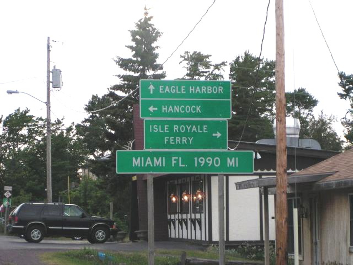
Here is the solution to the smaller signs that were stolen up near the
end of US 41 a few miles East of town. This sign is posted at the intersection of US 41 coming
from the south and Michigan route 26 going west then south along the coastline of the
lake. We will take route 26 after a short detour to see some of this area
from Brockway
Mountain.