Iron Mountain, Michigan North on US 141 · · PAGE 18.
July 25, 2019: The
GPS came alive with the first data point for today time stamped at 10:27 AM
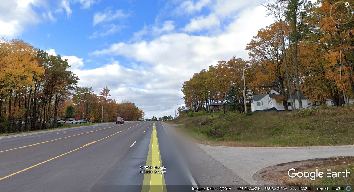
Eastern Time as we got back on US 141 to leave Iron Mountain. The road out of
town is four lanes with a center lane instead of a grass median. It is not
a limited access highway, but there is not that much traffic up here. This
image is about one mile west of our motel from October 2019. We passed
this way on July 25, 2019 and all the trees were GREEN. Maybe next time we
can catch the fall colors of nature up north since we live in Florida.
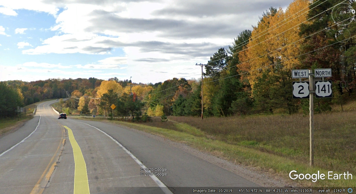
About a mile past the image seen above, we passed the junction for
Michigan state route 95, the four-lane highway comes down to 2 lanes as seen in
this photo below. There is a bridge ahead that crosses the Menominee River
west of Iron Mountain.
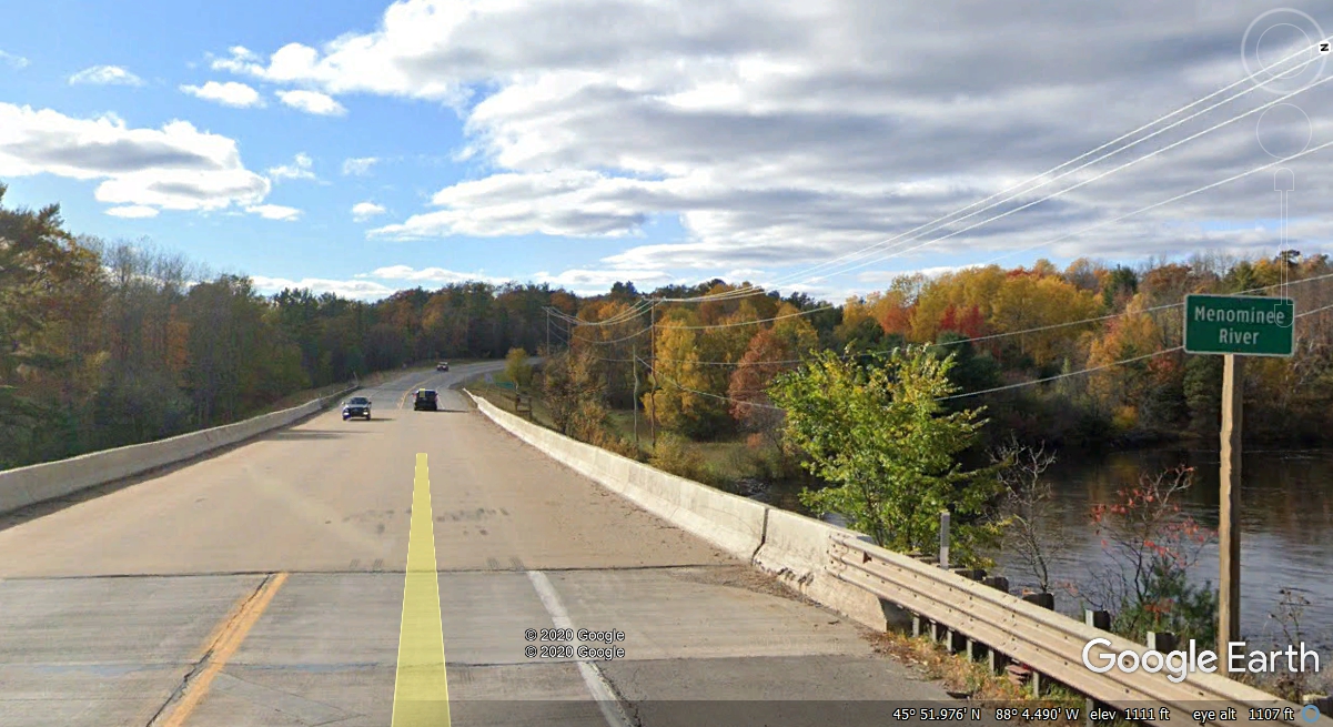
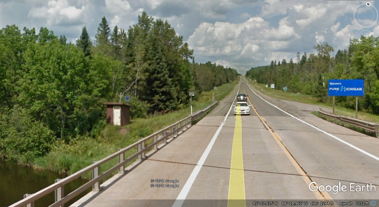
Here it is again, the river that is the state line between Michigan
and Wisconsin. At the west side of the bridge, there is a county line
sign, but no welcome to Wisconsin sign.
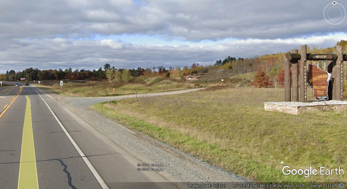
Finally on top of the hill after the river, just like it was when we
crossed from Dubuque, Iowa into Wisconsin, here is that same "cheap"
sign again. At least they are consistent.
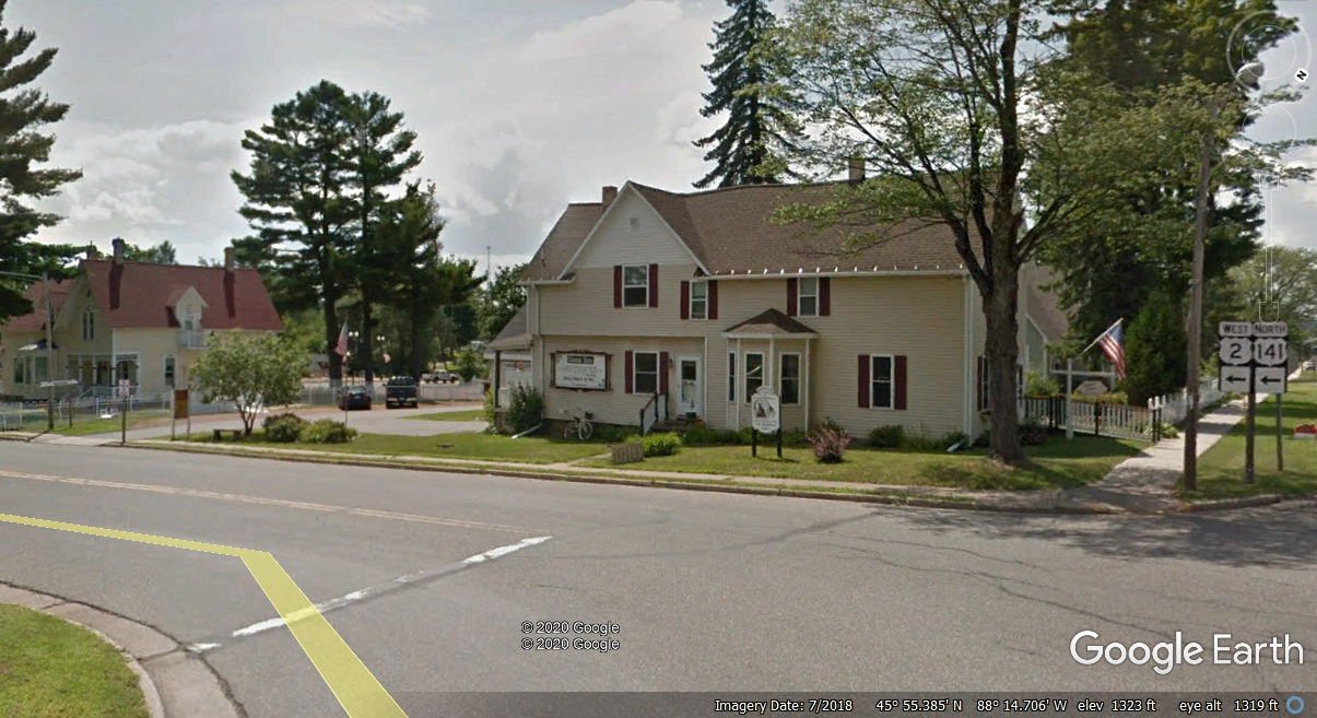
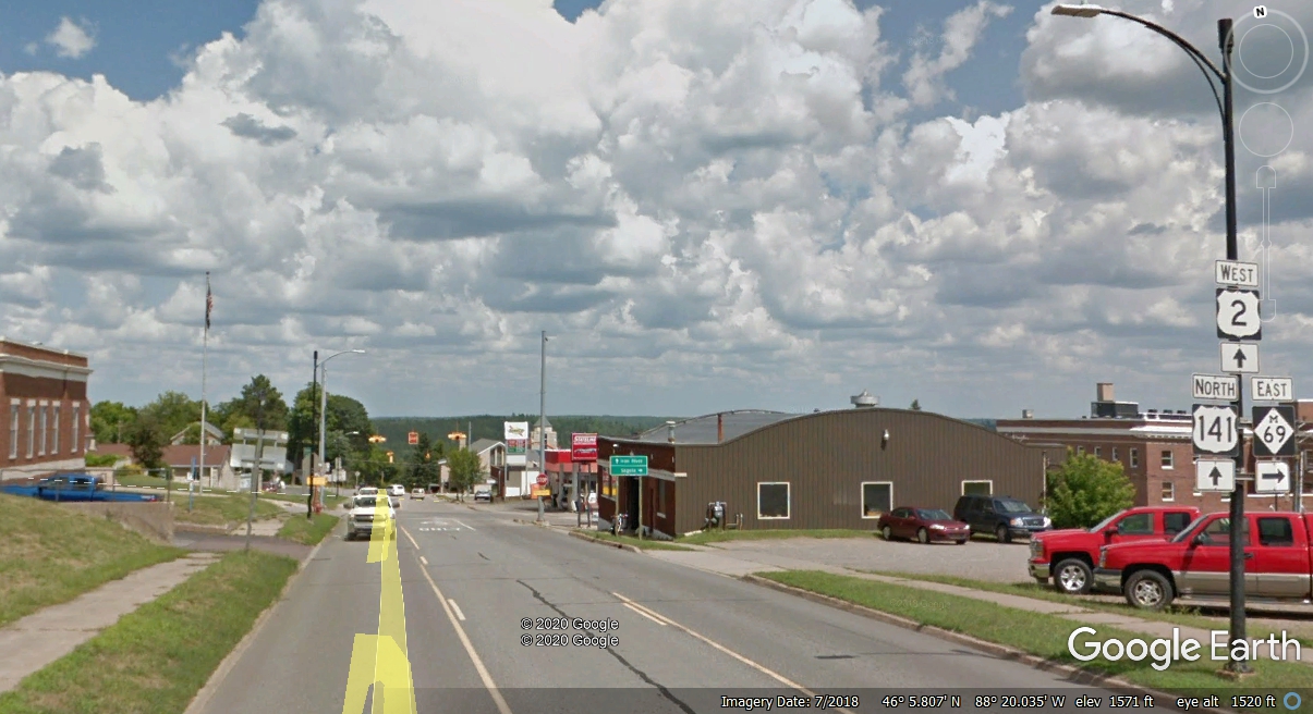
The US 2 highway coming into Florence, Wisconsin is offset north of the
main street through town. My GPS warned me of this left turn before I got to
the intersection. A jog one block south from here and then turning west
heads for the center of town.
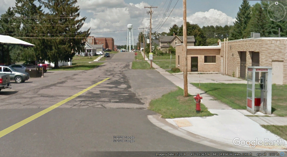
These small towns hide secrets that have disappeared where cell phone
coverage is lacking: A phone booth alongside US 2! It is on the north side of the
street two blocks from the "jog" over to the Central Avenue and two
blocks from the "center of town."
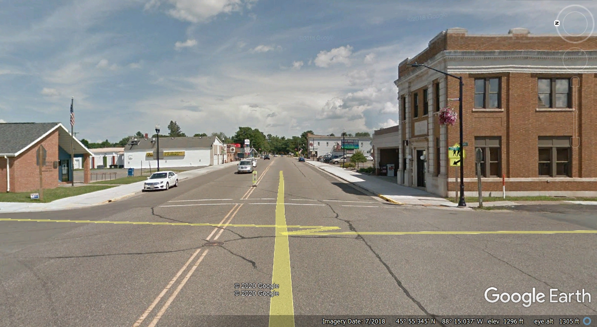
Here is the "center of town" marked by the US post office
on the left and Florence State Bank on the south side of the street.
Looking EAST at Central Avenue produced a better image from Google Earth.
Leaving Florence west on US 141 and US 2 has the usual gas station
and a couple of state highways departing from the US highways.
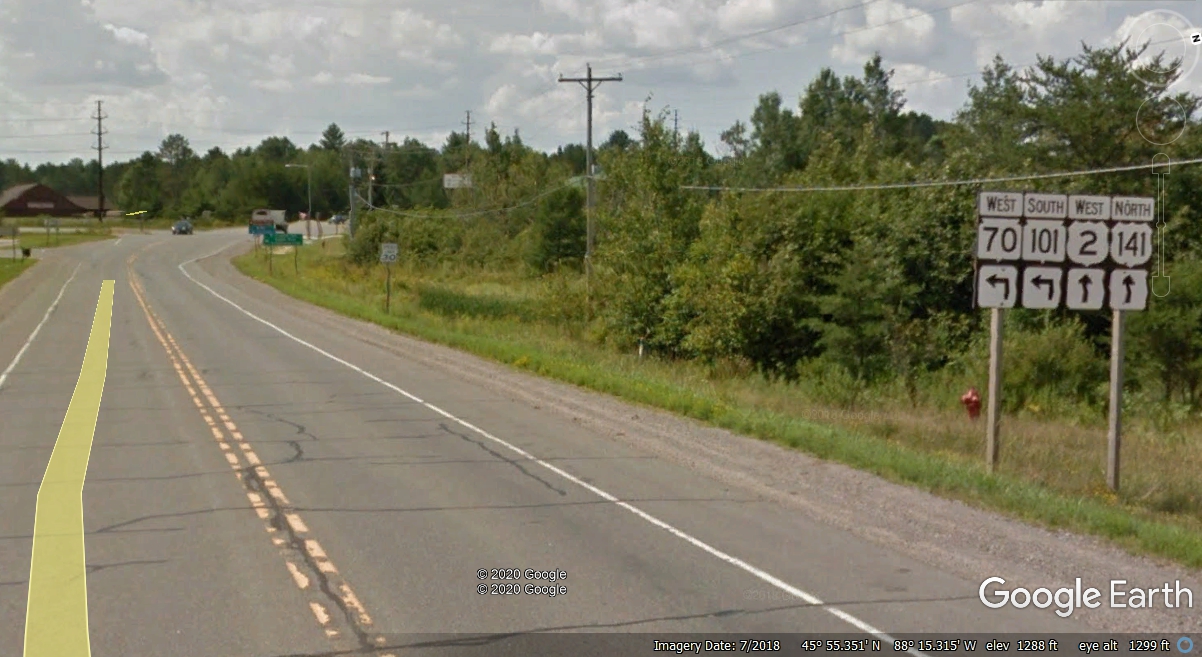
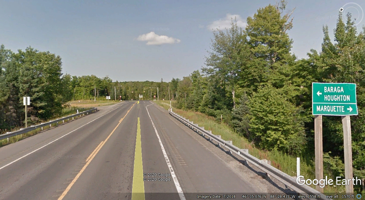
The next landmark on our route is going into Michigan for the last
time today as we cross the Menominee River one more time. We start on a more
northerly path still on US 141 and US 2 across this bridge and find another
"Welcome to Pure Michigan" sign.
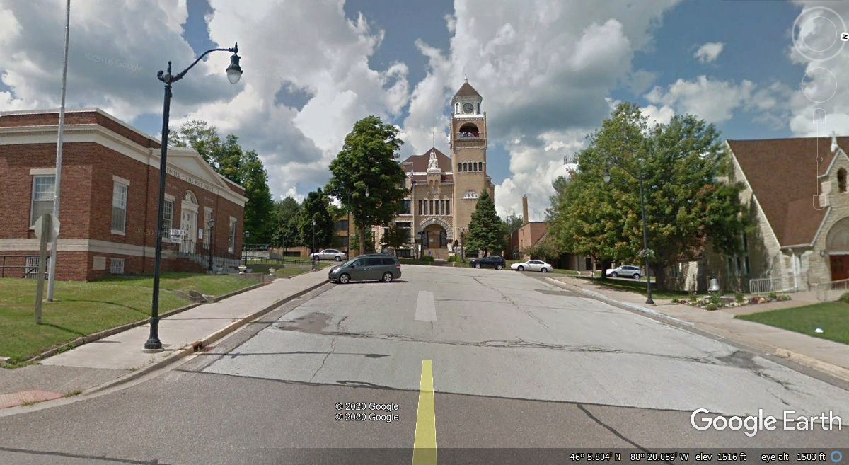
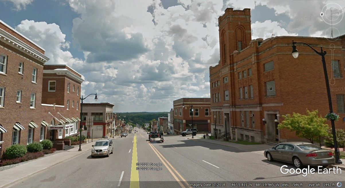
Crystal Falls is the next town and county seat of Iron County,
Michigan. This is a view looking north on 5th Street approaching Superior Avenue at the center of town.
In case you have not noticed before, there is a circle in the upper right corner
of this image which is a compass with the "N" pointing north on Google
Earth images.
How do you know you are at the center of town? There is the county
court house at the top of the hill. It is on the national register of
historic places. The US post office is on the left side of this photo and
a major church is on the right side of the street.
Here is the view looking EAST on Superior Avenue down the hill toward the
Paint River. We took a few minutes to drive down that way. Google
Earth became our tourist camera as we did not take time to capture our own
photos here.
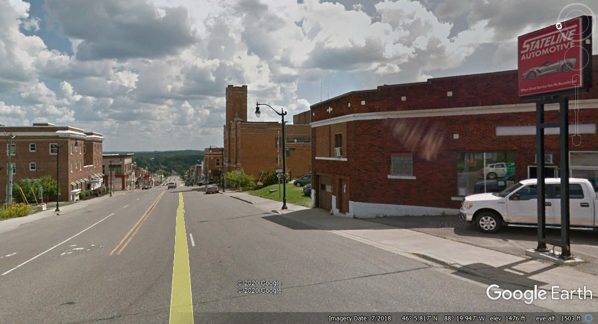
Crystal Falls City Hall is on the right at the corner of the next cross
street.
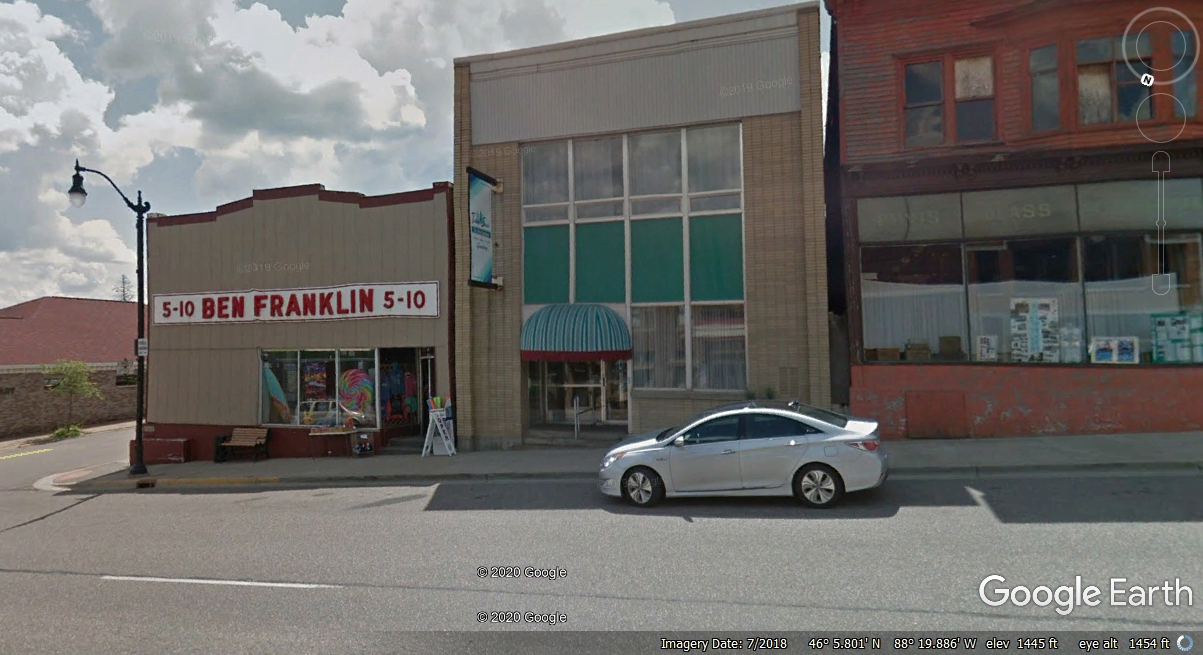
Small towns keep their past alive as seen here with a Ben Franklin
"five and dime" store. The nearest Wal-Mart is located in Iron
Mountain, Michigan over 30 miles away.
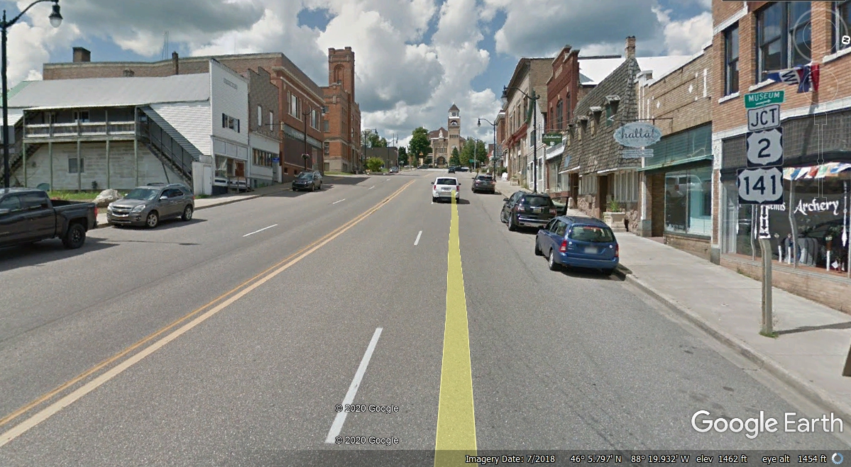
All types of stores line Superior Avenue as seen here when the Google
Earth photo car climbed the hill on Michigan route 69 toward the US highways up
by the post office.
Our quick tour of the downtown area of Crystal Falls, Michigan is
complete. A right turn ahead will put us on track again. When I was
collecting these Google Earth images here, I noticed when I tried to use any of
the side streets, the images are from 2008 with lower resolution and poor
contrast.
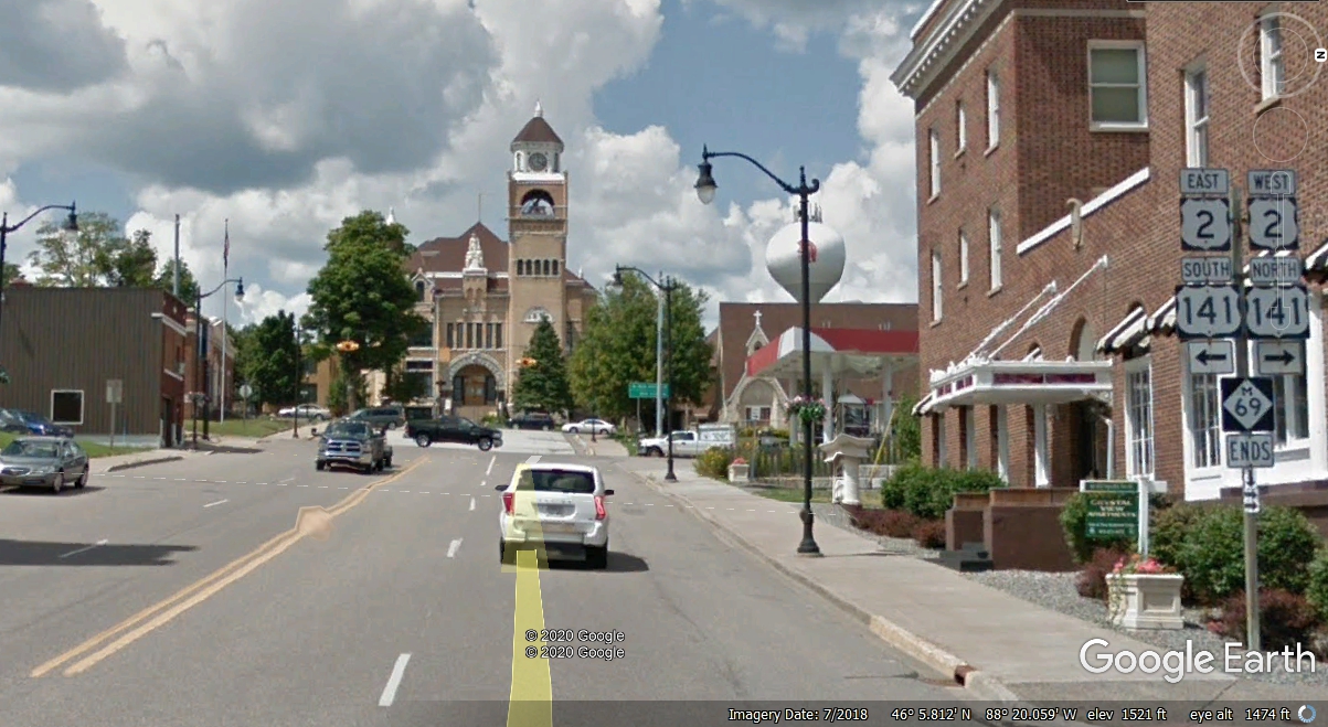
The US highways turn off 5th Street one block from Superior Avenue on to
Crystal Avenue to leave town.
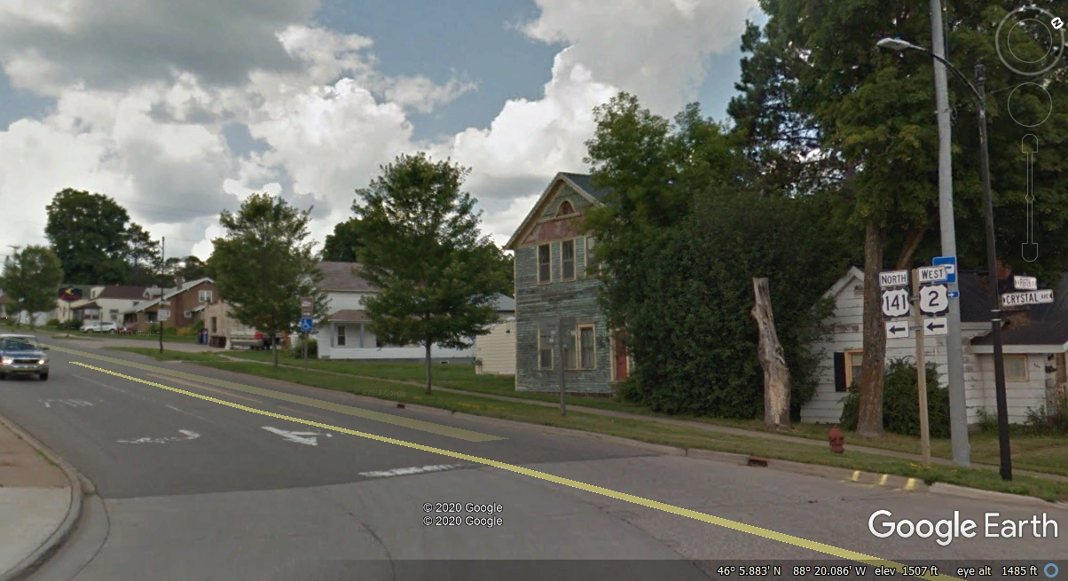
About 1.1 miles west of the fifth street is where US 141 resumes its path
north while US 2 goes west across the USA all the way to the State of
Washington.
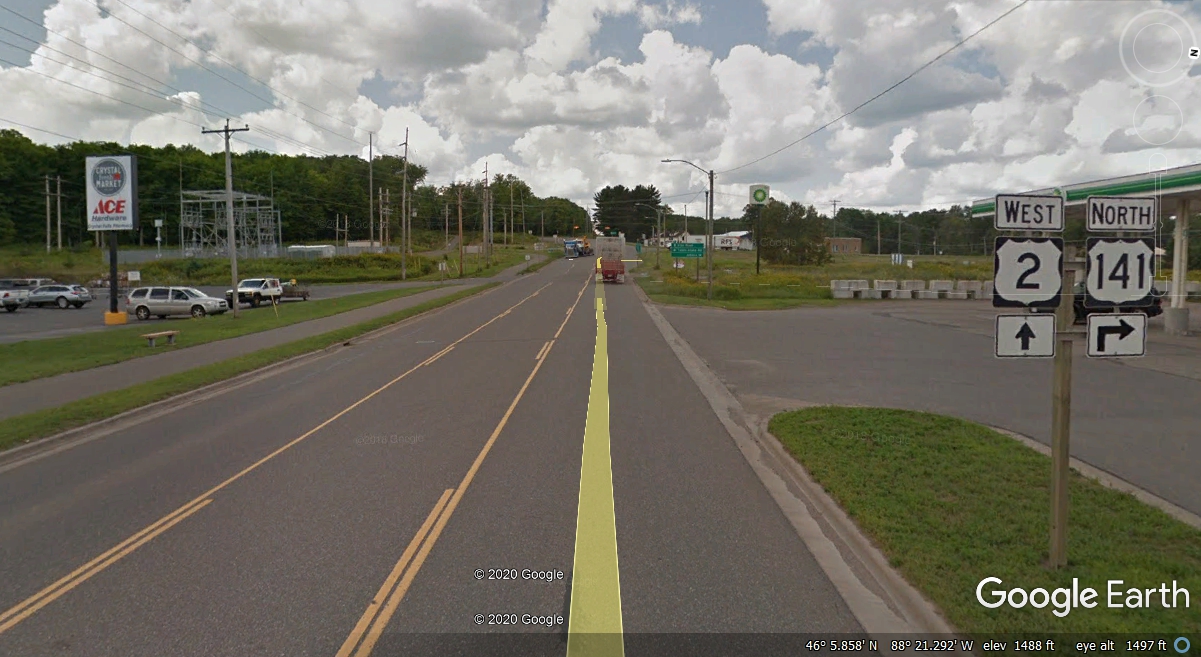
Going north on US 141 up to where it ends at US 41 is about 38 miles with
no mileage signs, only my GPS to keep me informed of our progress this
morning. We reached this location at 11:42 AM Eastern Time. A LEFT
TURN up ahead is northbound toward Lake
Superior. A right turn heads south a short way, then EAST to Marquette and back down to US 2 to
go East, more about that later.
|
PAGE 19 - Heading North on US 41 through Indian Reservations |