October/November 2021 Vacation Day 15 · · PAGE 49.
November 9, 2021: Tuesday continues on
US 17 in South Carolina with the resort towns of North Myrtle Beach and Myrtle
Beach behind us and a full tank of fuel for today's travels down to our next motel
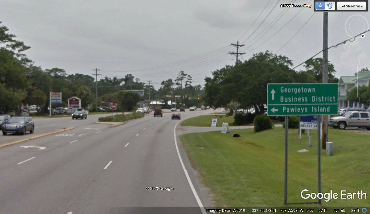
in Charleston, SC. The town of Pawleys Island is about 16.5 miles south of where
we got on US 17 on the previous page. The highway has been close to the
Atlantic Ocean for quite a ways. This is where it turns inland by about 8
miles going to Georgetown, SC.
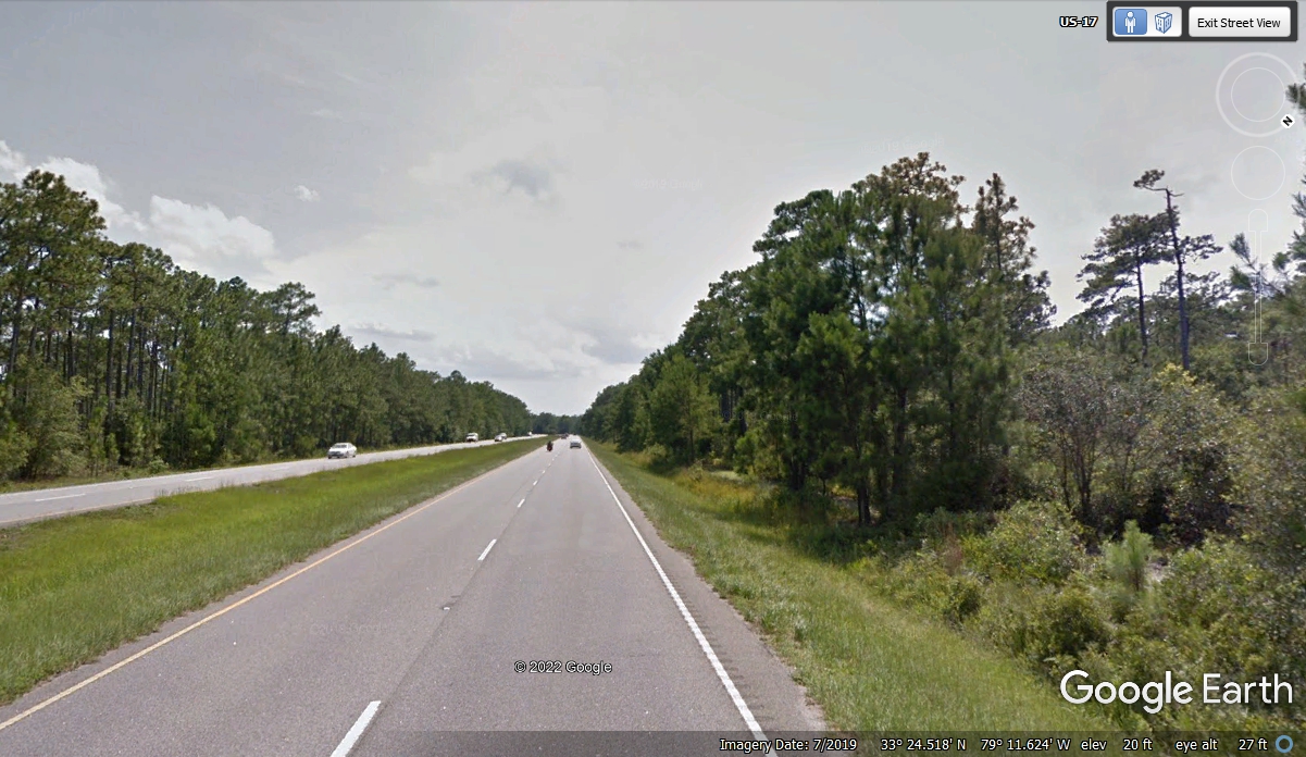
There is plenty of forest land between Pawleys Island and the city of
Georgetown, SC.
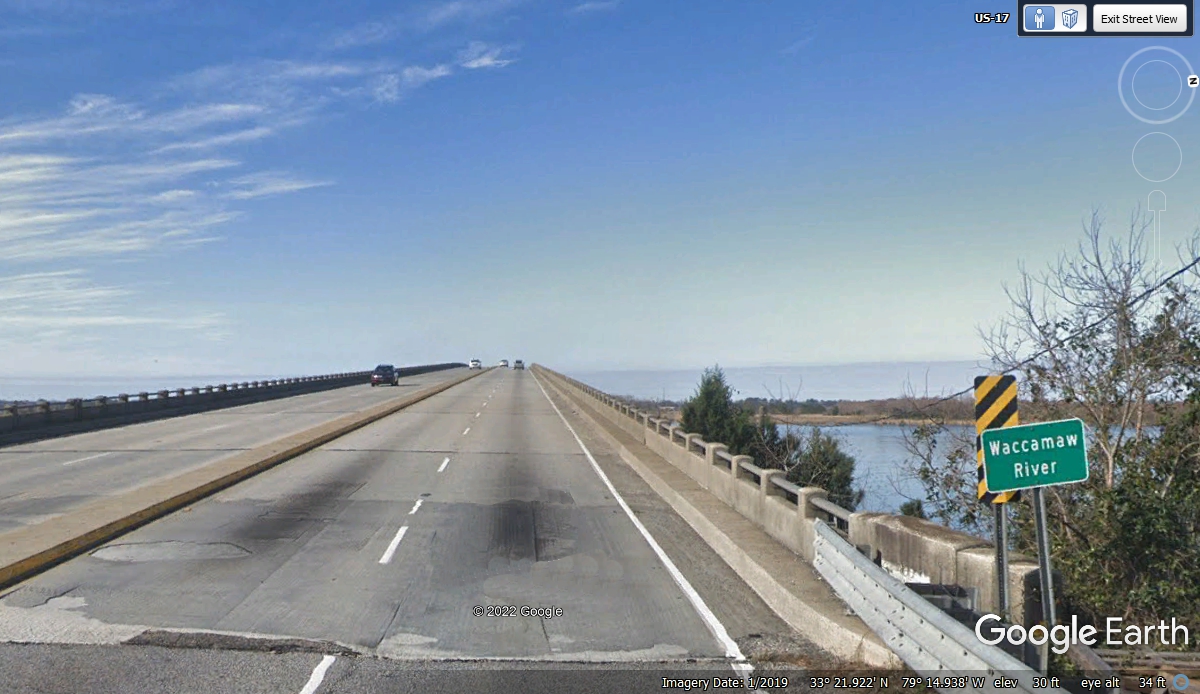
The Waccamaw River is part of the Intracoastal Waterway as it winds
through the low country of South Carolina near the Atlantic coast.
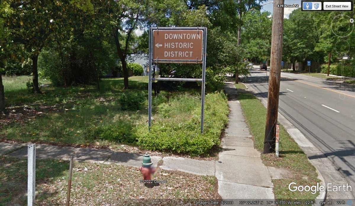
These historic district signs catch my attention often. We turned left
here at 12:11 PM to see the town. Each building in every town has its own
place and story about daily American Life.
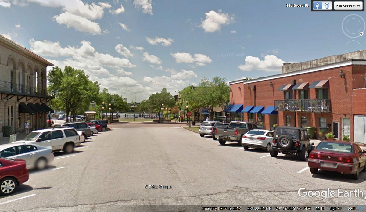
Broad Street lives up to its name with the on-street parking on both sides
and room for more than two lanes of traffic as seen here. The city park by
the island in the Sampit River with its trees are the icing on the cake.
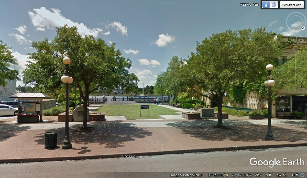
Here is closer look at the park where Broad Street meets Front Street.
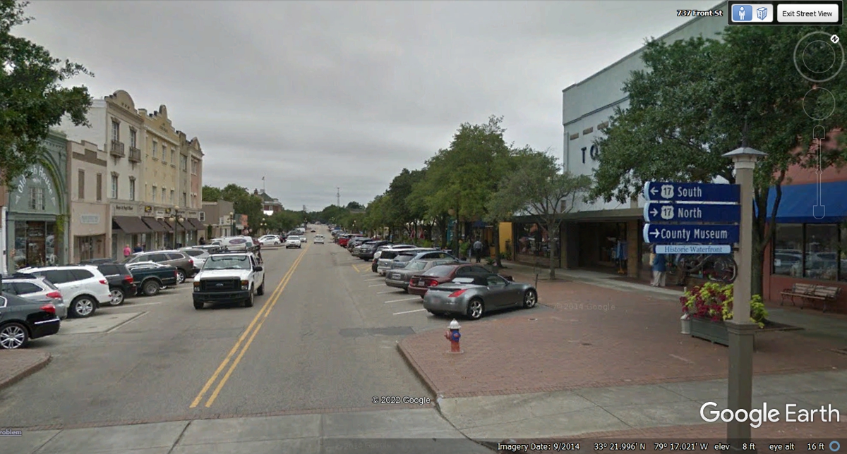
The view below is looking northwest on Front Street from the intersection with
Broad Street that reveals the sign post at the "center" of town and a
number of prosperous businesses here. We drove up this street during our
quick tour of this area.
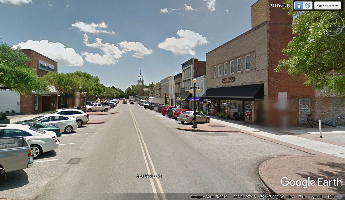
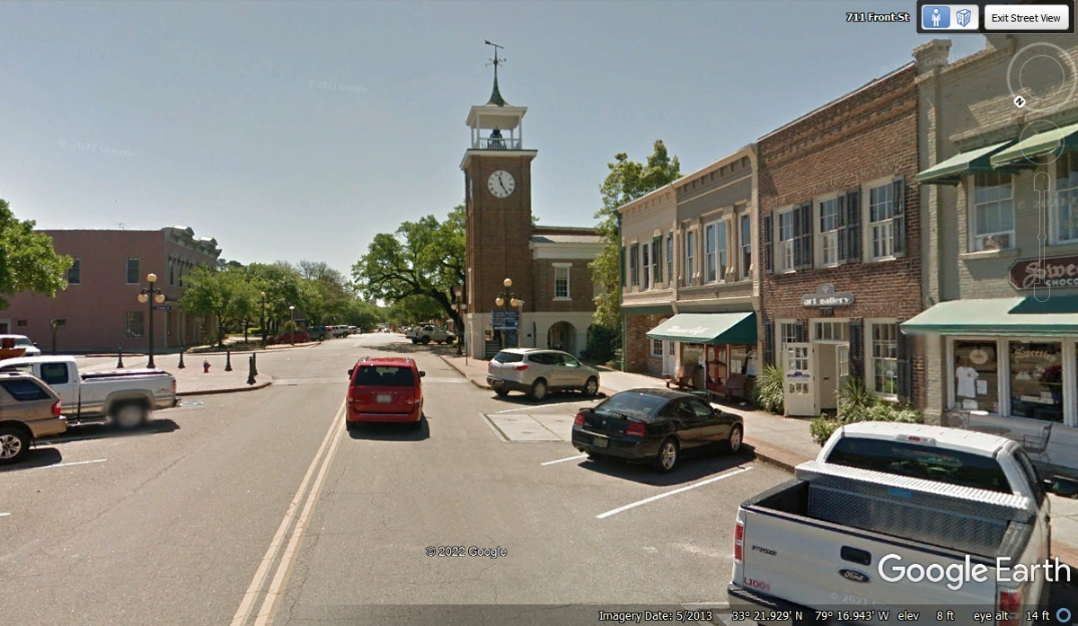
Looking in the opposite direction on Front Street reveals more prosperity
of the town, and a large clock tower. We did not go down this street in
our car today.
I moved closer to the clock tower with an image from the Google Earth
camera vehicle to get more details.
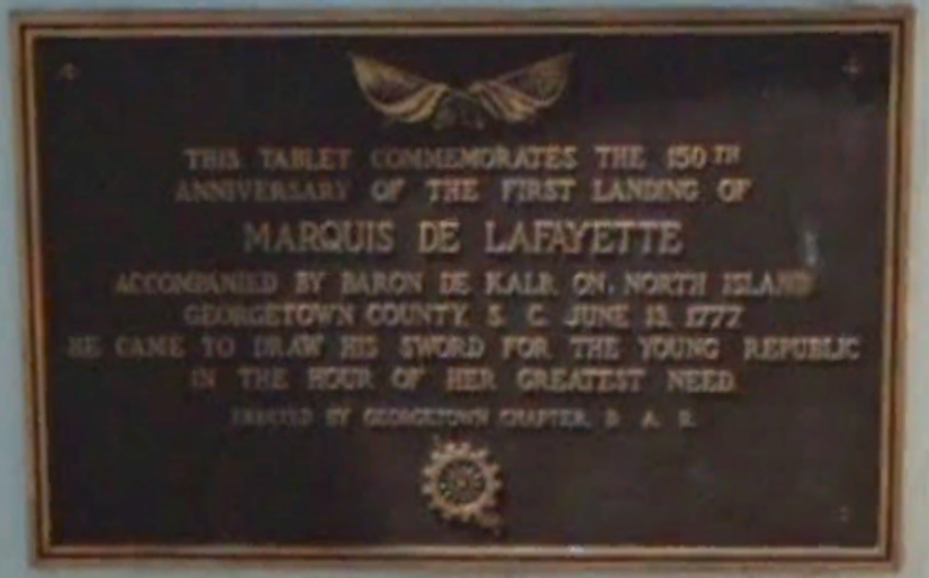
I was very glad to see when the Google Earth camera car was directly in
front of the clock tower and how clear the writing on this plaque was and that
it is legible. It tells of the MARQUIS DE LAFAYETTE making his first
landing in the colonies here is Georgetown, South Carolina accompanied by Baron
De Kalb in June 1777. "He came to draw his sword for the young
republic in the hour of her greatest need." Both these men joined
General George Washington at Valley Forge in the winter of 1777 as seen in
earlier pages of this web site about our vacation trip. The daughters of
the American Revolution sponsored this plaque.
Here is the Google Earth aerial view of Downtown Georgetown that was
captured on September 2, 2021.
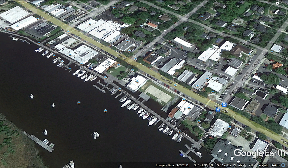
Front Street meets US 17 at a street corner where the LIBERTY steel mill
begins its plant here in Georgetown. We turned this corner and got back on
US 17 going south toward Charleston at 12:16 PM.

There are a number of big buildings stretched out along US 17. There
is rail service and a waterway behind these buildings.

This image picks up where the one above ends showing more buildings to
support a steel mill.

US 17 has a left turn down by what appears to be the end of the steel mill
property adjacent to the highway. Front Street is way down there where a
red car and two others are visible about half a mile from this curve in the
highway.

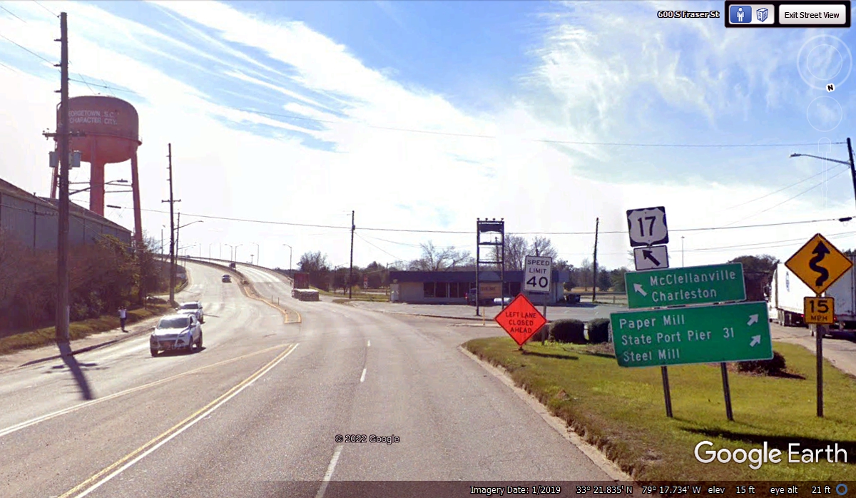
The big bridge ahead is a good sign we are leaving the town of Georgetown,
South Carolina. The green sign points to a paper mill on the other side of
the highway along with the State Port Pier number 31 also connected to the
waterway. Access to the steel mill is from a frontage road that passes
under the bridge on this side of the river ahead.
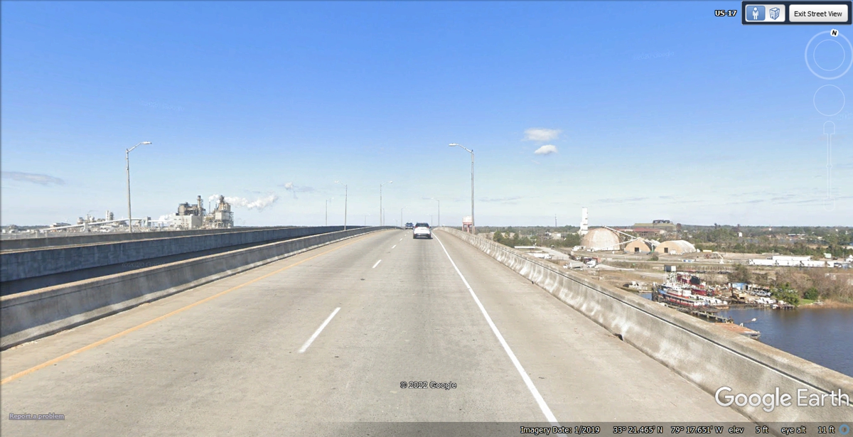
We were headed south on US 17 this day. I wanted to use the bridge
southwest of the city to get this image below, using the high point on the
northbound bridge that gave more details showing the paper mill on the left, the
steel mill and the waterway visible on the right side of the image below.
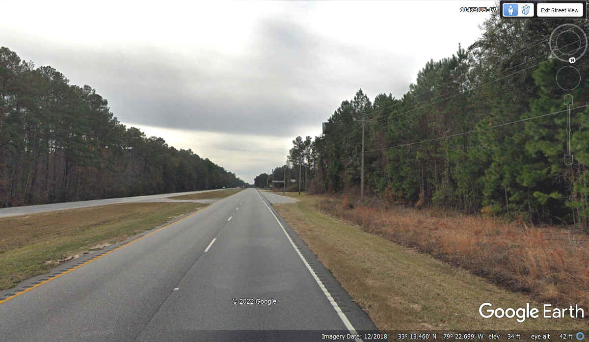
Large areas of pine forests line both side of US 17 for many miles
southwest of Georgetown serve as a supply of pulp wood for the International Paper
mill seen in the image above.
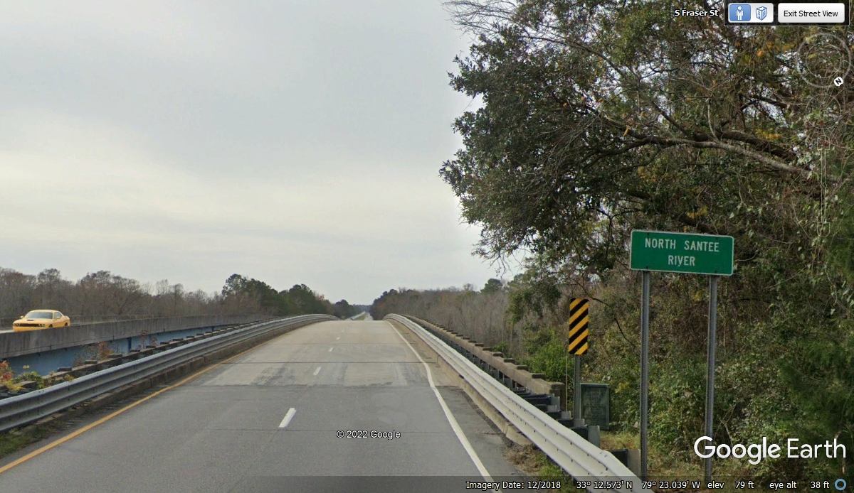
There are two branches to the Santee River in this part of the
state. This one is the NORTH Santee River. They are not that far
apart in this part of the South Carolina low country. This bridge crosses
the river where it is only 2/10ths of a mile across the water, but the bridge is
about 4/10ths of mile to a point on the other side to reach terra firma.
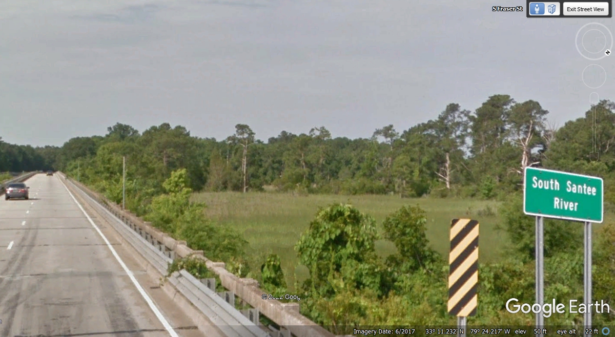
The SOUTH Santee river is about TWO miles from the North Santee
river. Both bridges have some part of the bridge over swampy land before
reaching the other side of their rivers. This bridge has about 2/10ths of
a mile of elevated roadway before crossing the actual river for another 1/10th
of a mile.
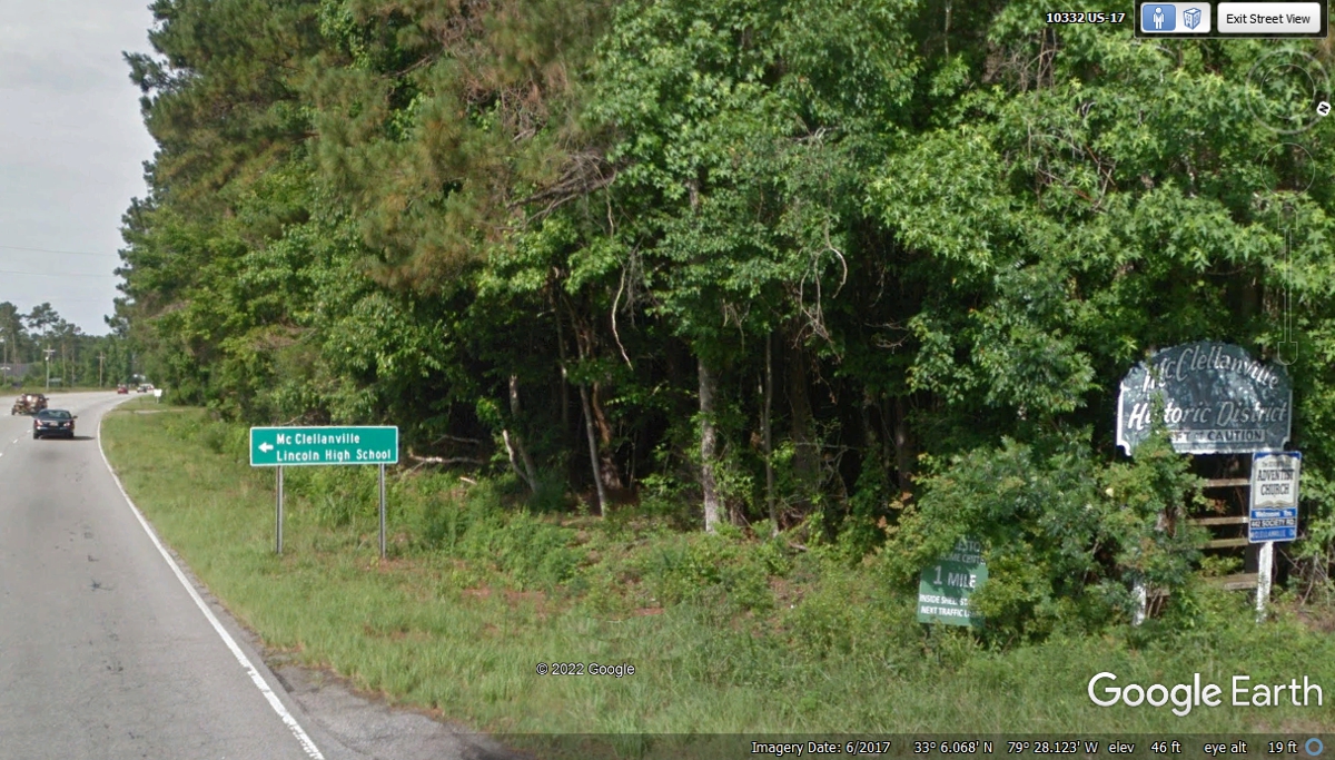
Sometimes there are nice road signs that can almost be hidden in the
roadside bushes. Here is one of those signs.
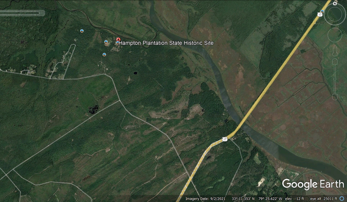
One of the old rice plantations known as Hampton is in this town is on
tributary on the west shore of the South Santee River as seen below.
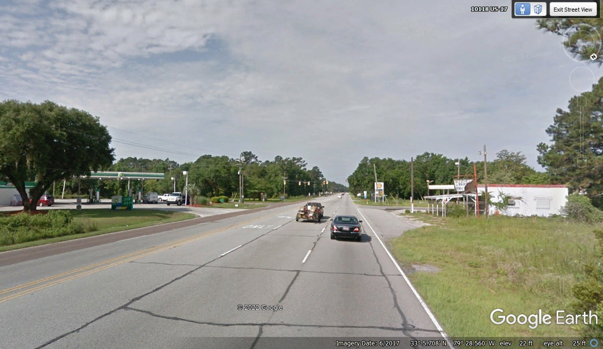
How many times have we heard people say "it's just a wide spot in the
road" when talking about an intersection with a gas station on both sides
of the highway. The nearby small town of Mc Clellanville currently has
about 500 residents and an historic past with a few mansions from the planters
who lived along the rivers and in the town. This town is also connected to
the Intracoastal Waterway.
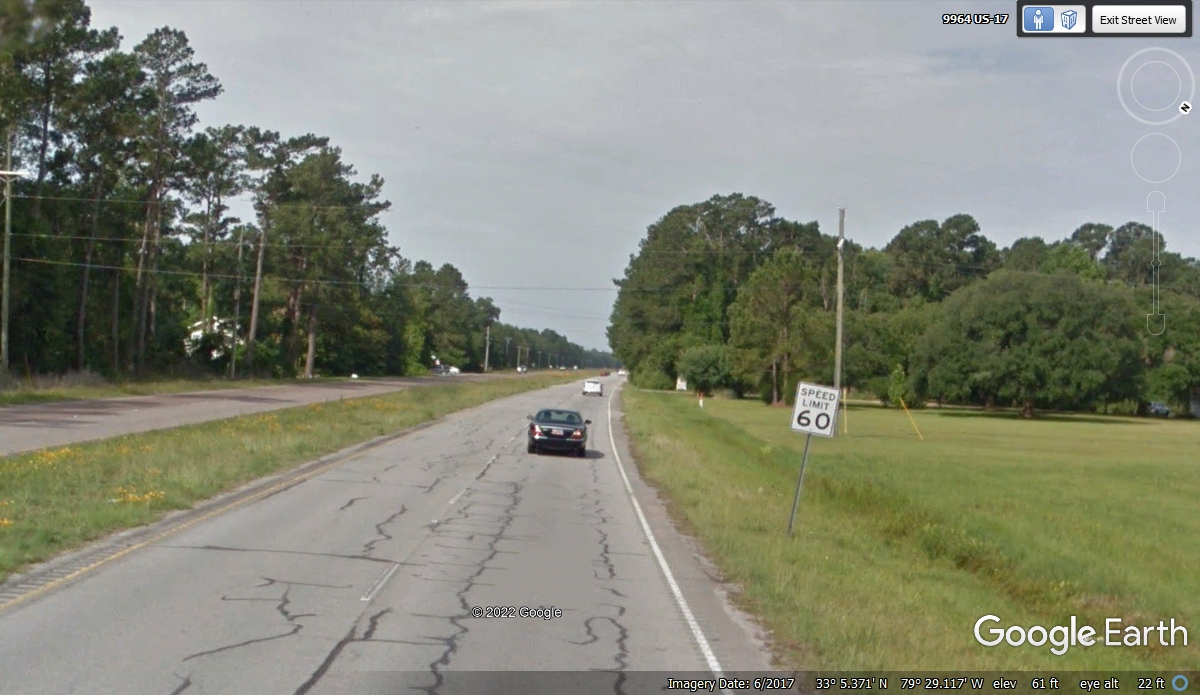
The center median returns after US 17 passes through Mc Clellanville with
speed limit up to a good level for cruising on an open road.
| RETURN TO 2021 VACATION MENU |