October/November 2021 Vacation Day 14 · · PAGE 46.
November 8, 2021: Monday continues
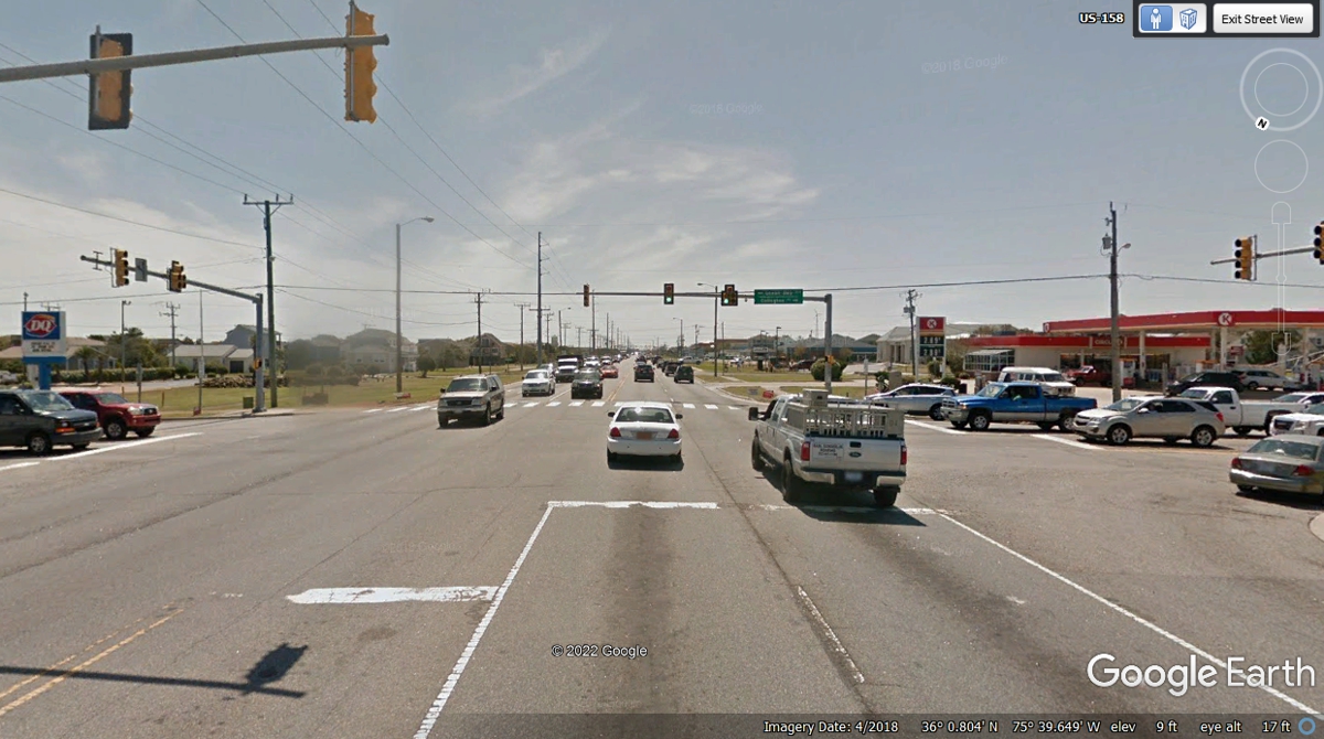
southbound from the Wright Brothers National Memorial as we get on US 158 at
2:27 PM and pass this intersection one minute later. We are
looking for a place to get lunch and did not want it to be from Dairy Queen on
the left of this photo or a snack from the Circle K on the right side.
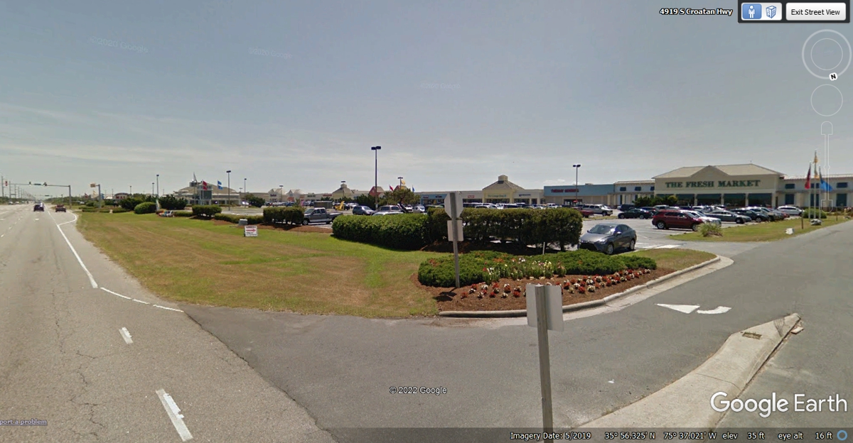
We made a drive through the parking lot of this outdoor mall in Nags Head,
NC and did not see any place we would want to get take-out food for lunch.
We spent about four minutes slow driving past all the stores and restaurants to
get back on US 158 southbound at 2:42 PM.
After leaving the outdoor mall, we saw a food store and an OUTBACK
restaurant along with a store selling beach wear for the tourists. After
that there were two real estate offices and across the road away from the beach
was a FIRE RESCUE facility on the high-ground on the west side of the highway. This image below
is south of the fire station where beach homes are on the left and some open
land with few houses are on the west side of the roadway as we are looking south in
the image below. There are plenty of houses on the west side hidden by
trees and closer to the Albemarle Sound which is west of the barrier islands.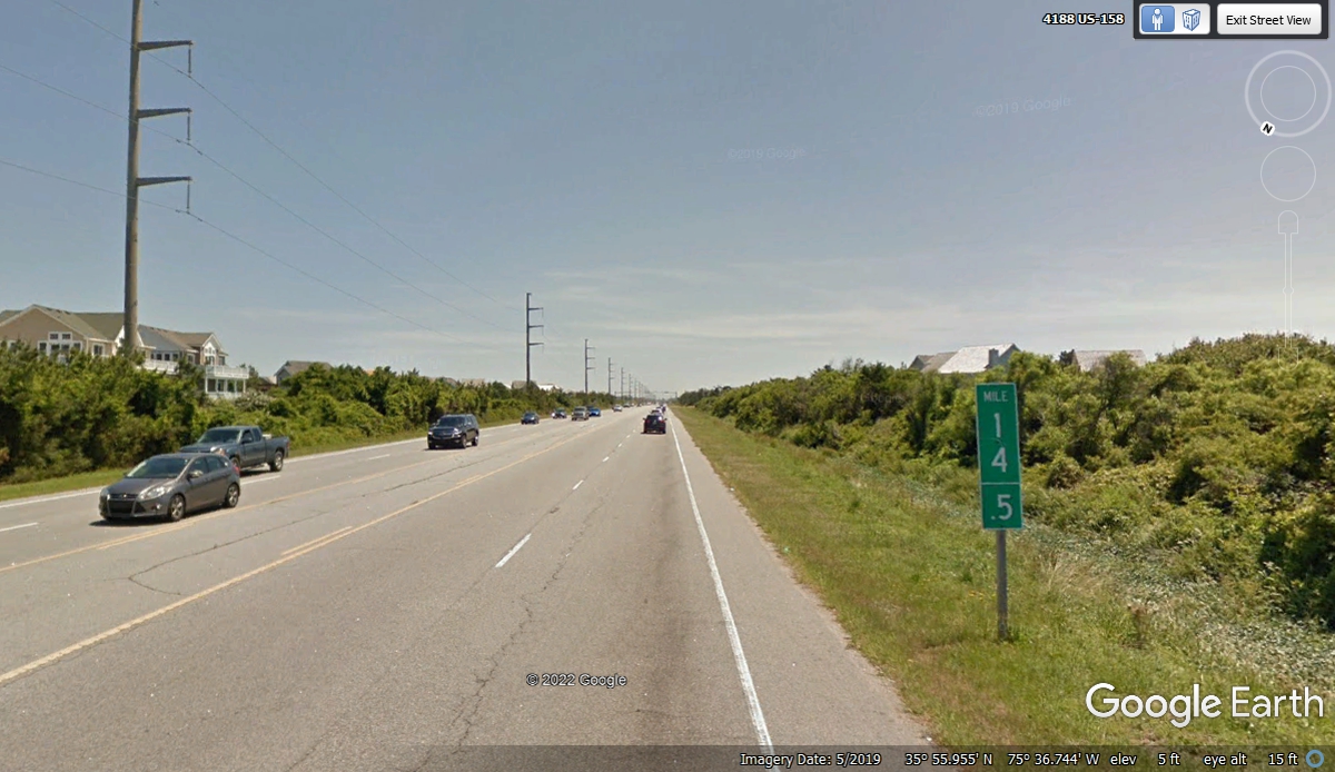
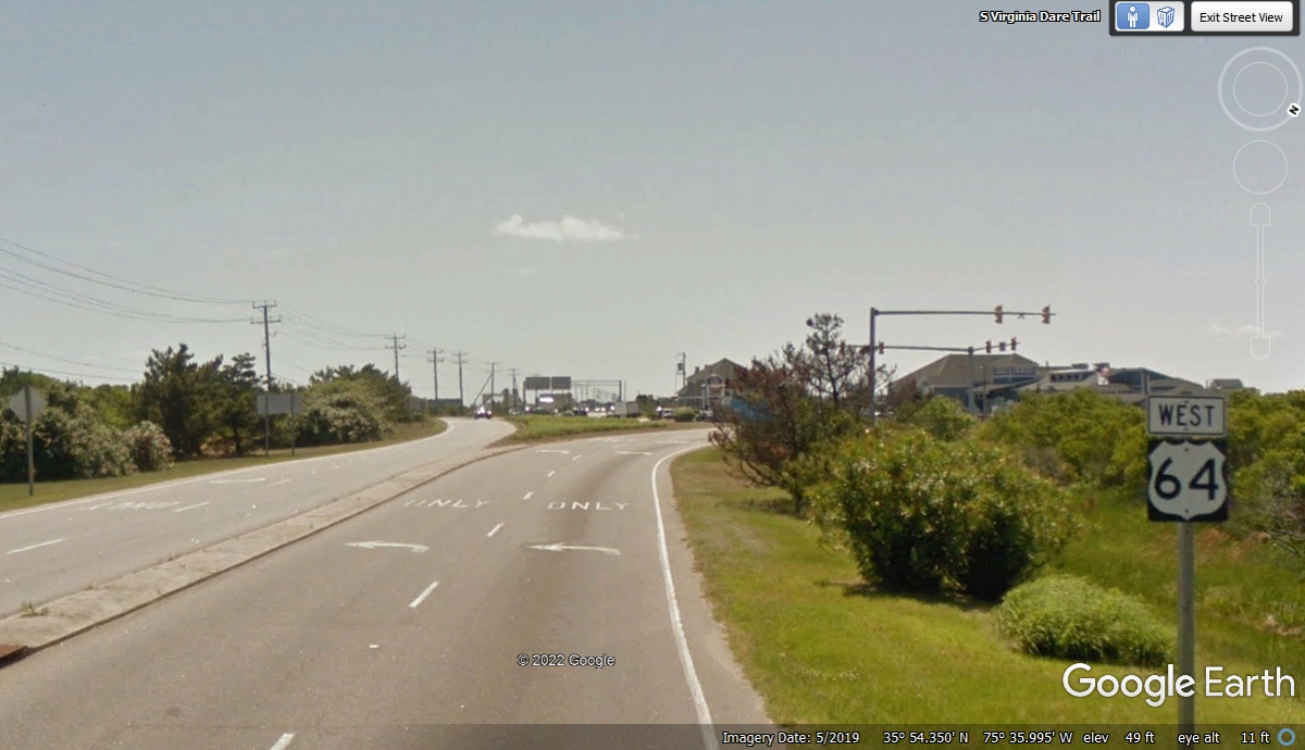
The last mile leading up to this sign about the point where the highways
separate has factory outlet stores of all kinds. We will be heading west to
Manteo, North Carolina. This sign located on US 158 does not mention that US 64
is going west and begins up ahead going to Manteo. Whalebone Junction is
what they call this place. US 64 WEST begins and US 158 ends here.

This US 64 route sign is the FIRST one in North Carolina heading WEST from
the Outer Banks. It is located about 80 feet from NC route 12 on a
connector and is only
seen by traffic turning LEFT from route 12 coming to this intersection from the
south. There are no US 64 route signs south of here that are visible to
northbound traffic on route 12. This sign is on the short connector from
route 12 to US 64 West. Just out of sight around the bend is another US 64
sign.
This US 64 route sign is only seen by traffic using the connector from
route 12 north to US 64 West. Traffic from US 158 sees this sign from the EDGE
making it virtually invisible to that traffic southbound from US 158 getting on
US 64 going west. This is also the place where US 158 East ENDS. The
water behind the signs is the Albemarle Sound which has connections from a
number of tributary rivers in Eastern North Carolina and Virginia. We are
going west and will also visit the airport in the city of Manteo, North
Carolina.

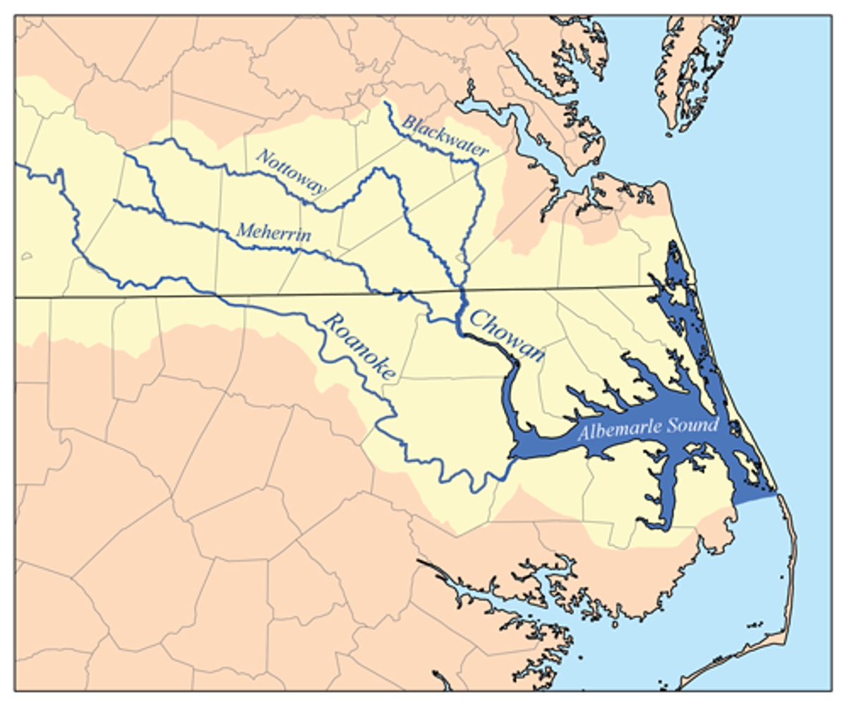
Here is a map seen on Wikipedia showing Albemarle Sound in Eastern North
Carolina and its major rivers from Virginia and North Carolina.
The second
image shows Pamlico Sound with its two major rivers to provide the water.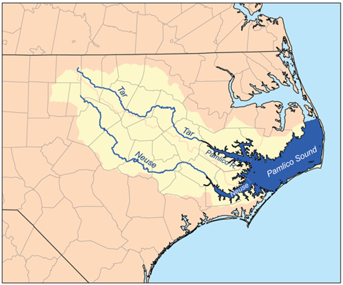
Looking at the top map above there is a straight line where the dark blue of
Albemarle Sound reaches it's south end along a county line. The light blue
water south of that line is the Pamlico Sound inside the remaining Outer Banks
of barrier islands. That straight line is marked by the US 64 long bridge seen
in the 2008 Google Earth image below.
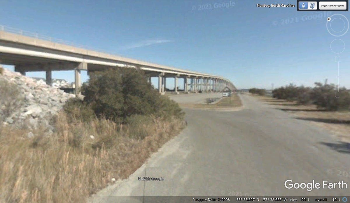
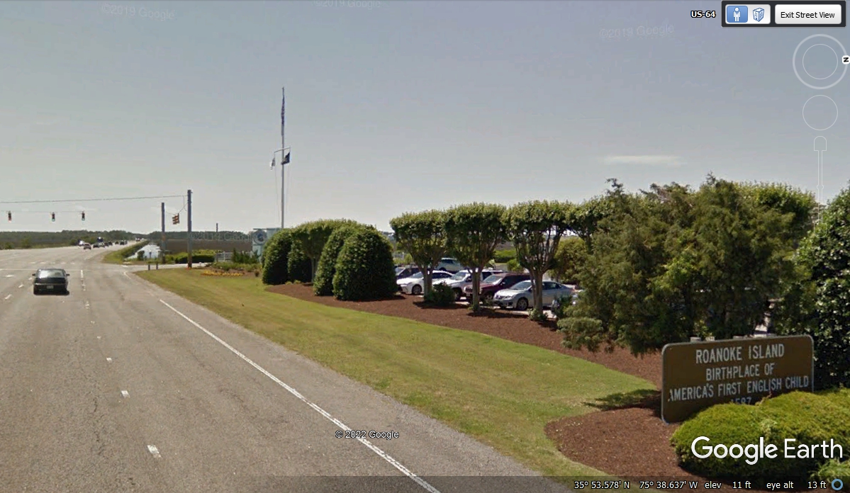
At the end of the bridge seen in the image above, there is the city limit
sign for the town of Manteo, NC. The sign you see below was the next one
you see with a bit of history about the birth of the first child of
English settlers on this island. They named the child Virginia Dare.
This place today is known as Dare County, NC.
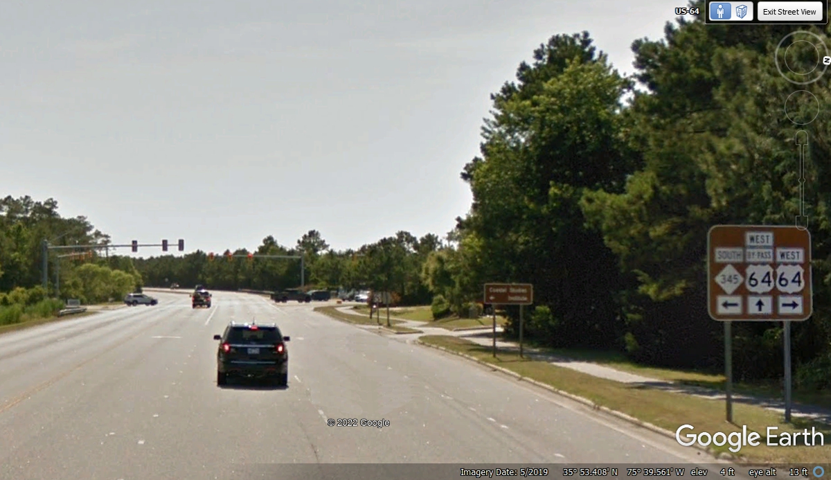
This US 64 route sign is 3.6 miles west of the intersection where US 64
began. It is the first route sign VISIBLE to traffic that turned on US 64
at the END of US 158.
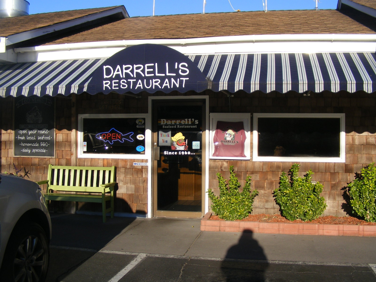
Darrell's Restaurant is about 3/4 of a mile north from the intersection seen in
the photo above. We stopped here for lunch. The food was excellent!

Here is my photo of the front door to Darrell's. That is my
shadow with my baseball cap on my head.
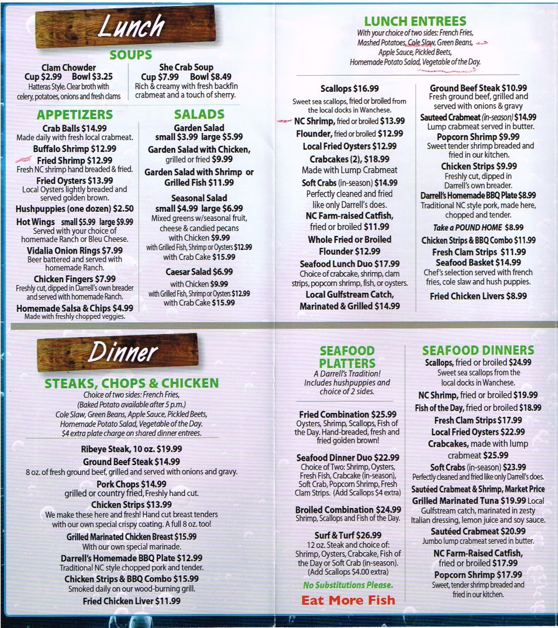
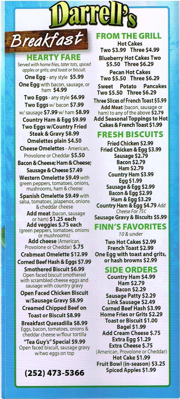
Darrell's Menu has plenty to choose from. We ordered from the LUNCH
ENTREES with two orders of NC Shrimp, one of them fried with cole slaw and
potato salad, and one broiled with cole slaw and green beans. The meal was
delicious. The second menu image below is the outside of the menu. I
put in two of the three folder panels from the inside and outside. The
RED ink marks were made by me when selecting the items we preferred for today's
lunch.
This is the OUTSIDE of the menu.
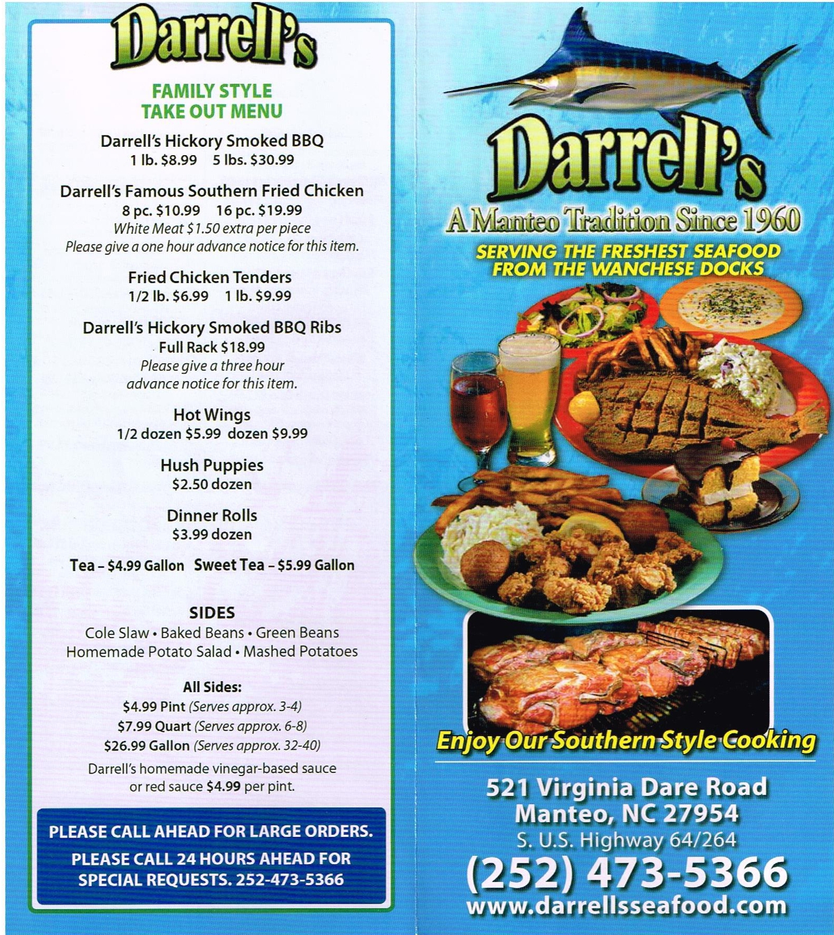
And here are the two panels of the menu that I could not SQUEEZE into the images above.
|
 |
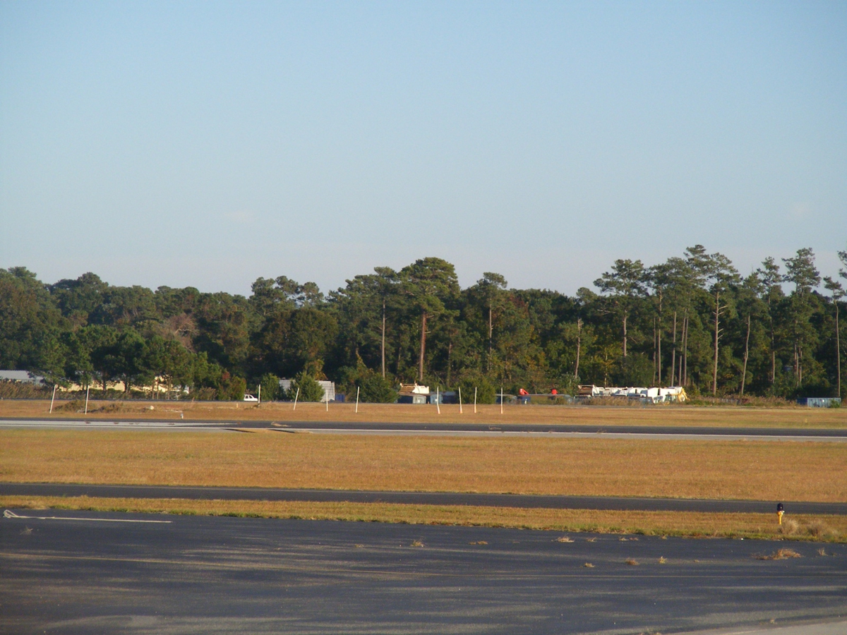
This Google Earth image below was as close as they got to the Airport at
Manteo.
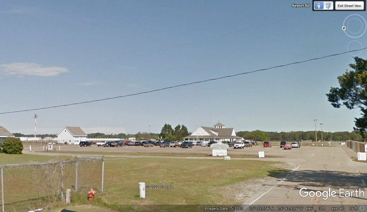
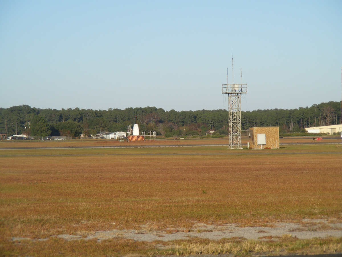
I drove to the airport to get some photos of my own of different areas on
the field. That white cone with a white post on it is a VOR transmitter used
for navigation by aircraft in flight as they pass over or near the
airport. The steel tower has some VHF antennas mounted on it for voice
communications with aircraft in the air or on the ground at the airport. November
8, 2021.
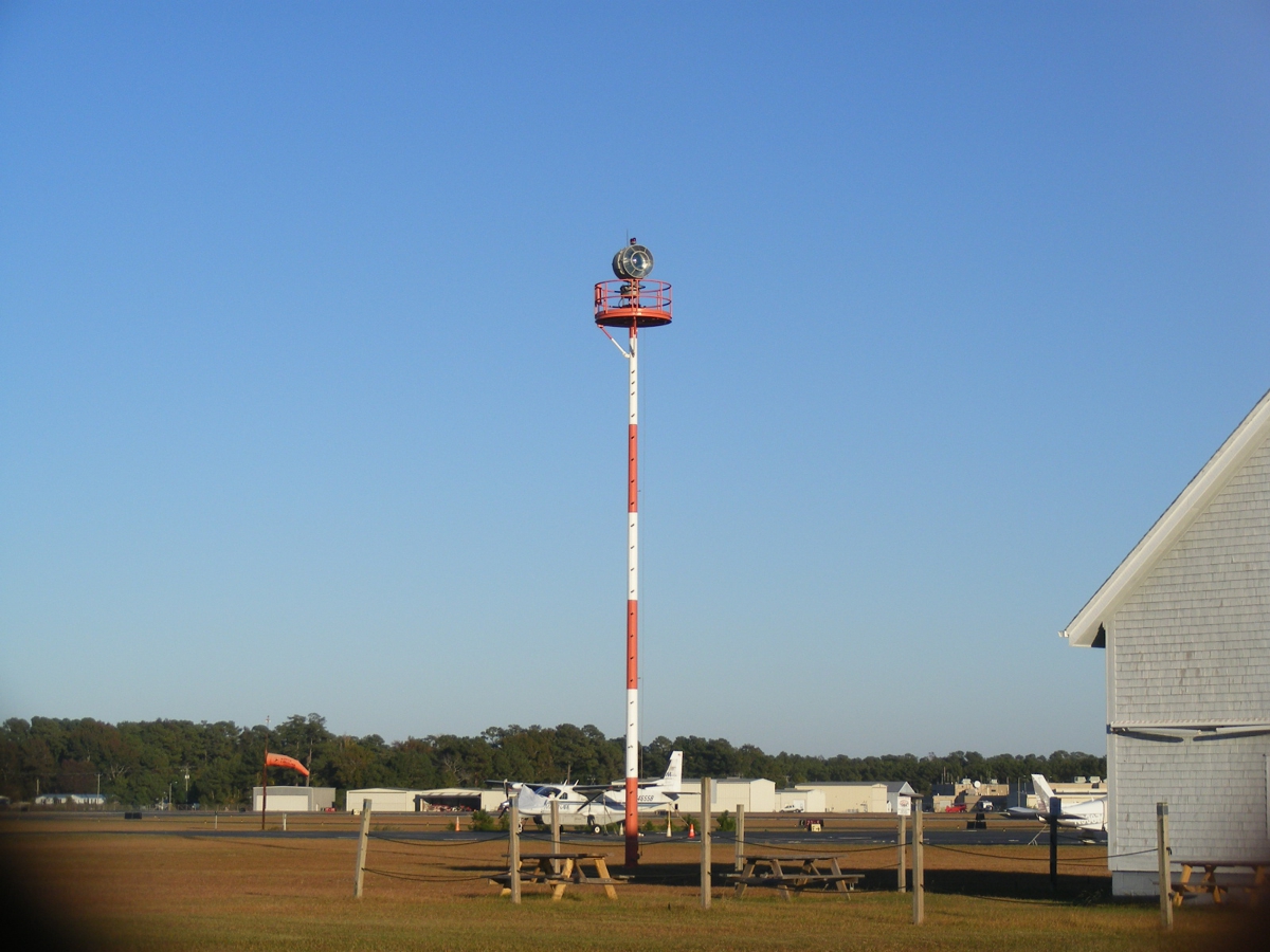
This photo is dominated by a rotating beacon light that flashes Green and
White during night time hours. There is also an ORANGE wind sock that is
visible to pilots flying in the airport pattern for a landing. The
direction of the windsock indicates which way to make the approach into the
prevailing wind on the ground. November
8, 2021.
I took this photo hoping it would reveal a low-frequency transmitter
referred to as a non-directional beacon. Alas, I did not see the antenna
in this image. November
8, 2021.
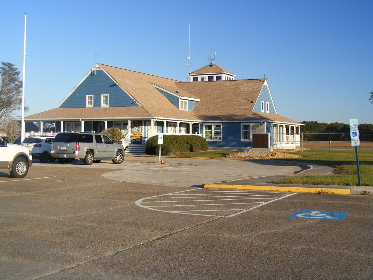
This is the main building of the airport. This airport does not have
scheduled airline service. They do sell AVGAS for propeller airplanes like
mine and JET-A fuel for turbo prop airplanes and helicopters like Jet
Rangers. This building at many small airports usually has a fixed base
operator (FBO). They sell the fuel and rent hangar or tie-down space.
November
8, 2021.
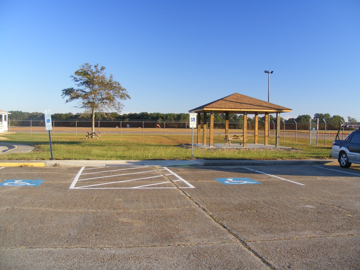
There is a second wind sock on the field for the other runway. November
8, 2021.
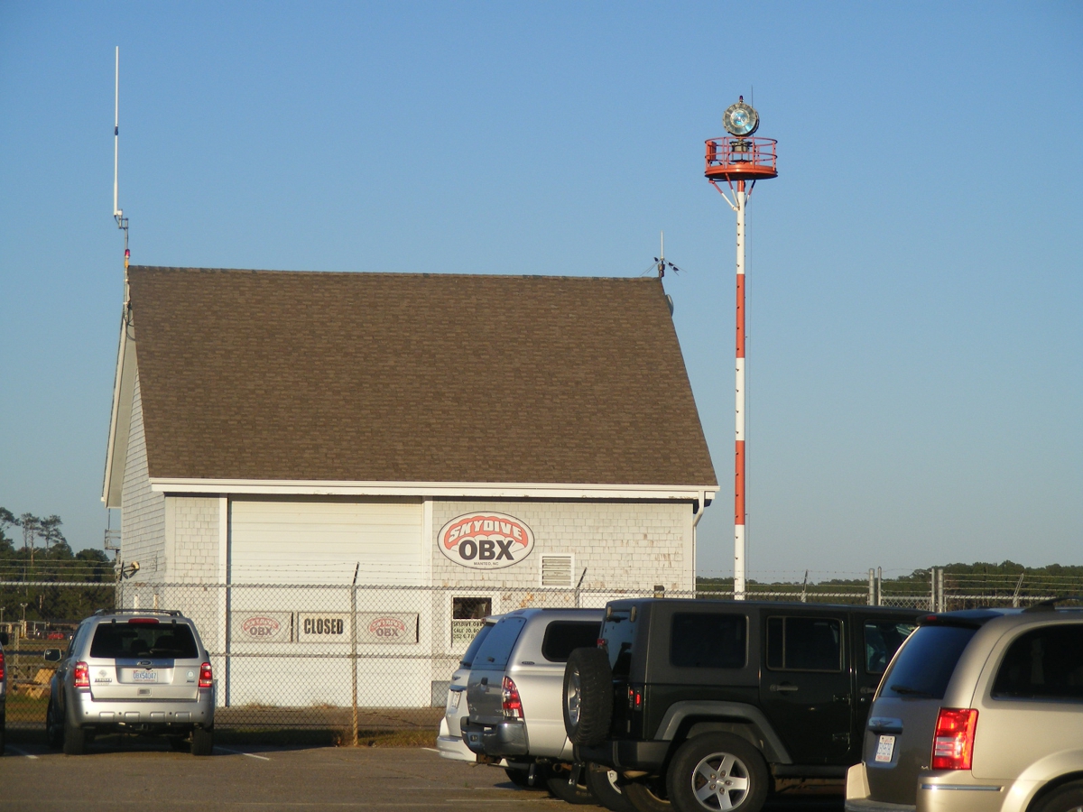
There is also parachute jumping that operates from this airport. The
OBX is probably short for "Outer Banks." November
8, 2021.
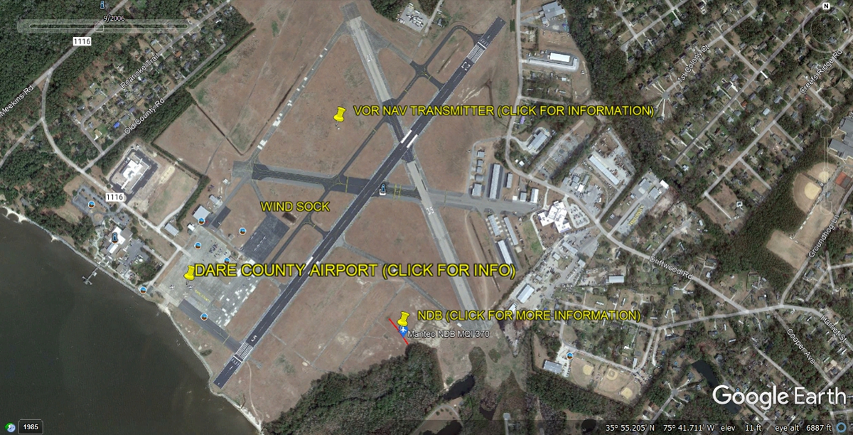
This aerial view from Google Earth has information I gathered to describe
the navigational equipment on the airport. When Jerrie Mock flew around
the world in 1964, this airport was her most important waypoint when she left Columbus, Ohio on
day 1 of her 29-day trip around the world. This location has two
navigational aids to make sure she was on the correct heading going over the
ocean to Bermuda,
her destination on Day 1. This is also the closest airport to Bermuda in
the Atlantic Ocean. All of the yellow push pins only work with the GPS
files I created for use with Google Earth to follow her trip around the
world. They do not work on this image below.
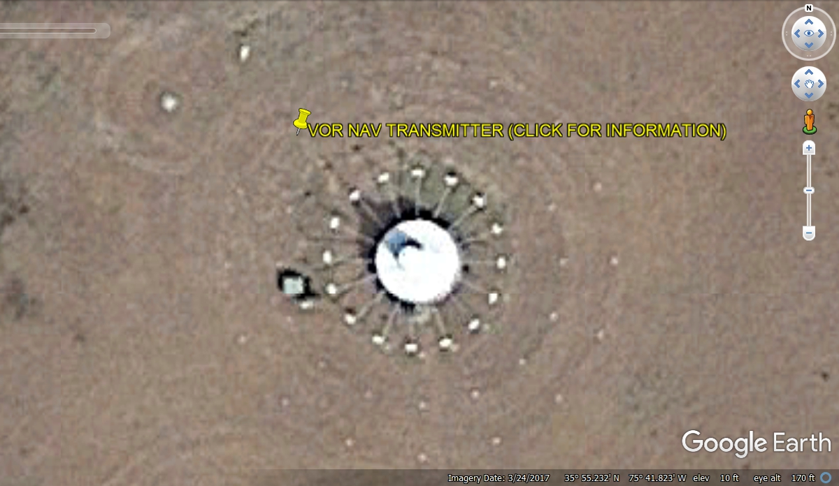
This image of the VOR (VHF OMNI RANGE) has a cone standing up from the
center of the white round building. With the sun coming from the southeast
in this image, the shadow of the cone is visible. Inside that cone is a
spinning directional antenna with an audio signal modulated that is phase
shifted as it rotates to send a signal to any airplane that receives that
signal, to determine what compass bearing they are TO or FROM the
VOR. The white "spokes" around the VOR with the white boxes are
military TACAN (tactical air navigation) antennas to provide a similar service
about "where am I" to the military pilot. The pilot would tune his
on-board navigation receiver to 111.6 MHz to get the VOR signals. Distance
measuring equipment gives the distance TO or From the VOR. Tacan works on
a different radio frequency.
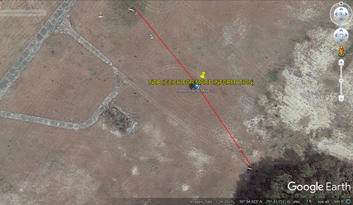
This image shows two white vertical poles that support two long
wire-antennas in a dipole configuration with most of their signal going
NORTHEAST and SOUTHWEST. The transmitter is operating as a Non-Directional
Beacon (NDB) on a low frequency of 370 kilohertz at this airport, operating at a lower frequency
than the AM radio band that is in car radios. That 370 KHz frequency is a clear
channel and can be received several hundred miles away. Jerrie Mock used
the VOR to get a good bearing for her course to Bermuda. She monitored
these two nav-aids as she flew out over the Atlantic Ocean. Bermuda had an
NDB in 1964 but it is not still in service as I create this web page in January
2022. The RED lines show the path of the long wires. These aerial
images from Google Earth can provide additional information when the PUSH PINS
are loaded into Google Earth. I created GPS files and push-pins to install
into Google Earth for those folks who want to FLY the route Jerrie Mock flew.
The total time taking photos at the airfield was 3 minutes. We headed out of the airport back toward US 64 at 4:05 PM.
| RETURN TO 2021 VACATION MENU |