October/November 2021 Vacation Day 10 · · PAGE 34.
November 4, 2021: Thursday is a
sight-seeing day down in southern New Jersey in the area near Cape May, New Jersey.
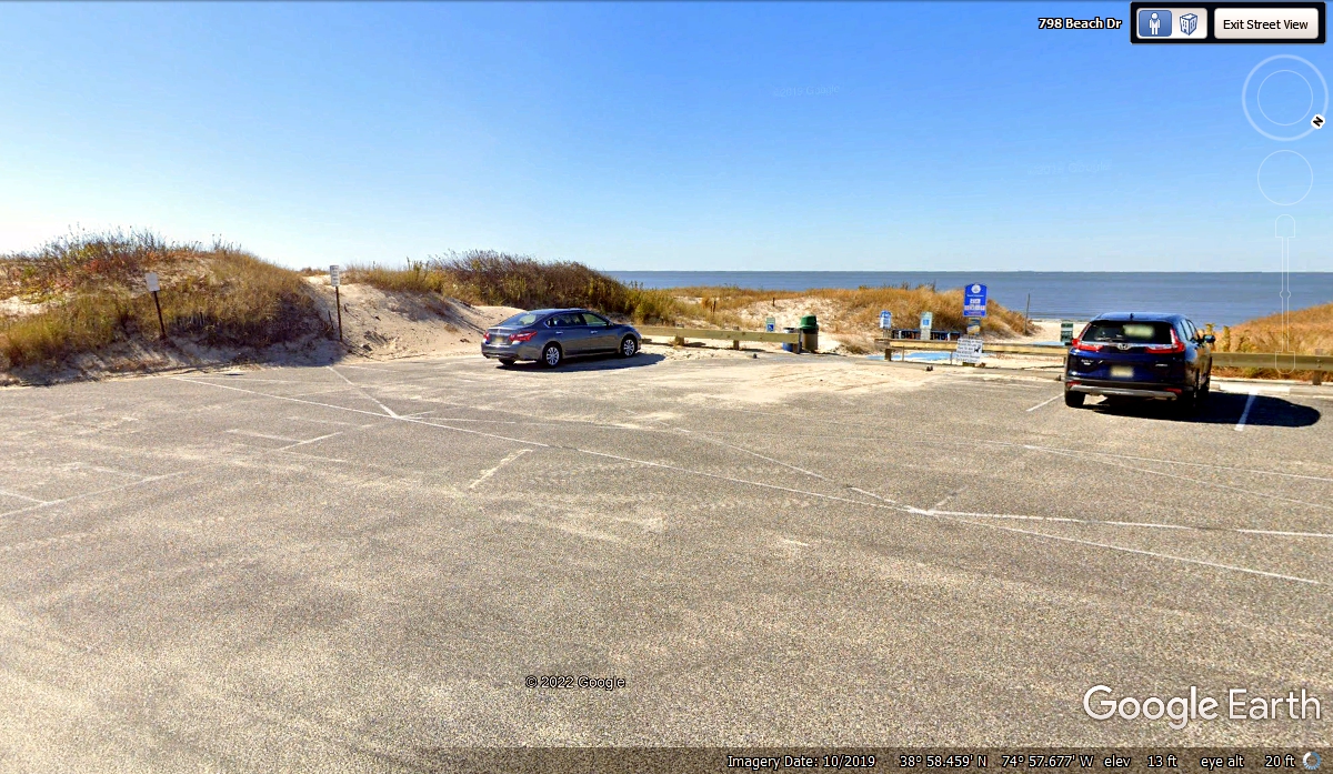
Any extended pavement from the US 9 highway beyond the entrance to the Cape May
Ferry ends here. We are moving from here to a good location to see the
departure of the ferry. Beach Street goes south from here to see the Ferry
from a better location as you will see below.
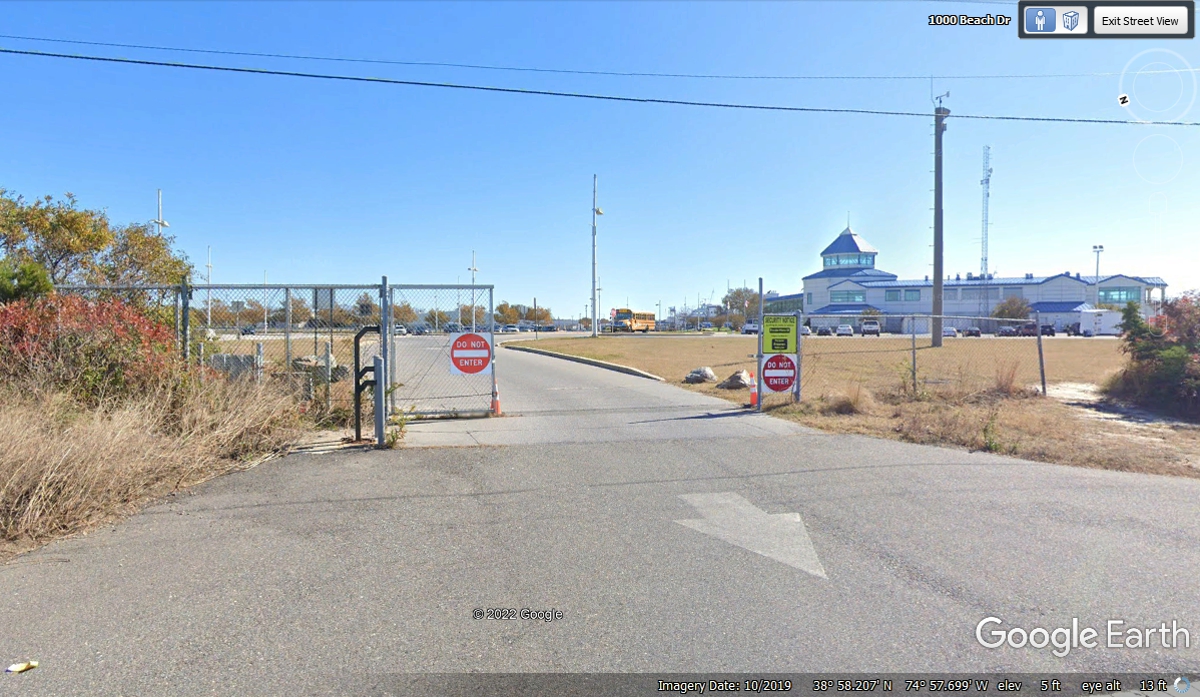
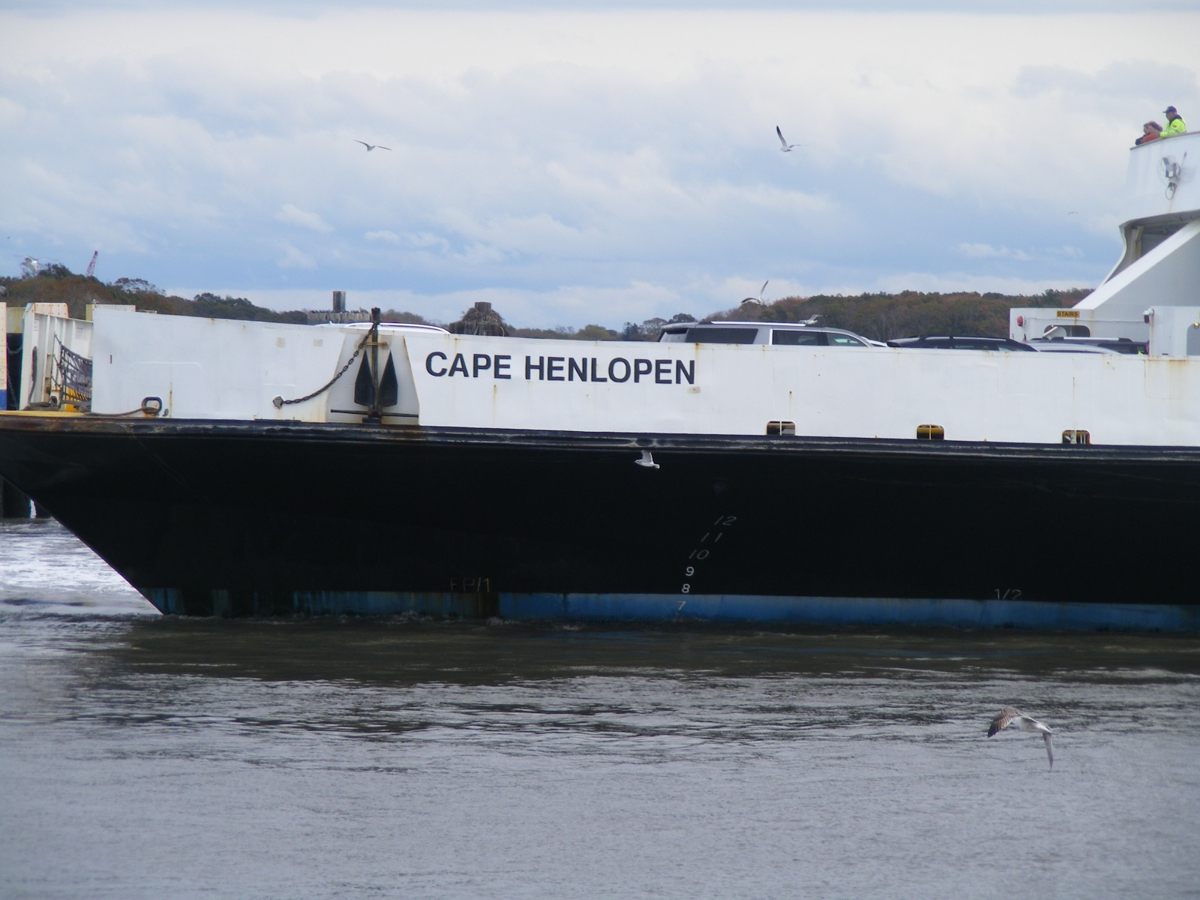
This is the outside of that exit from the ferry terminal area.
I parked our car at the open space at the right side of this Google Earth
image and got out to take more photos with my camera at 1:05 PM.

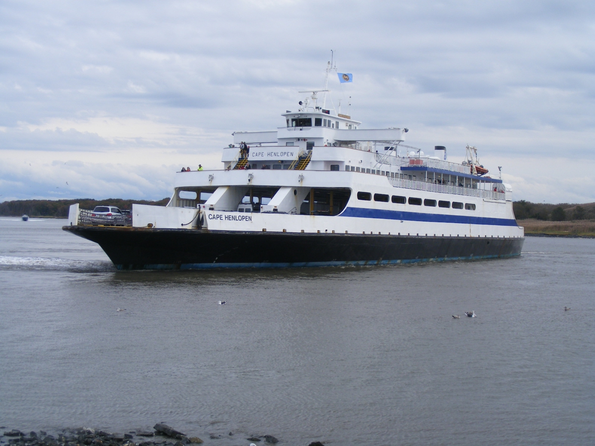
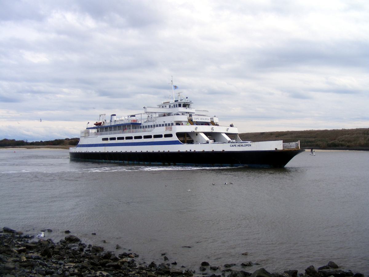
Our timing to arrive at the end of Beach Street allowed me to get photos
of the ferry departing to go to Lewes, Delaware across the bay to the west, November 4,
2021.
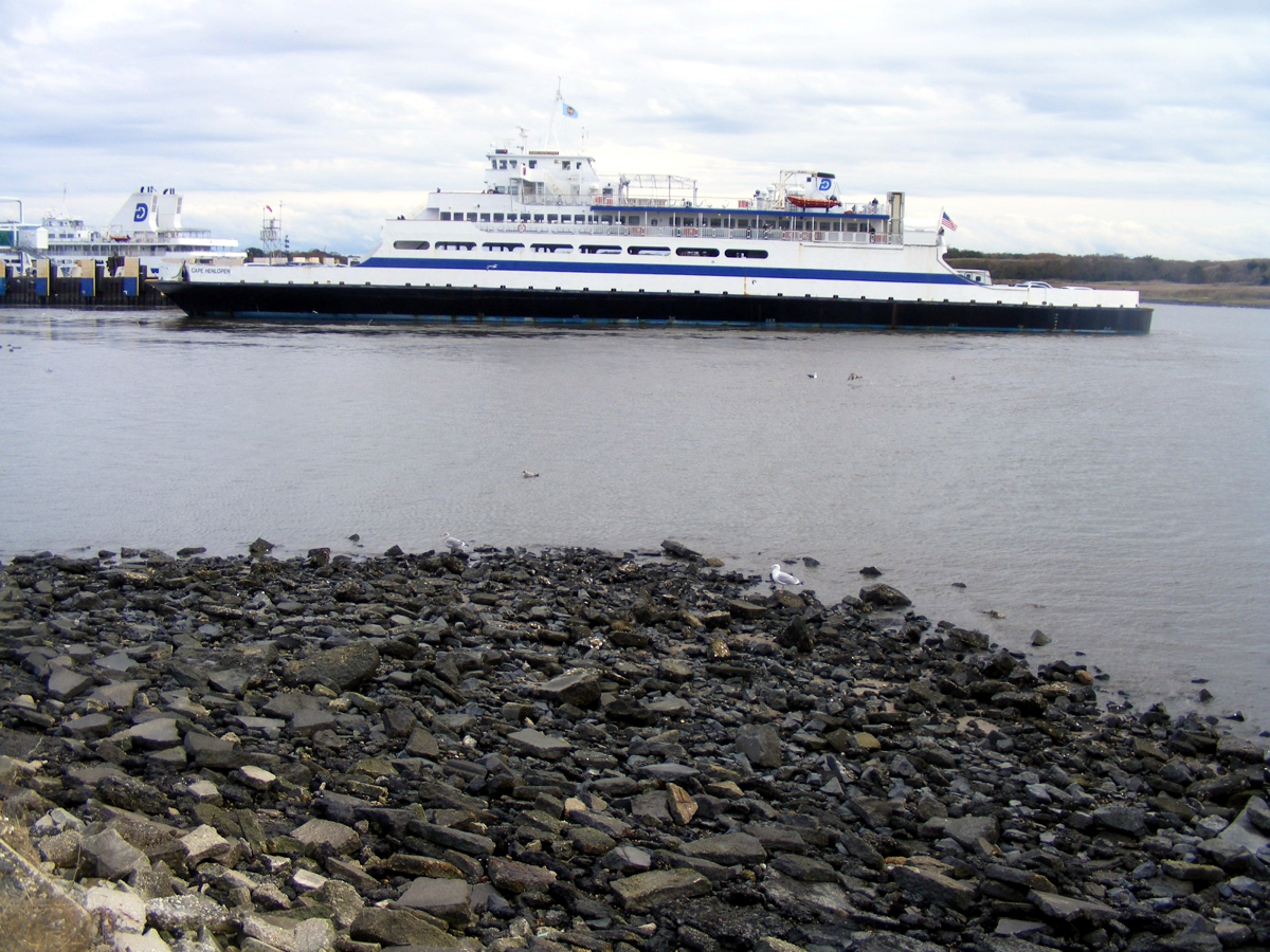
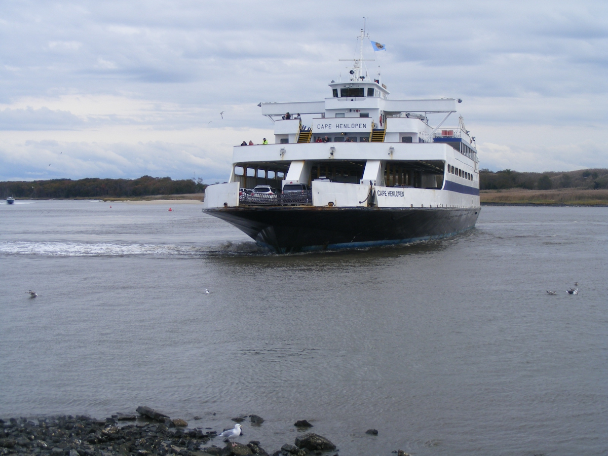
These images may look the same, but the captain is backing away from the
dock slowly. The sea gulls have also moved in flight, except for the gull
standing on the rocks below. November 4, 2021.
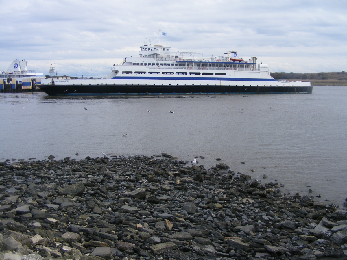
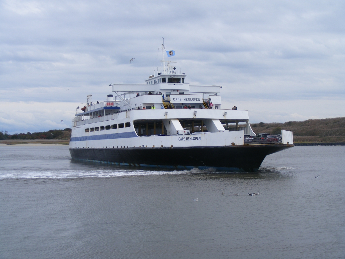
I wanted to be sure to get the name of this ship and of course the two
passengers watching the departure from the dock in their upper level position on
the boat. My camera zoom lens and anti-shake control gets this done.
November 4, 2021.
The captain is turning the ship to bring the bow toward the exit from the
harbor. November 4, 2021.
Continuing to turn toward open water. November 4,
2021
From this view angle, the wake from the side thruster in the bow is now
visible. November 4, 2021.
The wake from the side thruster in the bow is less now as the ship begins
forward movement. We departed this view point at 1:18 PM, November 4,
2021.
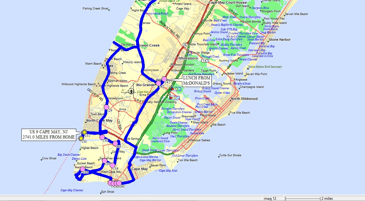
This is an overview of the area we toured in the Cape May area of southern
New Jersey. All the colored dots tell this map program of our exact
itinerary. The blue lines are GPS ground tracks providing many details.
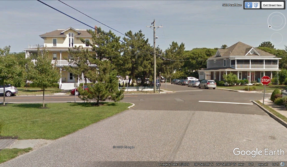
We drove through some residential areas at the south end of the area to
see some modest older homes, and these more elegant locations.
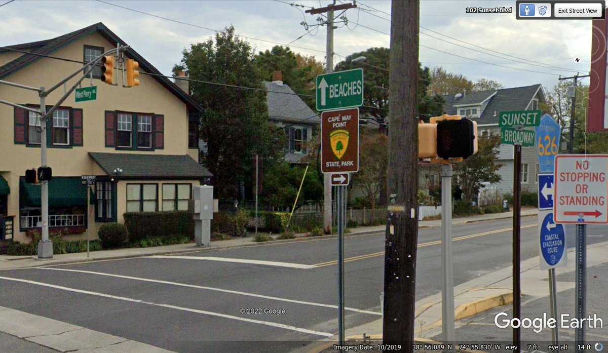
Broadway is a north/south road that comes from town to the beaches.
Sunset Boulevard is an East/West road that goes to Cape May Point State
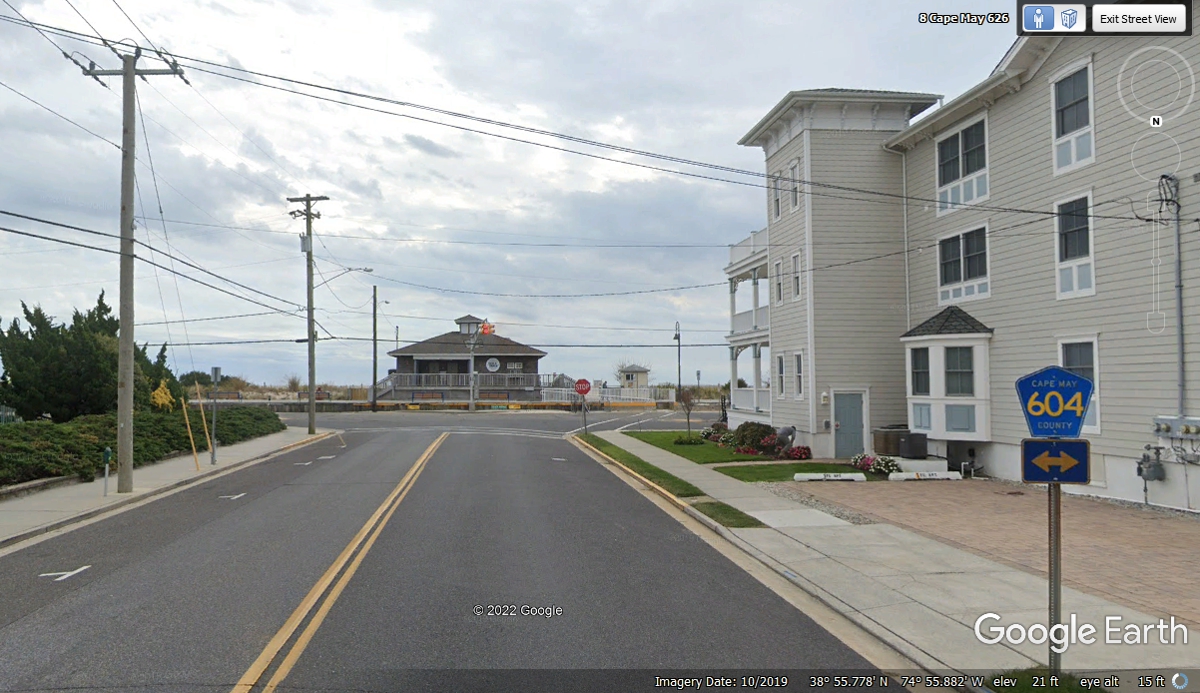
Park. We turned right at this corner to get to the beach.
We got to Beach Avenue at 1:58 PM and turned left to see the beach area.
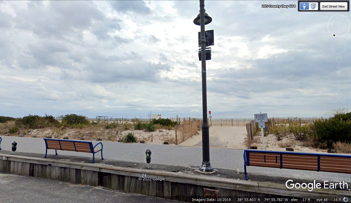
The in this part of town is at the southernmost point of New Jersey.
The beach is about 2.25 miles in length. Parking meters and park benches
populate the sidewalk with beach access points like this one along Beach Avenue.
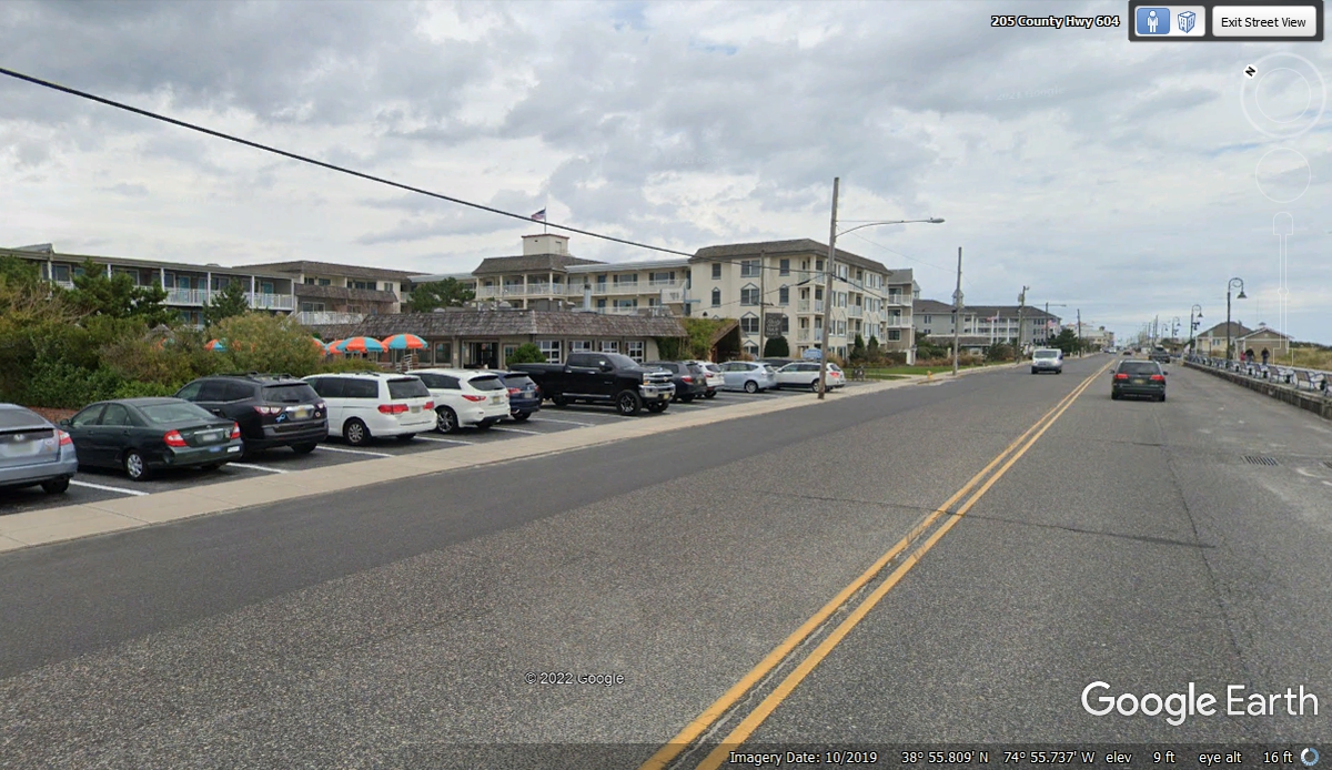
A large part of Beach Avenue is populated with motels and restaurants
toward the East end of the beach.
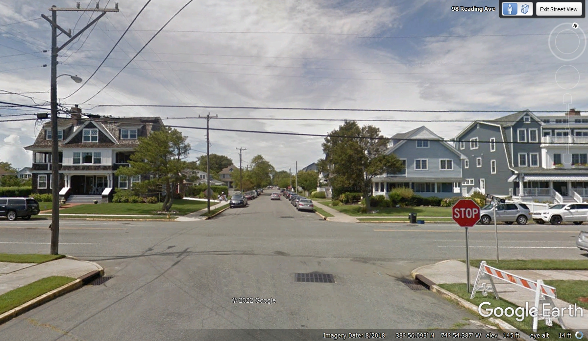
We turned onto Reading Avenue to leave the beach behind going north on the way
to highways leaving town.
At the end of Reading Avenue a couple of zigzag turns were needed to get
over to a commercial street that leads to the state route to get us going north
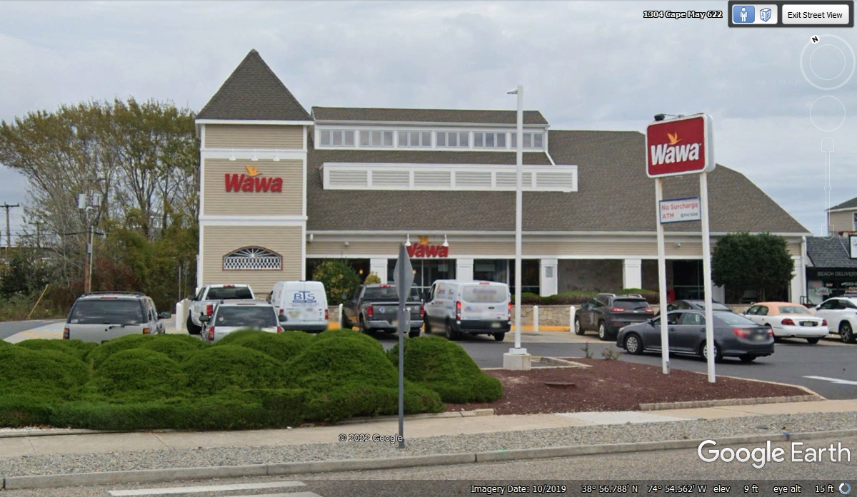
again. This Wawa convenience store is the first one I have seen that does
not sell auto gas. Wawa is popular in southeastern Pennsylvania and has
invaded central Florida in the past ten years. We turned left here to get
to the next turn of the zigzag through this area.
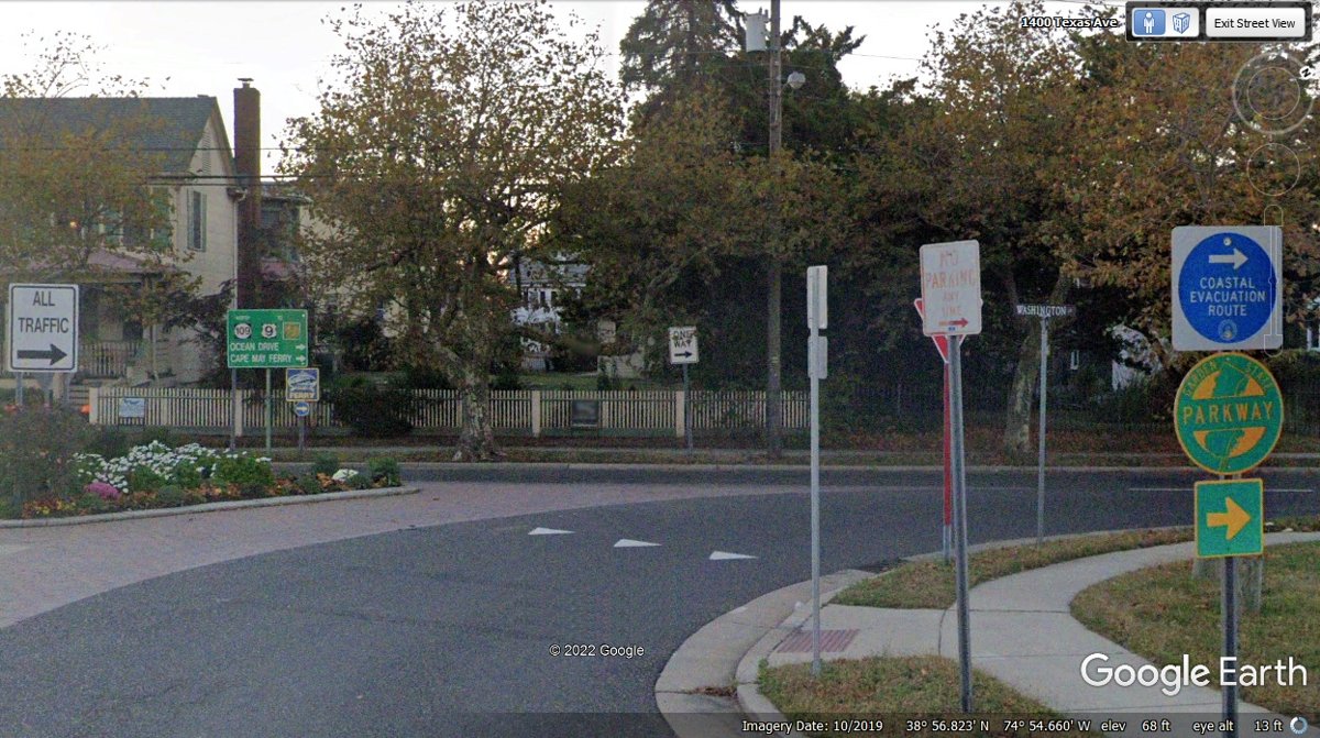
I noticed a few streets with state names coming from Beach Avenue to this
location. The big state of Texas has its name on a very short street here
in Cape May. The ONE WAY sign points the way to everything from here.
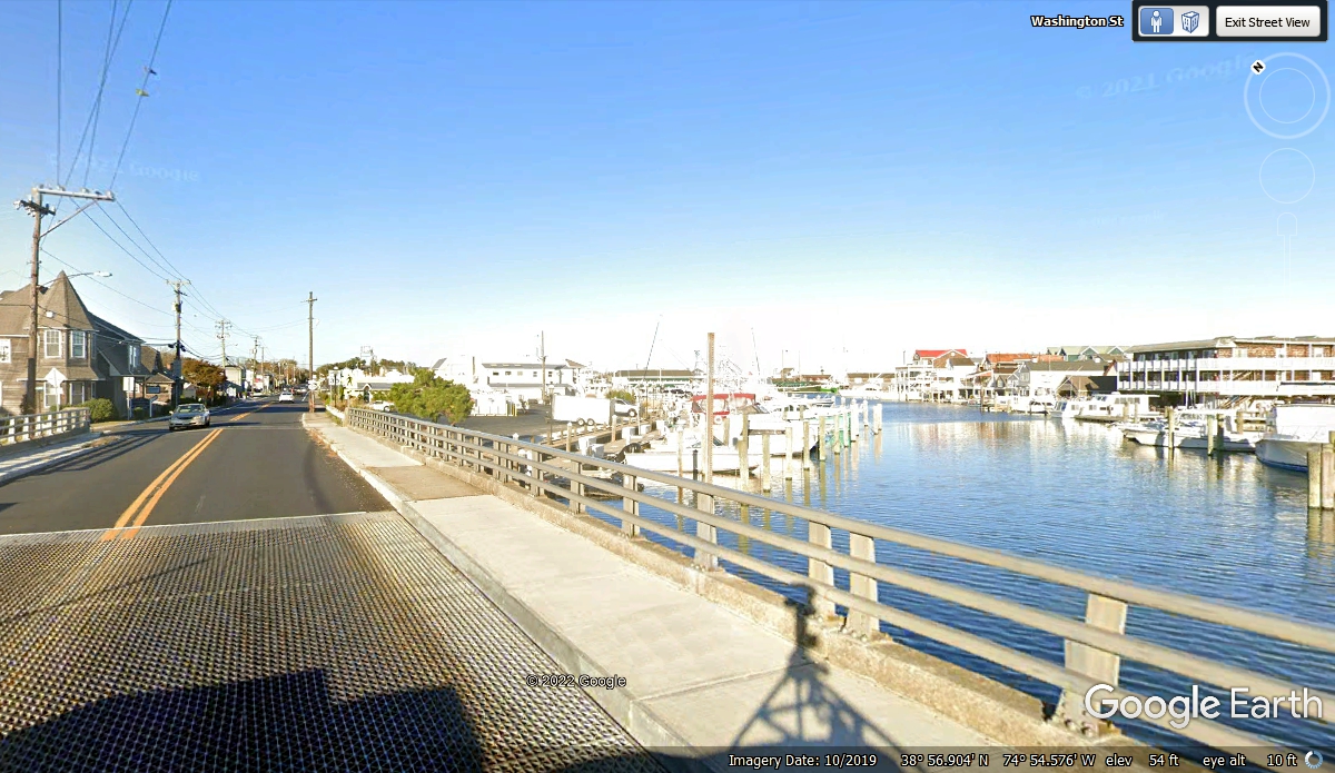
Washington Street going north passes by the Cape May Harbor as NJ
Route 109. This part of the harbor has access to the Atlantic Ocean.
This road on the other side of the bridge is the direction to get to US 9 and
continue north.
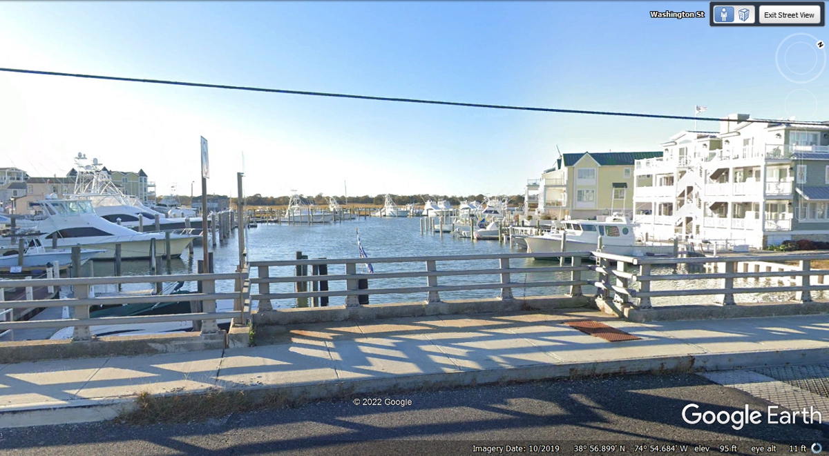
This is the view looking WEST along the local canal that turns north for
about half a mile, then joins an East/West canal that goes all the way to the
Cape May Ferry location on the Delaware Bay (WEST) side of the peninsula.
There is another bridge north of here on this highway Route 109.
This second bridge on NJ route 109 is half a mile north of the first
bridge down at the harbor. This bridge has higher clearance for larger
boats and ships.
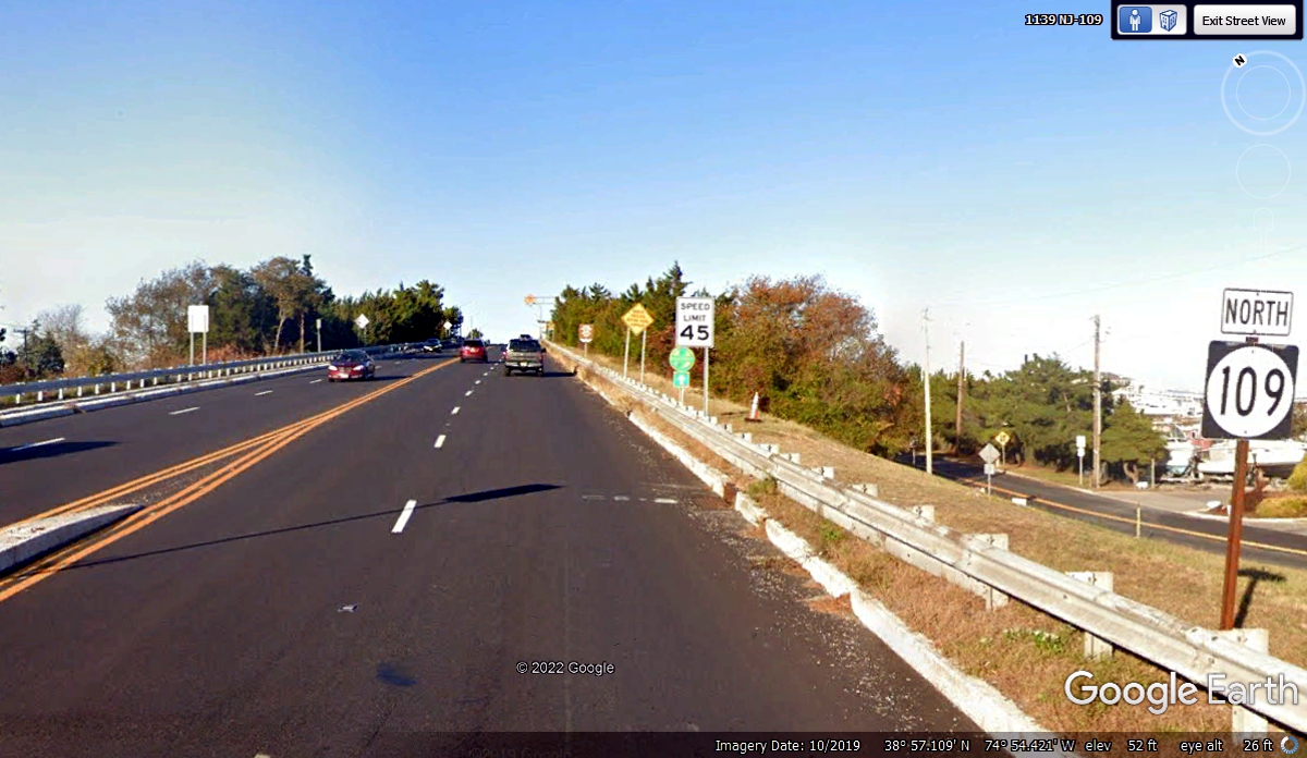
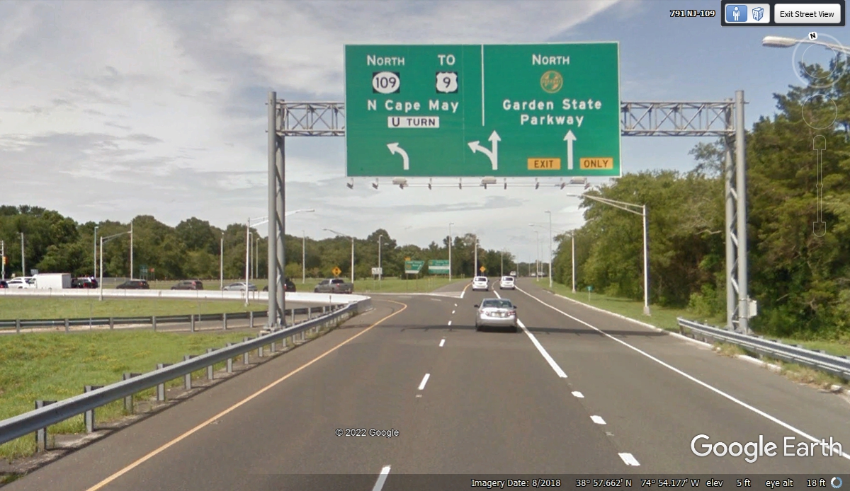
NJ Route 109 crosses the higher bridge then heads for US 9 ahead. We
passed through this intersection at 2:14 PM.
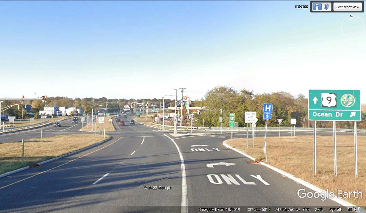
The Garden State Parkway toll road heads north, but we want US 9 for local
travel going north.
| RETURN TO 2021 VACATION MENU |