October/November 2021 Vacation Day 10 · · PAGE 33.
November 4, 2021: We are not leaving
New Jersey today as we are going down to the southern end of the state to see
the ferry that goes over to Delaware. The GPS recorded the first data
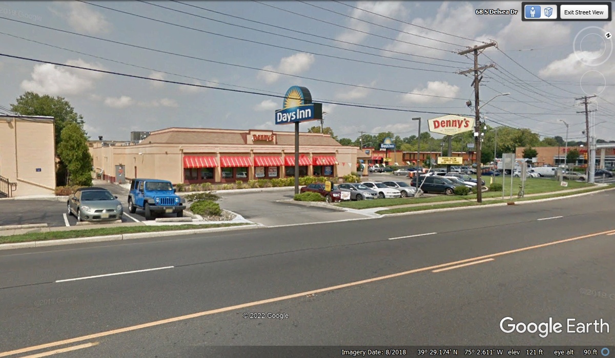
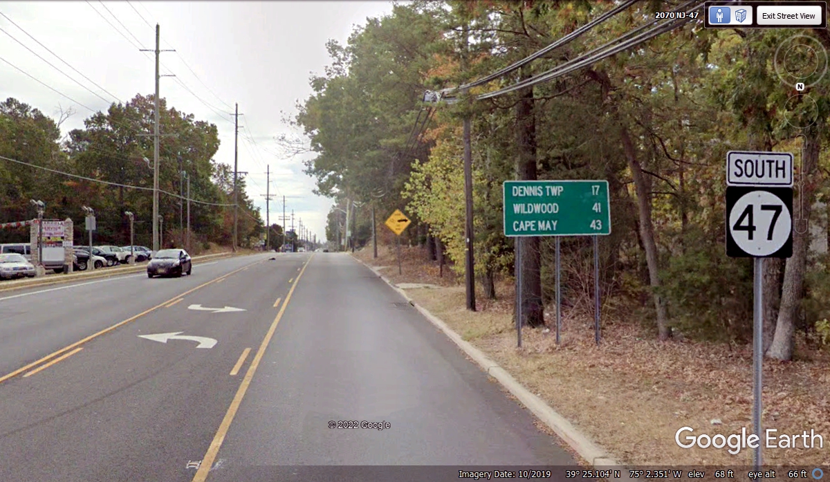
point today at the motel at 11:21 AM. New Jersey route 47 passes by the
Days Inn where we are staying for two nights. That route goes down near
the southern tip of New Jersey. US 9 goes to the dock where the ferry runs
over to Delaware. The end of US 9 is in Delaware on US 13 just north of
the town of Laurel, Delaware.
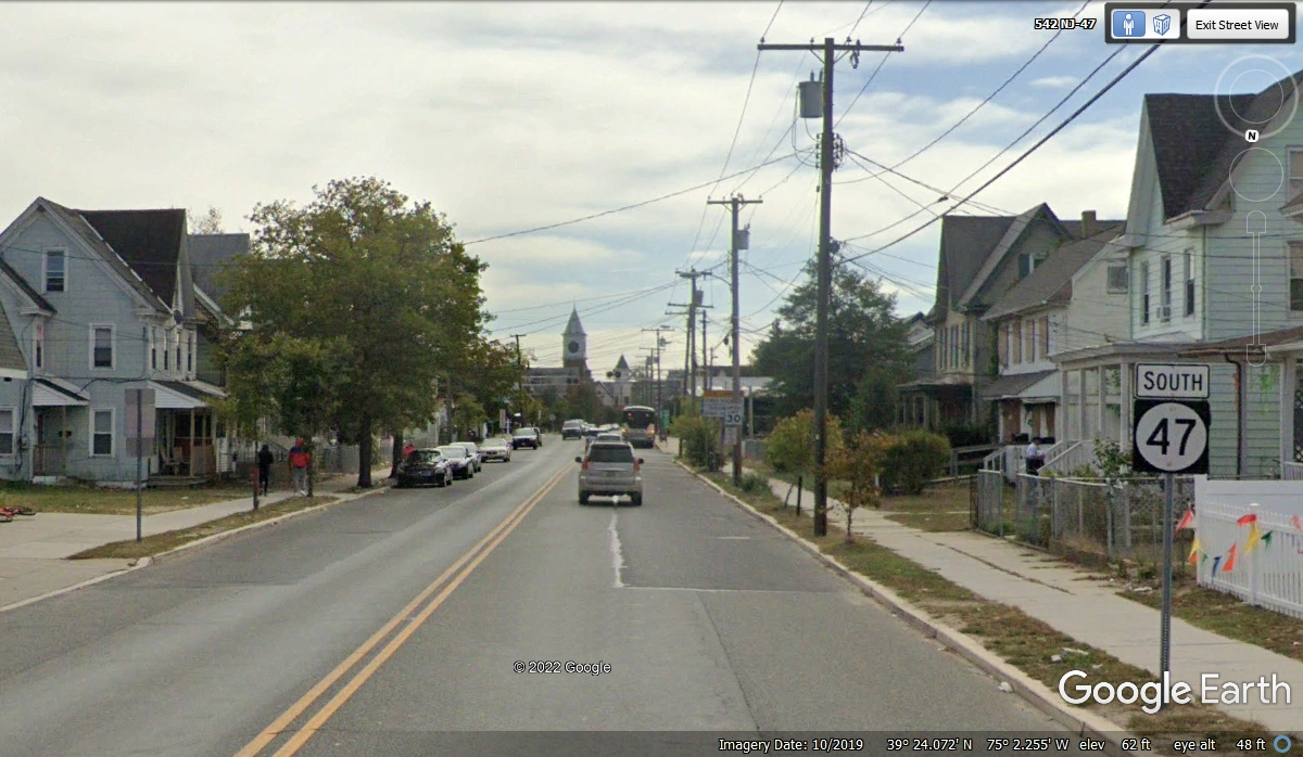
Route 55 brought us quickly to the road to Vineland, NJ where our motel is
located today. It bypasses the next town south of here, so I decided I
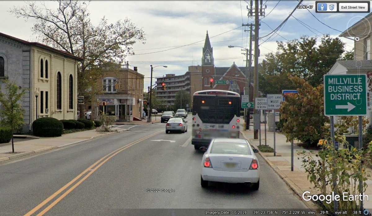
would go through the town of Millville, NJ to see what is there. We are on
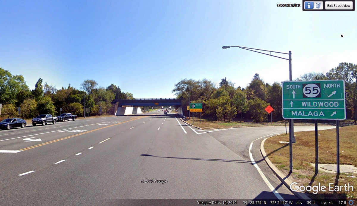
route 47 which had a number of franchised restaurants and big box retail stores
on the north side and south side of the intersection south of Vineland seen in
this image below. Wildwood is a town in the south end of the state we will
see later today. We passed under the overpass seen here at 11:42 AM.
My old digital map showed route 47 going south on a street one bock west
of the street shown here. My GPS kept me on this street just one minute
later than passing the overpass seen in the photo above.
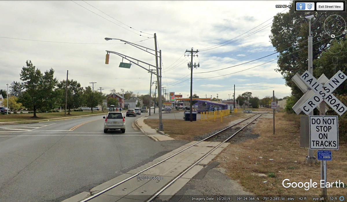
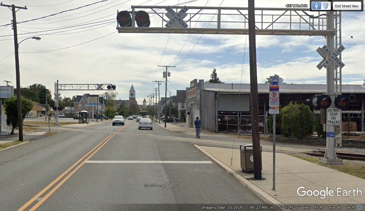
This railroad track crosses NJ 47 before getting to the main part of
town. Note that there are no warning lights or bells here. We passed by
this railroad crossing at 11:44 AM
The same railroad track seen above crosses over NJ 47 again before
reaching the center of town. This crossing has flashing lights and bells,
but no gates to block traffic. We passed the second crossing at 11:45 AM.
I noticed as I came down this street, a number of stores had their back
doors on this route, and faced the other street one block west and parallel to
this street. There are plenty of old homes here with two and
three-stories.
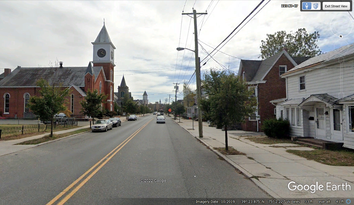
The houses are getting larger as we approach the church and the center of
town of Millville, NJ.
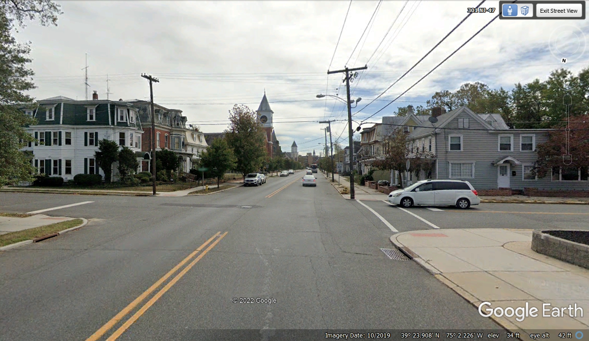
There appear to be FOUR churches on route 47 heading south toward the main
part of town.
I did not notice the business district sign when we drove through town on
November 4, 2021 at 11:47 AM. I am creating this web page on January 9,
2022 and decided I should take a look at the other main street one block to the
west of route 47. We passed these locations rather quickly as there was
not much traffic on this day.
This Google Earth image is from the corner of MAIN STREET looking ahead to the
East. What appears to be the tallest building in town is Jaycee Plaza.
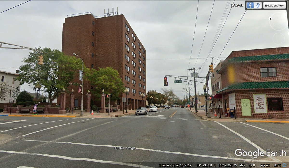
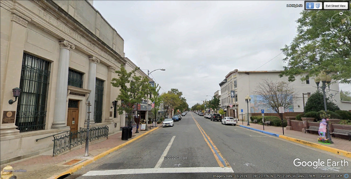
The primary business street in Millville is this one named "HIGH
STREET", the old NJ route 47. The Millville National Bank is on the
corner of Main Street, NJ route 49. Google Earth has marked this image in
the upper right hand corner with the address of "1 High Street", which
probably came from the US postal service.
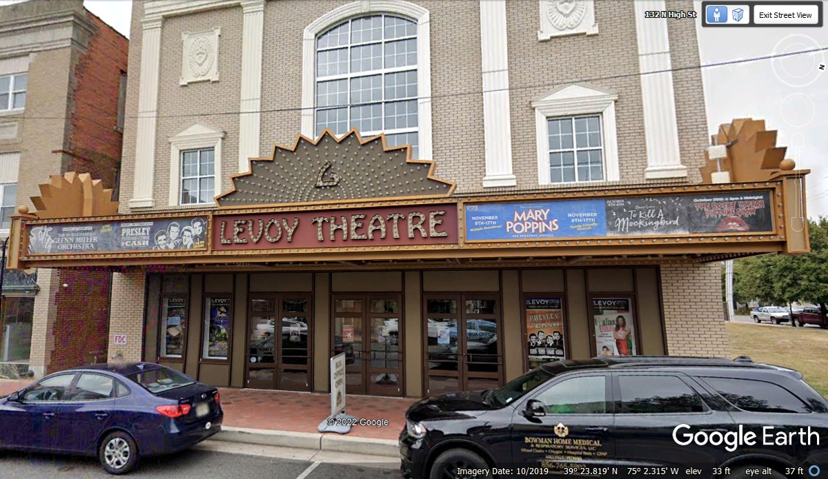
This classic old movie theater is still here on High Street, the old route
47 through town. Sometime in the past, the city council and the NJ
Department of Transportation agreed to move the heavily traveled NJ Route 47 one
block EAST of High Street to keep the big trucks out of the center of
town. The Levoy Theatre is at 132 North High Street. Take note of
the Canadian/British spelling on the sign for the word "theater" in
American English.
No doubt about this building being the US Post Office also on High Street
with a couple of mail delivery trucks out back and the classic architecture of
the building.
This image is from the intersection of NJ 49 and NJ 47 as we resume our
southbound path to the south end of New Jersey going to see the Cape May Ferry.
This apartment building south of the Methodist Church is the second
tallest building in town.

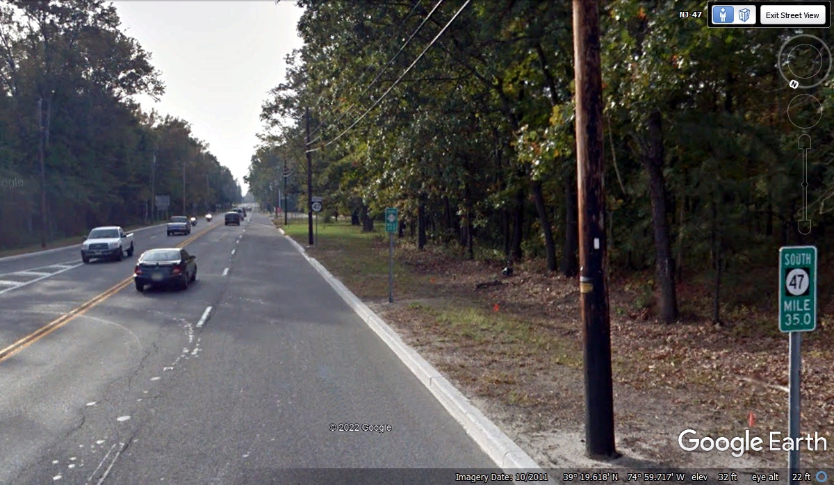
This is where NJ Route 55 comes to an end. It serves at the bypass
around Millville, NJ. The mile marker shows 35 miles to the beach on the
Atlantic Ocean near Wildwood, NJ. We passed this junction at 11:55 AM
heading south.
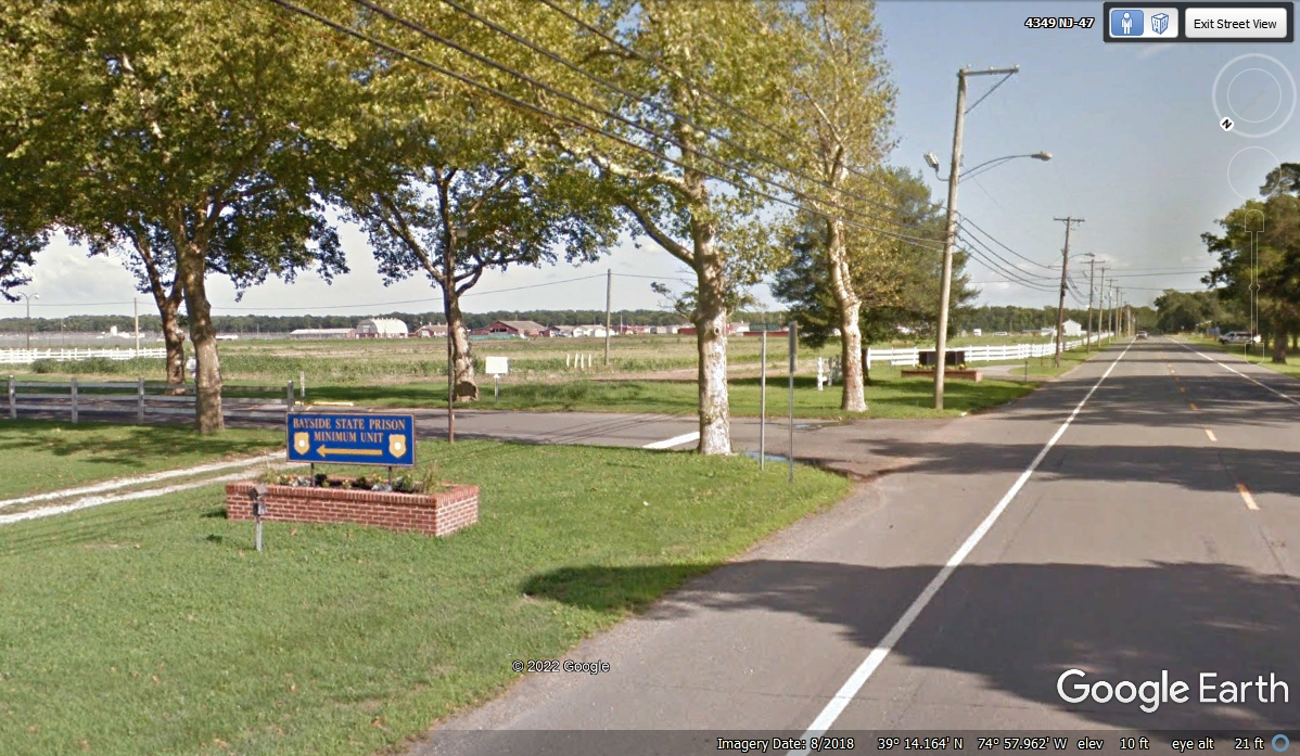
Just south of mile marker 28 we passed by a minimum security state
prison. The sign says BAYSIDE STATE PRISON, MINIMUM UNIT. We passed
this way at 12:04 PM when we were going south.
This information below is about this facility and comes from the NJ Department
of Corrections web site:
Bayside
State Prison is situated on approximately 1,148 acres of woods and farmland in
rural South Jersey, approximately 17 miles south of Vineland/Millville. The
prison complex consists of three operational units, which includes a satellite
unit at Ancora. A full range of employment opportunities exists for the inmates.
Educational and vocational training, medical and dental care, psychiatric,
psychological, and social services are available and offer a variety of
rehabilitation programs.
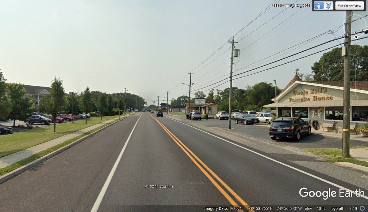
We got off NJ route 47 at Bay Shore Road, also known as County Road 603
with GPS guidance to a place where we could get a view of Delaware Bay south of
this location..
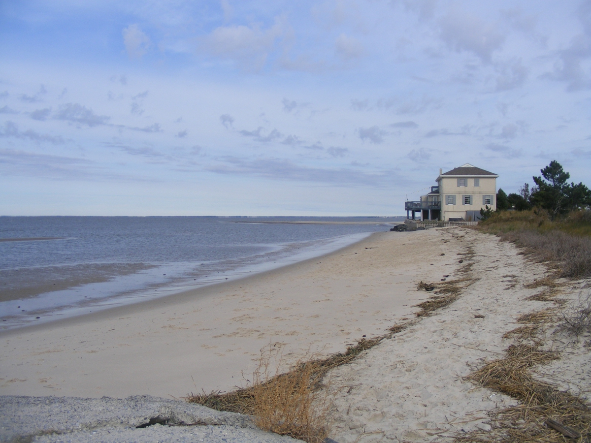
Google Earth sent their camera car out to the end of Millman Boulevard
at a place called Norbury's Landing with a scenic view of the southern end of
Delaware Bay. This is the end of Millman Boulevard where I took some
photos of the shore line here. We arrived here at 12:35 PM.

I took this picture when I walked to the edge of the sand on the north
side of the street. The view is looking north up the Delaware Bay. November 4,
2021
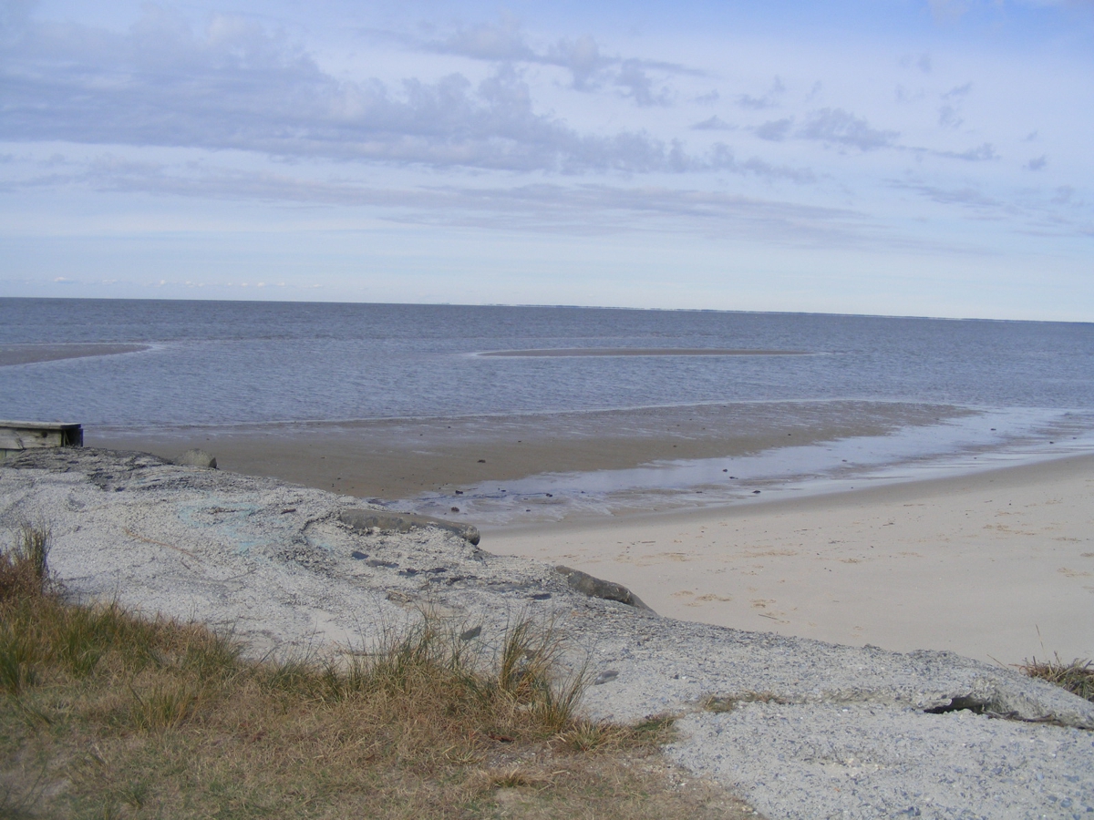
Sand bars and shallow water are in this area. November 4,
2021
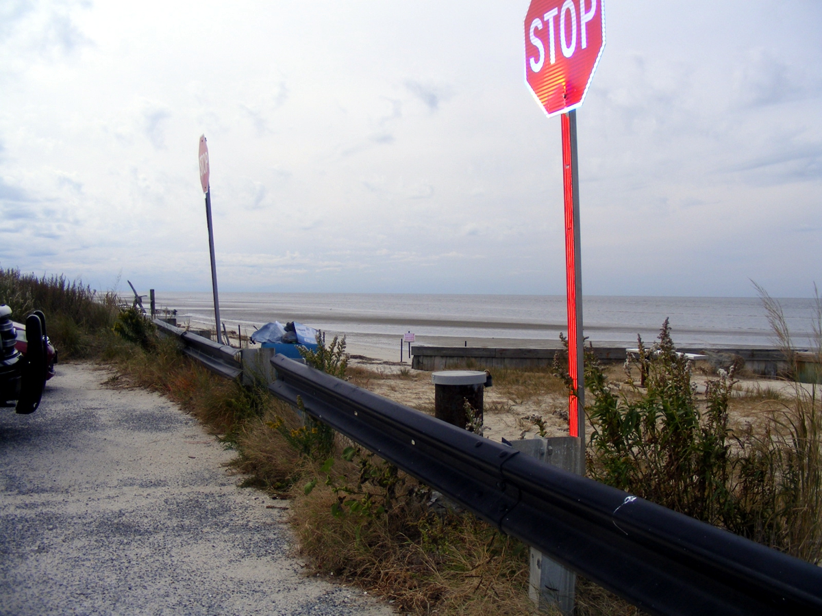
The Guard Rail and two stop signs are there to make sure anyone coming to
this site will stop right here. We departed at 12:46 PM, November 4,
2021.
I followed the GPS route down through some residential areas on the way to
the Cape May Ferry docks.
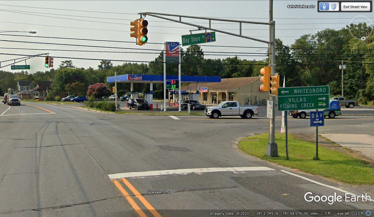
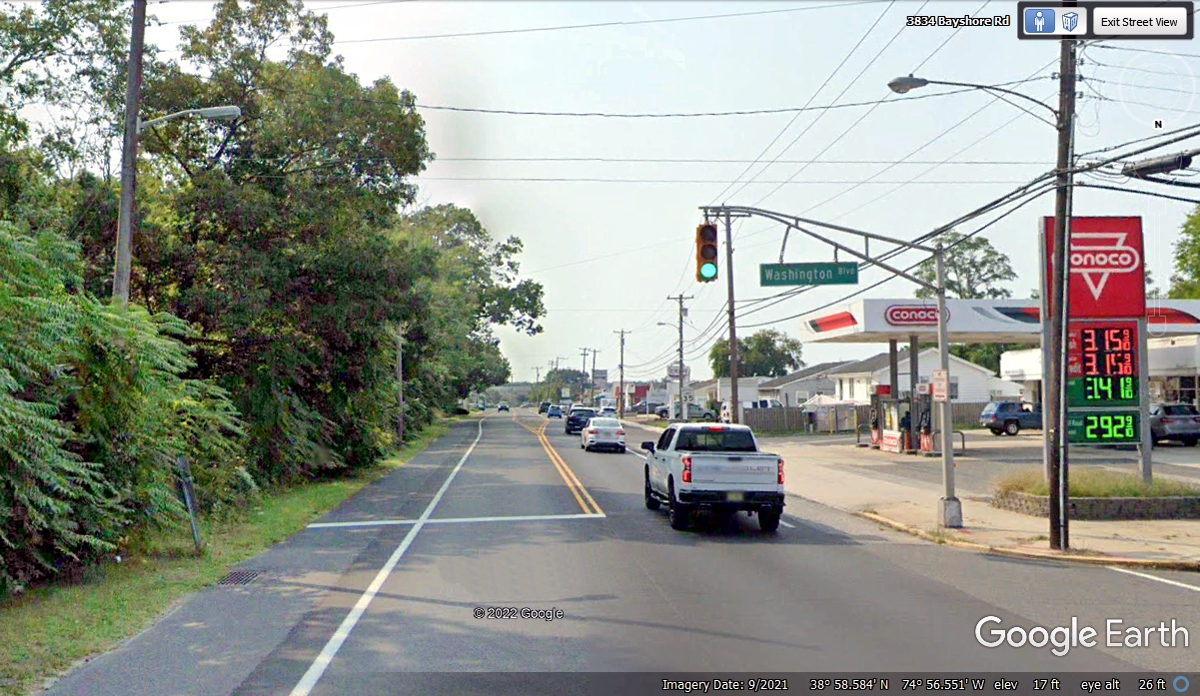
The Google Earth image from September 2021 shows gas prices here about the
same as they are in Saint Cloud, Florida where we buy fuel back home.
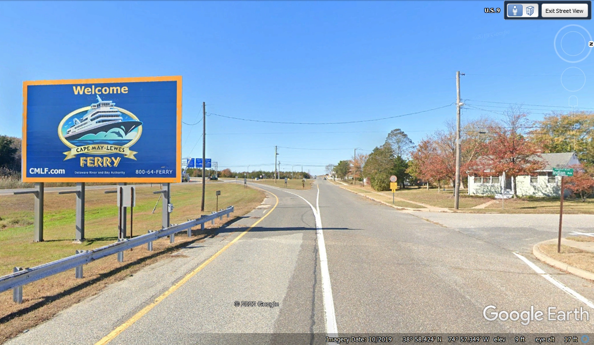
We made the turn to the west on US 9 at 12:59 PM to get to the Cape May
Ferry. We first crossed US 9 about 5 miles south of the Canadian border in
upstate New York.
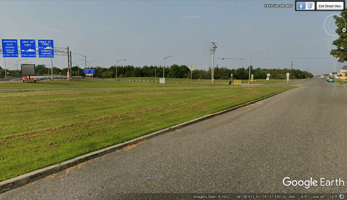
The Google Earth vehicle turned left here to get images of the Cape May
ferry dock facilities and terminal. We kept going straight ahead.
The Google Earth vehicle drove by the passenger drop off entrance to the
terminal.
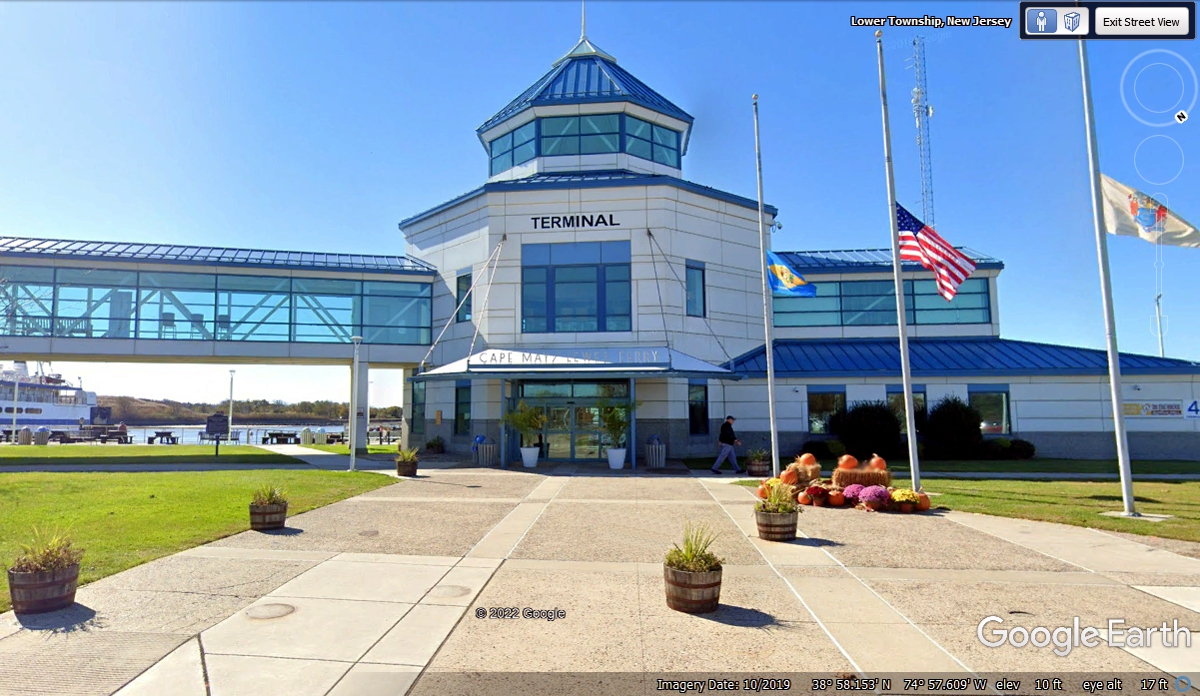
The main exit from the ferry terminal points the tourists back toward US 9
and open country plus nearby resorts like Atlantic City, NJ. Take note of
the sand dunes ahead that have the Delaware Bay on the other side.
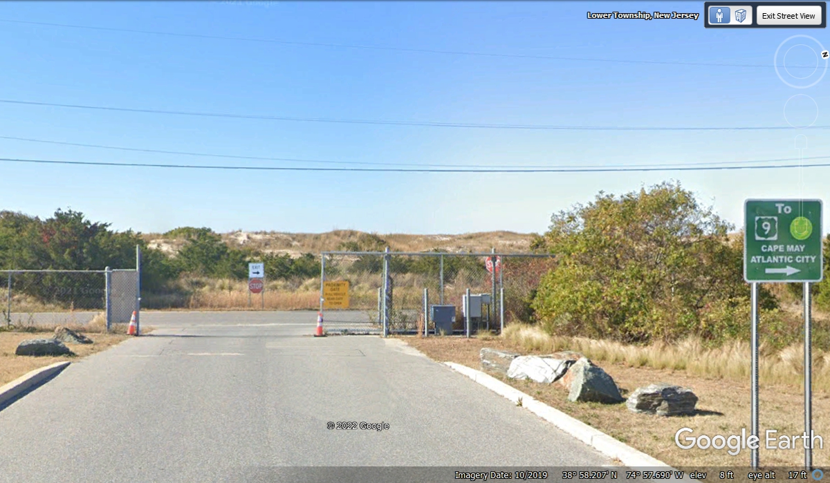
We bypassed the ferry entrance and continued to Beach Road down where this
part of US 9 ends at the water's edge.
| RETURN TO 2021 VACATION MENU |