October/November 2021 Vacation Day 7 · · PAGE 23.
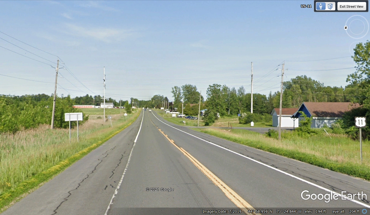
November 1, 2021: Let's not forget we still have a couple of miles of US 11 to travel after
we crossed the intersection of NY 276, where we took a 2-mile detour north to see
the border up close. This highway is right where we left it on the way to
the END of US 11 after we get to Lake Champlain.
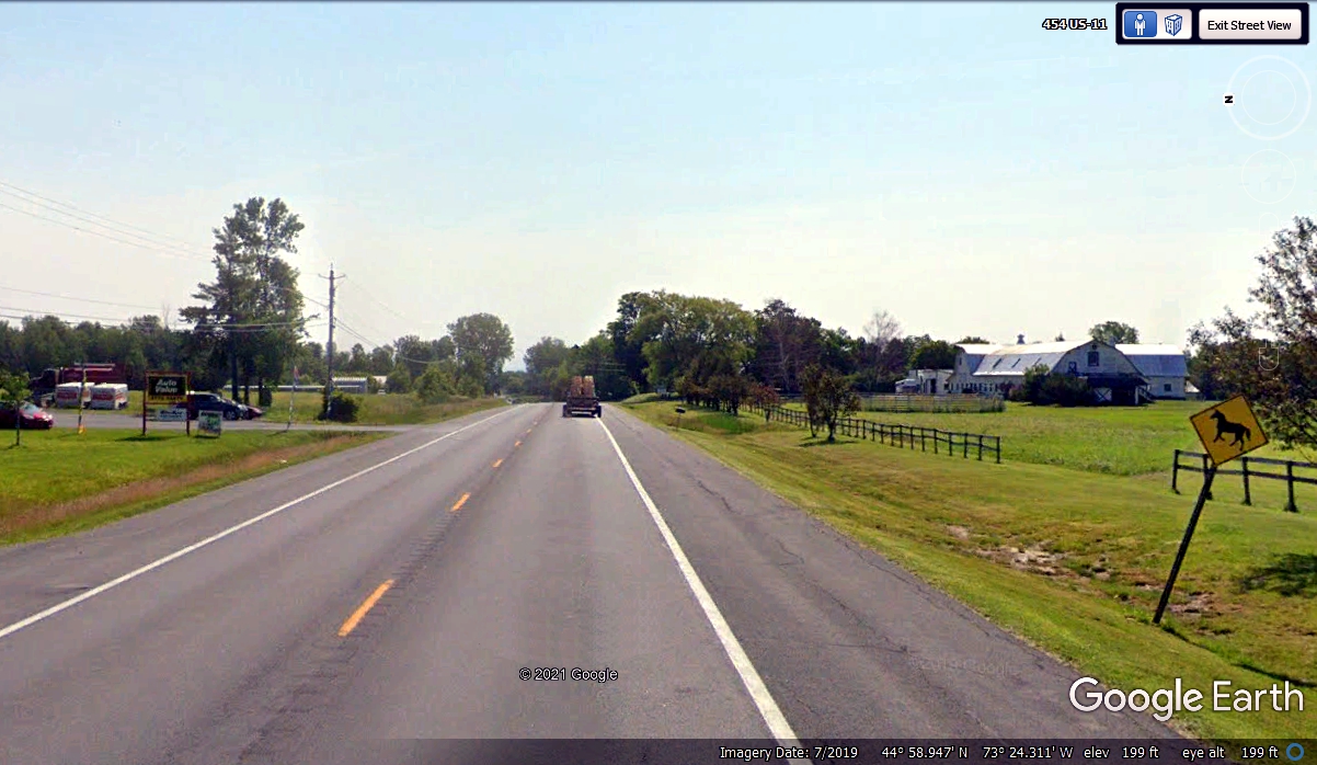
In all my years on the road for business or pleasure, this is the first
time I have seen a road sign like this one! Those signs usually show a
rider on the horse, but not this one. I wonder if the missing section of
fence here has anything to do with this unusual road sign? And why do so
many road signs not stand up straight? Next slide please...
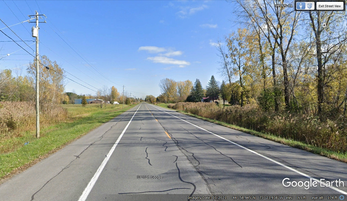
The date of this image got my attention since it is from October
2021. We went this way on November 1, 2021. And about those black
lines, are they some sort of alien code?
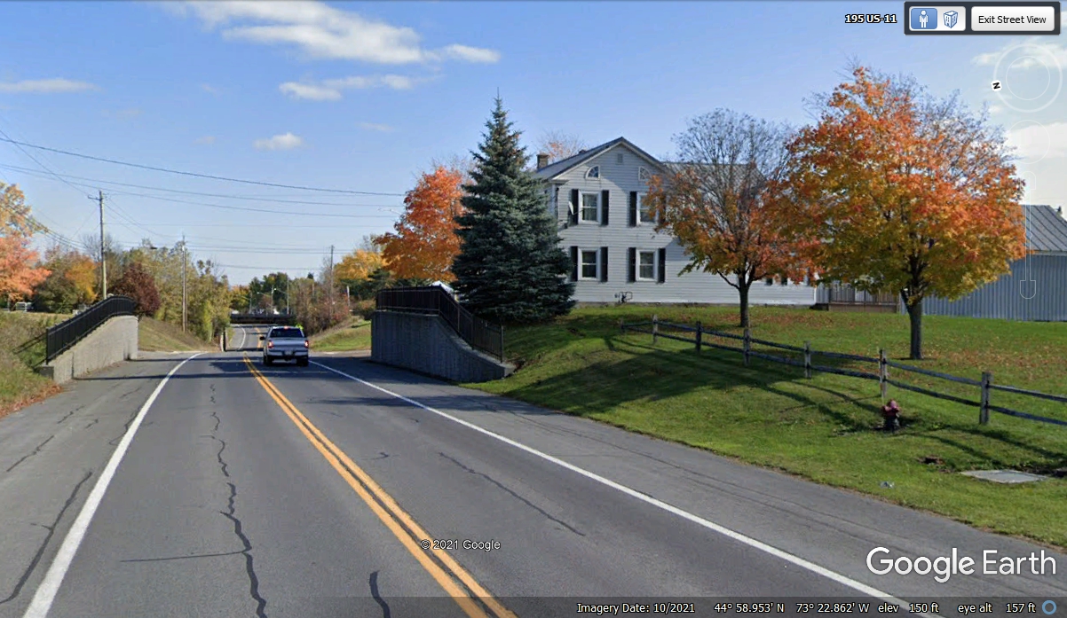
As we get closer to the end of US 11, these colors are what this vacation
journey has been all about. Wind-powered generators, water falls and new
views of the Great Lakes have been the other highlights. Take note of the
underpass ahead with a railroad track on top.
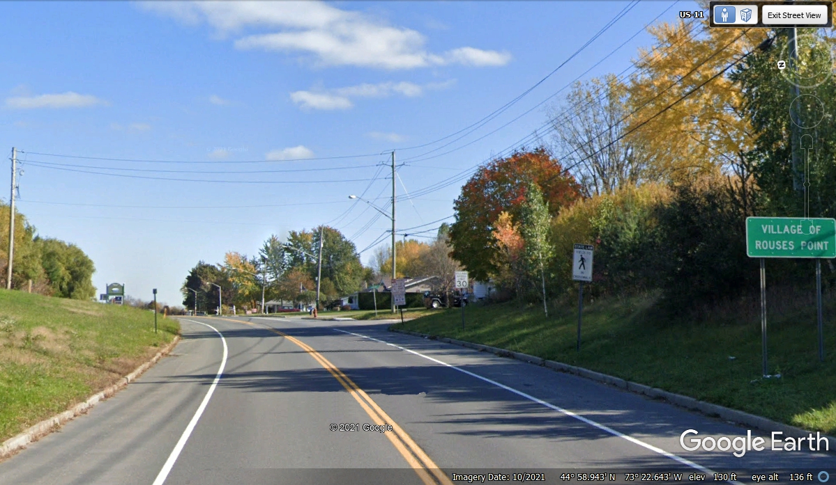
This should be the last Village we will enter in New York State. The
Village of Rouses Point is what the sign says in case the shadow is bothering
you. This view is coming up from under the railroad underpass seen in the
image above.
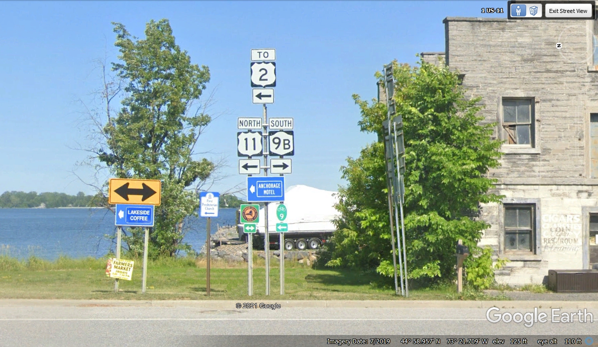
This should be the last turn while following US 11. That water in
the background is part of Lake Champlain. NY route 9B goes south to join with US
9 less than six miles from here.
This new image from October 2021 has brilliant colors just north of the 9B
intersection as we head north on US 11 along the shore of the lake.
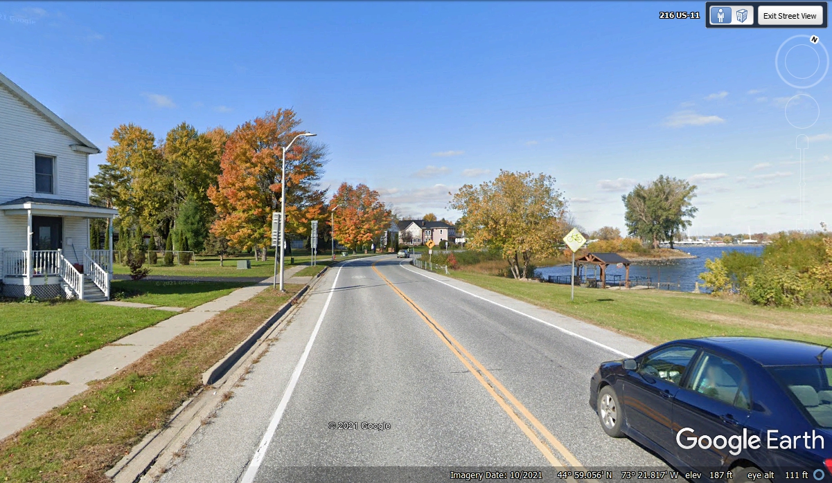
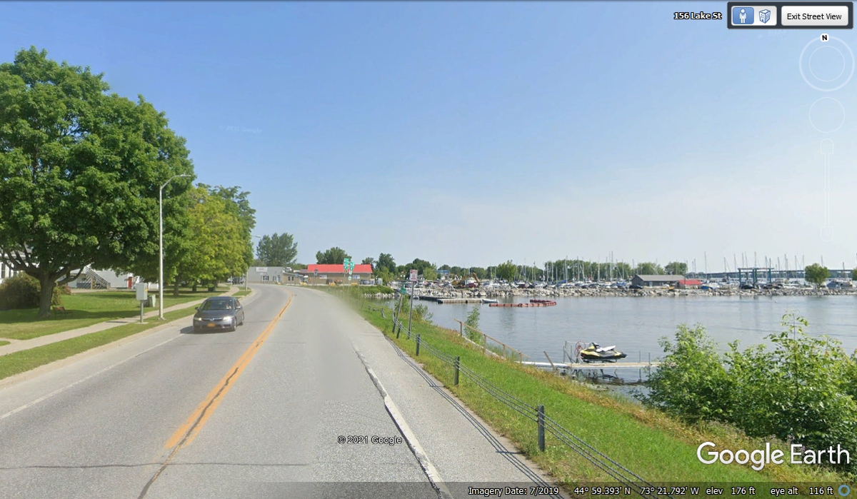
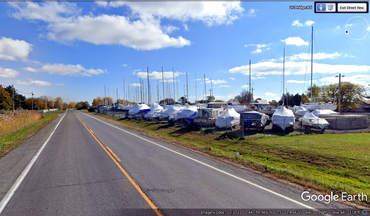
The harbor at Rouses Point is a popular place during the summer
months. The boats are stored for the coming winter.
Summer 2019 is seen here with the harbor getting full use by sail boats and
everything else that floats.
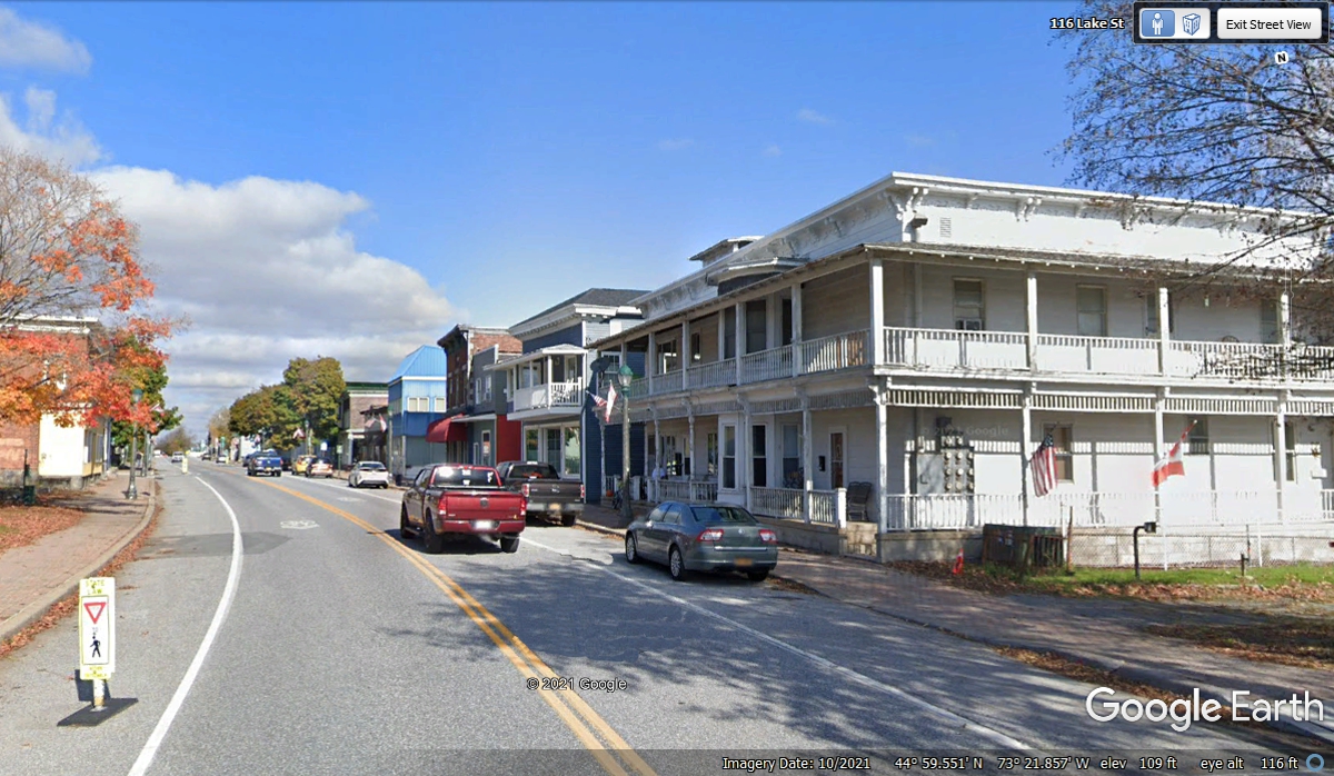
The buildings in the main part of town remind me of parts of Key West, Florida and New
Orleans, Louisiana.
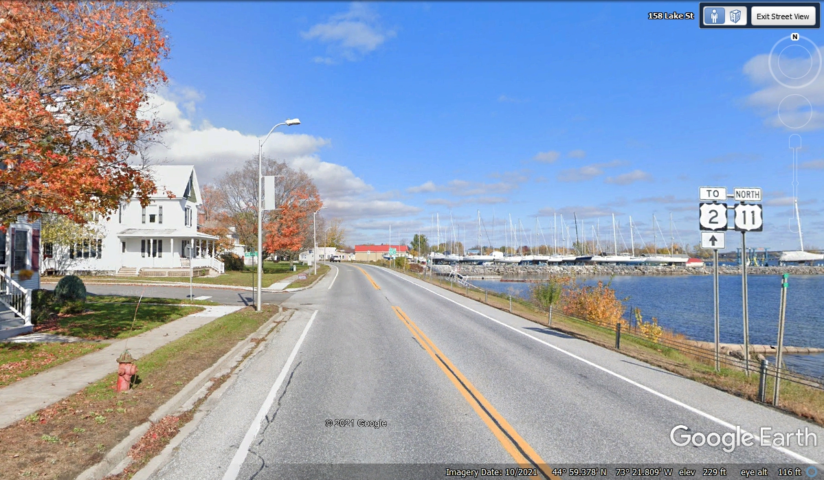
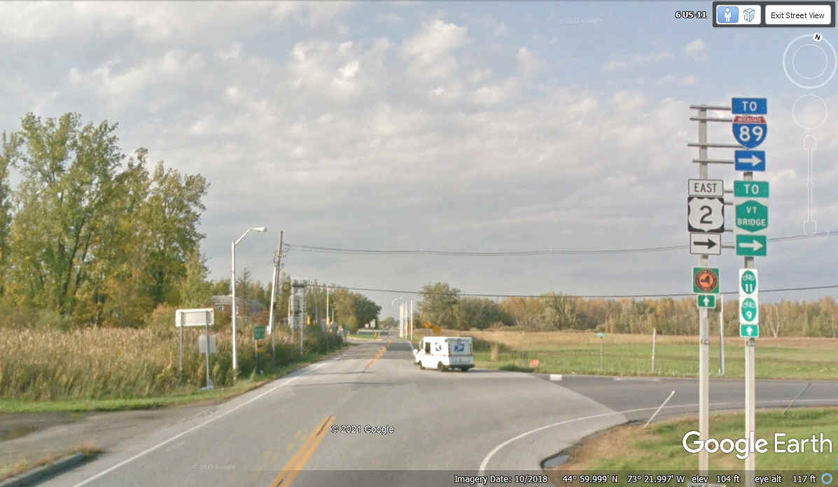
This is the first road sign for US 2 going East from this location into
New England. US 11 continues to the Canadian Border, but Google Earth did
not go there with their photo vehicle. That photo vehicle turned right and followed US 2 across
the Vermont Bridge. We took that course as it heads into the New England
states where we want to see new sights.
This is the first US 2 sign on the route going East after making the right
turn seen in the image above.
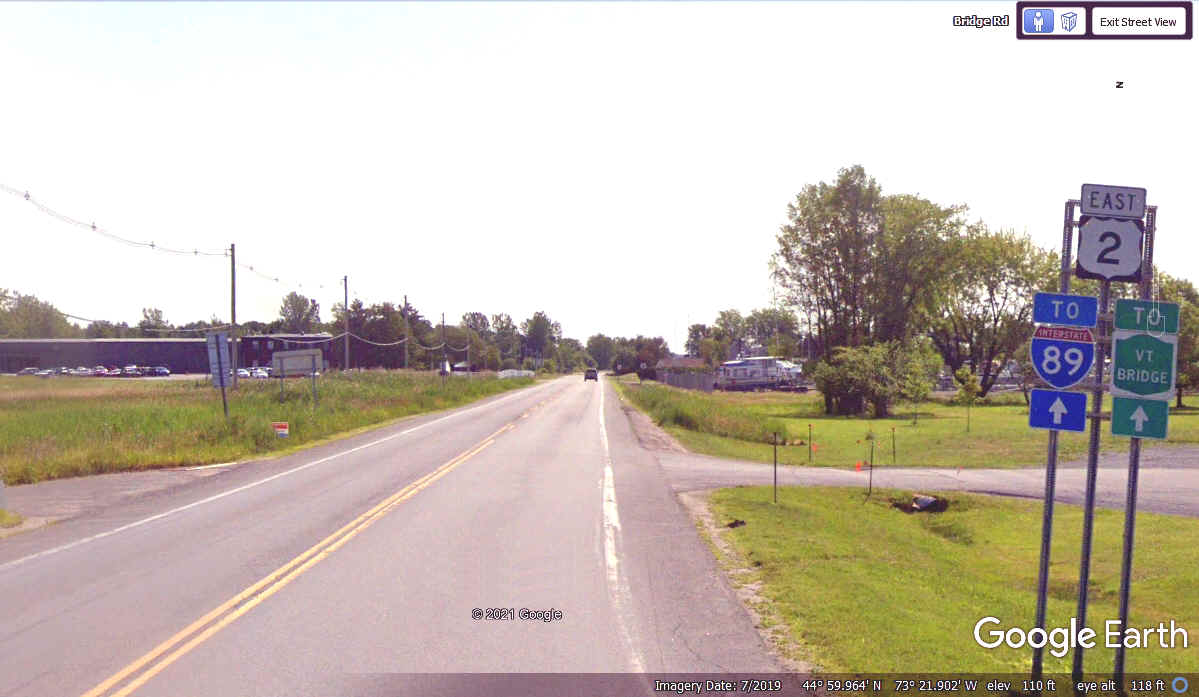
This location on US 2 is the north edge of the boat storage area for the Rouses Point harbor.
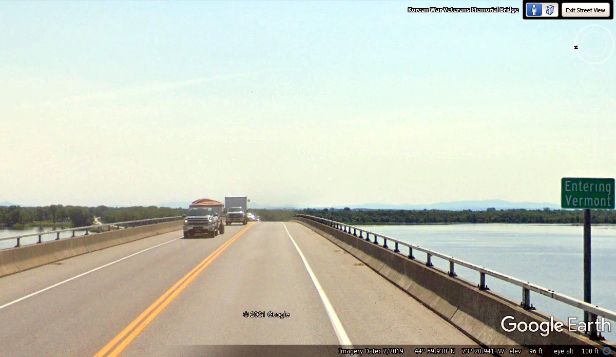
We are leaving New York State by crossing this bridge to the state of Vermont.
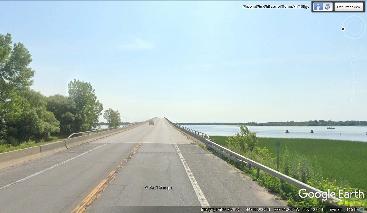
The Vermont State Line is near the high point of the bridge.
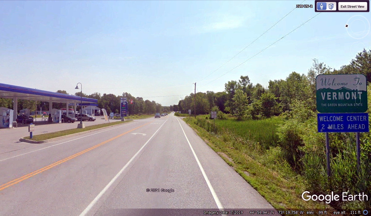
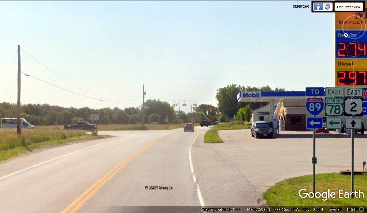
This Welcome To VERMONT sign is just past the Eastern end of the bridge on
terra firma. Irving Oil has a gas station and convenience store located
here with the price of gas showing $3.47.9 per gallon in July 2019. I have
picked a Mobil gas station on US 2 down in Colchester, Vermont
just north of Burlington. The Gas Buddy web site shows the price there at
$3.29 for this trip in 2021. This location seen here is on the first of
the FOUR Champlain Islands in Lake Champlain that are connected by US 2.
US 2 is the secondary route in this part of Vermont. Interstate 87
was on the New York side of Lake Champlain. Interstate 89 is on the
Vermont side of the lake. We will get to that route after we use the Lake
Champlain BYWAY to do some island-hopping down the middle of the lake in this
area.
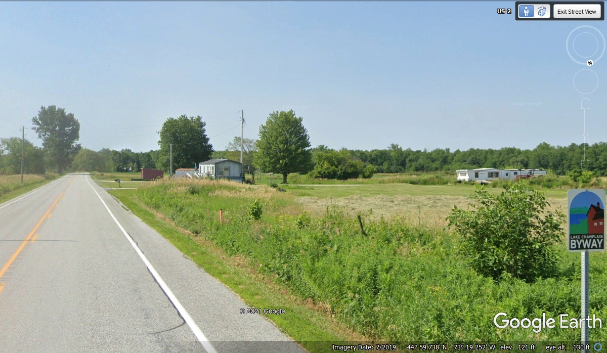
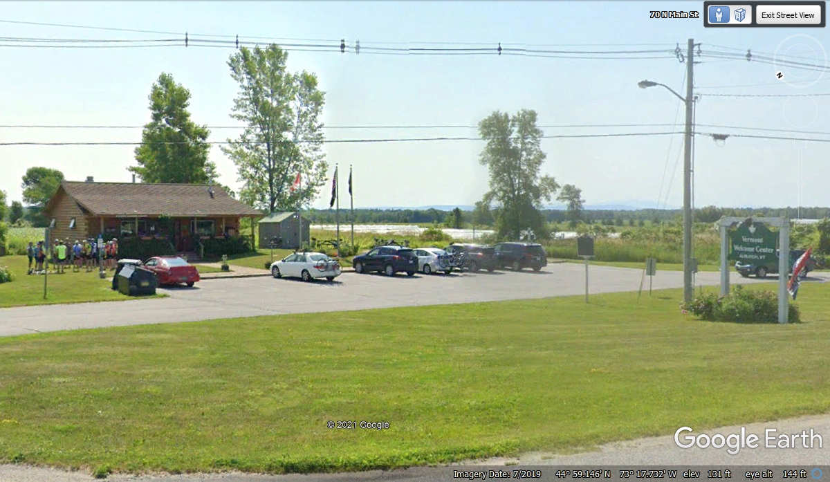
This is the Vermont welcome station 2 miles from the bridge. The
image below from July 2019 shows plenty of tourists here when Google Earth
captured this photo. We arrived on November 1, 2021 and only a couple of
highway department men were here. The front door had a sign on it saying
"CLOSED FOR THE WINTER" that began on this day. One of the men
said the rest rooms inside are open and that was what we needed. Linda
went in first while I walked her dog Chase on the north side of the
building. When she returned to the car, I had my turn for relief and spoke
to the two women working inside. They were putting away a lot of tourist
brochures and some remodeling was going on indoors. I thanked them for
their hospitality on a day they are closed.
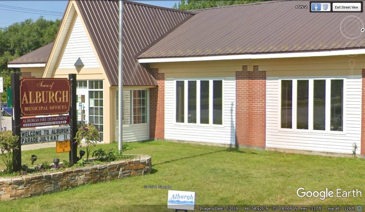
The town of Alburgh is the most northwestern town in Vermont on US
2. Municipal offices are up front with the fire department around back.
These are the signs for the upcoming intersection telling where two of the
three choices go from here. Burlington, Vermont is the big town where we
are going on US 2. The Champlain islands are the stepping stones for US 2
before it gets back to the mainland on the East side of Lake Champlain.
Going to Swanton is part of the route to Interstate 89.
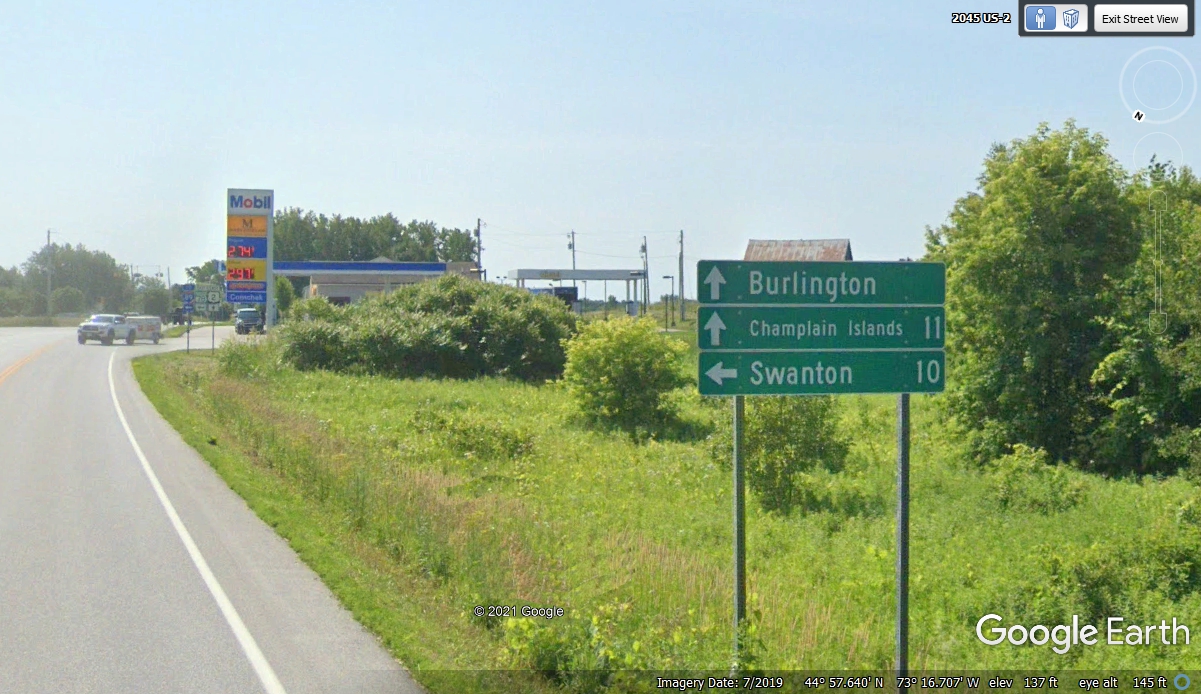
This image gives the fuel prices from July 2019 and the relevant highway
numbers for the intersection ahead. Vermont route 78 goes to I-89. What is not said here is
that US 2 will also connect to I-89 further down the islands and that is what we
will do going straight ahead from here.
| RETURN TO 2021 VACATION MENU |