October/November 2021 Vacation Day 7 · · PAGE 21.
November 1, 2021: Some of the towns are
not that far apart. Each one has a different feel to it. The one
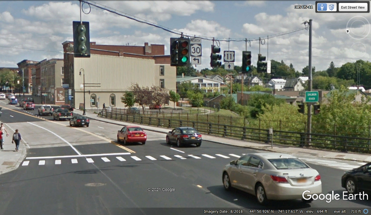
thing they have in common is a natural source of water. For the town of
Malone, New York, that water supply is the Salmon River passing under the bridge seen
here.
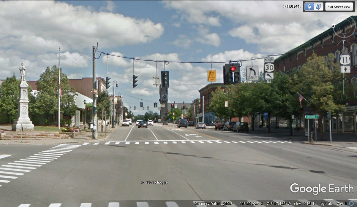
Our US 11 route today leaves town on an Easterly heading, while NY route
30 goes on a northern departure. There is another statue honoring union
soldiers who fought in the "War Between the States" also known as the
Civil War from 1861 to 1865.
Less than two miles out of town, US 11 turns northeast on its way to the
next village getting closer to the US Border with Canada.
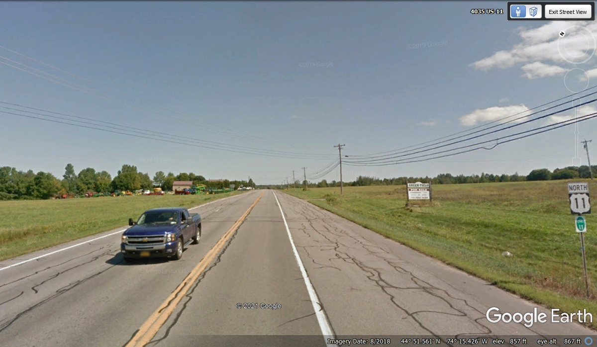
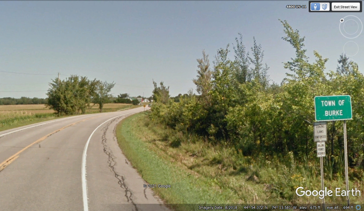
After a couple of miles, US 11 turns back on an Easterly course as it
enters the town of Burke, NY. I was surprised not finding the word
"village" on this sign.
Doing this web project about our 2021 vacation in the Northeastern States
is giving me time to learn about some places where I did not pay much attention
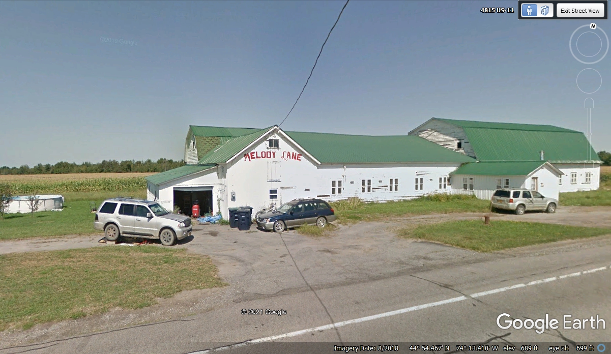
as we passed by, like this one. Google Earth is a wonderful research tool
for this project. Melody Lane is just one of many farms in the area near
the town of Burke, NY. The address in the image below confirms this image
was captured on the US 11 highway.
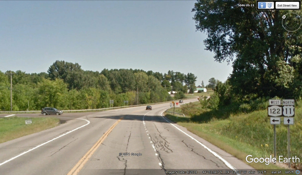
This junction with NY 122 is the closest state highway to the little town
of Burke.
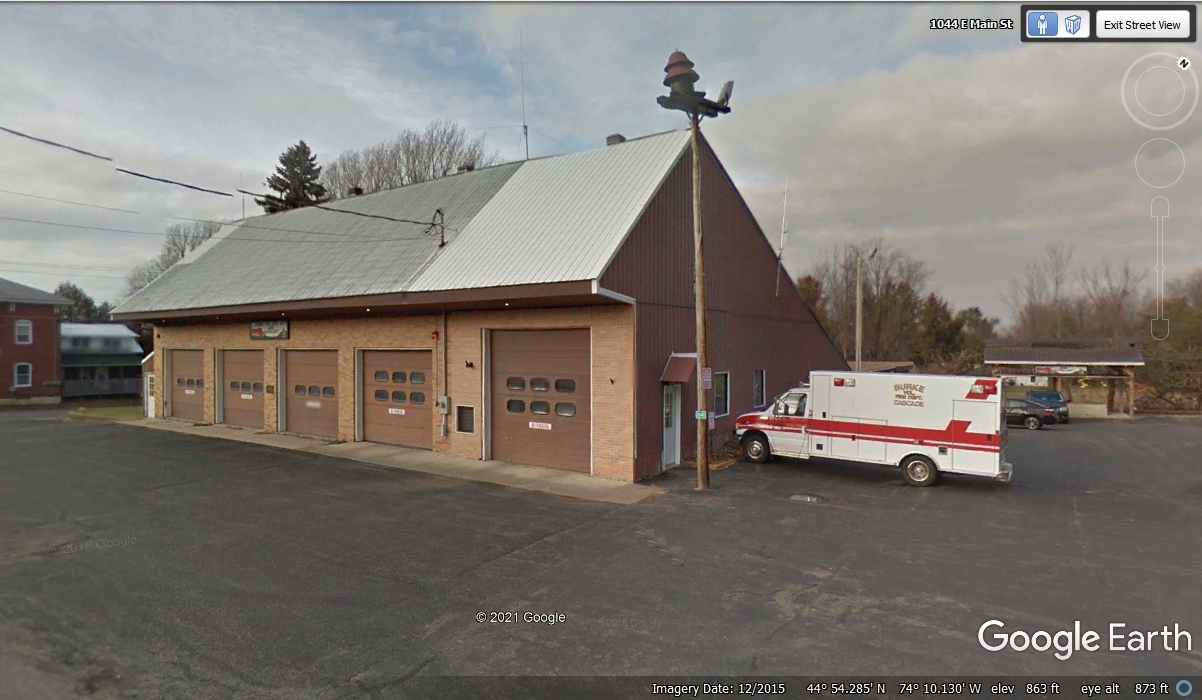
I used Google Earth to drive through the Town of Burke to discover they
have the Village of Burke on their water tower. There are no signs on
their fire / rescue facility. That large siren on the building hints at
this being a volunteer fire department. I would think the EMT's for the
ambulance are on duty most of the time.
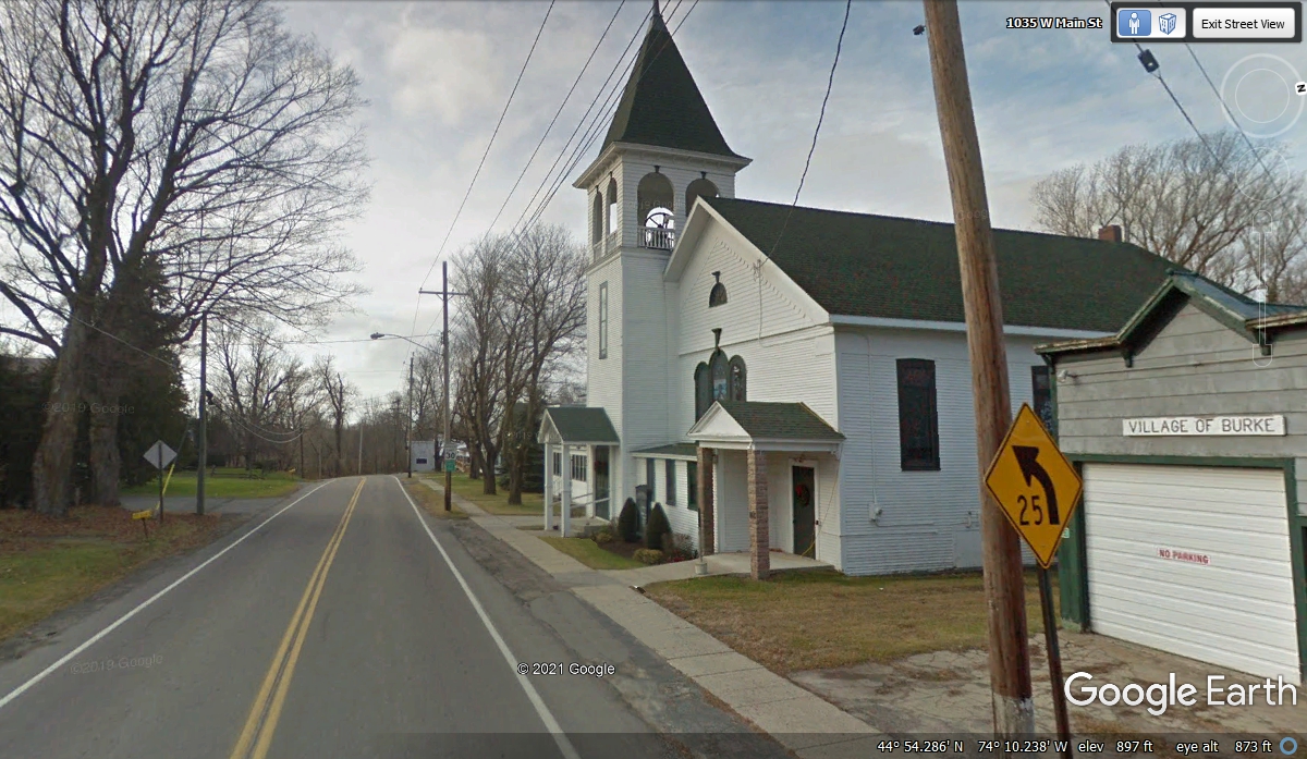
The garage adjacent to the Methodist Church is property of the Village of
Burke.
I had been checking the price of gas along this part of the route.
The last fuel we purchased was from TWO EAGLES before we reached the city of
Niagara Falls. I was hoping to get more fuel in Vermont as it is cheaper
than in New York State.
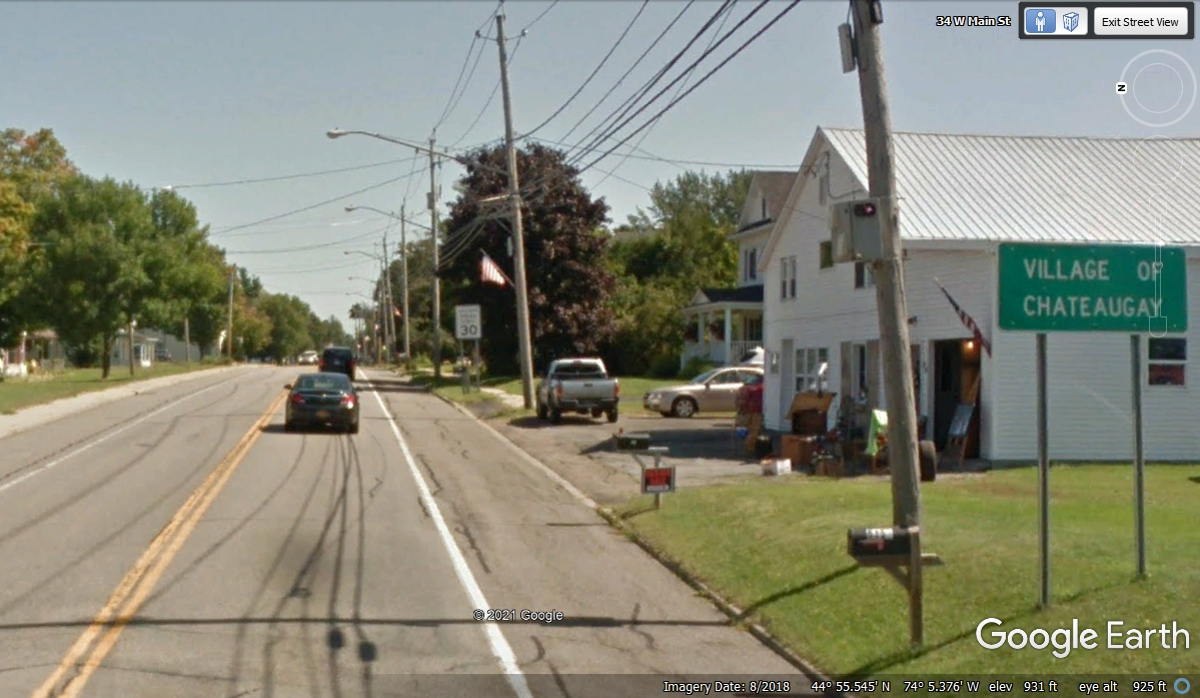
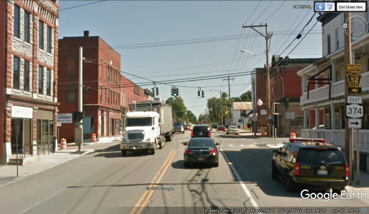
Chateaugay downtown has their one and only traffic light at the
intersection of NY route 374 and county road 52. US 11 goes straight
through town, and so did we.
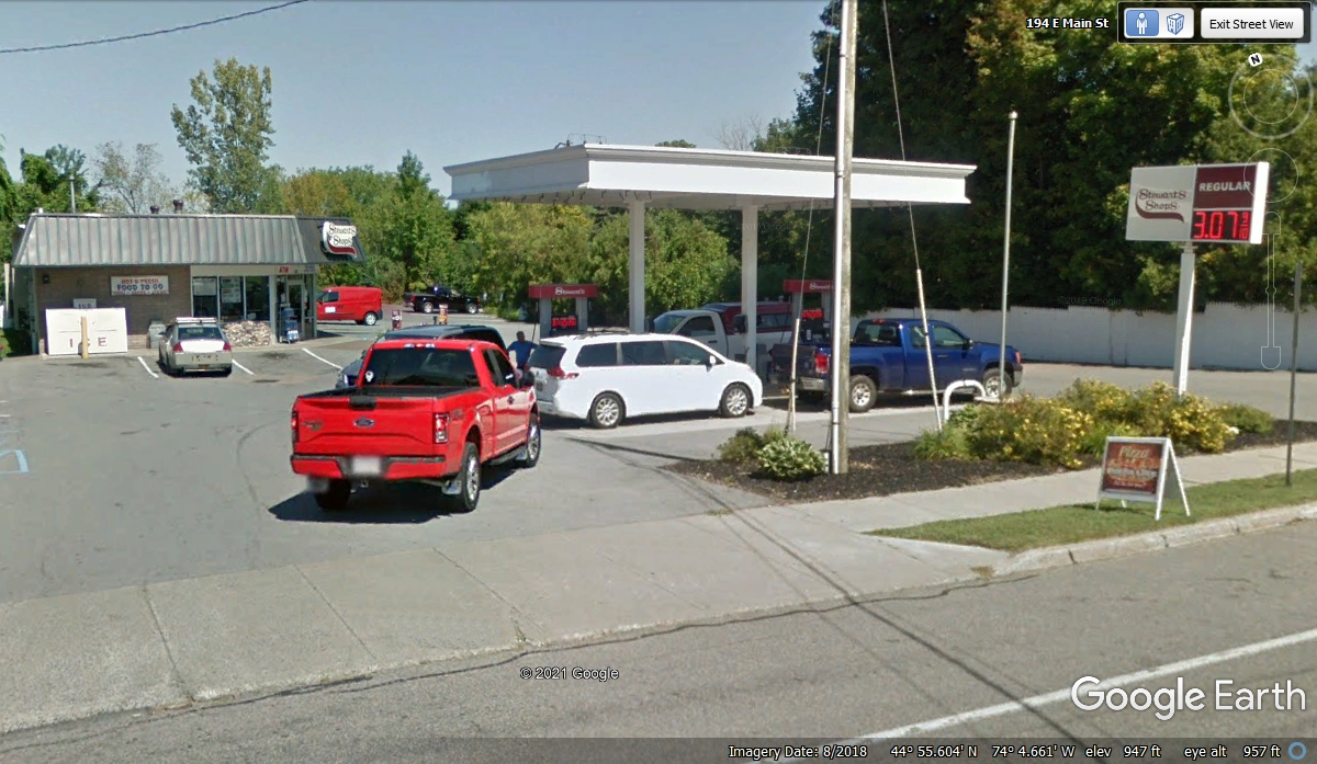
We came upon this independent gas station as we were leaving town. I
wanted to buy a few gallons now to be sure I could make it to my fuel stop in
Vermont. The price per gallon was $3.639 when we passed here on November
1, 2021. The receipt time stamp was 12:40 PM. We did not have to wait in line that day. The gas price on
the sign is from August 2018 when Google Earth captured this image.
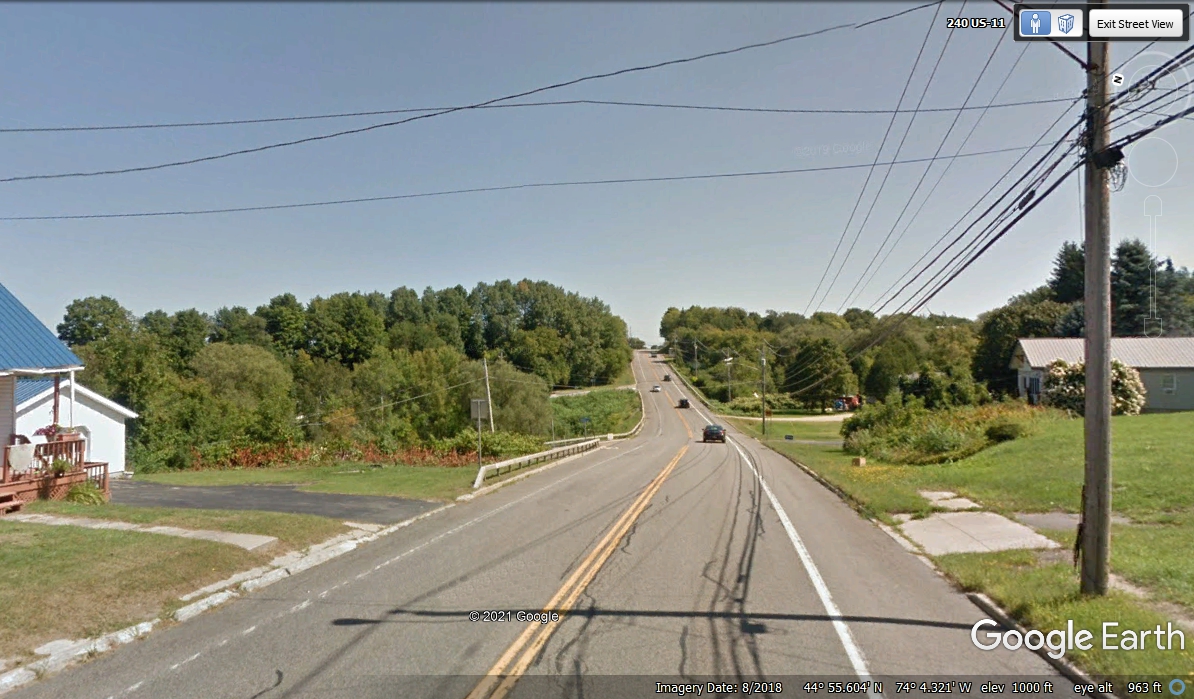
Departing Chateaugay going East on US 11 reveals some variable terrain
ahead unlike the FLAT farmland we traveled between Malone and here. There
are several small rivers and a number of creeks in this area. The low spot
ahead has Boardman Brook running there.
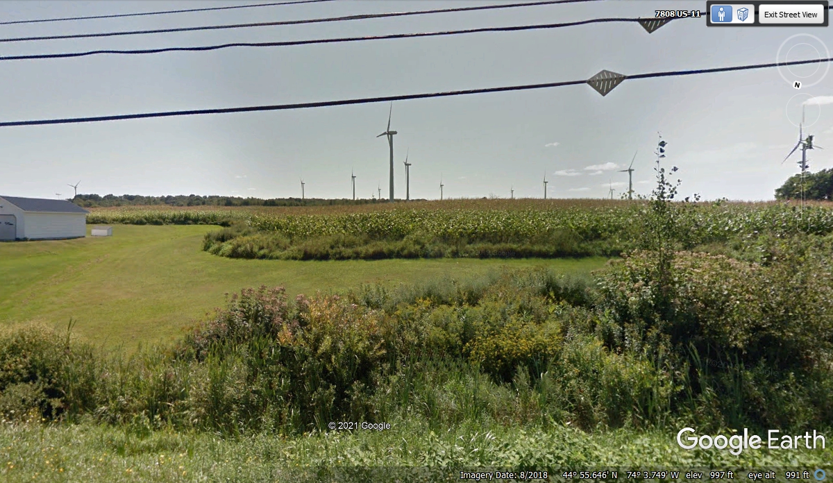
This hill top after Boardman Creek is about 3/4 of a mile from the gas
station seen two photos above. There are 12 wind machines in this image
from Google Earth. The view here is from US 11 passing by this area
looking SOUTH toward the higher ground that is the best place to install these
windmills.
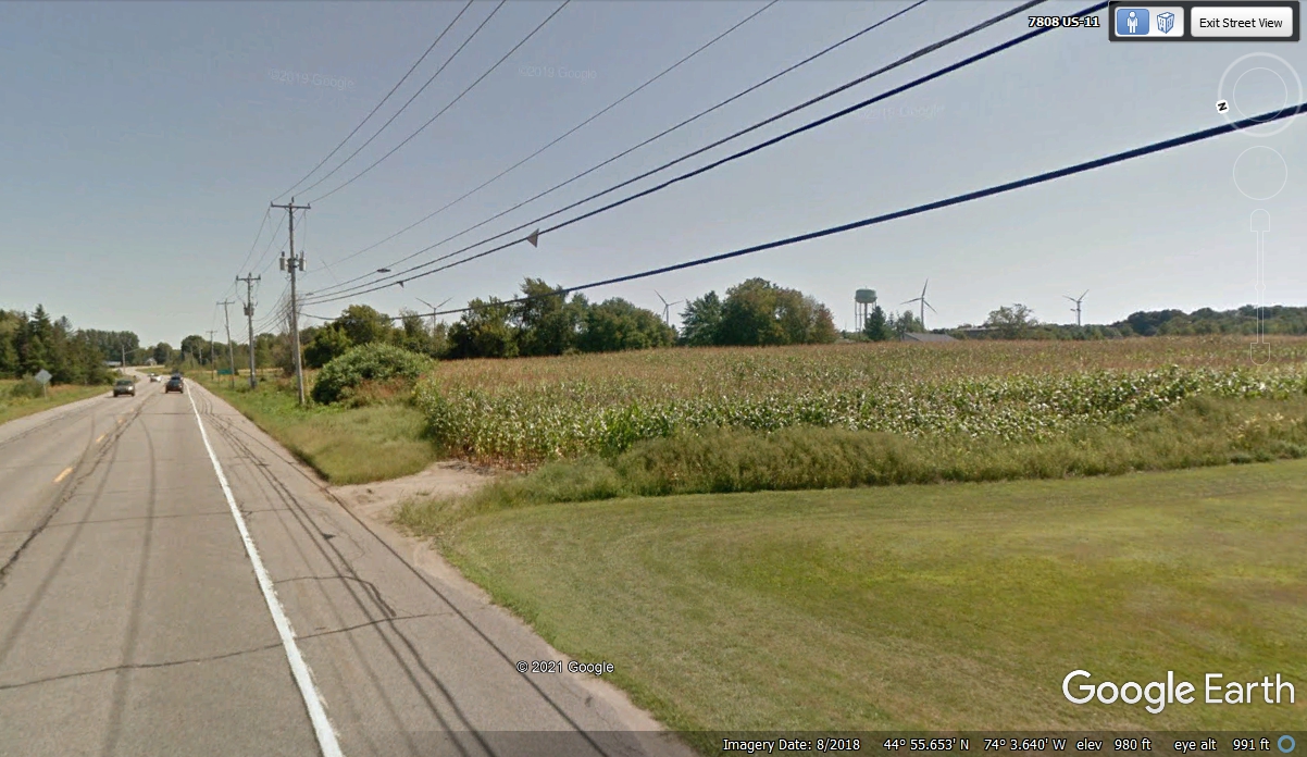
This image looking East on US 11 North shows four more windmills and a
water tank for this area public water supply.
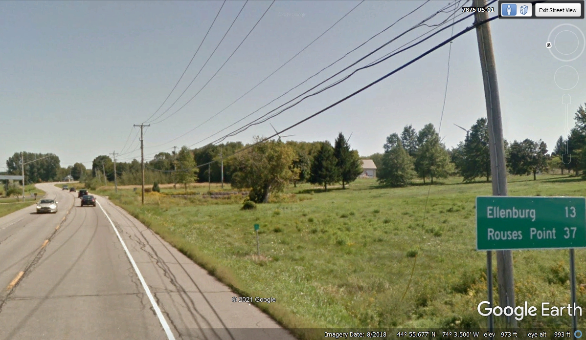
This mileage sign indicates two locations ahead on US 11. The two
windmills seen in this image were counted in the image above. Rouses Point
is where US 11 reaches the shore of Lake Champlain and where it turns north
toward the US border with Canada. We will see how many more windmills are
up ahead around that curve.
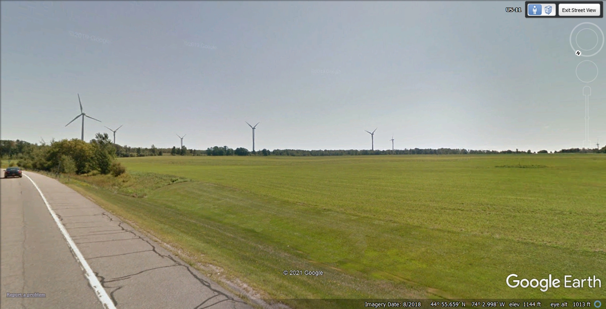
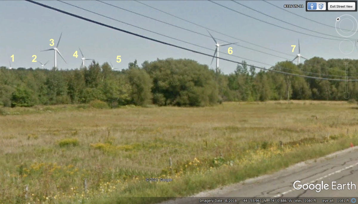
There are seven windmills in this image looking southeast from our ride on
US 11. Number 7 is at the far right side of the image.
At this point along US 11, looking southwest reveals SEVEN windmills.
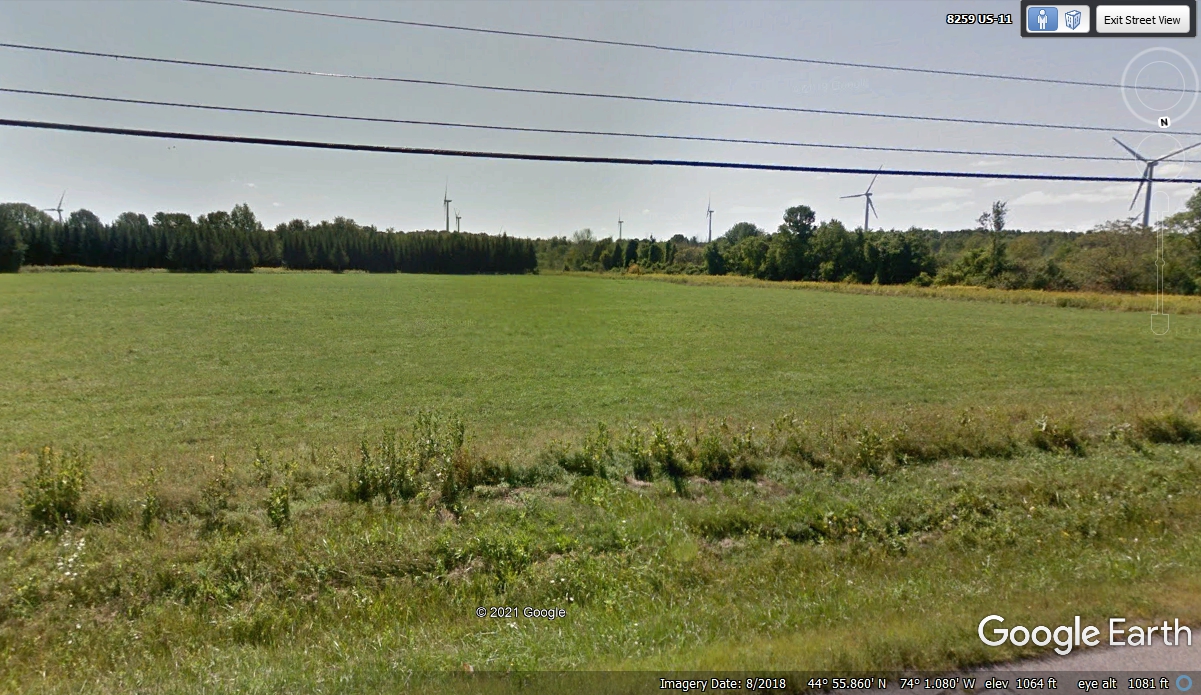
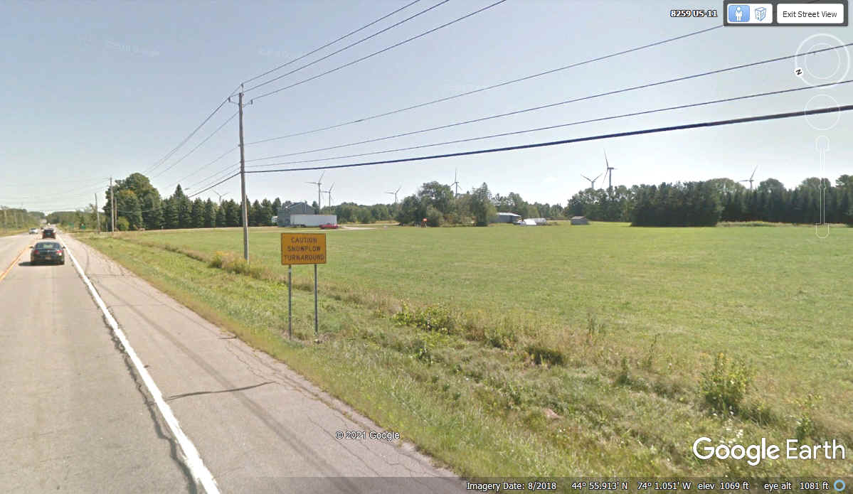
This image is looking southeast from the same location as the photo above
with EIGHT windmills visible. The ORANGE SIGN says "CAUTION, SNOWPLOW
TURNAROUND".
This is the first group on the North Side of US 11 as we continue
Eastward. Since three of these windmills were just barely visible above
the trees, numbering reveals them.
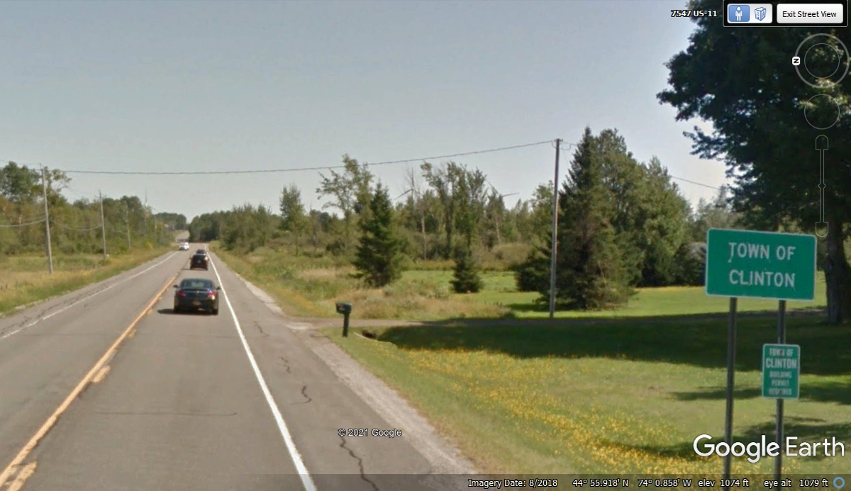
We are still on an Eastward path using US 11 North as we enter the town of
Clinton, NY.
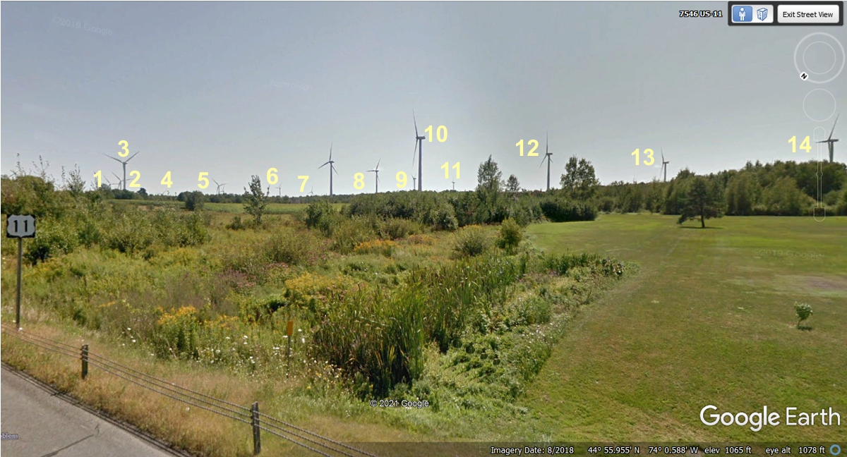
Here is the first windmill farm on the SOUTH side of US 11 after passing
the Clinton town sign. I made sure I zoomed in on everything here before I
put in the 14 numbers.
I have counted 21 images on this page. Since this is the end of PAGE 21, it must be time to create PAGE 22 of our 2021 Vacation.
| RETURN TO 2021 VACATION MENU |