LOOKOUT MOUNTAIN, POINT PARK · · PAGE 19.
November 18, 2020: Wednesday continues
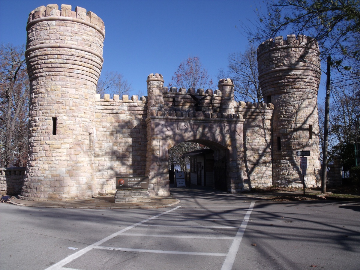
with a visit to Point Park at the north end of Lookout Mountain. This park
is operated by the National Park Service. Linda took this photo of the
entrance to Point Park. The army of the confederacy had installed many
cannons up here pointed down on the Tennessee River to prevent union gun boats
from attacking the City of Chattanooga. We arrived at Point Park at
9:56 AM to take some photos and give her dog Chase another break on some nearby
grass. We discovered the park office was closed this early in the day.
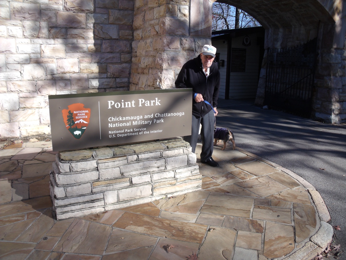
Who is that angry man? It was cold this morning and I was holding on
to Chase while Linda took some photos at this location. I forgot to smile for this photo.
A warm summer day would have insured my smile would be visible. We came in
mid-November to see the fall colors in the trees.
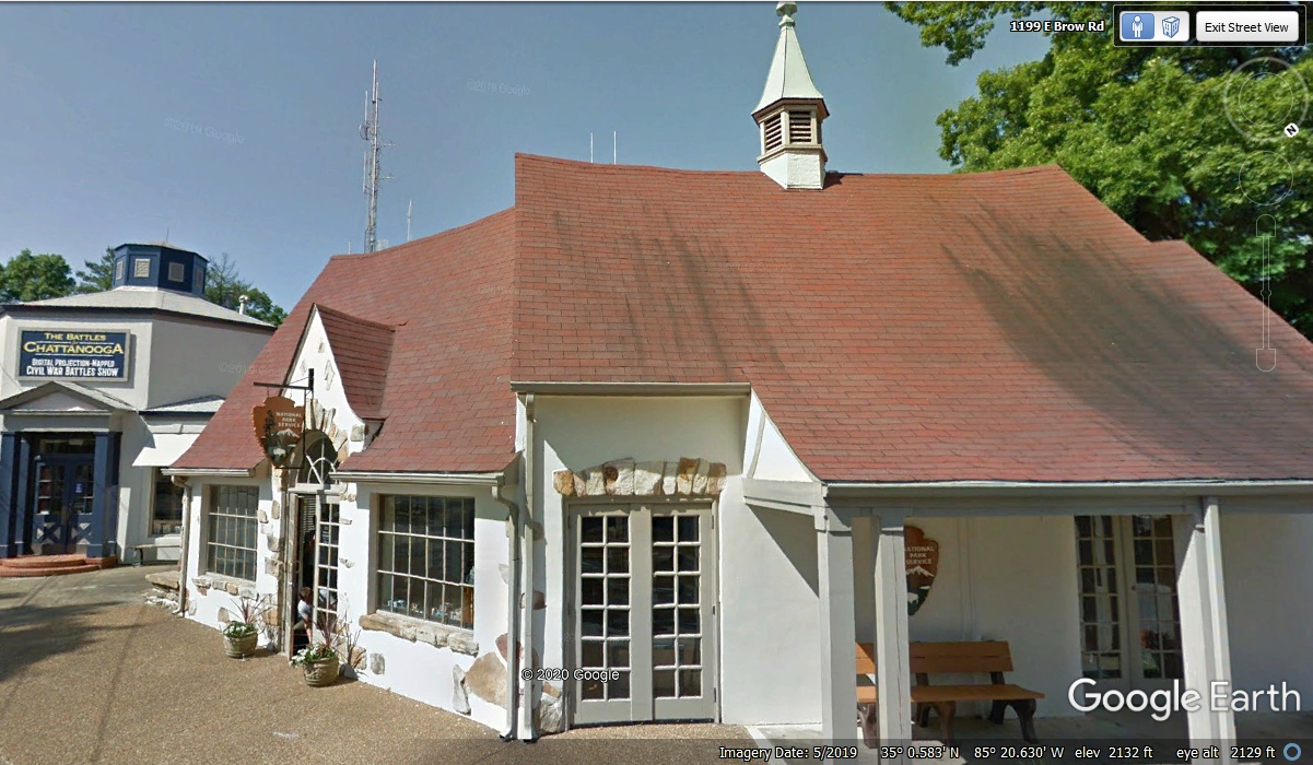
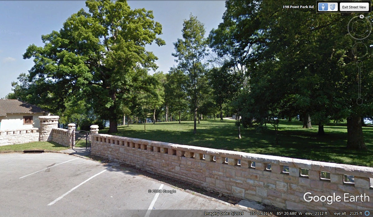
The park office and the park were closed when we arrived with the gates
locked. The park office was open on the day the Google Earth camera
vehicle passed by in May 2019.
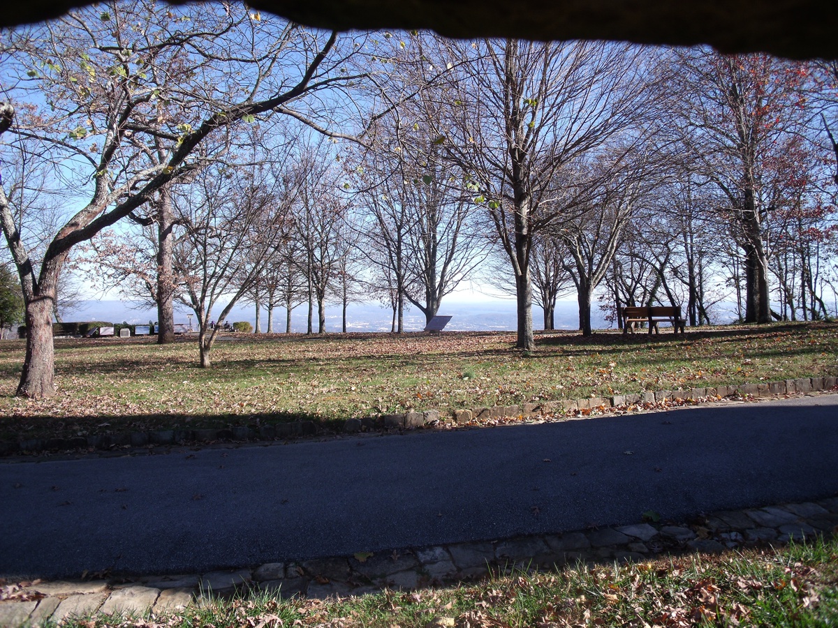
This view is from the entrance area to Point Park. Those cannons
along the crest were aimed down on the Tennessee River and later down on union
army troops attacking this Confederate artillery position. The last of the
leaves are just about gone from the trees in this Linda photo.
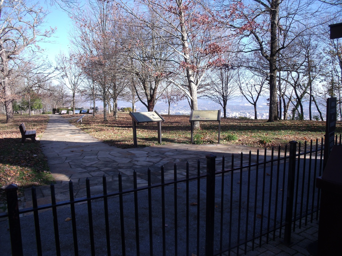
This view was through an opening in the rock wall since the park was
closed this early in the day.
One of the open block "windows" in front of her Chevy was used
to make the photo seen above.
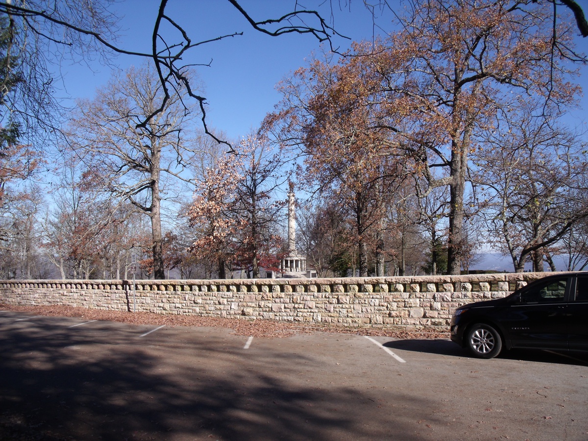
This is the northwest side of the park where cannons could fire on union
troops attacking from the west side of this location. We left the park at
10:13 AM and resumed our ride on the streets of Lookout Mountain, Tennessee.
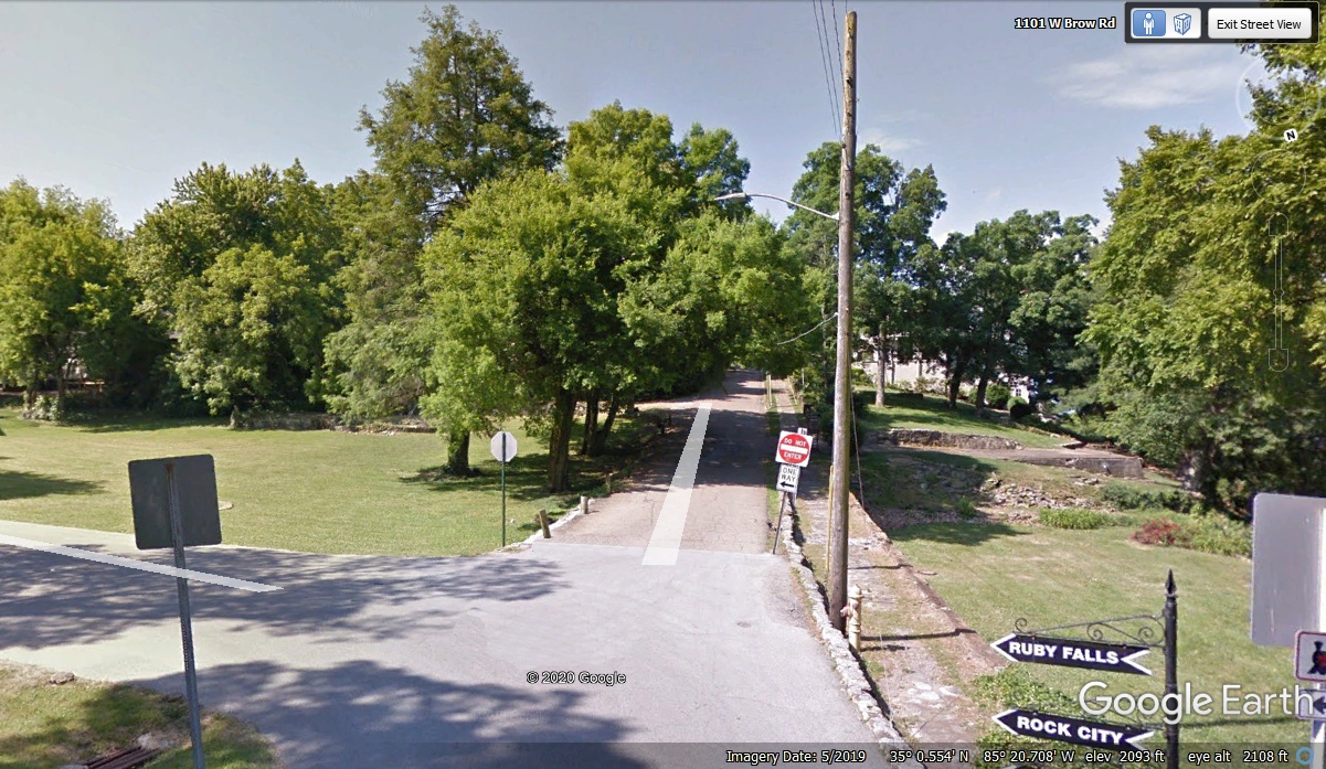
The street and parking area next to the wall is a one-way street.
Leaving the park is via another one-way street as seen below. Those next
three residential blocks of homes on the west brow of the mountain probably do not want
tourist traffic.
After going around the three blocks of fine homes on the ONE-WAY (wrong
way) street, we were back on West
Brow road and discovered a little parking lot down the road with an Historical Marker. We
pulled into the parking lot at 10:20 AM to read the sign and see what it was
about.
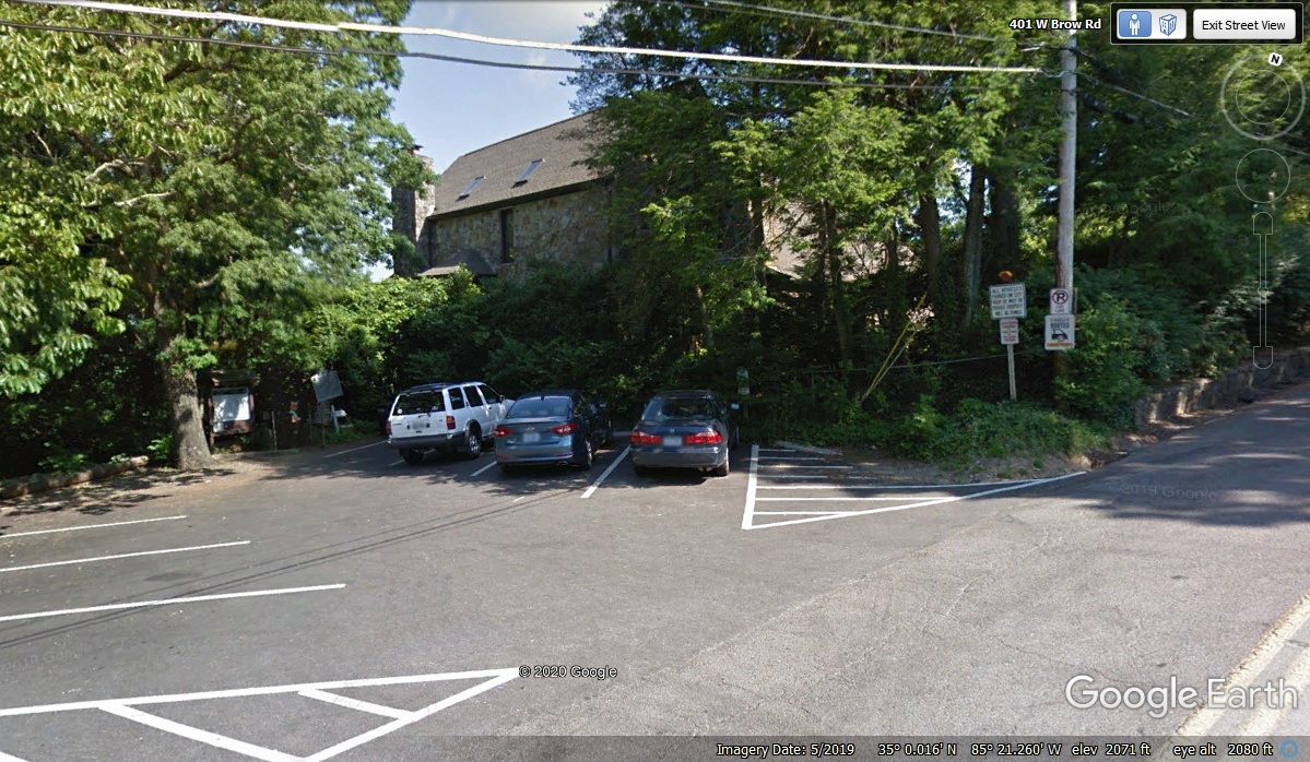
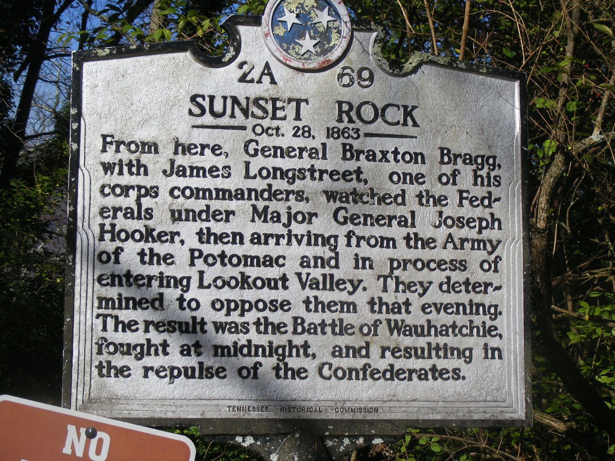
Sunset Rock is the subject of this historical marker about what was
probably the first Civil War battle near Chattanooga as described below.
This marker was leaning about 20 degrees to the left. I rotated my camera
to align with the text and took this photo. The Confederates took on the
Yankees and LOST their first battle in the Chattanooga area.
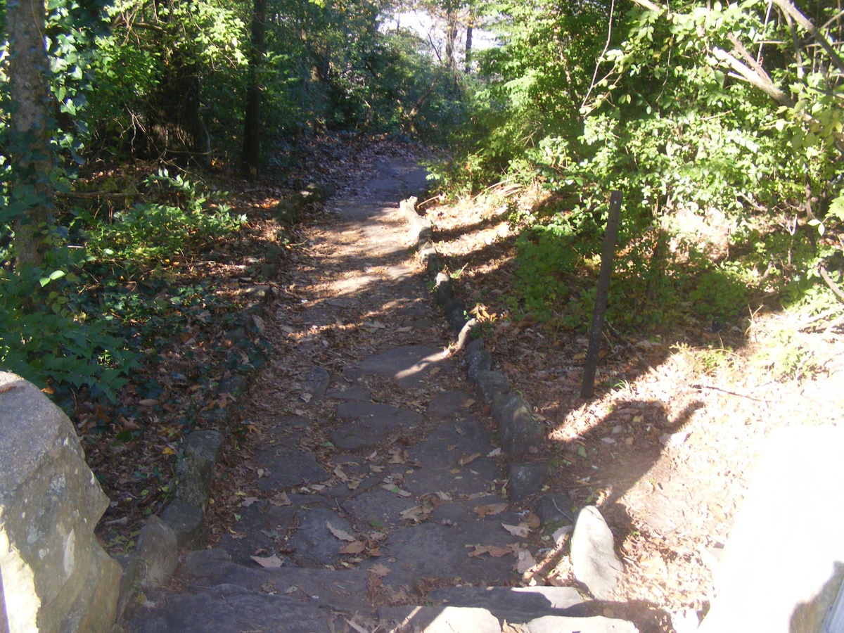
Linda was first to read the marker and take a few steps down the trail
seen here from my photo. I was giving Chase a break when she came back to
tell me she thought it was unsafe to walk down to the Sunset Rock. My
photo below shows the trail down to the first turn to the right.
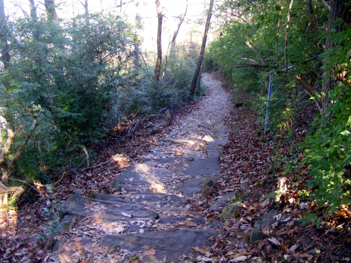
I walked down to the turn and took this photo of the rocks that are the trail
covered with leaves that could be slippery to the point of falling and suffering
some injuries. I did not notice the end of the chain link fence until I
processed this photo and created this web page.
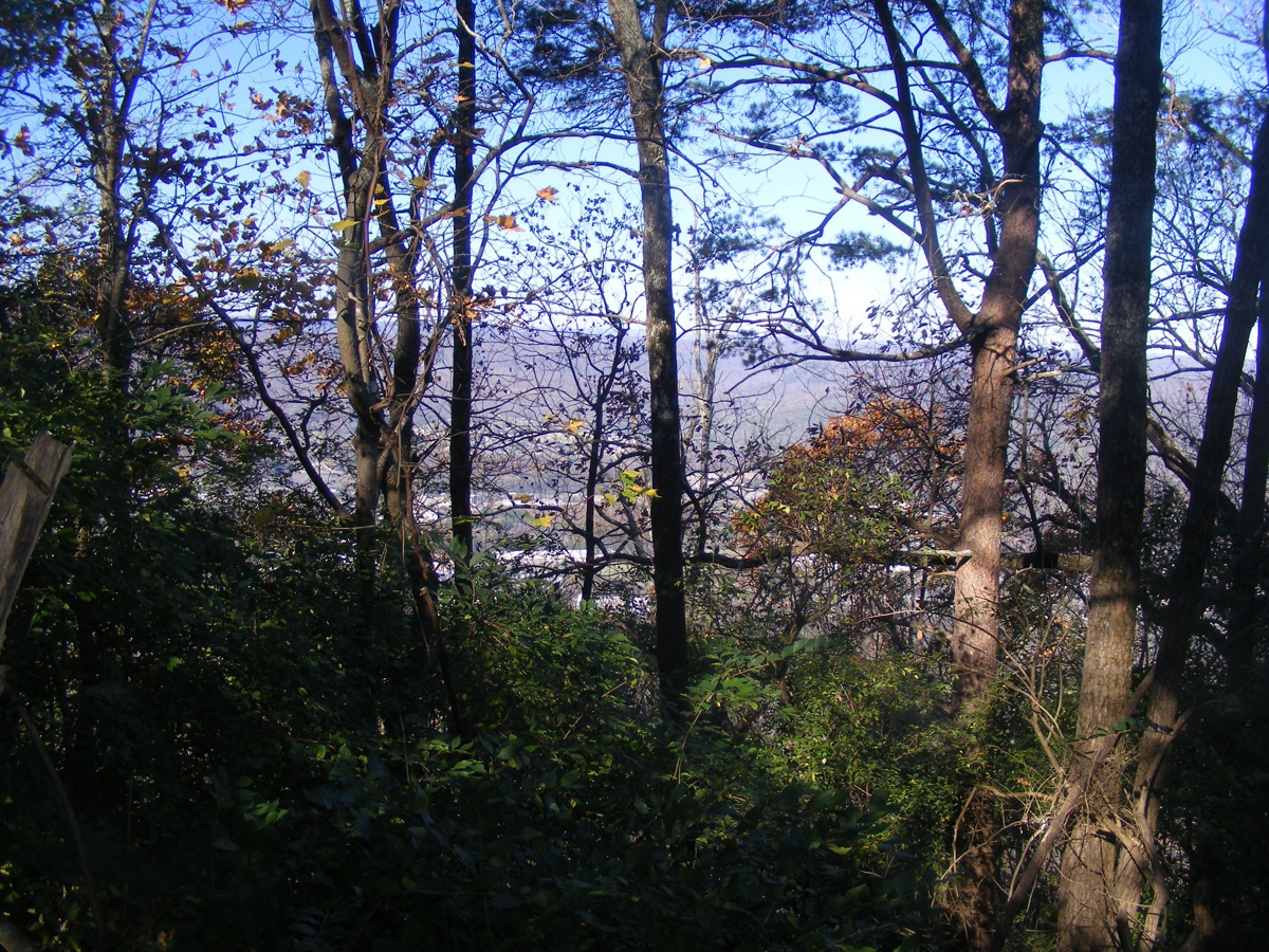
Rather than risk injury, I turned my camera toward the Lookout Valley
visible through the trees to get this photo. I turned back toward the parking area while watching
every step of the way to insure against a slip and fall accident.
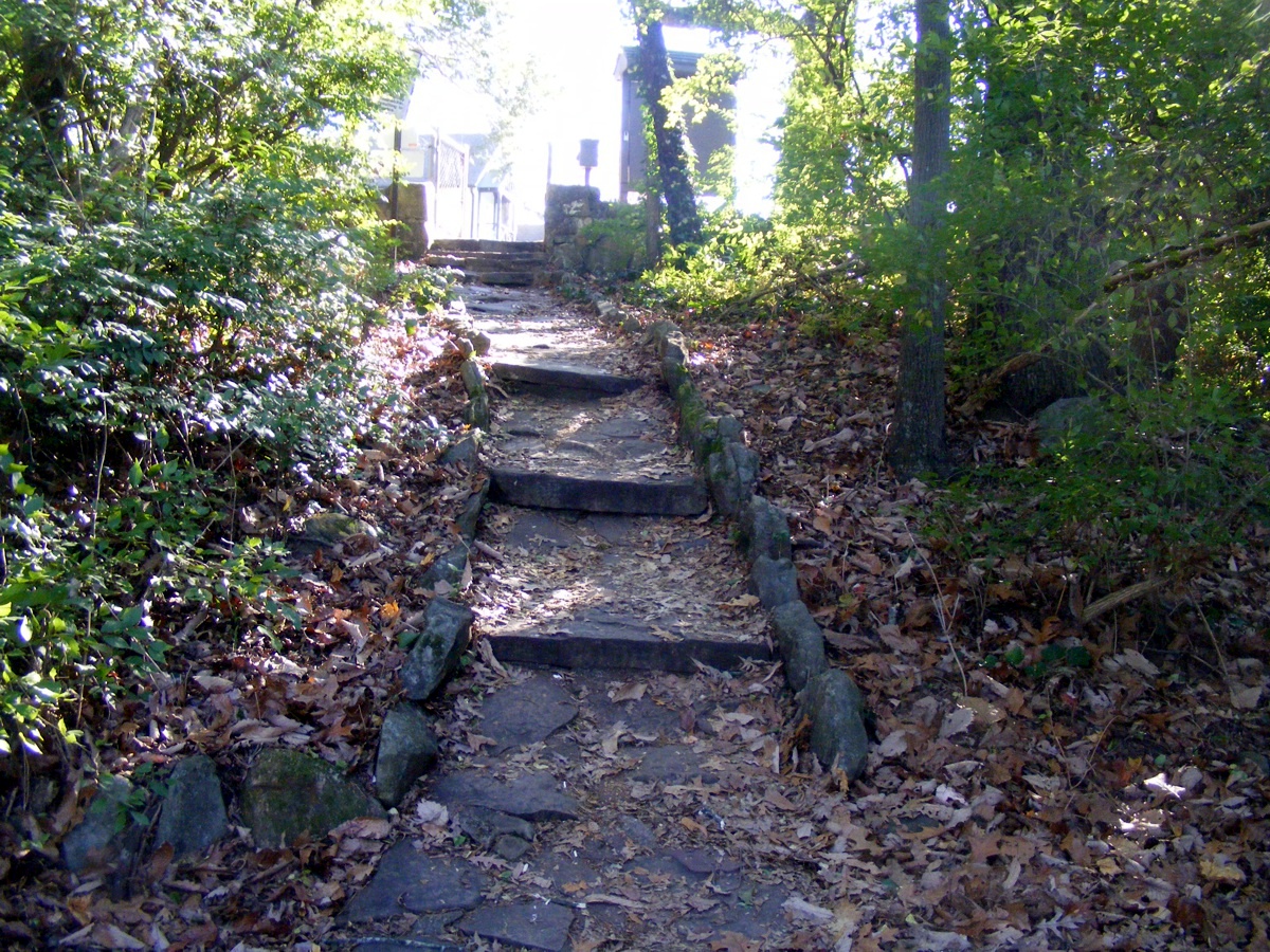
Here is the view looking back toward the parking lot from the turn in the
trail. The original
photo had the sun peeking through the leaves on the right side of the
image. I used post-processing to cover the sun's glare using leaves in
that part of the image. Cut and paste solves many photo issues.
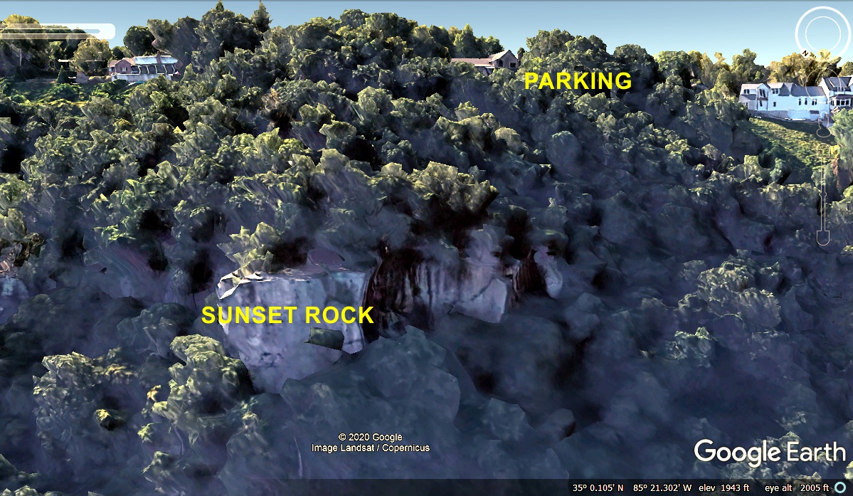
One good thing about Google Earth, I was able to reveal Sunset Rock as if
I was flying my airplane past the site. The elevation of 1,943 feet is
determined by placing my cursor on the rock when I was printing the Google Earth screen
shot into my computer clipboard memory. The elevation at the parking area
is 2,063 feet. That would have been a walk down 120 feet and back up to the parking
lot. That would be equivalent to a 10-story building. The west side of the
mountain did not have bright sunlight in this image compared the houses on top of the
bluff. I had to adjust the image contrast and brightness. The GPS
shows we departed this location at 10:33 AM.
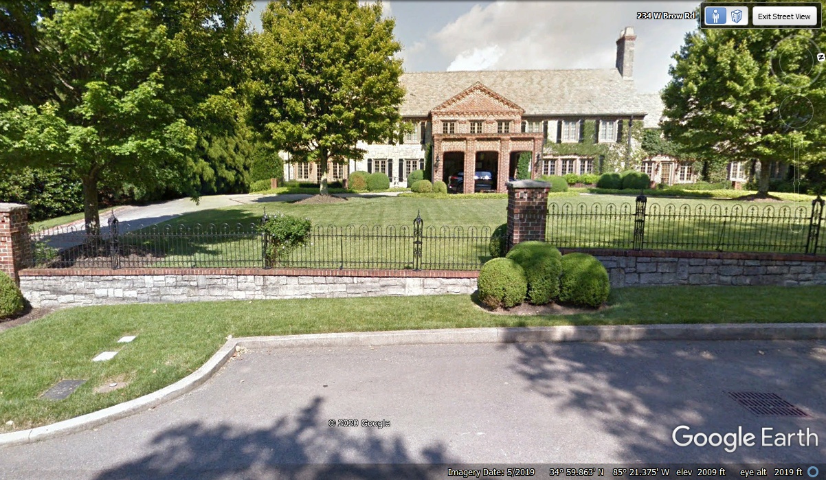
As we followed West Brow road south, there were some fine homes visible
from the street.
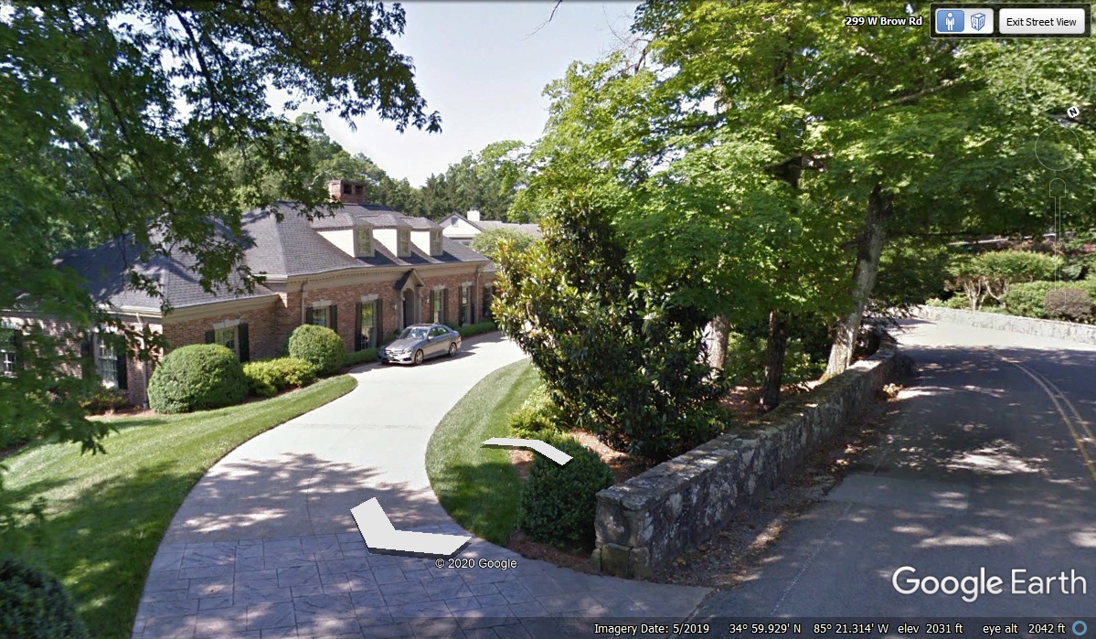
What a place! Or should I call it a PALACE? It was made for guests and parties judging by the
on-street-parking and the number of rooms that are visible from the street.
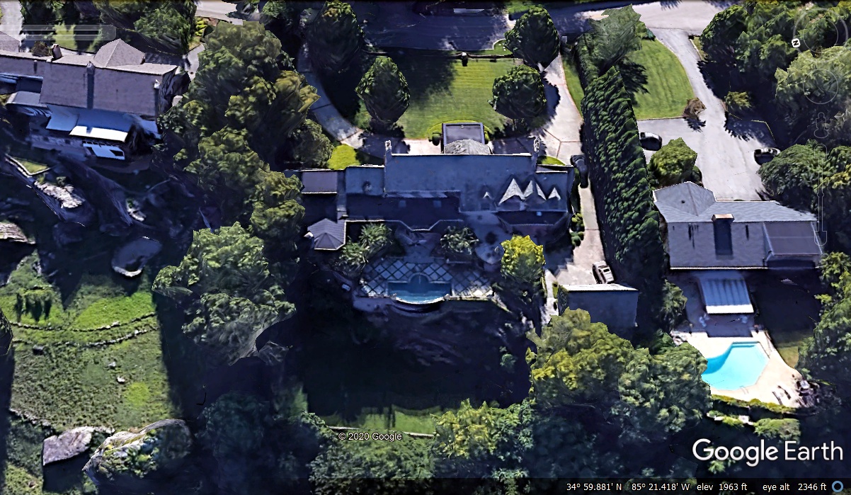
Looking from above and behind reveals the swimming pool and patio deck,
and a back yard well clear of the bluff on the west side of the property (bottom
of the image).
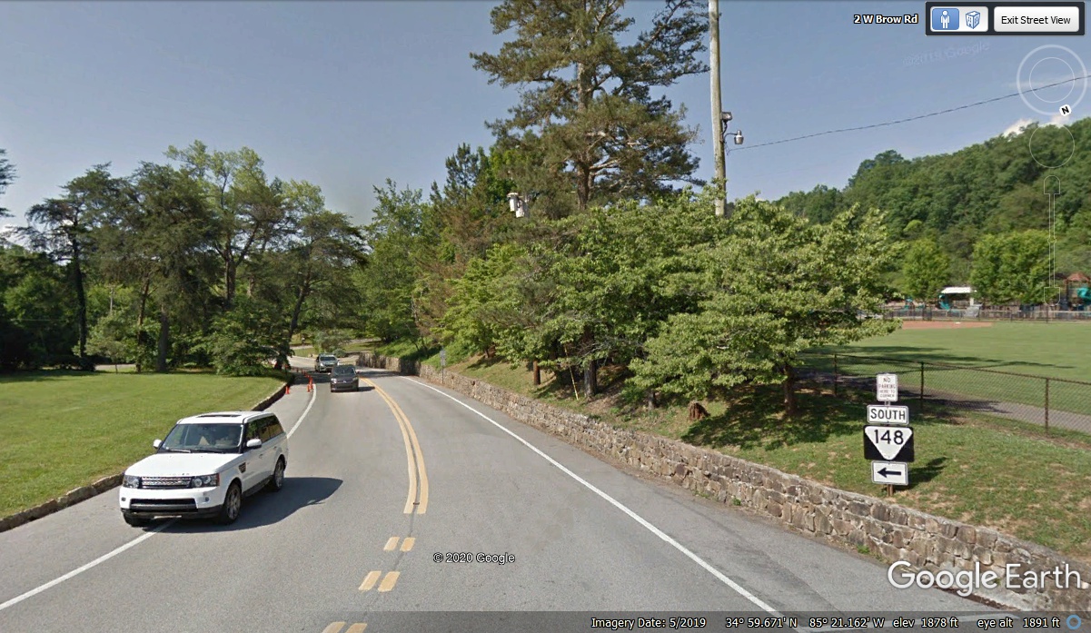
We are still on top of Lookout Mountain in Tennessee away from both sides
of the mountain. This is a public area with three baseball fields and three tennis
courts adjacent to this highway as seen from above using Google Earth.
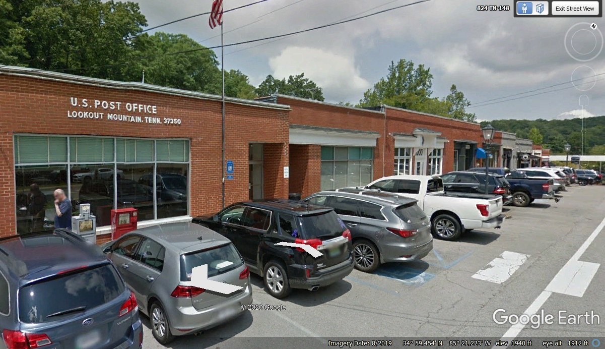
There is a small business district for locals with a US Post Office as we
head south toward the state line with Georgia.
| LOOKOUT MOUNTAIN - - PAGE 20. | RETURN TO 2020 VACATION MENU |