North on Interstate 75 Into Georgia · · PAGE 5.
November 11, 2020: The
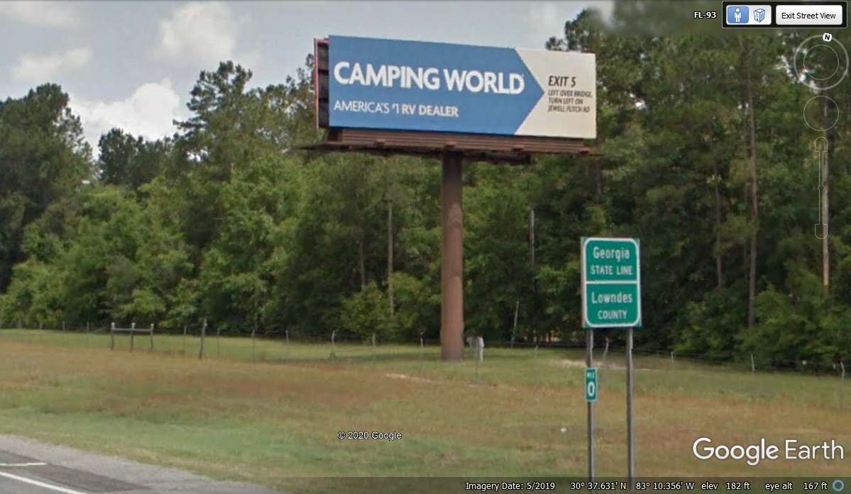
I-75 ZERO mile post is the official state line marker when entering Georgia from
Florida. When the Google Earth photo vehicle came this way in May 2019,
there was a big bug smear on the front of the camera ball 10 feet above
ground. I had to use this angled view image to get away from the blurred
part of the image. The highest point in Florida is listed as 245 feet on
the Alabama state line in the panhandle of Florida. My GPS not only points
the way to our destination, it keeps track of elevation in every data point
recorded to memory. The GPS data point as we crossed into Georgia
indicated 166 feet above sea level at my GPS antenna on top of the car.
There are a couple of places along our route today that I want to check as I
prepare this web page.
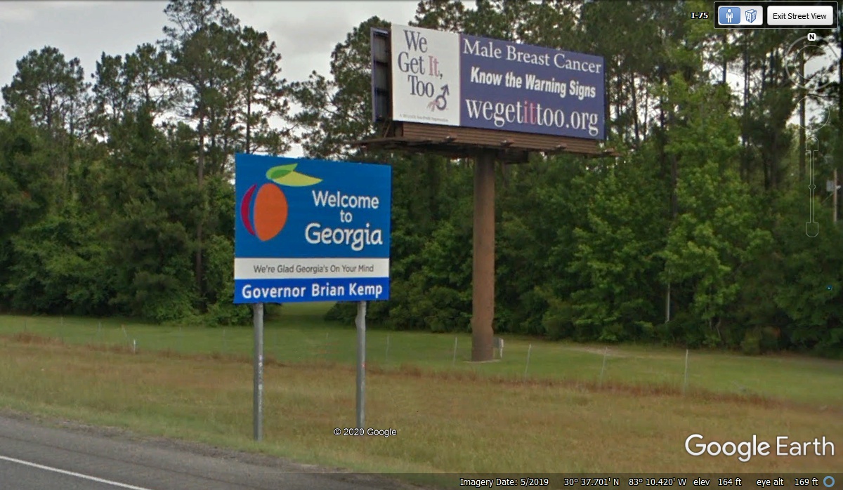
The Welcome to Georgia tourist signs have always had the name of the
current governor on them. This big billboard is the first time I have seen
one about Male Breast Cancer.
The direct mileage from Linda's house to this exit on I-75 is 226
miles. The GPS reported our arrival at this exit ramp at 1:02 PM
today. This is our usual northbound fuel and rest stop exit before heading
deeper into Georgia.
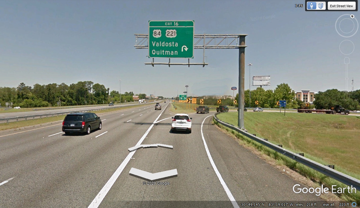
The fuel stop at Murphy Express was at 1:07 PM.
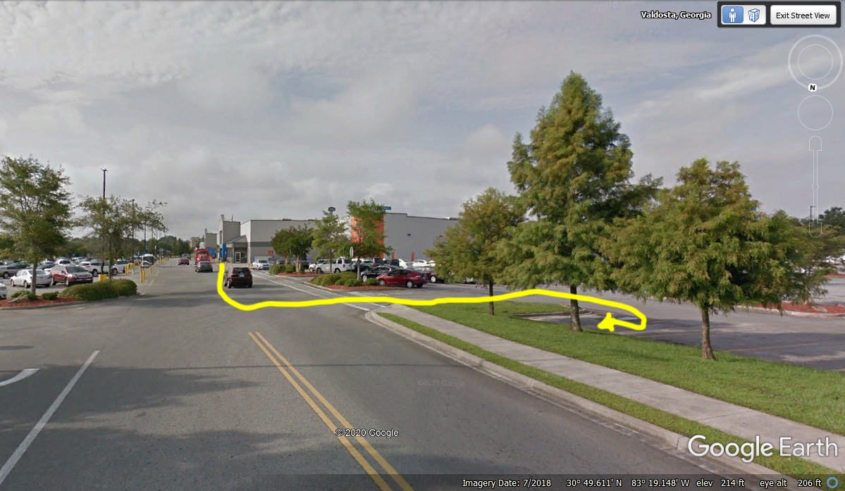
The GPS came back on after fueling at 1:11 PM for the short ride up to Wal-Mart
for a couple of items we failed to put into the cooler bag before we left home
this morning. I let Linda out at the Grocery entrance door.
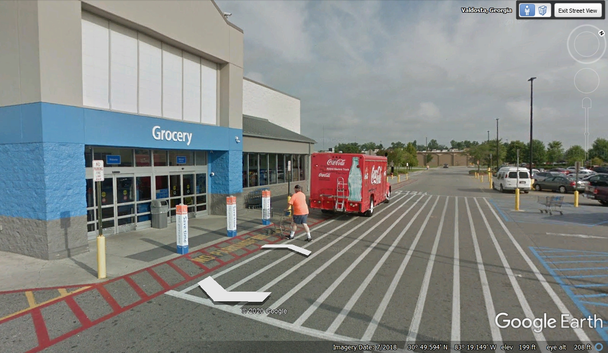
I pulled the
car to the north side of the building where I spotted some grass for Chase to
take his pee break at 1:18 PM. I then walked with him up to the Grocery
entrance to wait for Linda. She took Chase back to the car while I had my
trip to the men's room. We started out of the parking lot at 1:48
PM after our comfort stops were complete with the new purchases put into the
cooler bag.
We went through the drive thru lane at a nearby Wendy's for
some lunch snacks for all three of us. A rain shower came over our parking
place in the Wendy's lot just as we started consuming our lunch. The
YELLOW "X" marks the spot where we parked after getting our snacks at
the drive-thru window.
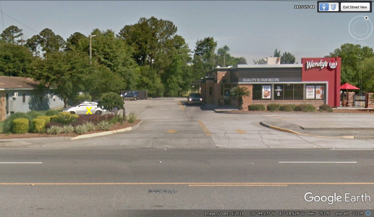
We pulled
out on the road at 2:26 PM, making it a 15-minute lunch time. The GPS
reported the elevation at Wendy's parking lot as 215 feet. Two minutes
later we were heading north on I-75 at the same exit 16 to make up for our time spent sight-seeing
in Florida from Micanopy to Lake City, White Springs, and Jasper Florida on US
41.
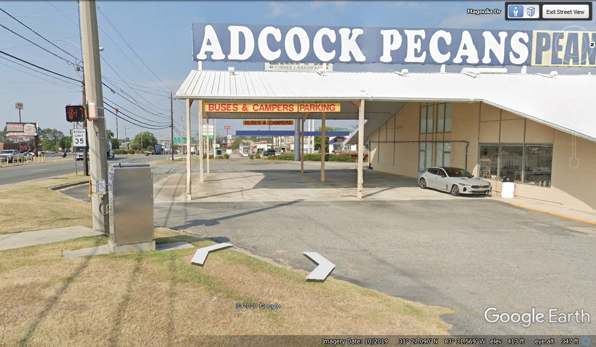
The ride up to Tifton, Georgia was along our way. We stopped at a pecan place to give Chase a break on some grass and to see if the price of
pecans would be low enough to buy some. The GPS reported our arrival there
at 3:10 PM with an elevation of 345 feet. Chase had his pit stop on the
grass near the traffic light control box seen here. Linda came out of the
store saying Publix has better prices for a pound of shelled pecans. This
place is for tourists. We pulled out of the parking lot at 3:20 PM to get
on I-75 northbound.
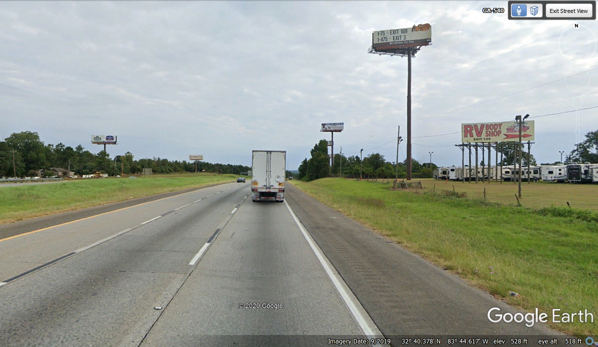
Byron, Georgia is in Peach County near a high point along Interstate 75
just north of mile marker 150. That is 150 miles north of the Florida /
Georgia state line. The ground elevation here is about 510 feet above sea
level before the highway starts down into a valley then climbing the other side
where the I-475 bypass west of Macon begins its 14-mile path to connect with
I-75 again northwest of Macon and continues north to Atlanta.
Heading down the hill, mile marker 122 went by as the elevation was 400
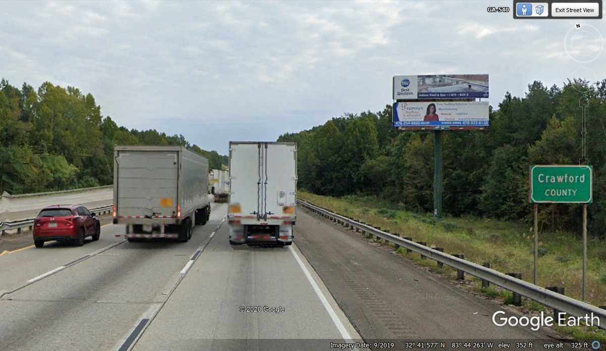
feet. A bit further down the hill, this Crawford County sign is at 352
feet elevation.
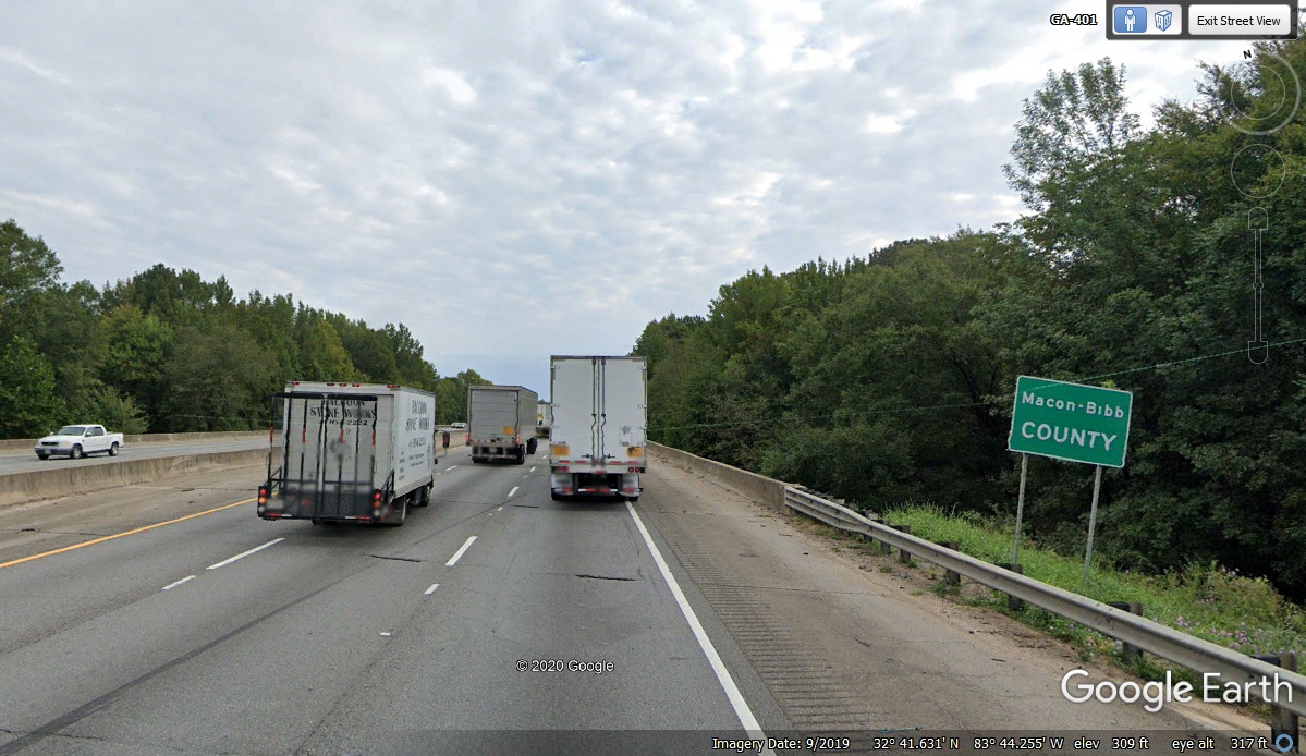
At the bottom of the valley is a bridge that crosses the Echeconnee Creek,
which is the Bibb county line and city limits on the south side of Macon,
Georgia. The highway elevation near the middle of the bridge is about 308
feet.
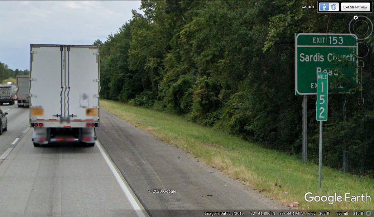
Mile marker 152 was just north of the bridge at the county line and
surprised me with a lower reading of 302 feet above sea level.
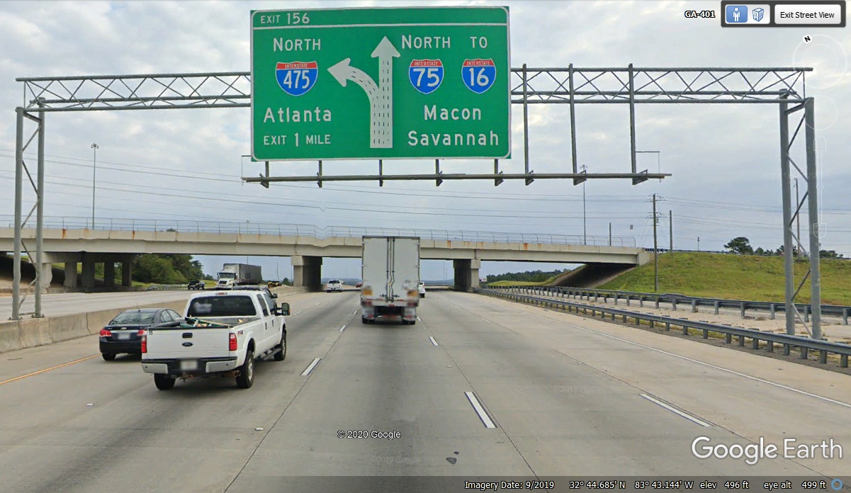
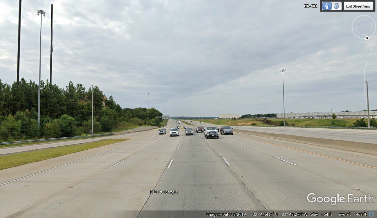
This image shows the high point on the north side of the valley at 496
feet directly under Hartley Bridge road exit 155 north of mile marker 155.
I have traveled this route well over 100 times since 1973. I have wondered
how far it was from the hill north of Byron to this exit sign and 5.5 miles is
still the number. We continued north on I-75 to I-16.
Looking south from the end of the exit ramp that leads to the bridge seen
above is the last place where the road is straight enough to see the other side
of the valley 5.5 miles away where the highway starts down to the bridge at the
Bibb county line on its way here. This location is at 454 feet above sea
level.
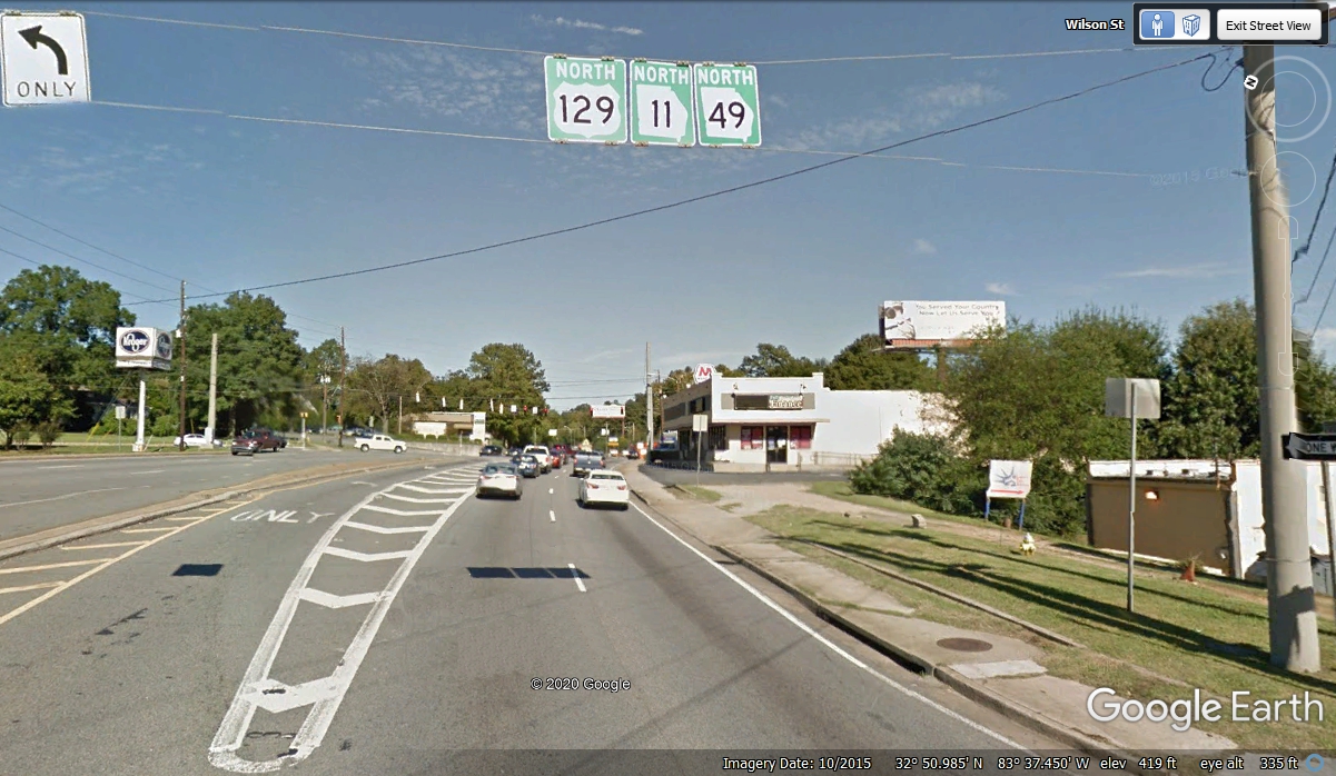
We passed through Macon, Georgia at 4:45 PM, then took I-16 over to US 129
northbound heading north out of Macon, going up to Athens, Georgia to our motel
for tonight.
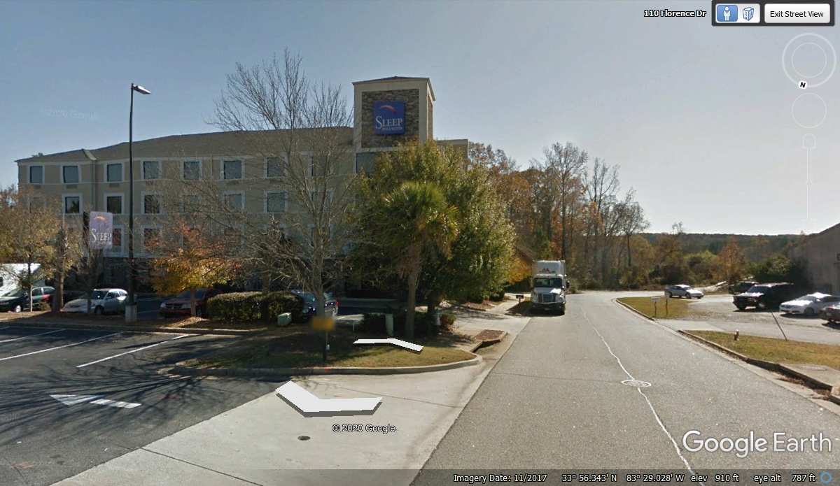
This Sleep Inn is located on the west side of town. GPS
arrival time was 6:50 PM after dark. This total distance traveled today was
about 492 miles. The last 100 miles north of Macon were two-lane and
four-lane roads, not on interstate routes. The next morning I found the best
grass with CLOVER in that patch just across the street from the motel.
Chase was happy over there and with the grass behind the Sonic Drive-In located
in front of the motel. The image below is during day light from Google
Earth, but it was very DARK when we got to the motel.
| CLICK HERE FOR FAMILY VISITS - - PAGE 6. | RETURN TO 2020 VACATION MENU |